
Road signs in Andorra
All 180 road signs used in Andorra, grouped by type, with what each one means.
Free to browse — no signup. Every sign with its shape, colours and what it means.
Every sign in Andorra
Andorra follows the Vienna Convention, so its signs match most of Europe.
Warning signs
42 signs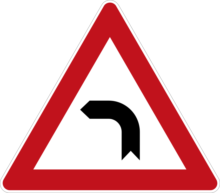 Bend leftCode A,1bWarns that there is a single sharp bend or curve in the road ahead, curving to the left.
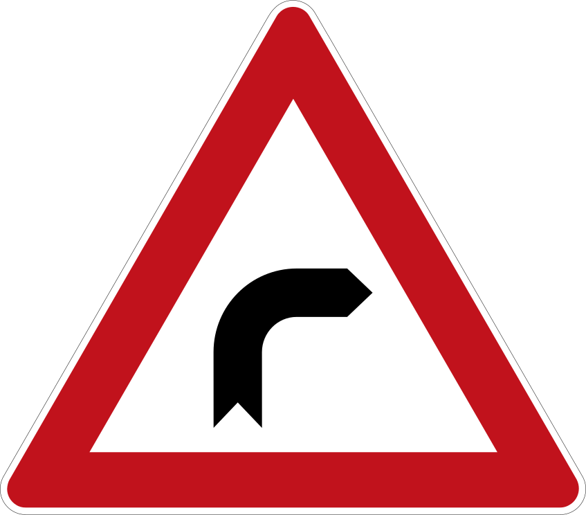 Bend rightCode A,1aWarns that there is a single sharp bend or curve in the road ahead, curving to the right.
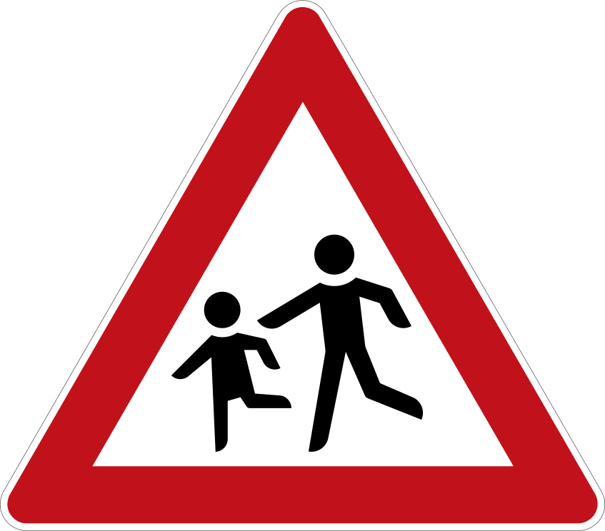 ChildrenCode A,13Warns of an area frequented by children, such as a school, playground or residential zone.
 Crossroads equal priorityCode A,18aWarns of an intersection ahead where the give-way-to-the-right (or other general) priority rule applies.
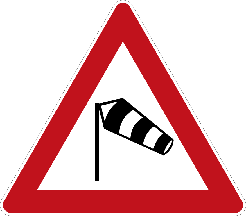 CrosswindCode A,31Warns that the road ahead is subject to strong crosswinds or sudden gusts.
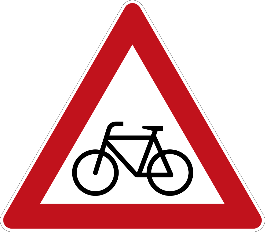 CyclistsCode A,14Warns of a point where cyclists frequently cross or enter the road, or where a cycle path crosses.
Priority signs
7 signs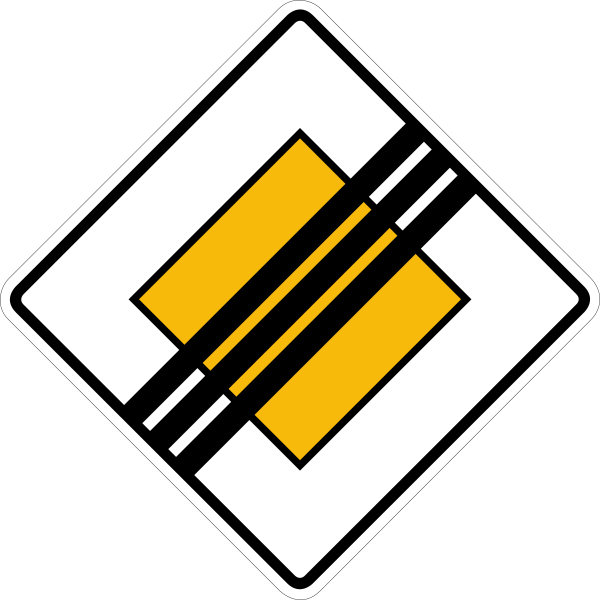 End of priority roadCode B,4The priority road ends here; normal priority rules (or signed priority) apply at intersections from this point on.
 Give wayCode B,1Give way (yield) to traffic on the road you are about to enter or cross; you need not stop if the way is clear.
 Priority for oncoming trafficCode B,5Give way to oncoming traffic in the narrow section ahead; do not enter until you can pass without forcing oncoming vehicles to stop.
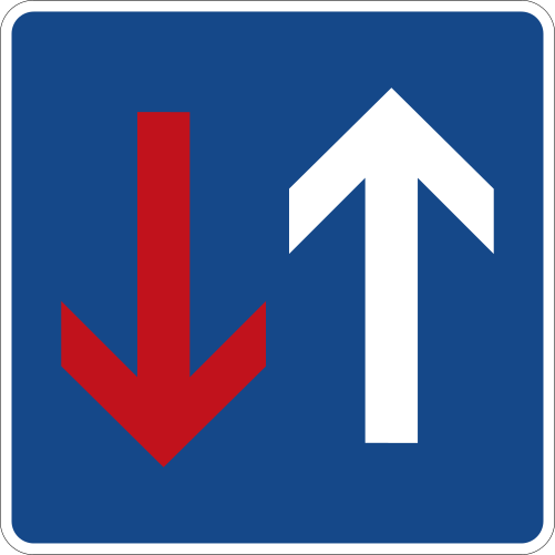 Priority over oncoming trafficCode B,6You have priority over oncoming traffic in the narrow section ahead; oncoming vehicles must give way to you.
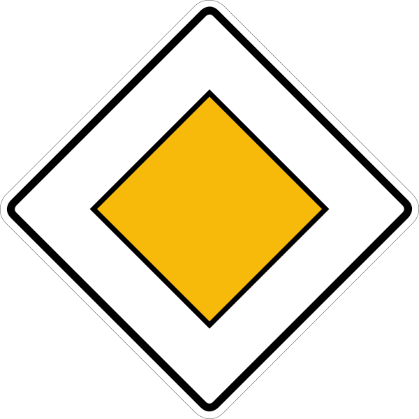 Priority roadCode B,3You are on a priority road and have right of way at the intersections ahead until the priority is cancelled.
 StopCode B,2aStop completely at the marked line (or before entering the intersection) and give way to all traffic before proceeding.

Prohibition signs
52 signs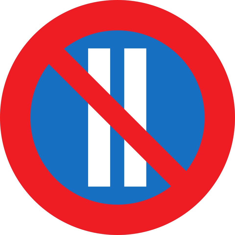 Alternate parking even datesCode C,20bParking on this side is prohibited on even-numbered dates of the month (alternate-side parking scheme).
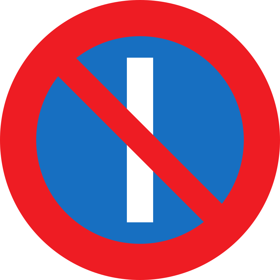 Alternate parking odd datesCode C,20aParking on this side is prohibited on odd-numbered dates of the month (alternate-side parking scheme).
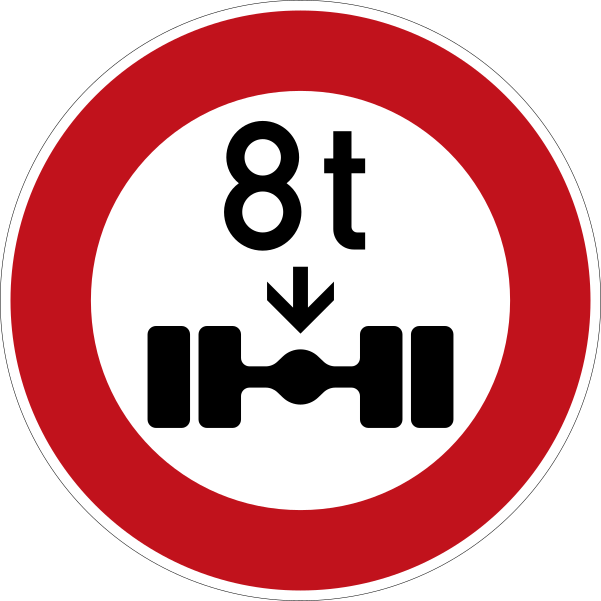 Axle weight limitCode C,8No entry for vehicles with a mass on any one axle exceeding the indicated figure in tonnes.
 Closed to all vehicles both directionsCode C,2The road is closed to all vehicles in both directions of travel.
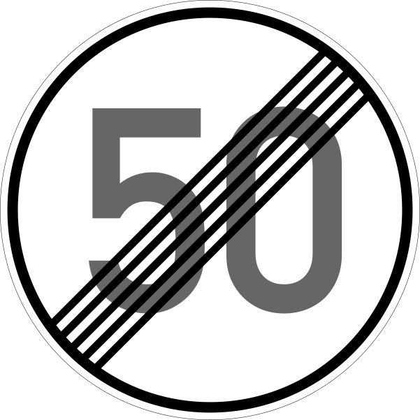
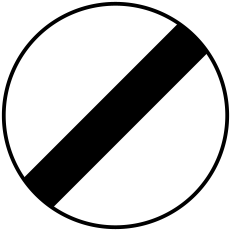 End of all restrictionsCode C,17aEnd of all local prohibitions imposed on moving vehicles by previous prohibitory signs.
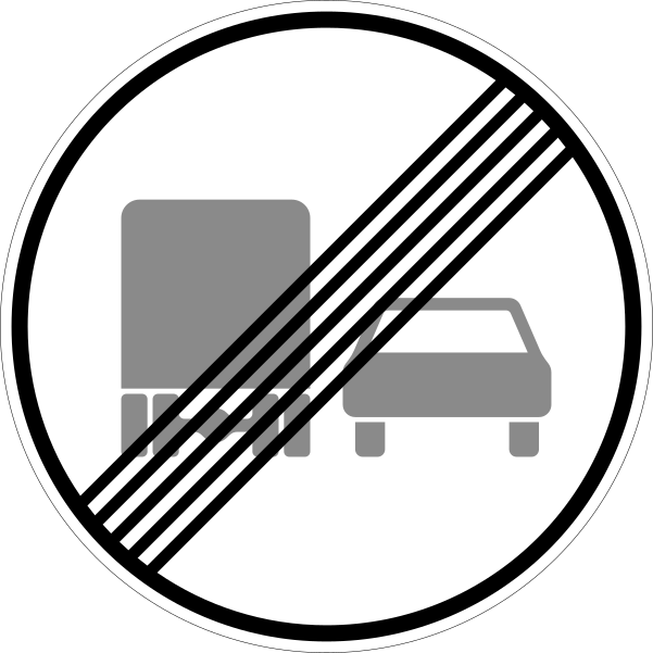
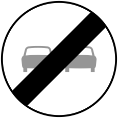 End of no overtakingCode C,17cEnd of the prohibition of overtaking.
Mandatory signs
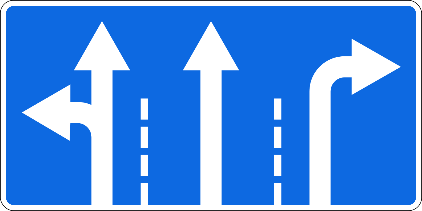
18 signs Combined mandatory directionsCode D,11A combination sign grouping two or more mandatory directions or path obligations on a single panel.
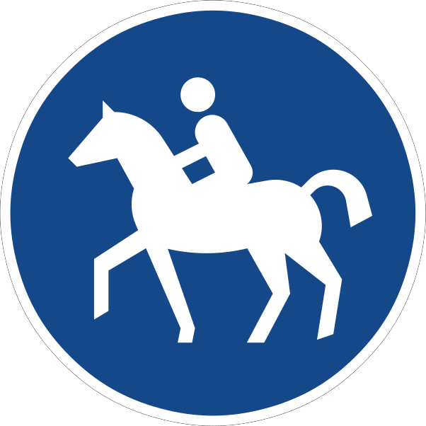 Compulsory bridle pathCode D,6The track is reserved for riders on horseback, who must use it; other road users are prohibited from using it.
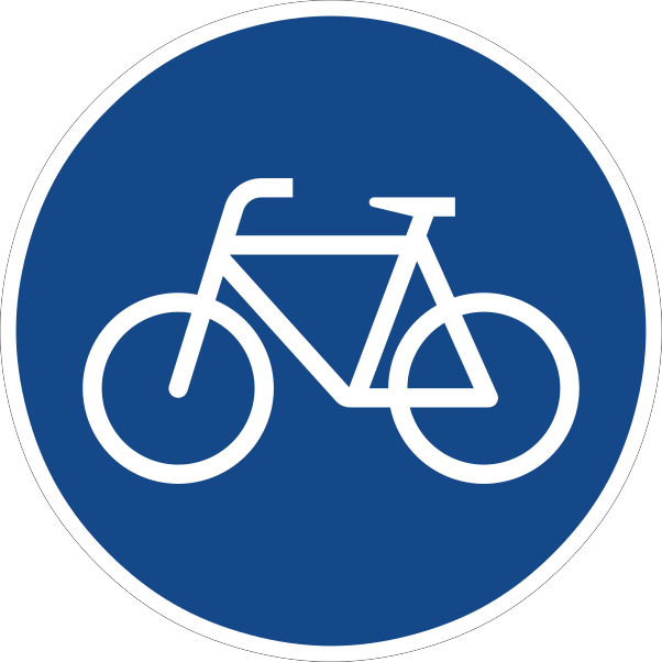 Compulsory cycle trackCode D,4The track is reserved for pedal cyclists, who must use it; other vehicles are prohibited from using it.
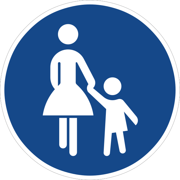 Compulsory footpathCode D,5The path is reserved for pedestrians, who must use it; other road users are prohibited from using it.
 Compulsory roundaboutCode D,3Drivers must follow the direction of circulation around the roundabout (i.e. travel clockwise or anticlockwise as the arrows show).
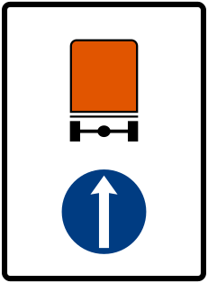 Dangerous goods directionCode D,10Vehicles carrying dangerous goods must proceed in the direction indicated by the arrow.
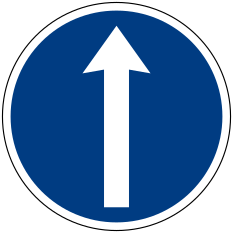
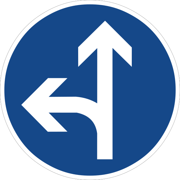
Special regulation signs
23 signs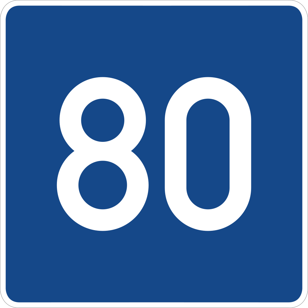 Advisory speedCode E,?Indicates a recommended (advisory) speed for a section of road, not a legally binding limit.
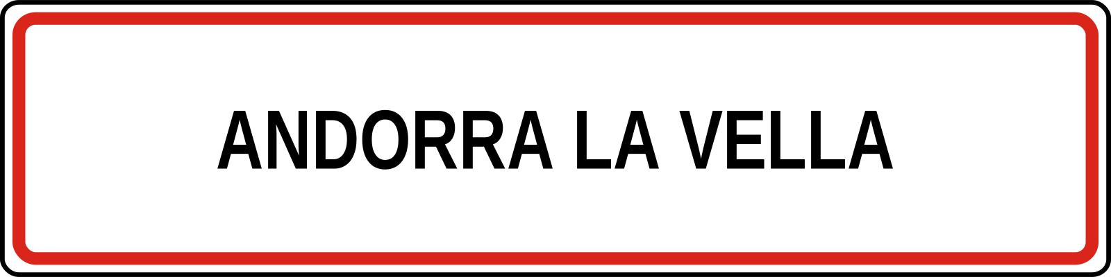 Built up area beginCode E,9aMarks the start of a built-up area (town or village), where built-up-area traffic rules and the urban speed limit apply.
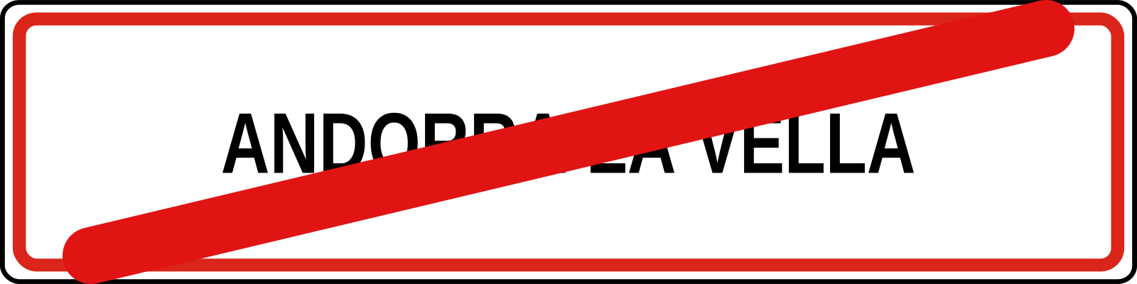 Built up area endCode E,9bMarks the end of a built-up area; built-up-area rules and the urban speed limit cease to apply.
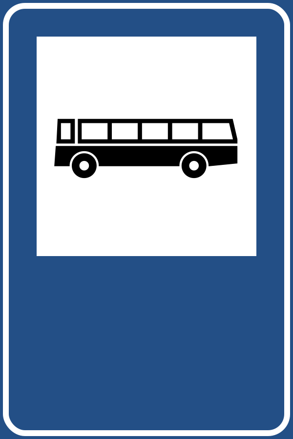 Bus stopCode E,15Indicates a stopping place for buses (and trolleybuses).
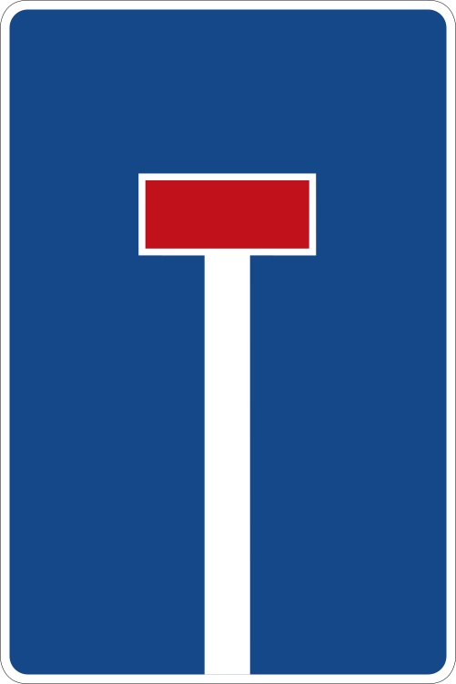 Dead end roadCode E,?Indicates that the road ahead has no through route (a cul-de-sac); vehicles must return the way they came.
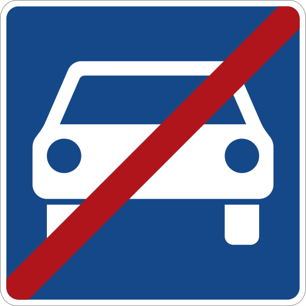
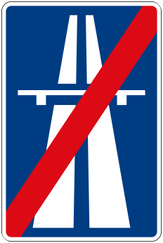 End of motorwayCode E,6Marks the end of a motorway and of the special rules that applied on it.
Information signs
21 signs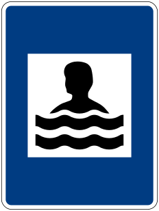 Beach or swimming poolCode F,16Indicates the location of, or route to, a beach or public swimming facility.
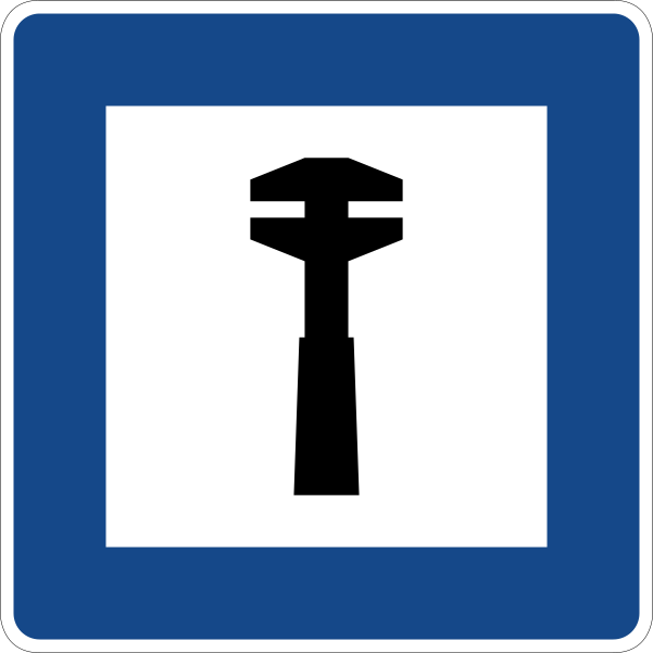 Breakdown serviceCode F,2Indicates the location of, or route to, a vehicle breakdown / repair service.
 Camping and caravan siteCode F,12Indicates a site permitted for both tent camping and caravans.
 Camping siteCode F,10Indicates a site permitted for tent camping.
 Caravan siteCode F,11Indicates a site permitted for caravans and motor caravans.
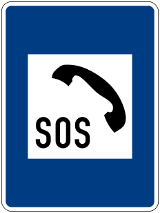 Emergency telephoneCode F,17Indicates the location of an emergency telephone for calling assistance.
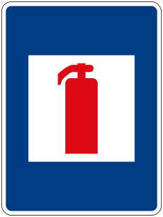
Direction signs
9 signs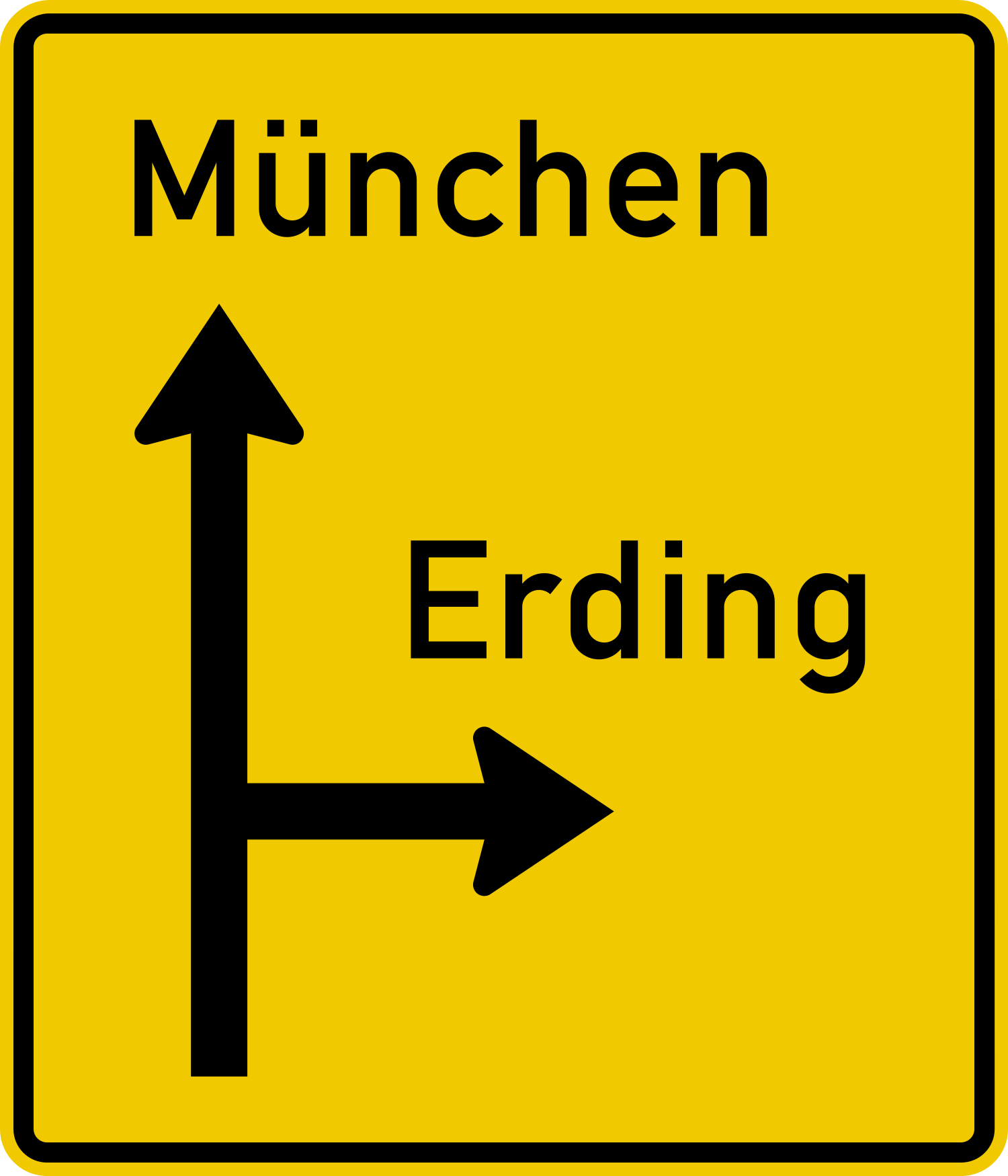 Advance direction signCode G,1Gives advance notice, before a junction, of the destinations reachable and the direction to each.
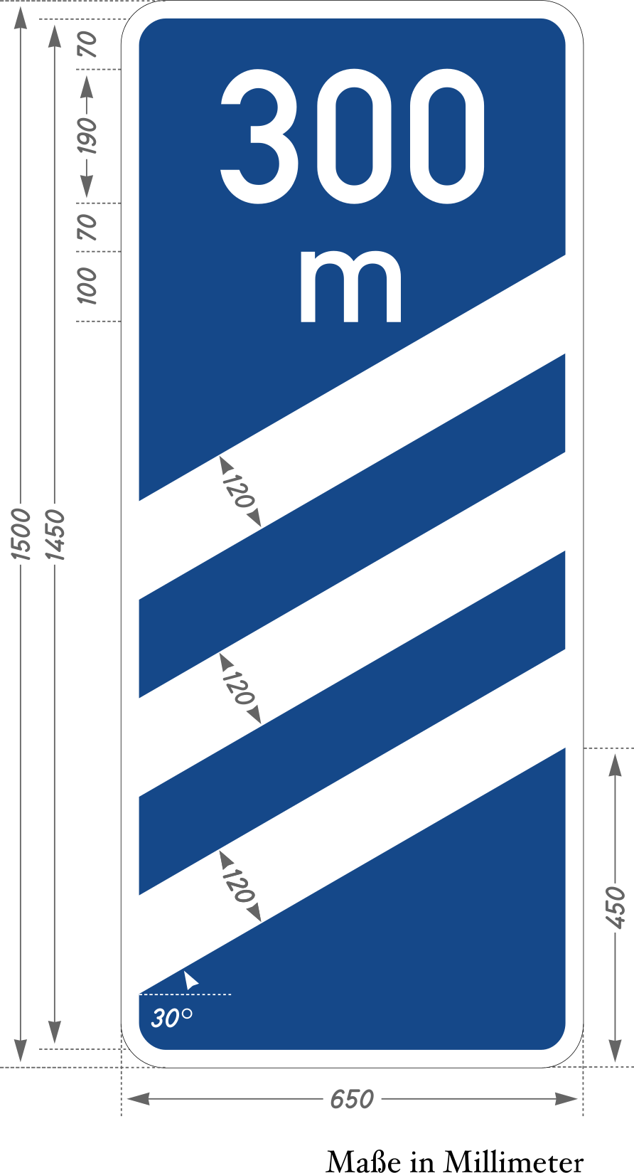 Countdown markersCode G,22Countdown beacons indicating the approach to a motorway exit, typically at 300, 200 and 100 metres.
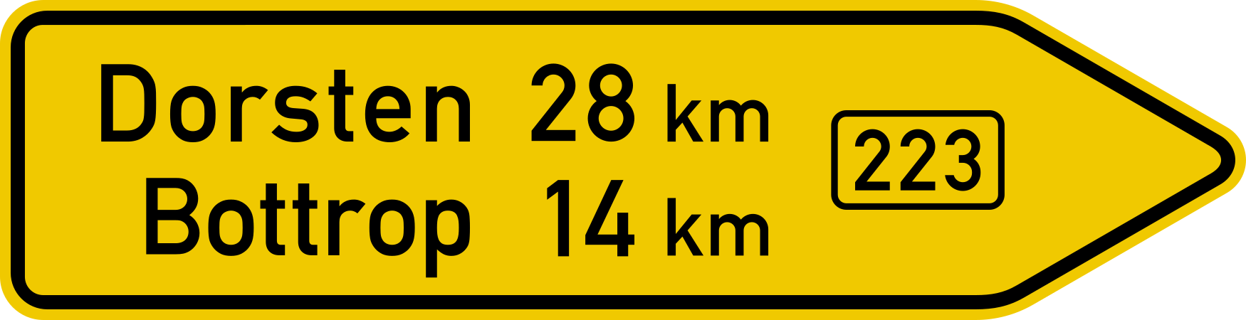 Direction sign arrowheadCode G,2Indicates, at a junction, the direction to a named destination.
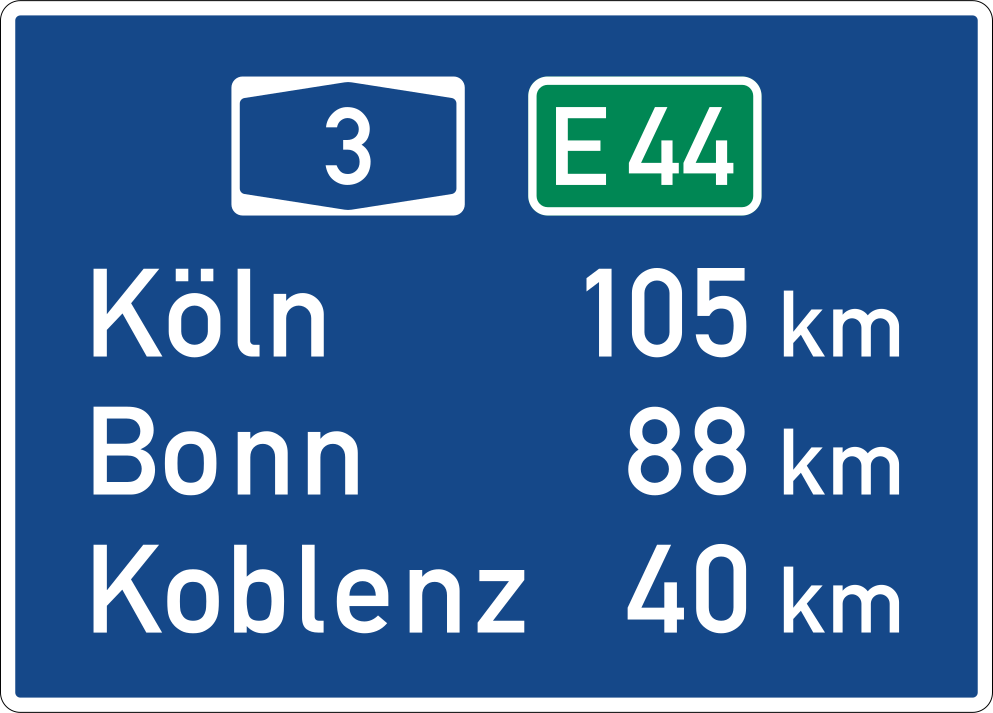 Distance markerCode G,6Indicates the distance, in kilometres, to a destination or the cumulative distance along a route.
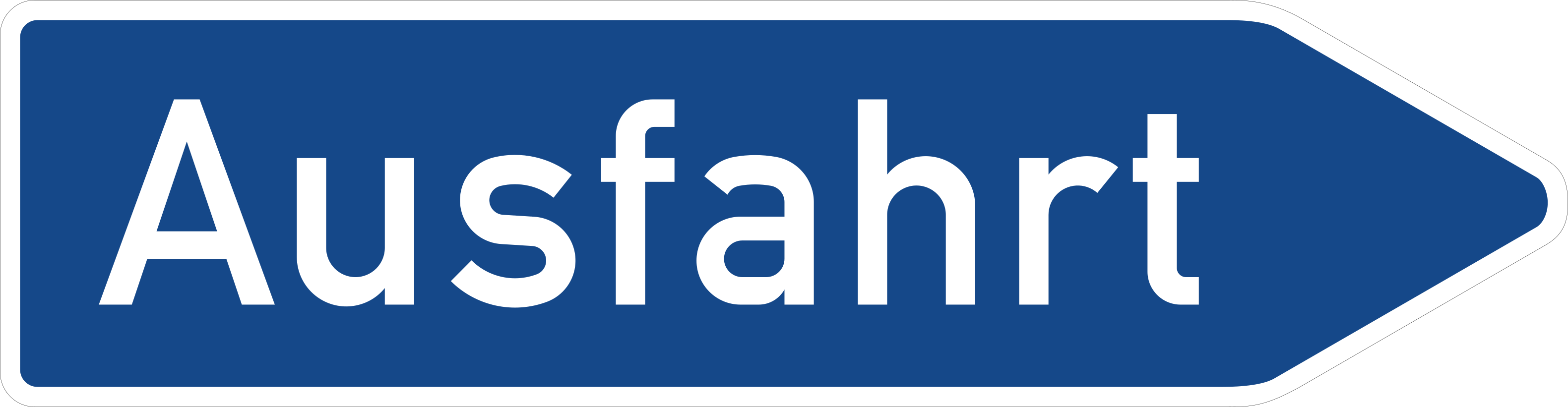 Exit signCode G,5Indicates an exit from a motorway or expressway and the destinations served by it.
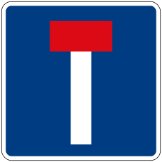 No through road indicationCode G,13Advises that the road or one of its branches is a no-through road (dead end).
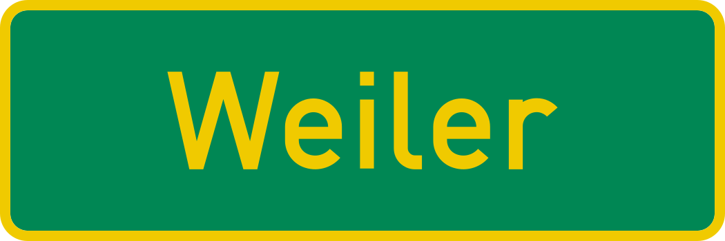
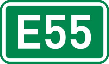
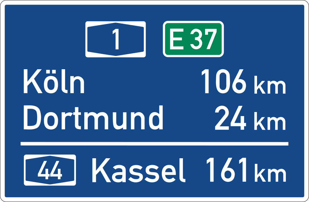
Additional panels
8 signs Panel directional arrowCode H,3Shows the direction in which the main sign's restriction, hazard or facility lies.
 Panel distance to hazardCode H,1States the distance from the sign to the start of the hazard or zone to which the main sign refers.
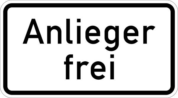 Panel except residentsCode H,6Exempts a specified group — such as residents, permit holders or service vehicles — from the main sign's restriction.
 Panel extent applies from hereCode H,8Indicates that the regulation of the main sign begins at this point (start of zone).
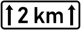 Panel length of zoneCode H,2States the length of the road section over which the main sign's hazard or restriction applies.
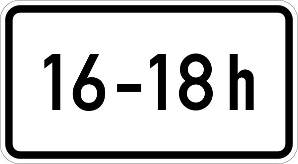 Panel time of applicationCode H,4States the times, days or periods during which the main sign's regulation is in force.

Signs explained
What the main sign groups mean and what to do when you see one.

Warning signs
Alert drivers to potential hazards ahead. Usually triangular with red border.12 signs
Prohibitory signs
Indicate actions that are not permitted. Usually circular with red border.7 signs
Mandatory signs
Indicate required actions or directions. Usually circular with blue background.3 signs
Priority signs
Indicate who has right of way at intersections. Various shapes and colors.5 signs
Informational signs
Provide useful information about facilities, services, and locations.6 signs
Direction signs
Guide drivers to destinations, exits, and distances.3 signs
Special zone signs
Indicate special areas like school zones, pedestrian areas, and work zones.2 signsReady for your Andorra theory test?
Signs are only part of the exam. Practise full Andorra mock tests and see which topics you still get wrong.