
Road signs in New Zealand
All 473 road signs used in New Zealand, grouped by type, with what each one means.
Free to browse, no sign-up required. Every sign with its shape, colors, and meaning.
Every sign in New Zealand
These are the signs as they appear in New Zealand, which uses its own sign system.
Warning signs
122 signs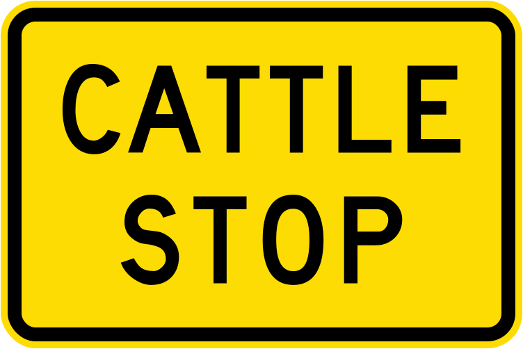 Cattle stopCode W14-8.2Warning that a cattle stop (grid) is ahead on the road (current version).
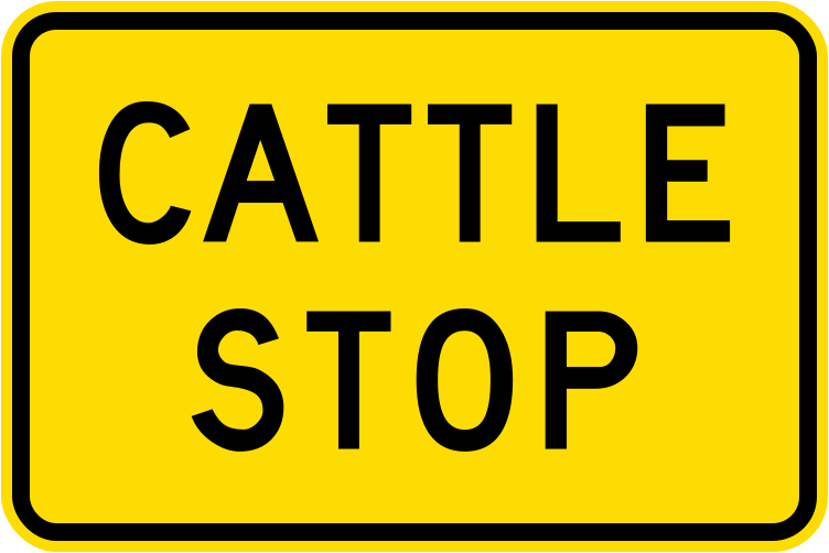 Cattle stop 1987Code W14-8.2Warning that a cattle stop (grid) is ahead on the road (1987–2016 version).
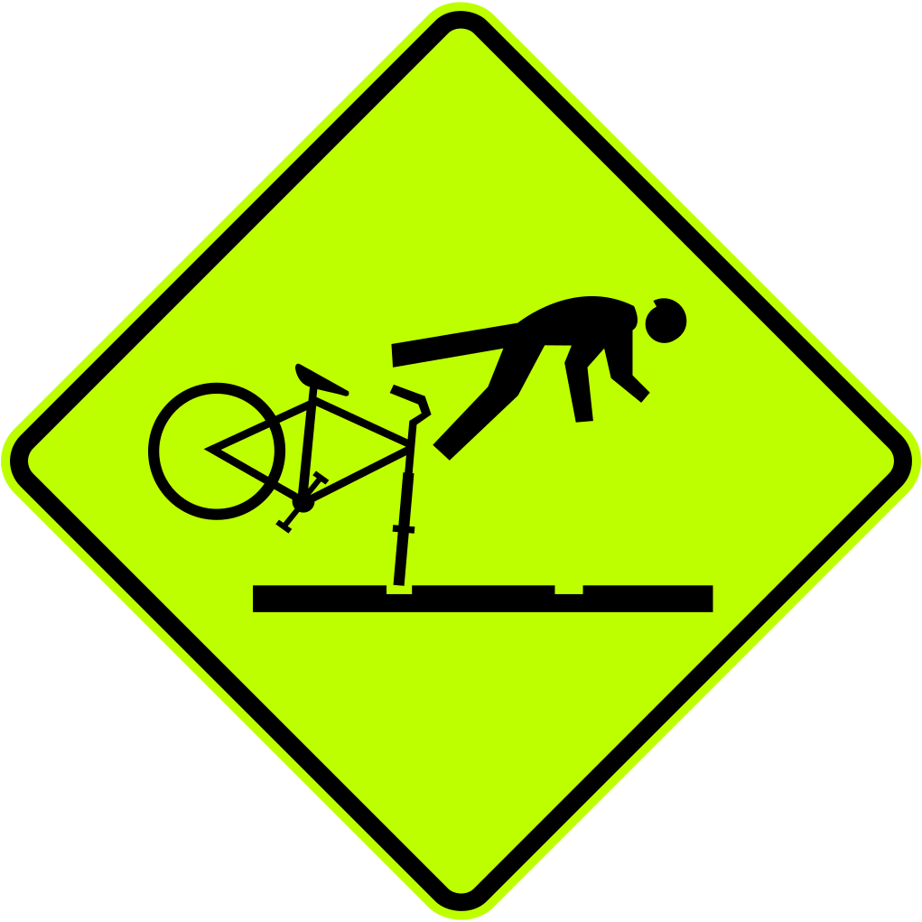 Cattle stop hazard cyclist unofficialCode W15-11Unofficial warning sign showing a cyclist being thrown over a cattle stop, cautioning cyclists about the hazard ahead (fluorescent yellow-green).
 Chevron delineator leftCode PW-13SLChevron delineator board indicating a curve to the left ahead.
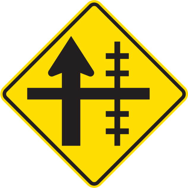 Chevron delineator rightCode PW-13SRChevron delineator board indicating a curve to the right ahead.
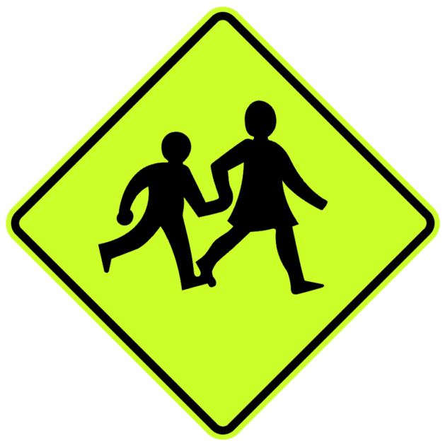 Children school warningCode W6-2Children crossing ahead — warns drivers that children (school pedestrians) may be crossing the road.
 ConcealedCode W12-3.3Supplementary warning panel indicating a concealed entrance, driveway, or hazard is present (current version).
 Concealed 1987Code W12-3.3Supplementary warning panel indicating a concealed entrance, driveway, or hazard is present (1987–2016 version).
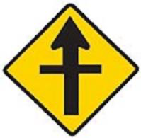 Crossroads warningCode W2-1Crossroads ahead — warns drivers that a four-way intersection is approaching.
 Curve chevron leftCode C1Curve chevron delineator indicating a sharp curve to the left — used on the outside of the curve to guide drivers.
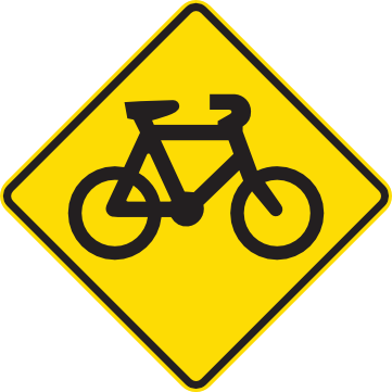 Cyclist area warningCode W6-6Cyclist area ahead — warns drivers that cyclists may be present on or near the road.
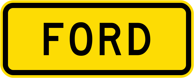 FordCode W14-8.1Warning that a ford (shallow water crossing) is ahead on the road (current version).
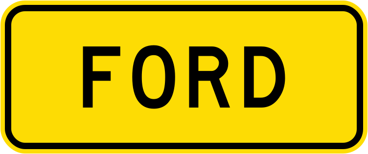 Ford 1987Code W14-8.1Warning that a ford (shallow water crossing) is ahead on the road (1987–2016 version).
 GateCode W14-8.3Warning that a gate across the road is ahead (current version).
 Gate 1987Code W14-8.3Warning that a gate across the road is ahead (1987–2016 version).
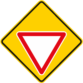 Give way ahead warningCode W1-9Give way ahead — warns drivers that a give way sign is approaching and they should be prepared to yield.
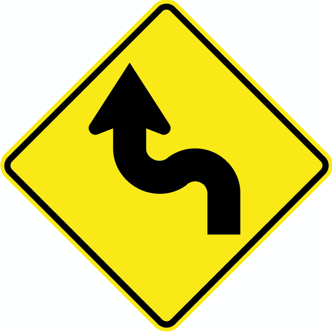 Hairpin curve left warningCode PW-21LWarning of a hairpin curve to the left ahead.
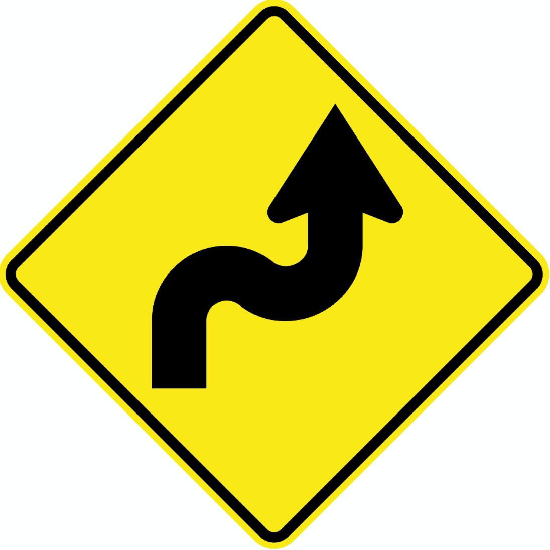 Hairpin curve right warningCode PW-21RWarning of a hairpin curve to the right ahead.
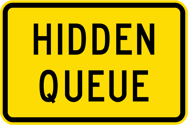 Hidden queueCode W10-5.2Warning of a hidden queue of vehicles ahead not visible from the current position (current version).
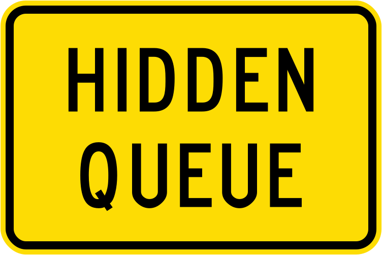 Hidden queue 1987Code W10-5.2Warning of a hidden queue of vehicles ahead not visible from the current position (1987–2016 version).
 Kiwi warningCode W6-21Kiwi crossing ahead — warns drivers that kiwi birds may be on or crossing the road, particularly at night.
 Kiwi warning alternateAlternate design warning of kiwi (endangered native bird) in the area; drivers should watch out for kiwi crossing, especially at night.
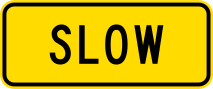 Permanent warning slowPermanent warning to slow down, used in areas where a speed reduction is required at all times.
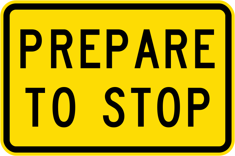 Prepare to stopCode W10-5.1Warning that drivers should be prepared to stop ahead, typically at traffic signals or a stop point (current version).
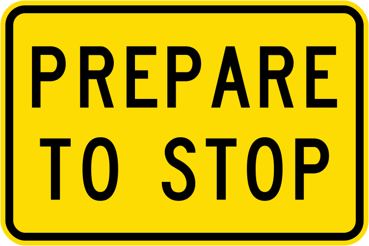 Prepare to stop 1987Code W10-5.1Warning that drivers should be prepared to stop ahead (1987–2016 version).
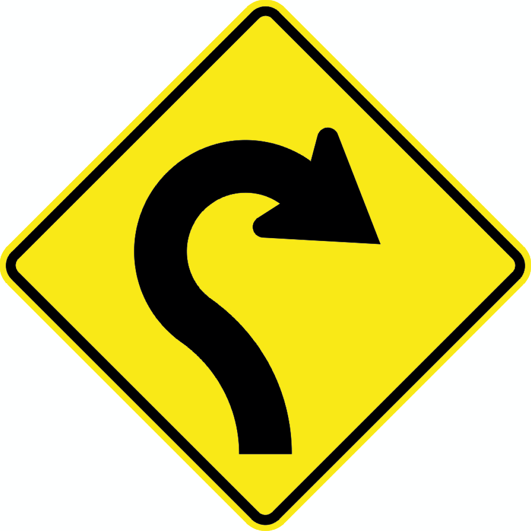 Winding road rightCode PW-22RWinding road ahead, first curve to the right.
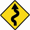 Winding road leftCode PW-23-LWinding road ahead, first curve to the left.
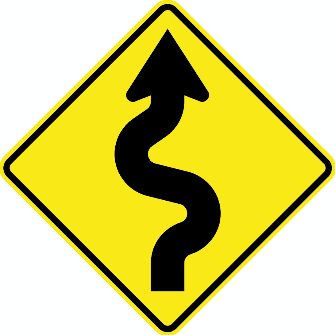 Winding road right multiCode PW-23RWinding road ahead with multiple curves, first curve to the right.
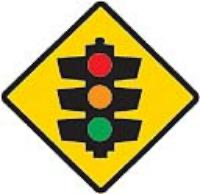 Traffic signalsCode PW-3Traffic signals ahead.
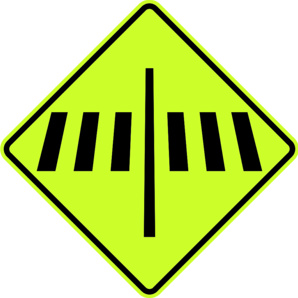 Pedestrian crossingCode PW-30FPedestrian crossing ahead.
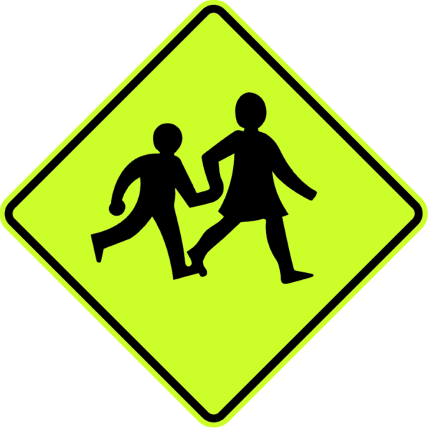 L school crossingCode PW-31F-LSchool crossing ahead — children crossing the road.
 School zone signCode PW-32FSchool zone — supplementary rectangular sign used with school warning signs.
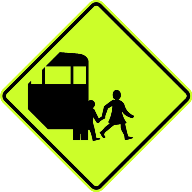 School bus stopCode PW-34FSchool bus stop ahead — children boarding or alighting a bus.
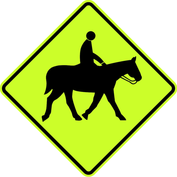 Horse riderCode PW-36FHorse riders may be on or crossing the road ahead.
 SheepCode PW-37-1.1Sheep on or crossing the road ahead.
 CattleCode PW-37-1Cattle on or crossing the road ahead.
 DipCode PW-38Dip in the road ahead.
 Speed humpCode PW-39Speed hump (raised pavement) ahead.
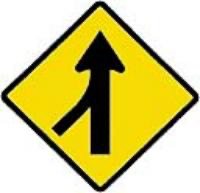 L merging traffic leftCode PW-4-LTraffic merging from the left ahead.
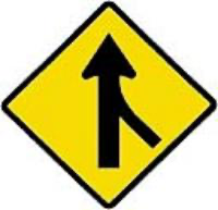 R merging traffic rightCode PW-4-RTraffic merging from the right ahead.
 Rough roadCode PW-40Rough or uneven road surface ahead.
 Falling rocks leftCode PW-42LFalling rocks from the left — danger of rockfall onto road.
 Falling rocks rightCode PW-42-RFalling rocks from the right — danger of rockfall onto road.
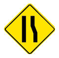 Lane narrows rightCode PW-43RRoad narrows ahead from the right.
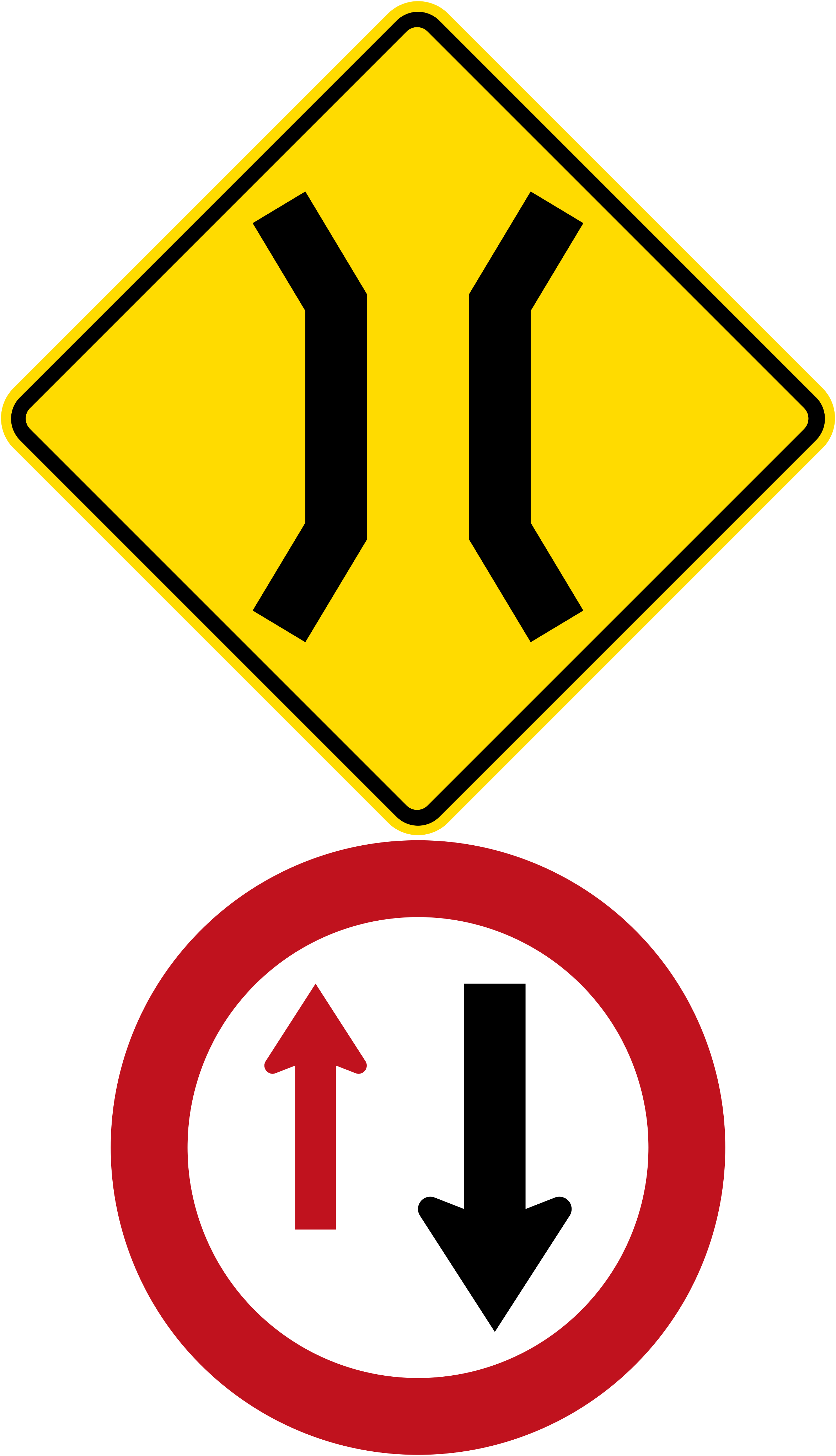 Rg 19 narrow bridge give wayCode PW-44 / RG-19Narrow bridge ahead combined with a give-way to oncoming traffic regulatory sign; one lane, you must give way.
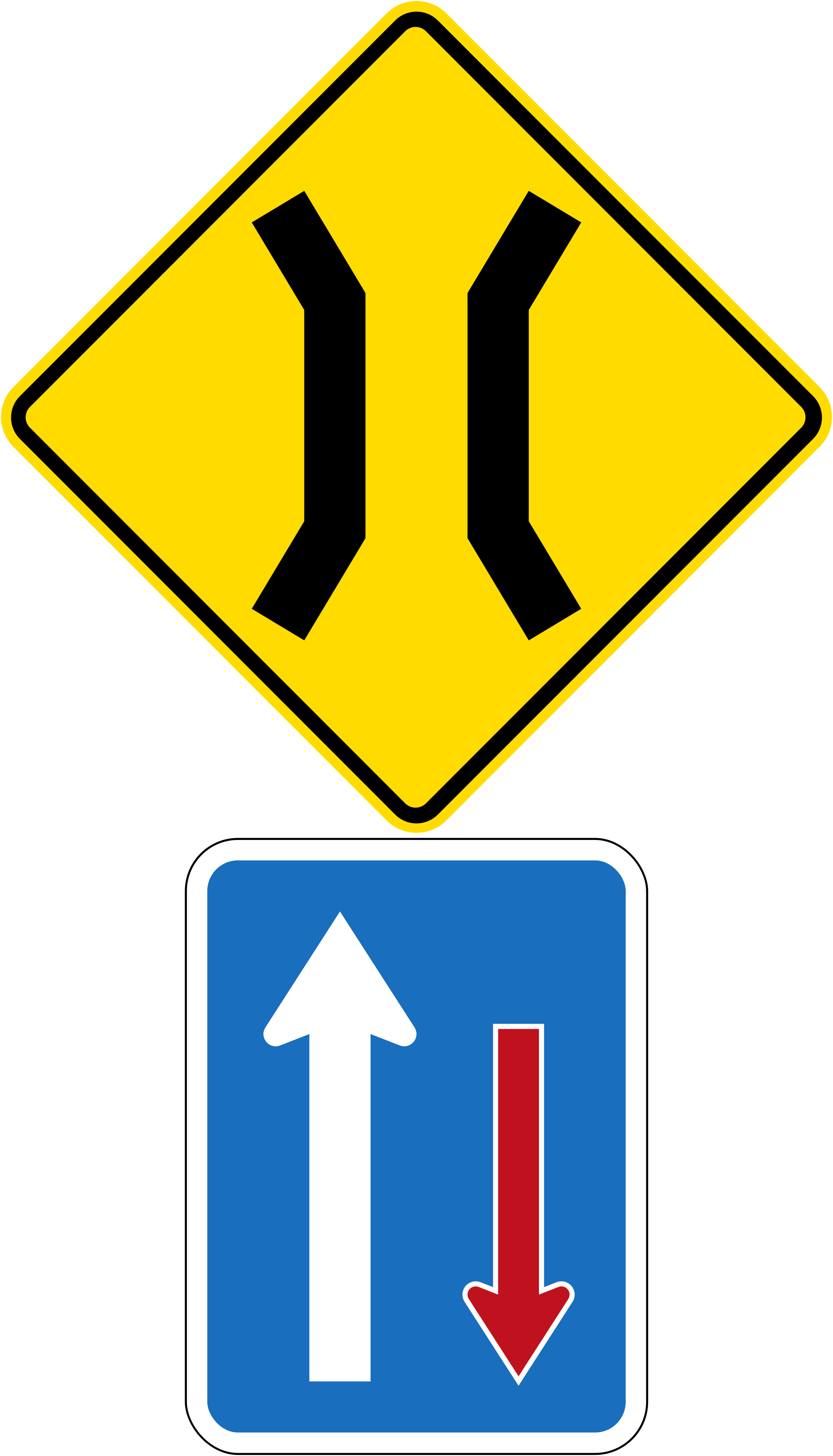 Rg 20 narrow bridge priorityCode PW-44 / RG-20Narrow bridge ahead combined with a priority passing sign; you have priority over oncoming traffic on the single-lane bridge.
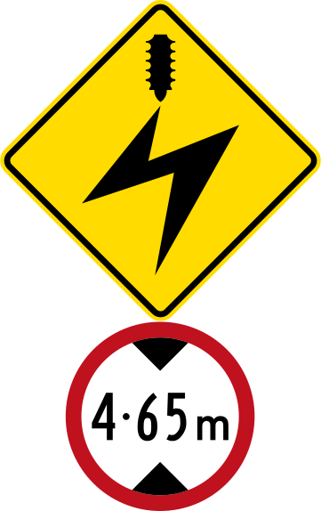 Rg 21a overhead power heightCode PW-47 / RG-21aOverhead electric cables ahead combined with a maximum height restriction of 4.65 m; vehicles exceeding this height must not proceed.
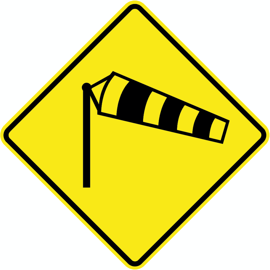 CrosswindCode PW-48Strong crosswinds ahead — windsock symbol.
 Narrow variantCode PW-5Works zone warning sign showing two downward-pointing arrows that split apart, indicating a lane narrowing or merge ahead (narrow variant).
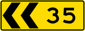 Chevrons leftCode PW-66Works zone chevron board with 2 chevrons pointing left, used to indicate a curve or deviation to the left through road works.
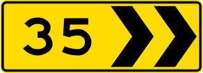 Chevrons rightCode PW-66Works zone chevron board with 2 chevrons pointing right, used to indicate a curve or deviation to the right through road works.
 Chevrons leftCode PW-66Works zone chevron board with 4 chevrons pointing left, used to indicate a sharper or longer curve or deviation to the left through road works.
 Chevrons rightCode PW-66Works zone chevron board with 4 chevrons pointing right, used to indicate a sharper or longer curve or deviation to the right through road works.
 Multi chevronCode PW-66.8Multiple chevron alignment marker indicating a sharp change in road direction.
 Roundabout aheadCode PW-8Roundabout ahead.
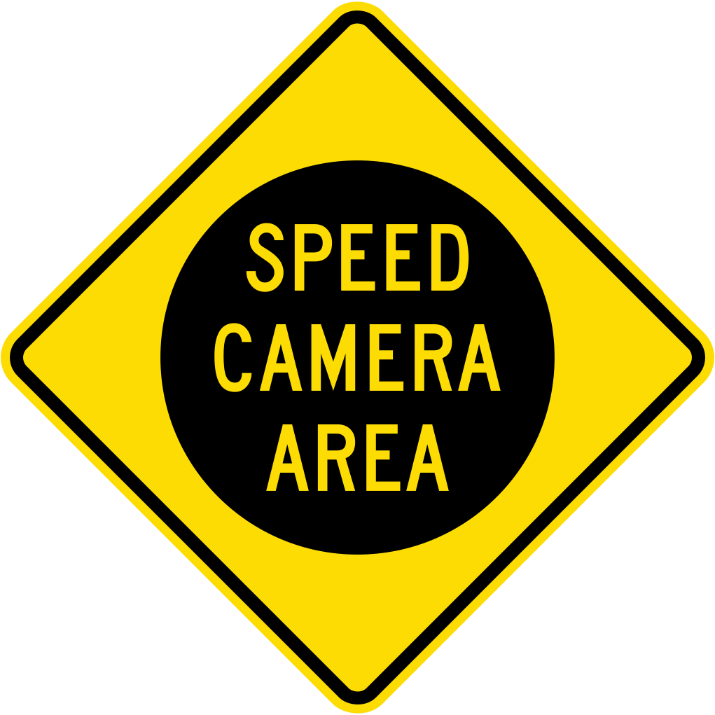 Pw speed camera areaWarning sign indicating a speed camera enforcement area ahead.
 L chevron leftCode PW67-LSingle chevron alignment marker indicating a sharp bend to the left.
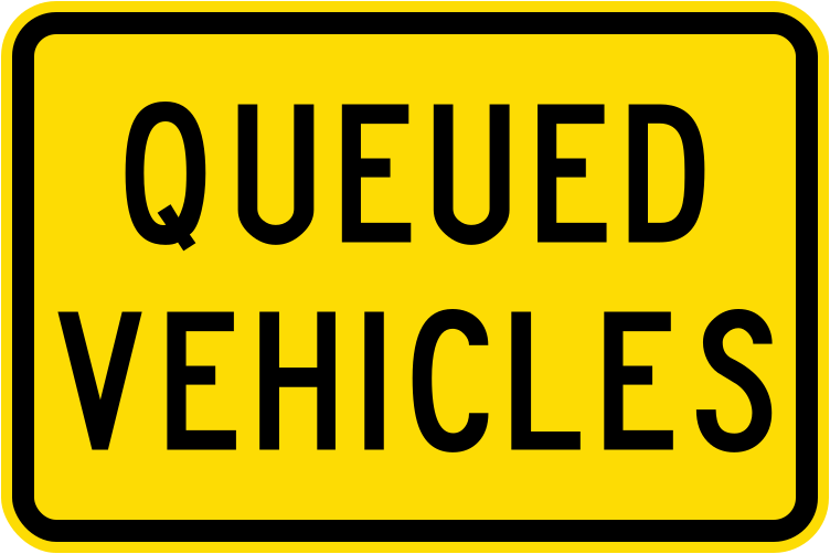 Queued vehiclesCode W10-5.3Warning of queued vehicles stopped ahead on the road (current version).
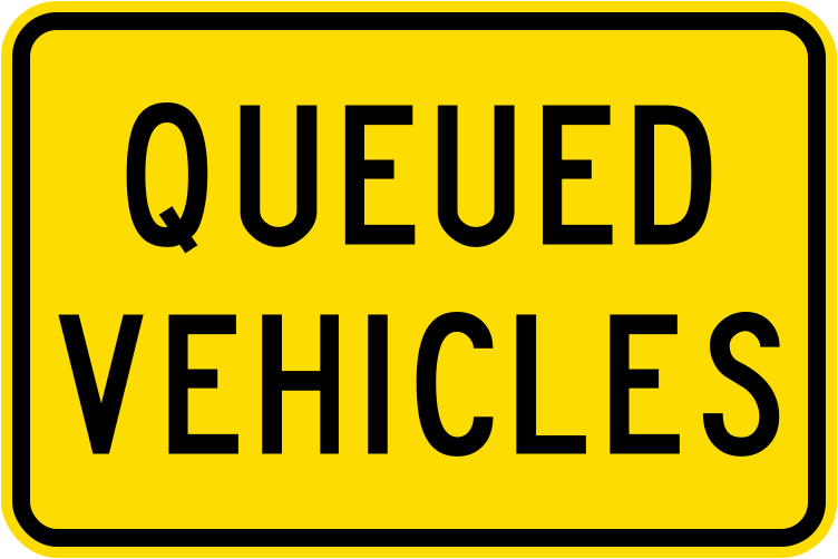 Queued vehicles 1987Code W10-5.3Warning of queued vehicles stopped ahead on the road (1987–2016 version).
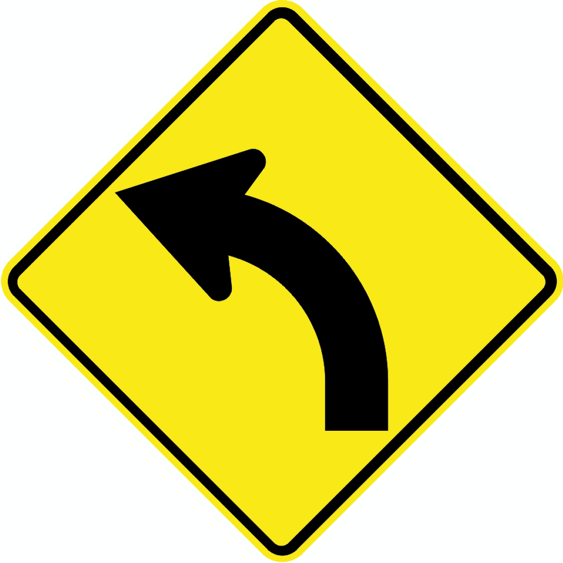 Reverse curve left warningCode PW-17LWarning of a reverse curve, first curving to the left.
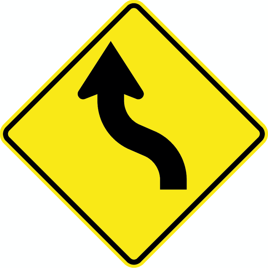 Sharp curve left warningCode PW-20LWarning of a sharp curve to the left ahead.
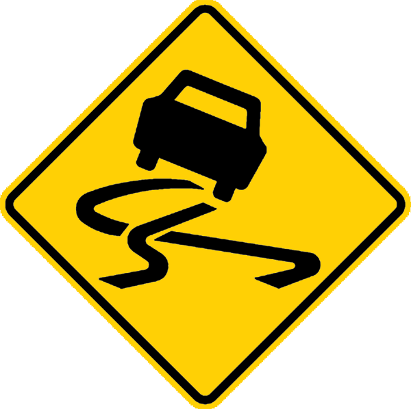 Slippery road warningCode W4-2Slippery road surface ahead — warns drivers the road may be slippery and they risk losing vehicle control.
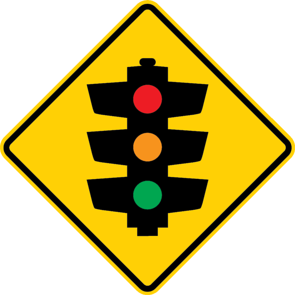 Traffic lights ahead warningCode W8-1Traffic signals ahead — warns drivers that traffic lights are present at the upcoming intersection.
 Traffic lights ahead warningCode W8-1Traffic signals ahead — warns drivers that traffic lights are present at the upcoming intersection (vector version).
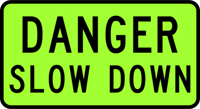 Vehicle mounted danger slow downVehicle-mounted sign warning other road users of danger ahead and instructing them to slow down, used on oversize load escorts.
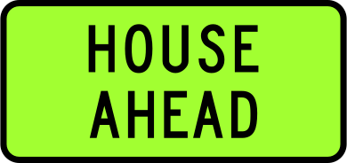 Vehicle mounted house aheadVehicle-mounted sign indicating a house (building) is being transported ahead on this route; warns other road users of an oversize load.
 Vehicle mounted house followsVehicle-mounted sign indicating a house (building) is being transported immediately behind this vehicle; warns other road users of a following oversize load.
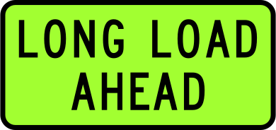 Vehicle mounted long load aheadVehicle-mounted sign indicating an oversize long load is travelling ahead on this route.
 Vehicle mounted long load followsVehicle-mounted sign indicating an oversize long load is travelling immediately behind this vehicle.
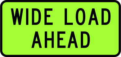 Vehicle mounted wide load aheadVehicle-mounted sign indicating an oversize wide load is travelling ahead on this route.
 Vehicle mounted wide load followsVehicle-mounted sign indicating an oversize wide load is travelling immediately behind this vehicle.
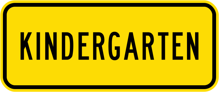 Nz w16 5 2 1987 2016Code W16-5.2Supplementary panel indicating a kindergarten ahead, 1987–2016 version in standard yellow.
 Fyg 2001 2016Code W16-5.2Supplementary panel indicating a kindergarten ahead, 2001–2016 version in fluorescent yellow-green.
 Fyg fluorescentCode W16-5.2Supplementary panel indicating a kindergarten ahead, displayed in fluorescent yellow-green (current standard).
 YellowCode W16-5.2Supplementary panel indicating a kindergarten ahead, in standard yellow (current standard).
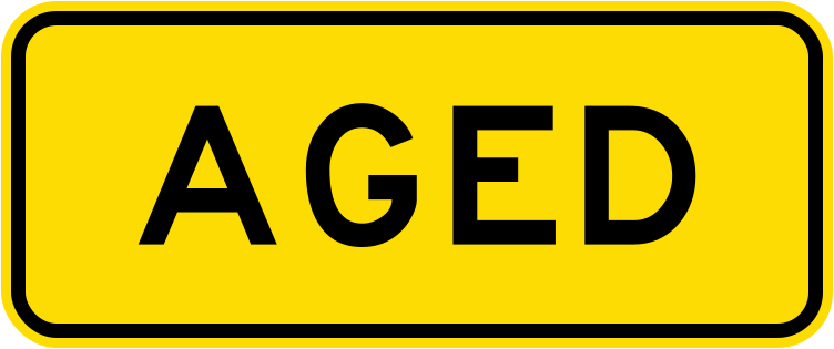 Nz w16 5 3 1987 2016Code W16-5.3Supplementary panel indicating an aged care facility ahead, 1987–2016 version in standard yellow.
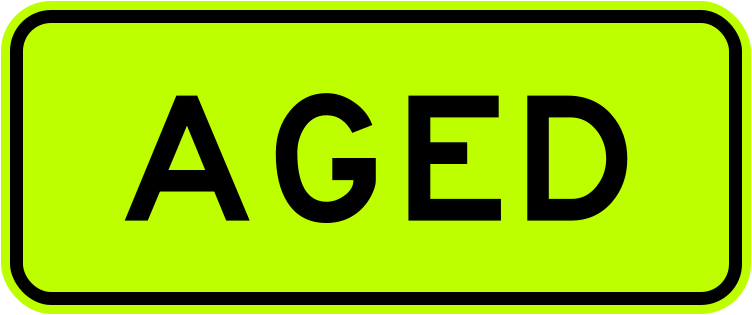 Fyg 2001 2016Code W16-5.3Supplementary panel indicating an aged care facility ahead, 2001–2016 version in fluorescent yellow-green.
 Fyg fluorescentCode W16-5.3Supplementary panel indicating an aged care facility ahead, displayed in fluorescent yellow-green (current standard).
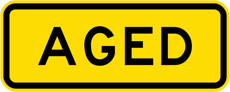 YellowCode W16-5.3Supplementary panel indicating an aged care facility ahead, in standard yellow (current standard).
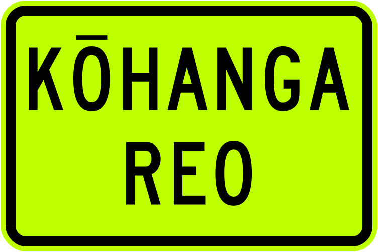 Fyg fluorescentCode W16-5.4Supplementary panel indicating a Kohanga Reo (Maori language nest/early childhood centre) ahead, in fluorescent yellow-green.
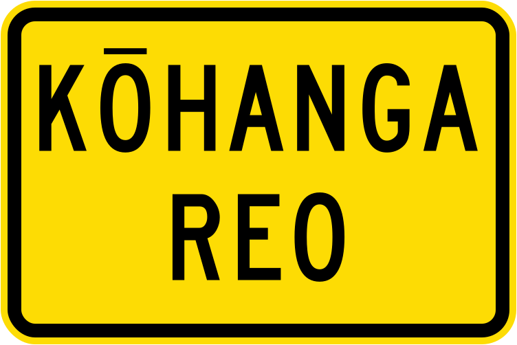 YellowCode W16-5.4Supplementary panel indicating a Kohanga Reo (Maori language nest/early childhood centre) ahead, in standard yellow.
 Nz w16 6 1 1987 2016Code W16-6.1Supplementary panel indicating a school bus route ahead, 1987–2016 version in standard yellow.
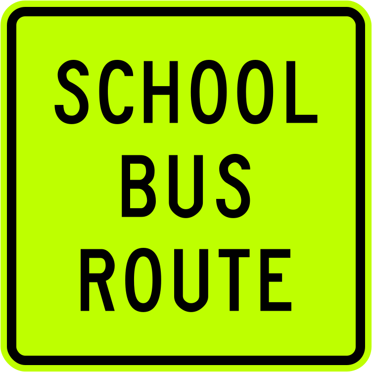 Fyg 2001 2016Code W16-6.1Supplementary panel indicating a school bus route ahead, 2001–2016 version in fluorescent yellow-green.
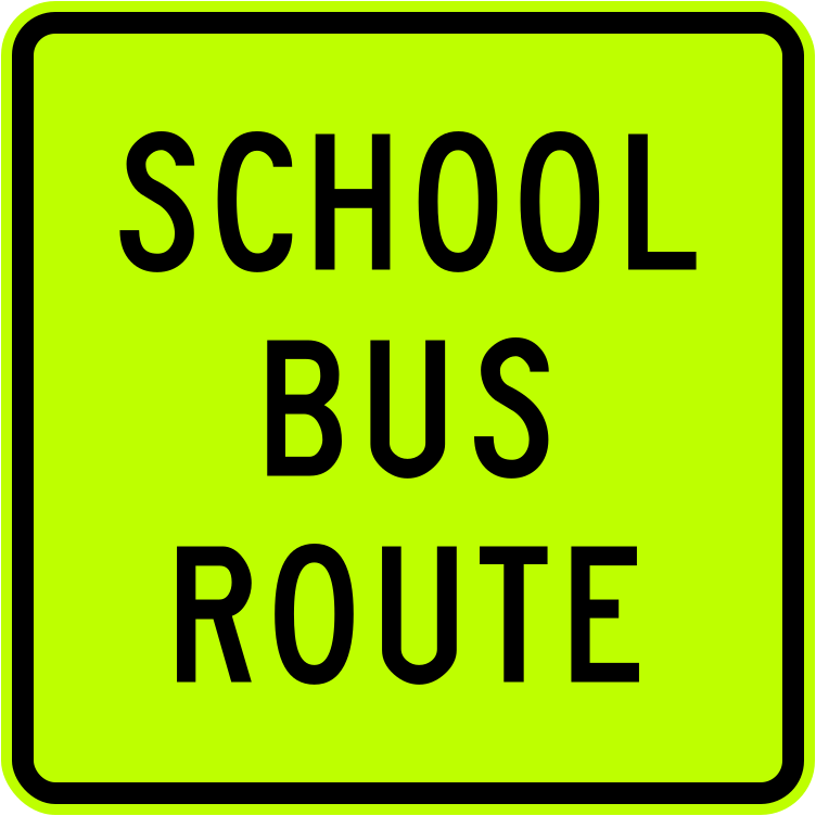 Fyg fluorescentCode W16-6.1Supplementary panel indicating a school bus route ahead, in fluorescent yellow-green (current standard).
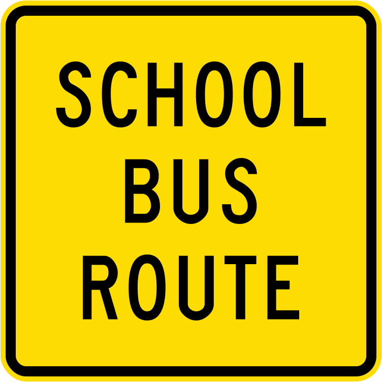 YellowCode W16-6.1Supplementary panel indicating a school bus route ahead, in standard yellow (current standard).
 Nz w16 6 2 1987 2016Code W16-6.2Supplementary panel indicating a school bus turns ahead, 1987–2016 version in standard yellow.
 Fyg 2001 2016Code W16-6.2Supplementary panel indicating a school bus turns ahead, 2001–2016 version in fluorescent yellow-green.
 Fyg fluorescentCode W16-6.2Supplementary panel indicating a school bus turns ahead, in fluorescent yellow-green (current standard).
 YellowCode W16-6.2Supplementary panel indicating a school bus turns ahead, in standard yellow (current standard).
 FygCode W16-7.2Supplementary panel reading MERGING, used with merging traffic warning signs, in fluorescent yellow-green.
 YellowCode W16-7.2Supplementary panel reading MERGING, used with merging traffic warning signs, in standard yellow.
 FygCode W16-7.3Supplementary panel reading CROSSING, used with pedestrian or railway crossing warning signs, in fluorescent yellow-green.
 YellowCode W16-7.3Supplementary panel reading CROSSING, used with pedestrian or railway crossing warning signs, in standard yellow.
 LCode W20-2.1-LDelineator post marker with a white left-pointing chevron on a black background, used to guide traffic around hazards to the left.
 RCode W20-2.1-RDelineator post marker with a white right-pointing chevron on a black background, used to guide traffic around hazards to the right.
 LCode W20-2-LChevron alignment marker indicating a curve to the left, mounted on a yellow square board.
 L obsoleteCode W20-2-LObsolete version of the chevron alignment marker indicating a curve to the left.
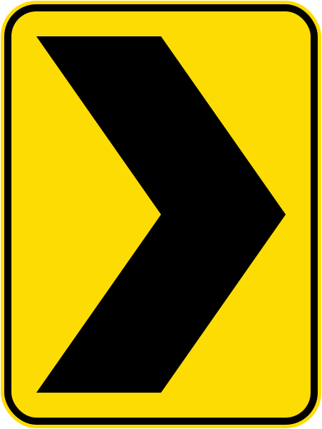 RCode W20-2-RChevron alignment marker indicating a curve to the right, mounted on a yellow square board.
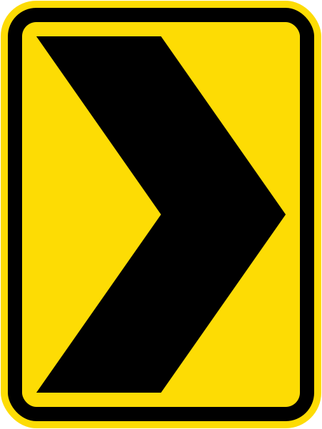 R obsoleteCode W20-2-RObsolete version of the chevron alignment marker indicating a curve to the right.
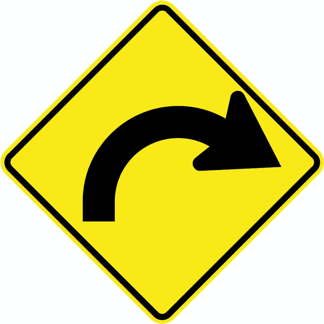 Winding road right warningCode PW-18RWarning of a winding road with bends starting to the right.
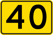 Advisory speed 40Code Pw13-07-040Advisory speed sign recommending a maximum speed of 40 km/h for the curve or hazard ahead.
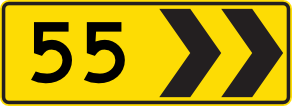 Curve speed rightCode Pw14-01-03-55RCurve advisory speed sign with right-pointing chevrons indicating a recommended speed of 55 km/h for the curve ahead.
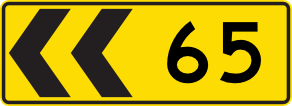 Curve speed leftCode Pw14-01-03-65LCurve advisory speed sign with left-pointing chevrons indicating a recommended speed of 65 km/h for the curve ahead.
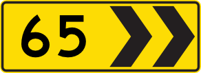 Curve speed rightCode Pw14-01-03-65RCurve advisory speed sign with right-pointing chevrons indicating a recommended speed of 65 km/h for the curve ahead.
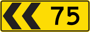 Curve speed leftCode Pw14-01-03-75Curve advisory speed sign with left-pointing chevrons indicating a recommended speed of 75 km/h for the curve ahead.
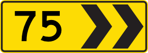 Curve speed rightCode Pw14-01-03-75RCurve advisory speed sign with right-pointing chevrons indicating a recommended speed of 75 km/h for the curve ahead.
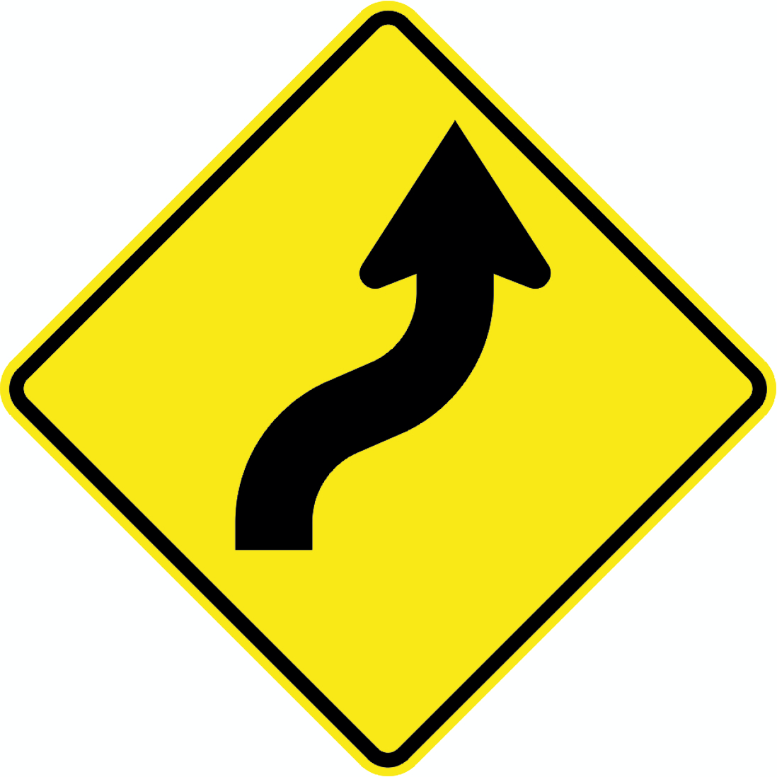 Winding road rightCode PW-20RWarning of a winding road with the first bend curving to the right ahead.
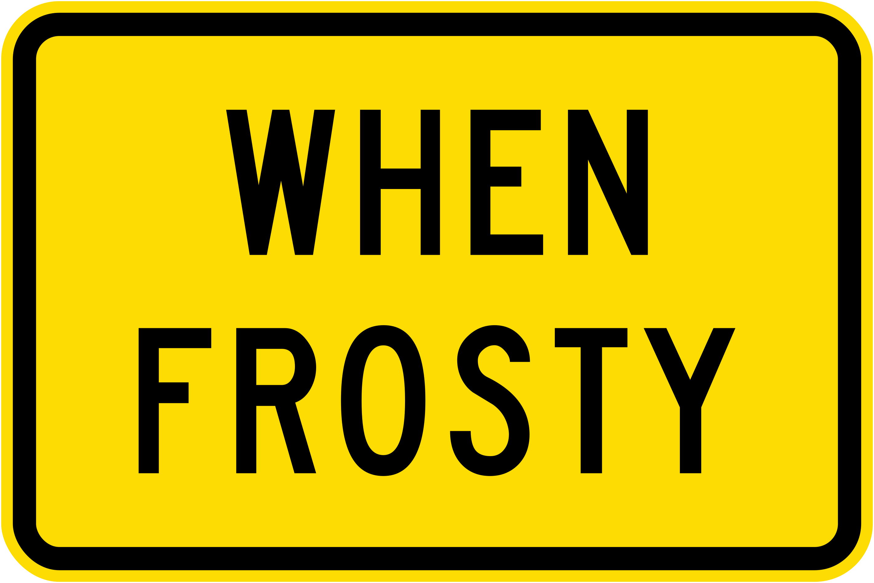 When frostyCode W14-7.1Supplementary panel indicating that the associated warning condition applies when the road surface is frosty.
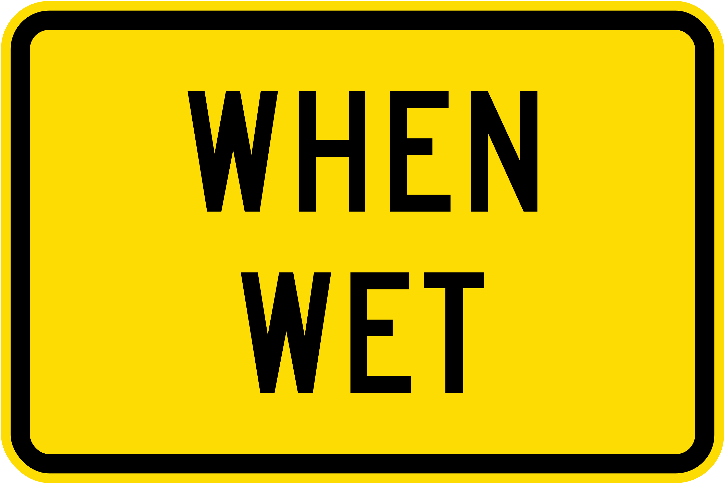 When wetCode W14-7.2Supplementary panel indicating that the associated warning condition applies when the road surface is wet.
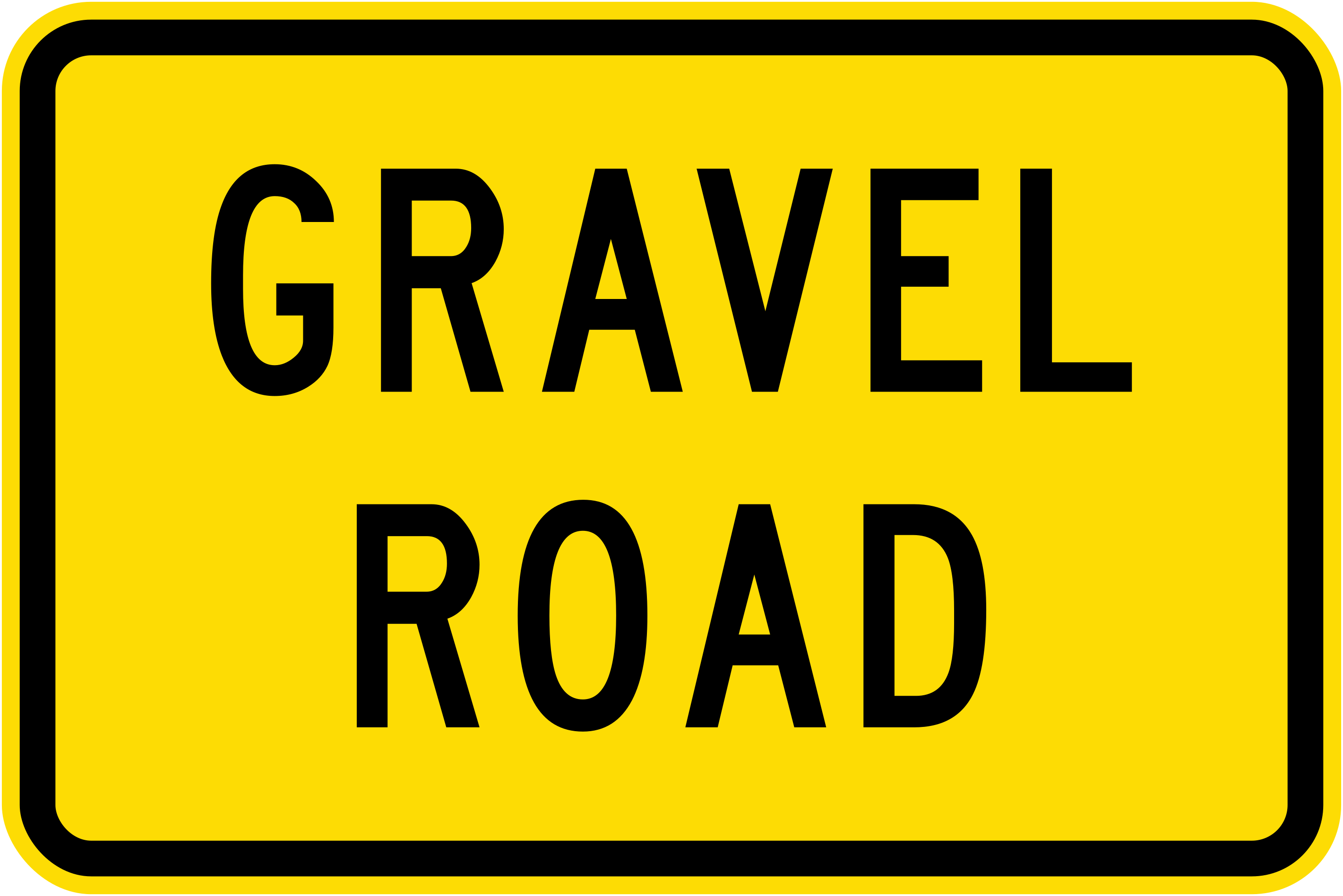 Gravel roadCode W14-7.3Supplementary panel indicating that the road ahead has a gravel surface.
 Chevron array leftCode W20-1.1Delineator chevron array indicating a sharp curve or deviation to the left, using reflective white chevrons on black.
 Chevron array centreCode W20-1.2ADelineator chevron array indicating a central obstacle or lane split, with chevrons pointing both left and right from a central diamond.
 Chevron array wideCode W20-1.2BWide delineator chevron array indicating a central obstacle with chevrons diverging left and right around a diamond centre.
 Chevron curve leftCode W20-1.3Curve delineator showing multiple left-pointing chevrons on a yellow background to guide drivers around a left curve.
 Chevron curve right diamondCode W20-1.4Curve delineator with right-pointing chevrons and a central diamond on yellow, guiding drivers around a right curve.
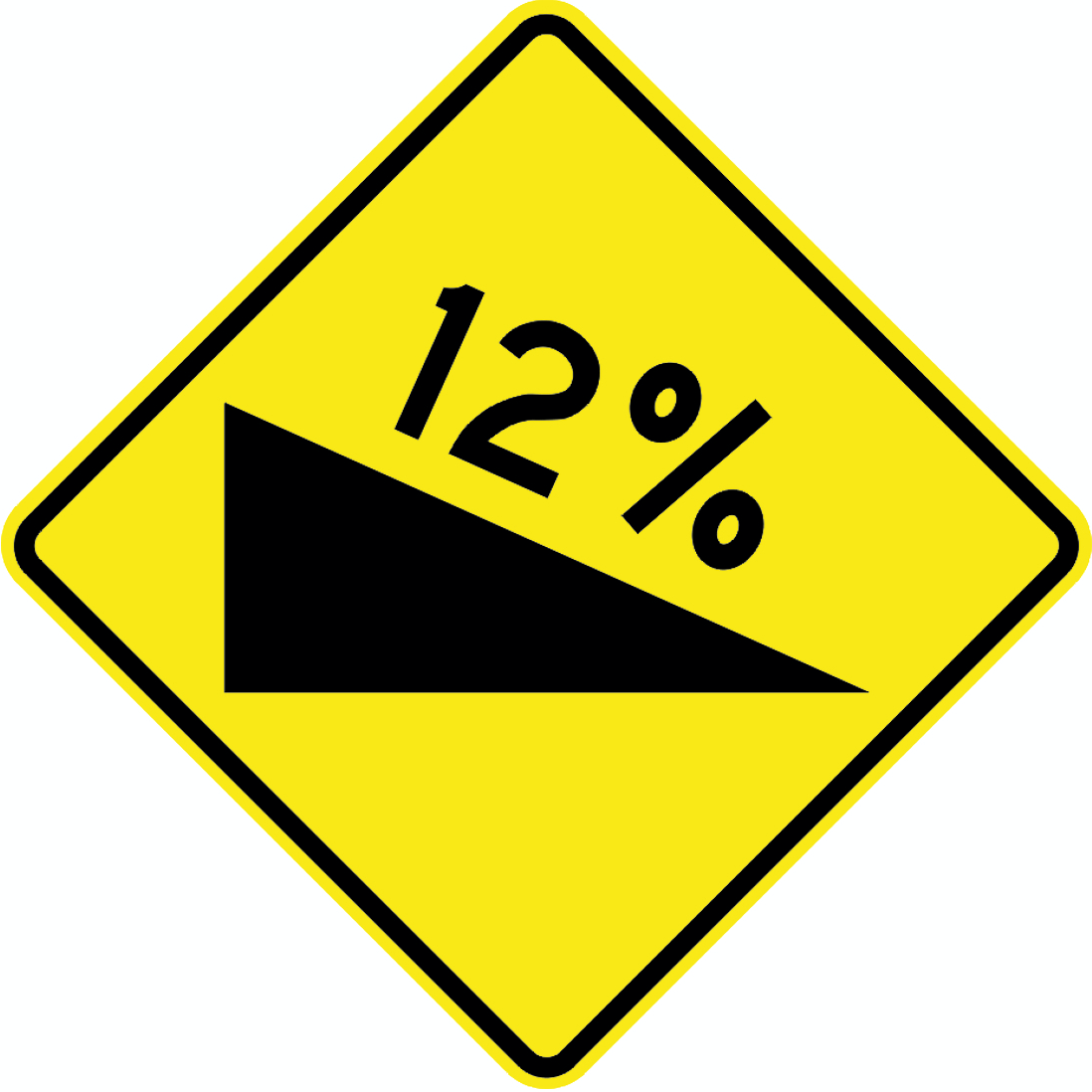 Steep descent 12Code W5-39Warning of a steep downhill gradient of 12% ahead.
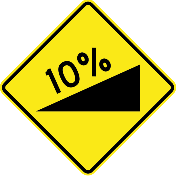 Steep ascent 10Code W5-40Warning of a steep uphill gradient of 10% ahead.
 HorseCode WF21Warning that horses may be present or crossing the road ahead.
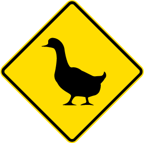 DucksCode WF34Warning that ducks or waterfowl may be crossing or present on the road ahead.
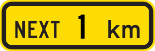 Next 1kmCode WG4Supplementary panel indicating the hazard or condition applies for the next 1 kilometre.
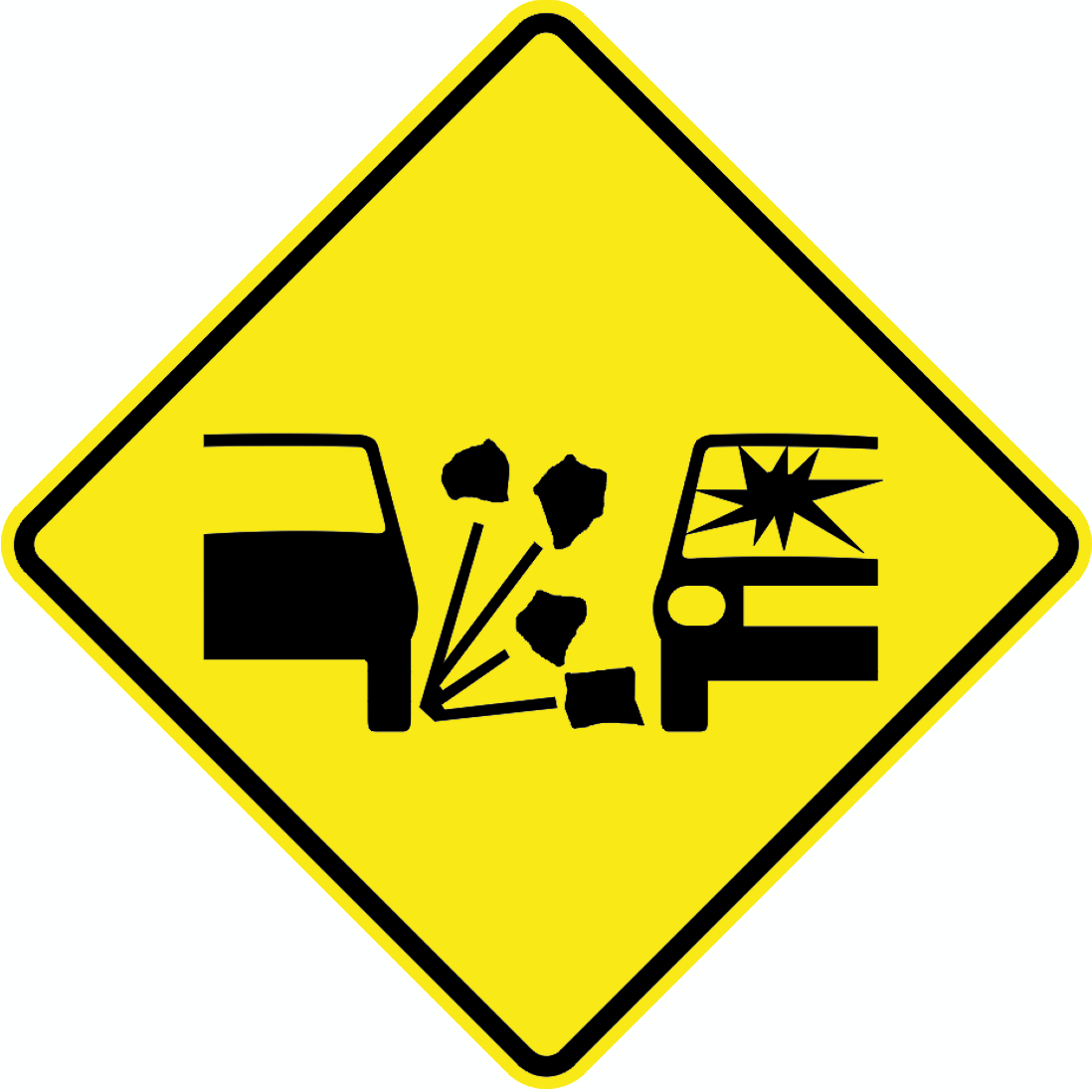 Loose stonesCode WR4Warning of loose stones or chipseal material on the road surface that may cause damage to vehicles.
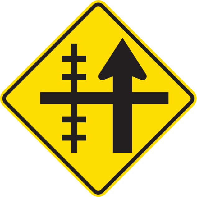
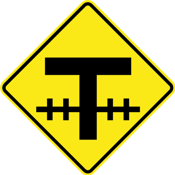 T intersection railwayCode WXB2Warning of a T-intersection ahead with a railway level crossing on the cross road.
Priority signs
6 signs Give wayCode R2-7.1Drivers must give way to traffic on the intersecting road (current version).
 Give way 1989Code R2-7.1Drivers must give way to traffic on the intersecting road (1989–2008 version).
 Give way 2008Code R2-7.1Drivers must give way to traffic on the intersecting road (2008–2016 version).
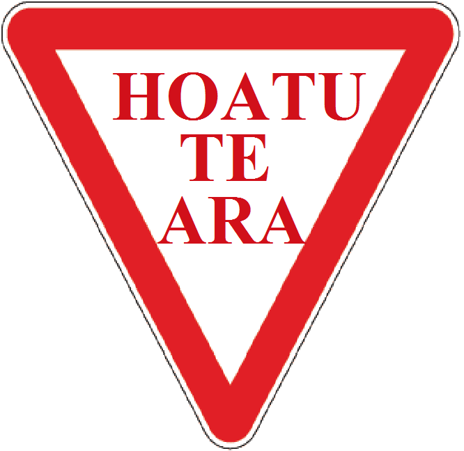 Give way maoriCode R1-2Give way sign in te reo Maori (HOATU TE ARA) — requires drivers to yield to all other traffic.
 Stop maori mutuStop sign in te reo Maori reading 'MUTU', requiring drivers to stop and give way to all traffic on the intersecting road.
 Stop maori mutu whiteStop sign in te reo Maori reading 'MUTU' on a white background variant, requiring drivers to stop and give way.
Prohibition signs
82 signs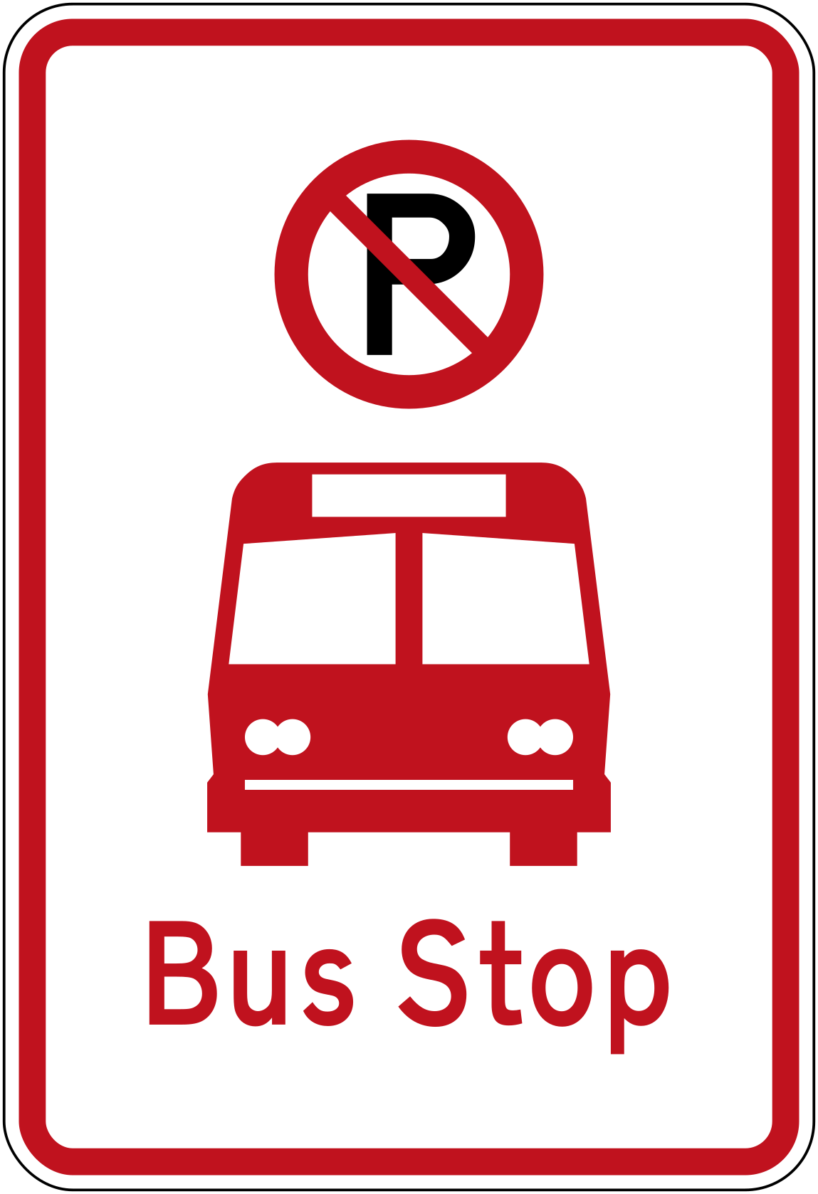 No parking bus stopCode R6-71No parking — this is a bus stop.
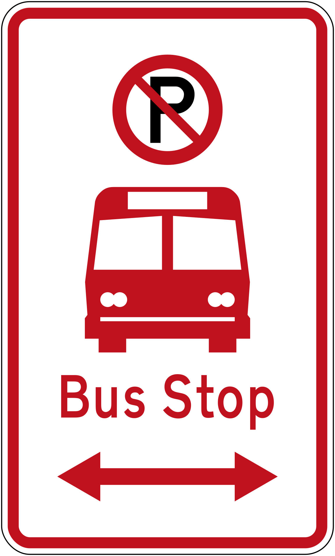 No parking bus stop bothCode R6-71.1LRNo parking — bus stop, restriction extends in both directions.
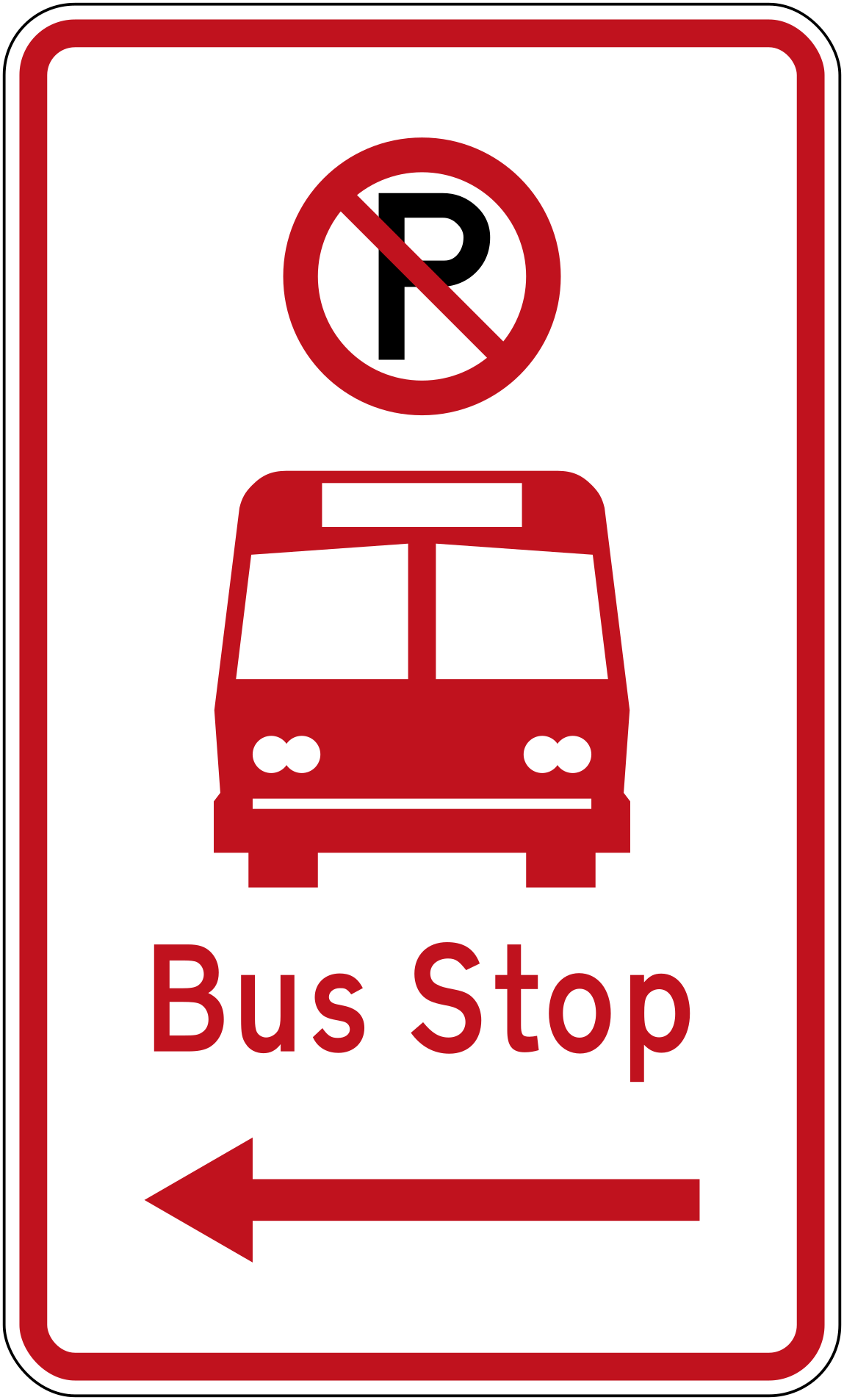 No parking bus stop leftCode R6-71.1LNo parking — bus stop, restriction extends to the left.
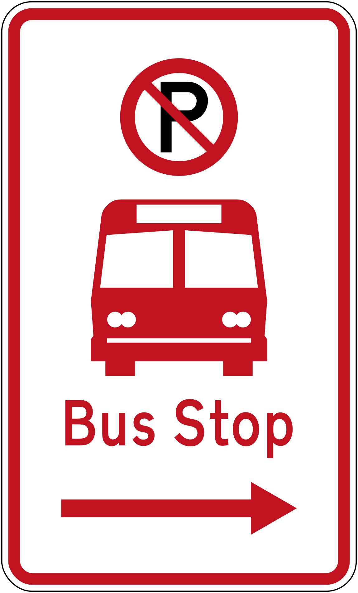 No parking bus stop rightCode R6-71.1RNo parking — bus stop, restriction extends to the right.
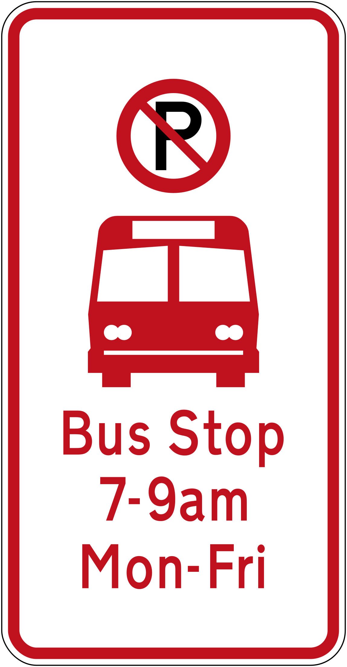 No parking bus stop timed baseCode R6-71BNo parking — bus stop with 7–9am Monday to Friday time restriction (base plate variant).
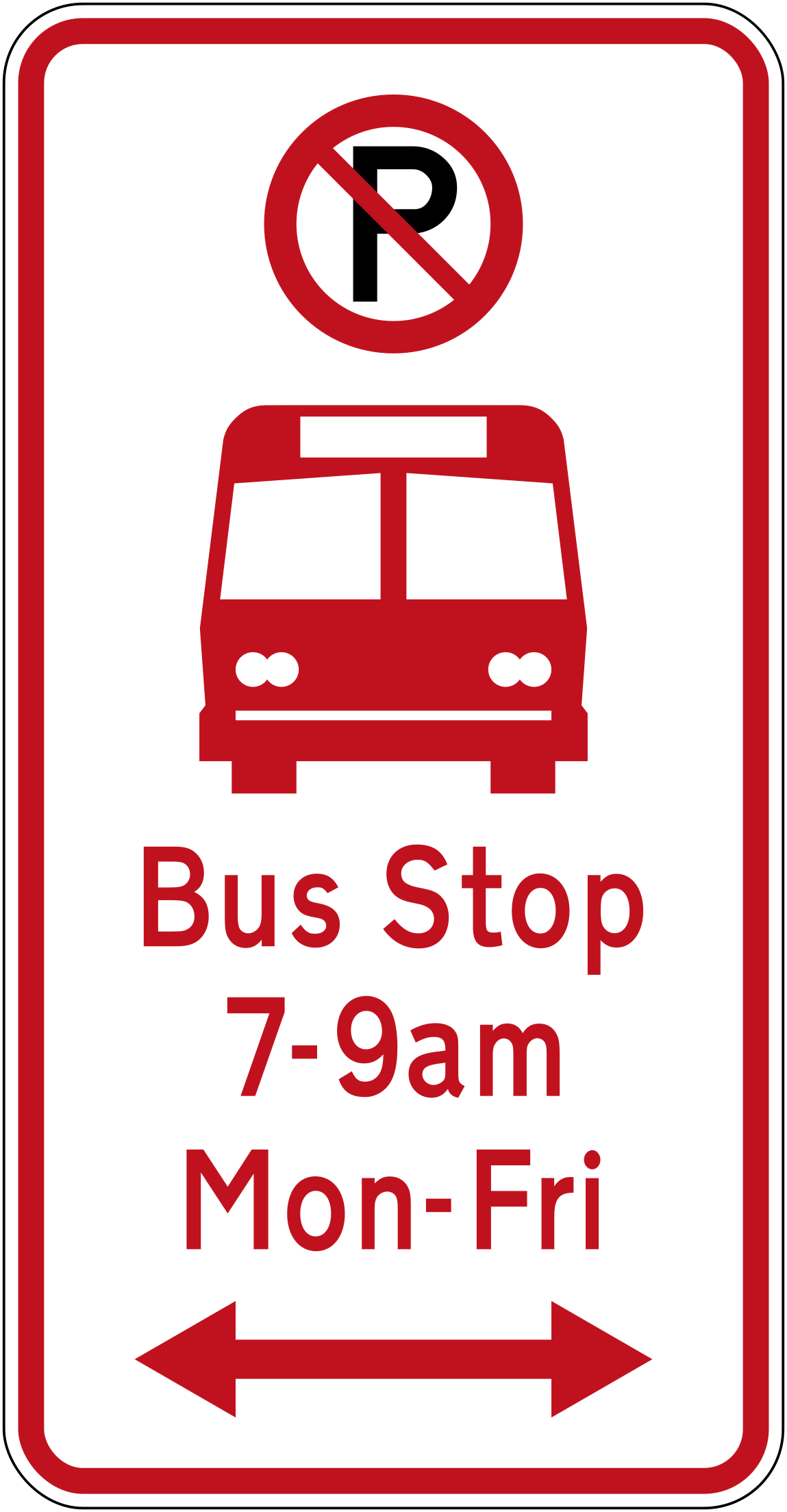 No parking bus stop timed bothCode R6-71.1BLRNo parking — bus stop operating 7–9am Monday to Friday, restriction extends in both directions.
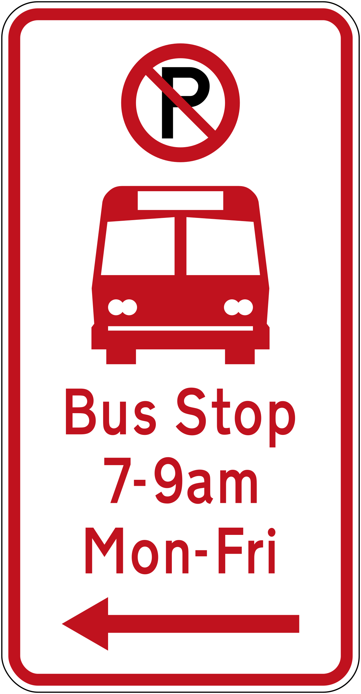 No parking bus stop timed leftCode R6-71.1BLNo parking — bus stop operating 7–9am Monday to Friday, restriction extends to the left.
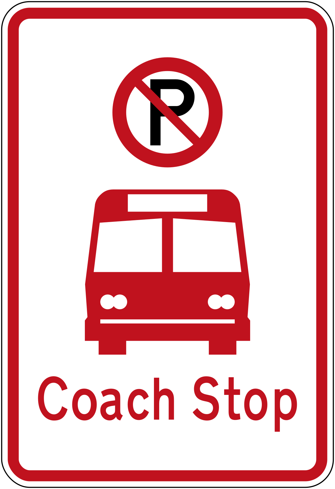 No parking bus stop timed noarrowCode R6-71.2No parking — bus stop with 7–9am Monday to Friday time restriction, no directional extent shown.
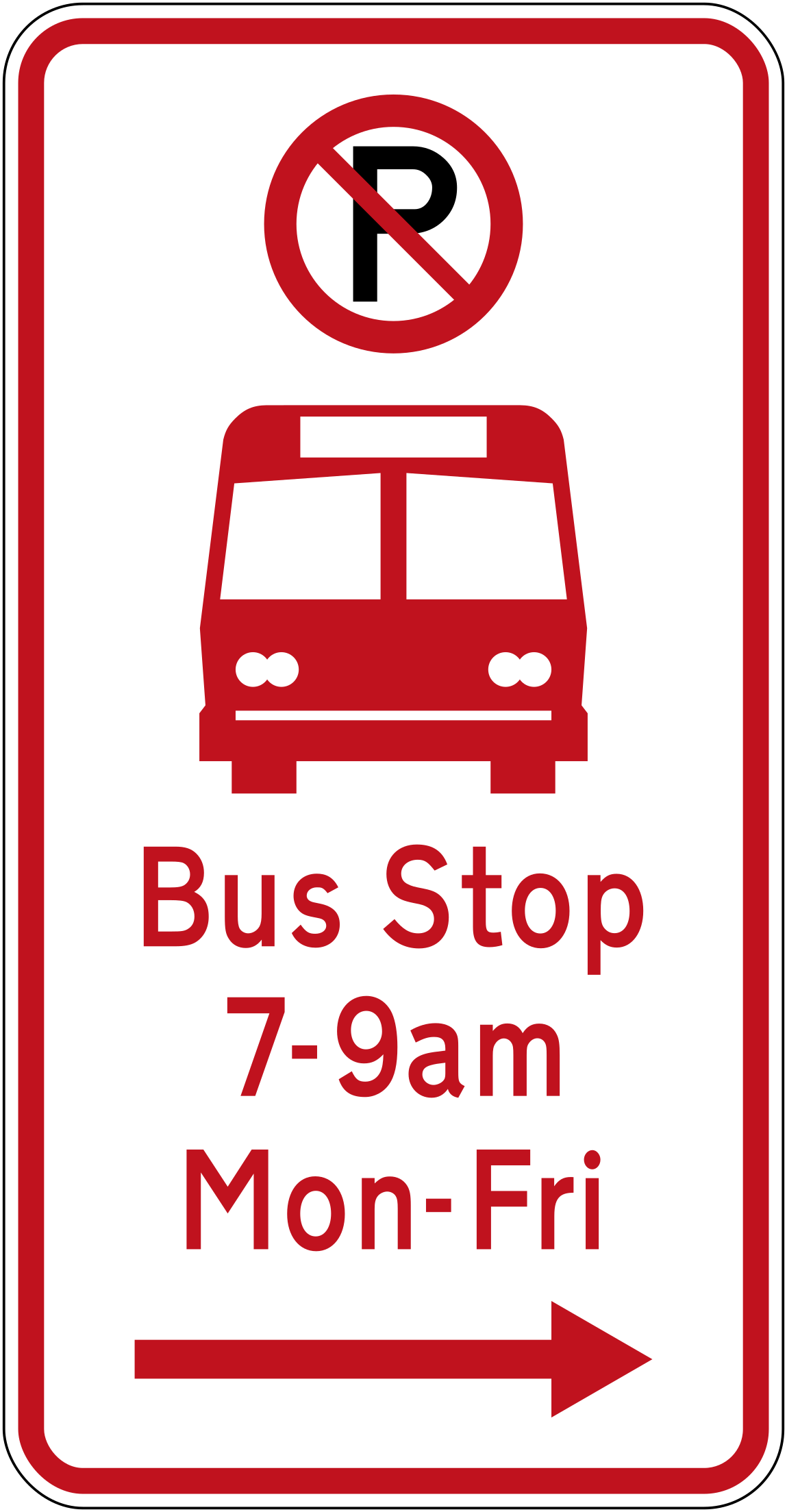 No parking bus stop timed rightCode R6-71.1BRNo parking — bus stop operating 7–9am Monday to Friday, restriction extends to the right.
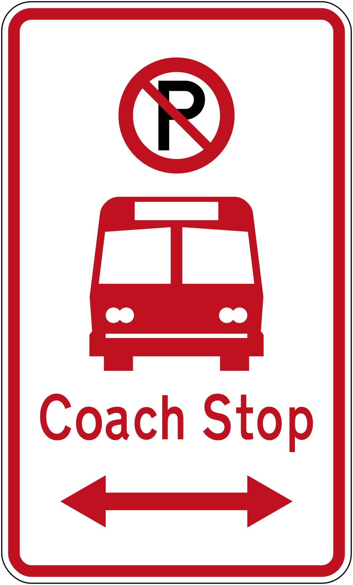 No parking bus stop timed2 bothCode R6-71.2LRNo parking — bus stop with time restriction, extends in both directions.
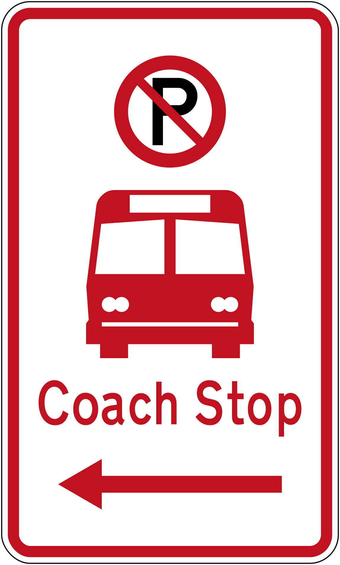 No parking bus stop timed2 leftCode R6-71.2LNo parking — bus stop with time restriction, extends to the left.
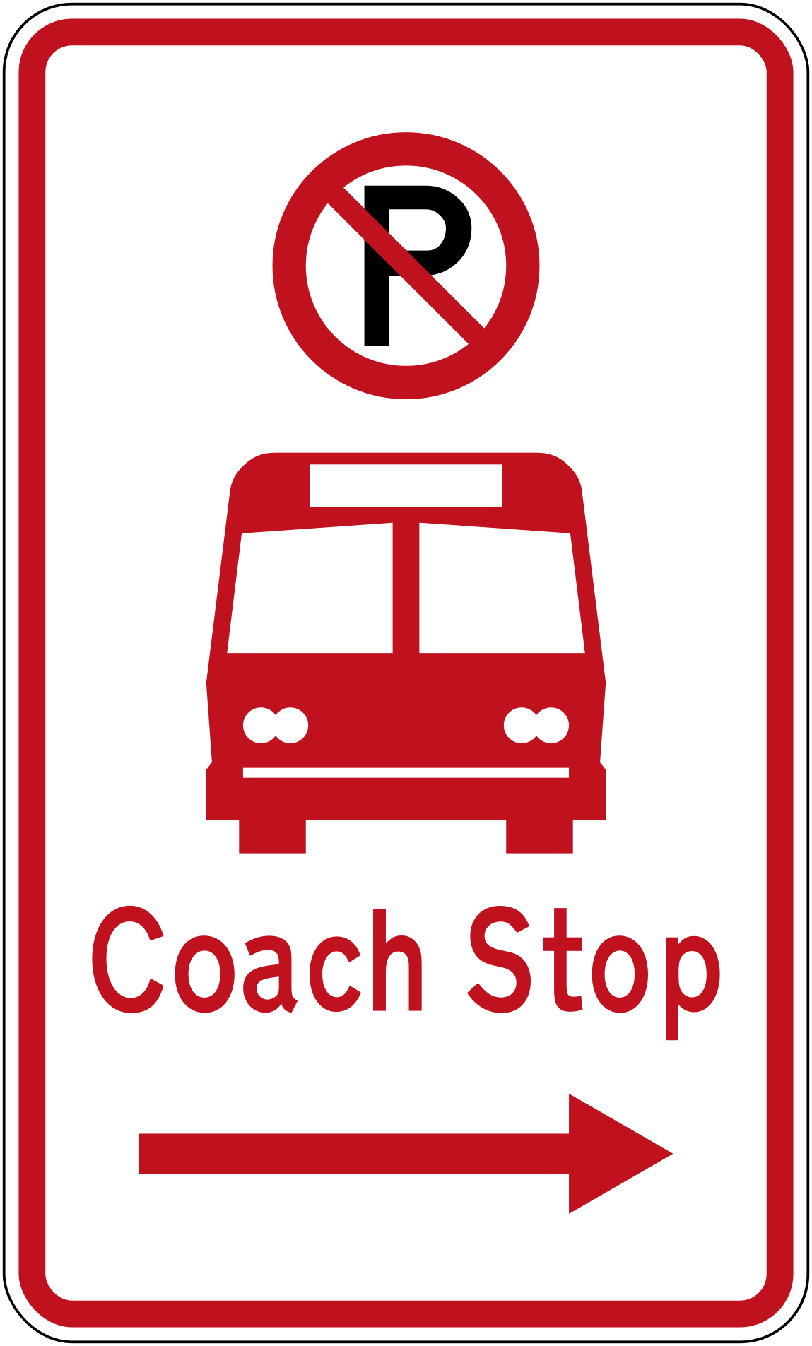 No parking bus stop timed2 rightCode R6-71.2RNo parking — bus stop with time restriction, extends to the right.
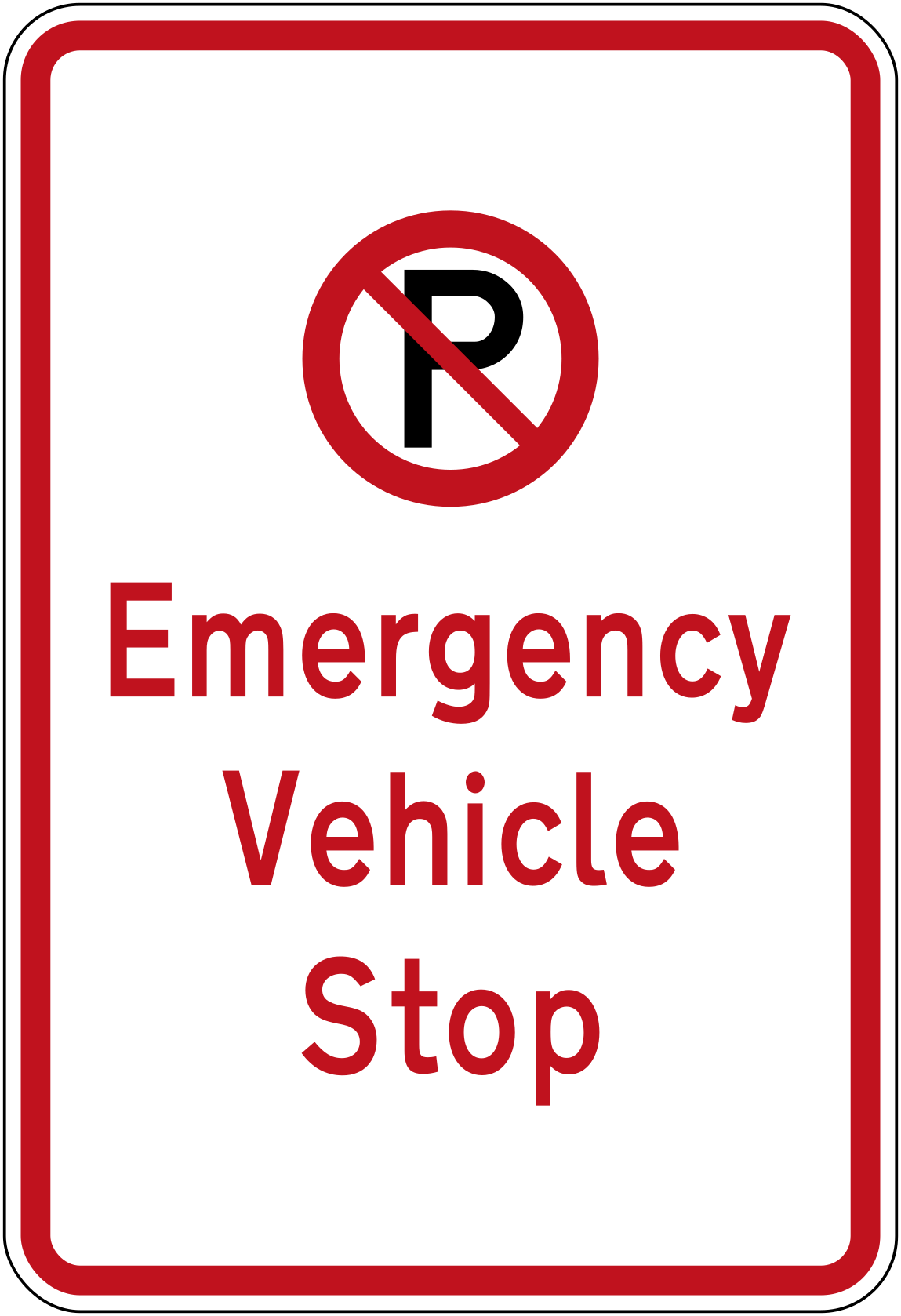 No parking emergency vehicle stopCode R6-79No parking — this is an emergency vehicle stop.
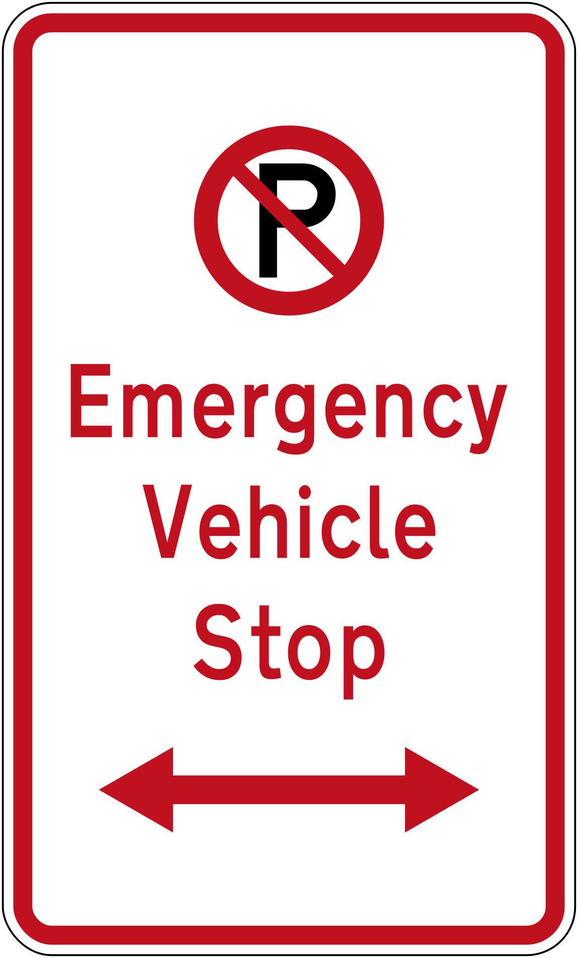 No parking emergency vehicle stop bothCode R6-79.1LRNo parking — emergency vehicle stop, restriction extends in both directions.
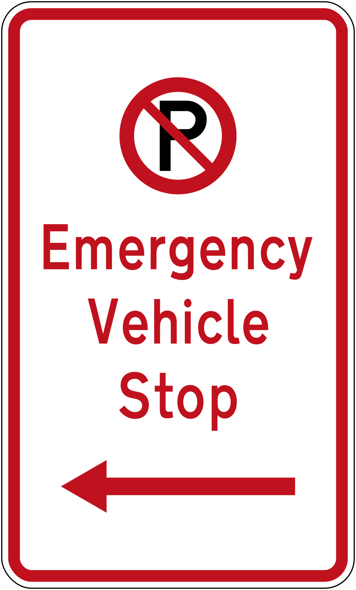 No parking emergency vehicle stop leftCode R6-79.1LNo parking — emergency vehicle stop, restriction extends to the left.
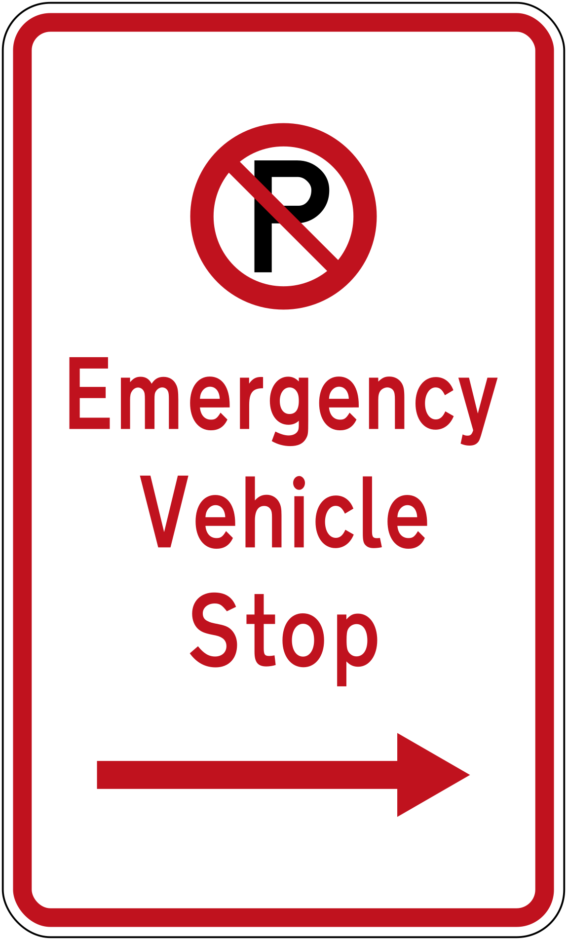 No parking emergency vehicle stop rightCode R6-79.1RNo parking — emergency vehicle stop, restriction extends to the right.
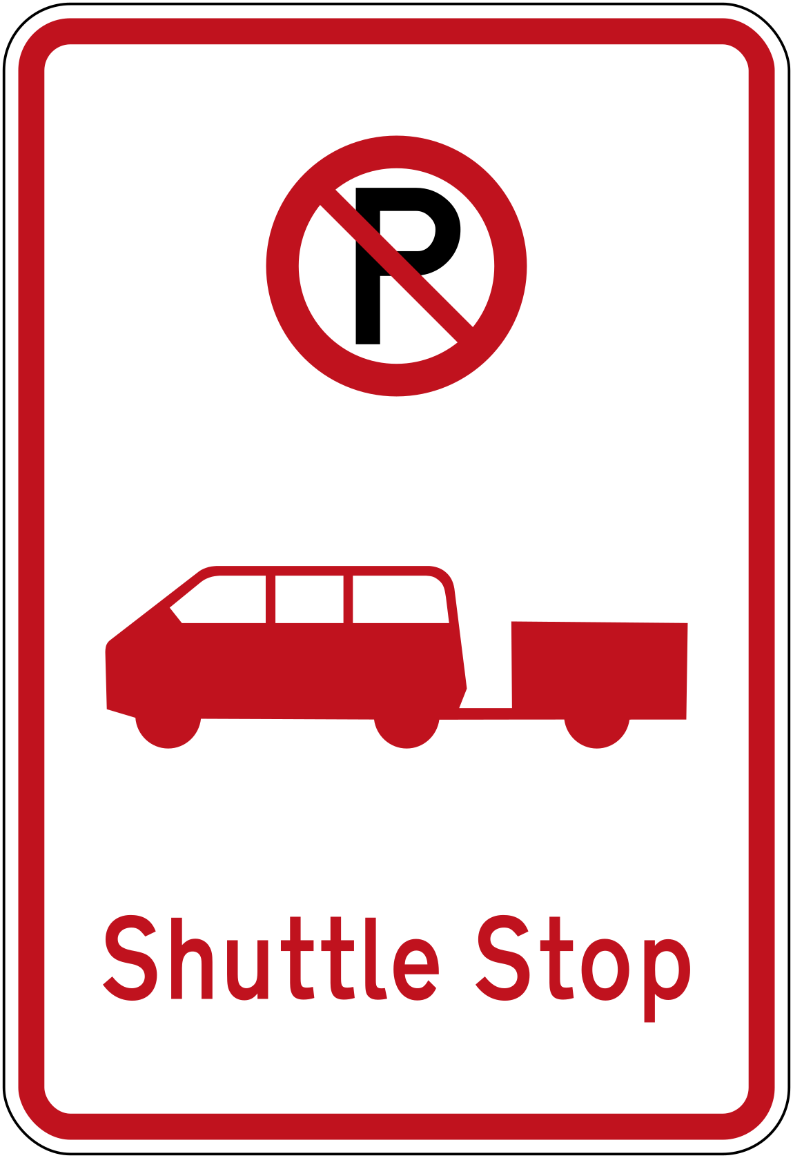 No parking shuttle stopCode R6-73No parking — this is a shuttle stop.
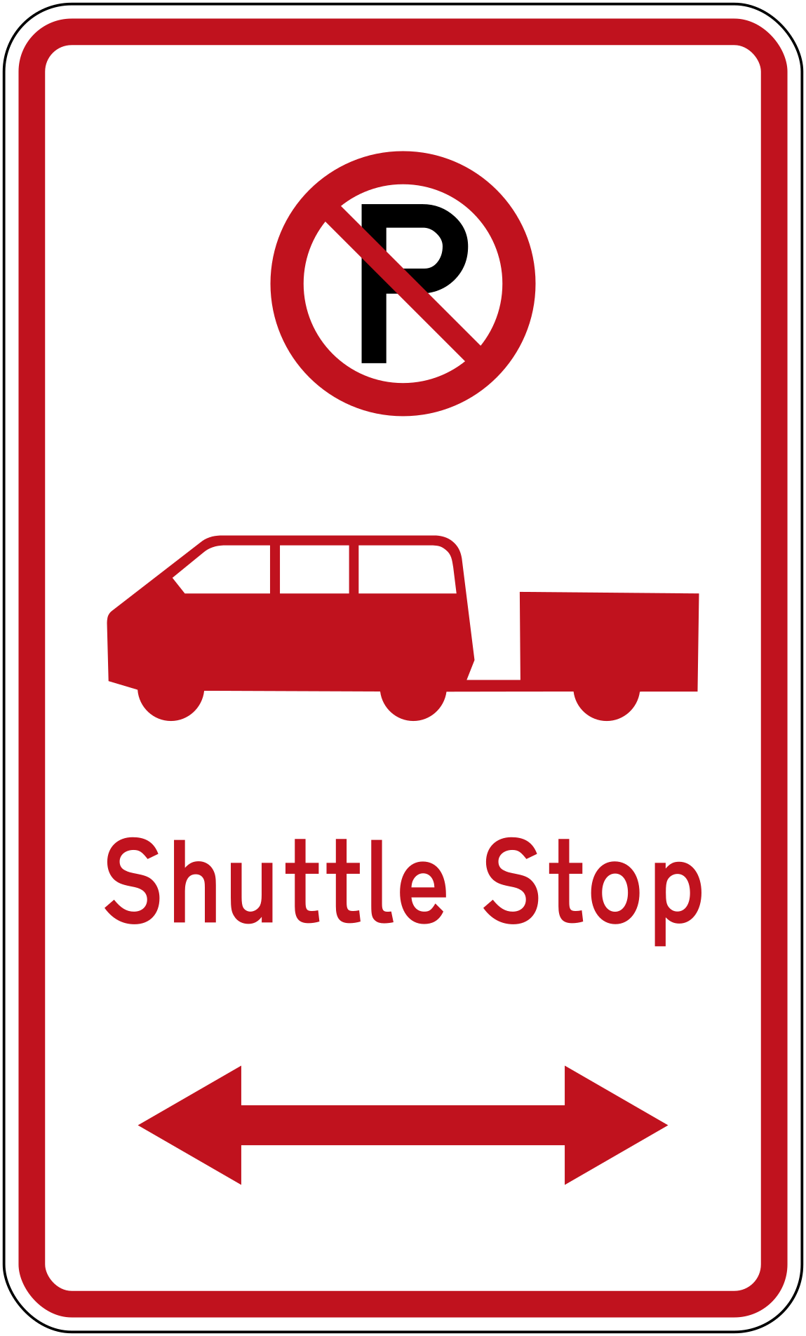 No parking shuttle stop bothCode R6-73.1LRNo parking — shuttle stop, restriction extends in both directions.
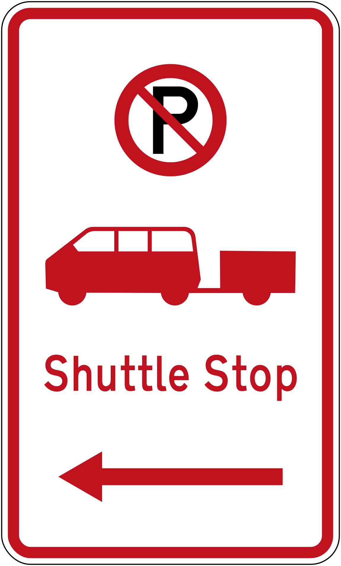 No parking shuttle stop leftCode R6-73.1LNo parking — shuttle stop, restriction extends to the left.
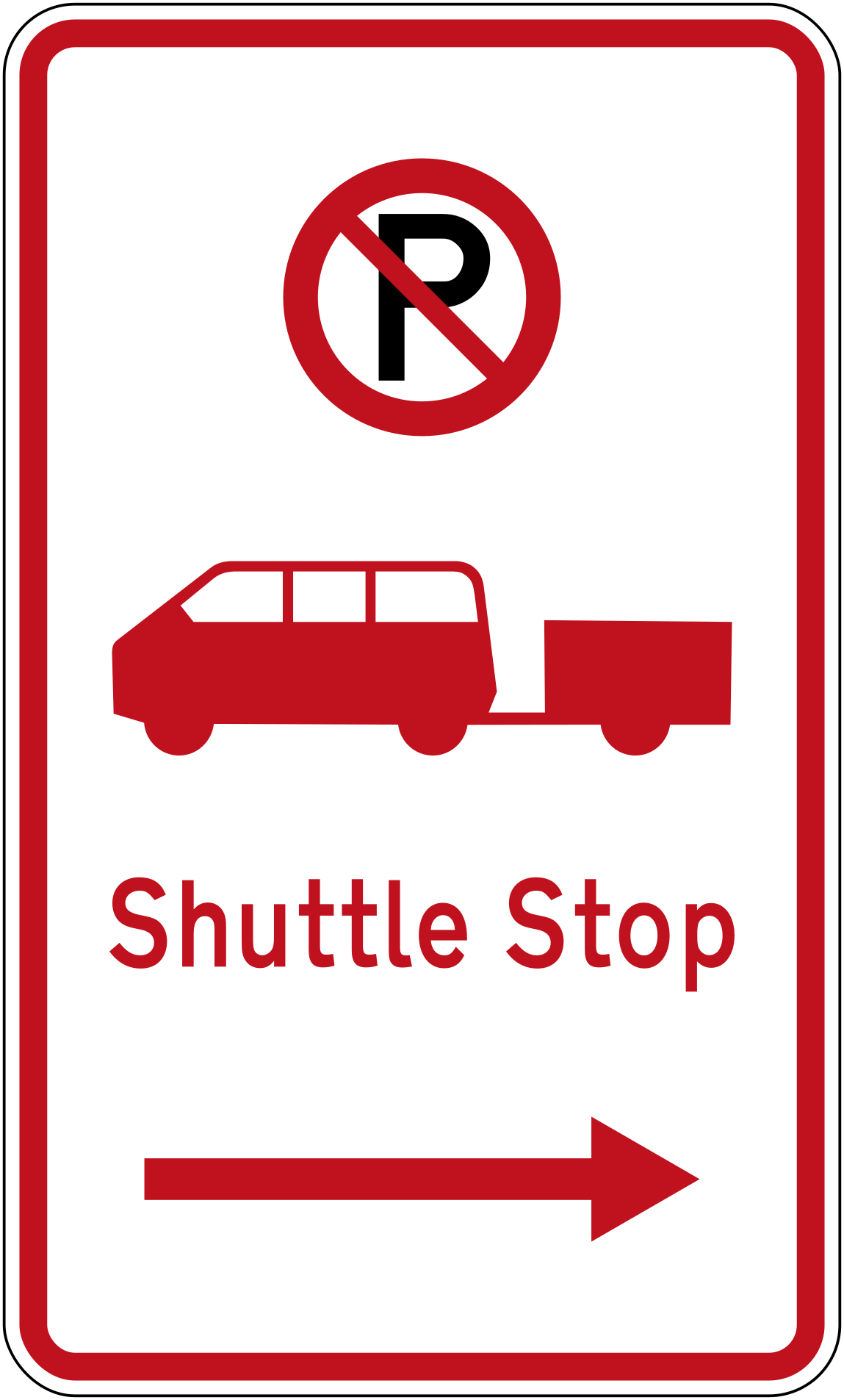 No parking shuttle stop rightCode R6-73.1RNo parking — shuttle stop, restriction extends to the right.
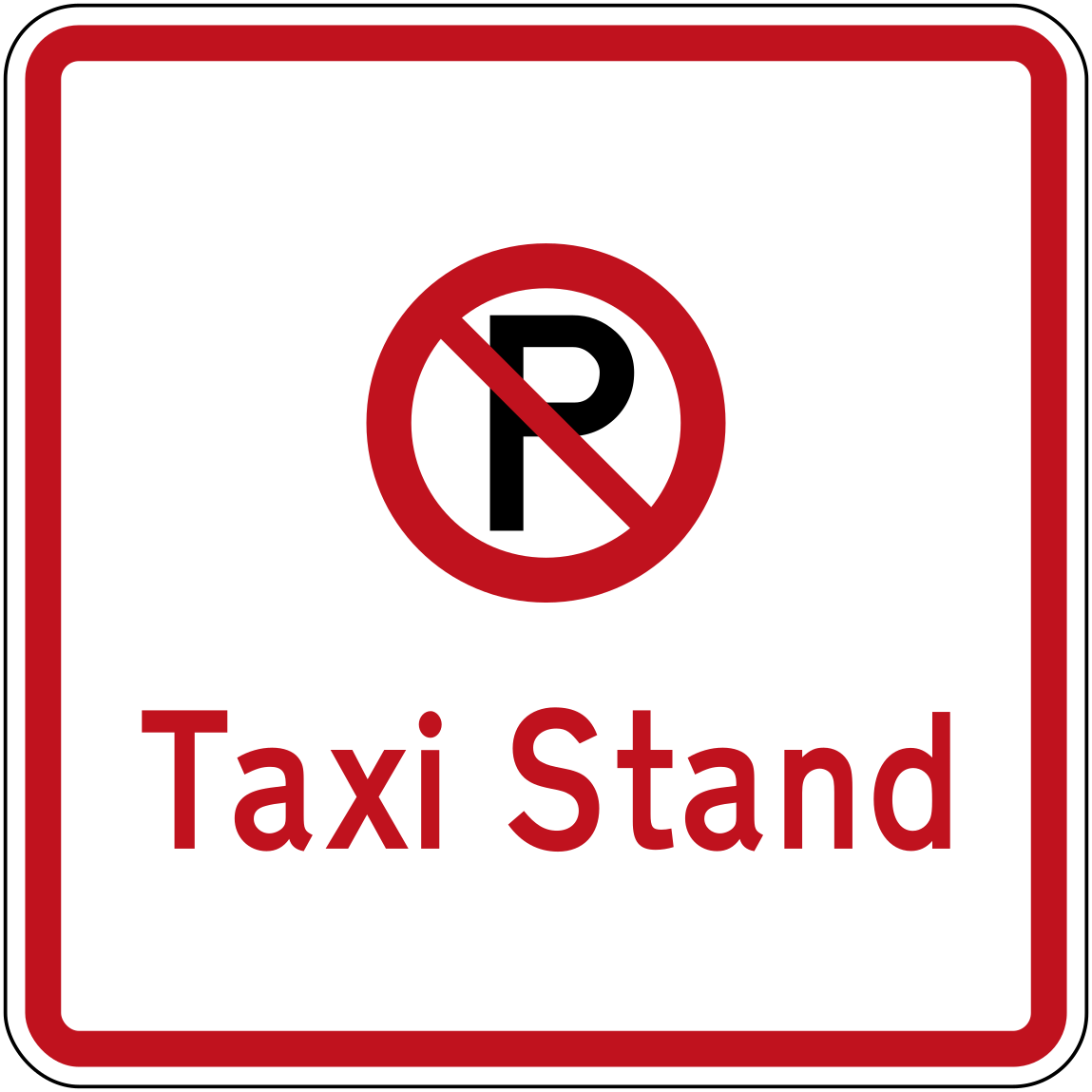 No parking taxi standCode R6-72No parking — this is a taxi stand.
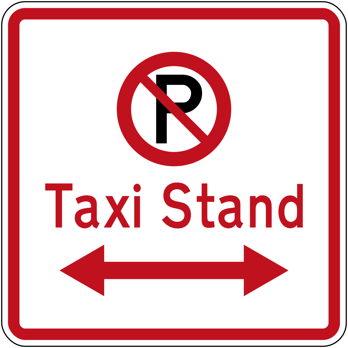 No parking taxi stand bothCode R6-72.1LRNo parking — taxi stand, restriction extends in both directions.
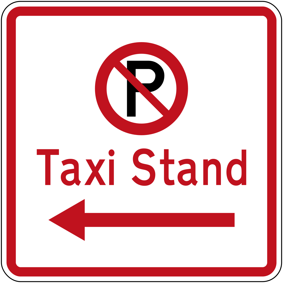 No parking taxi stand leftCode R6-72.1LNo parking — taxi stand, restriction extends to the left.
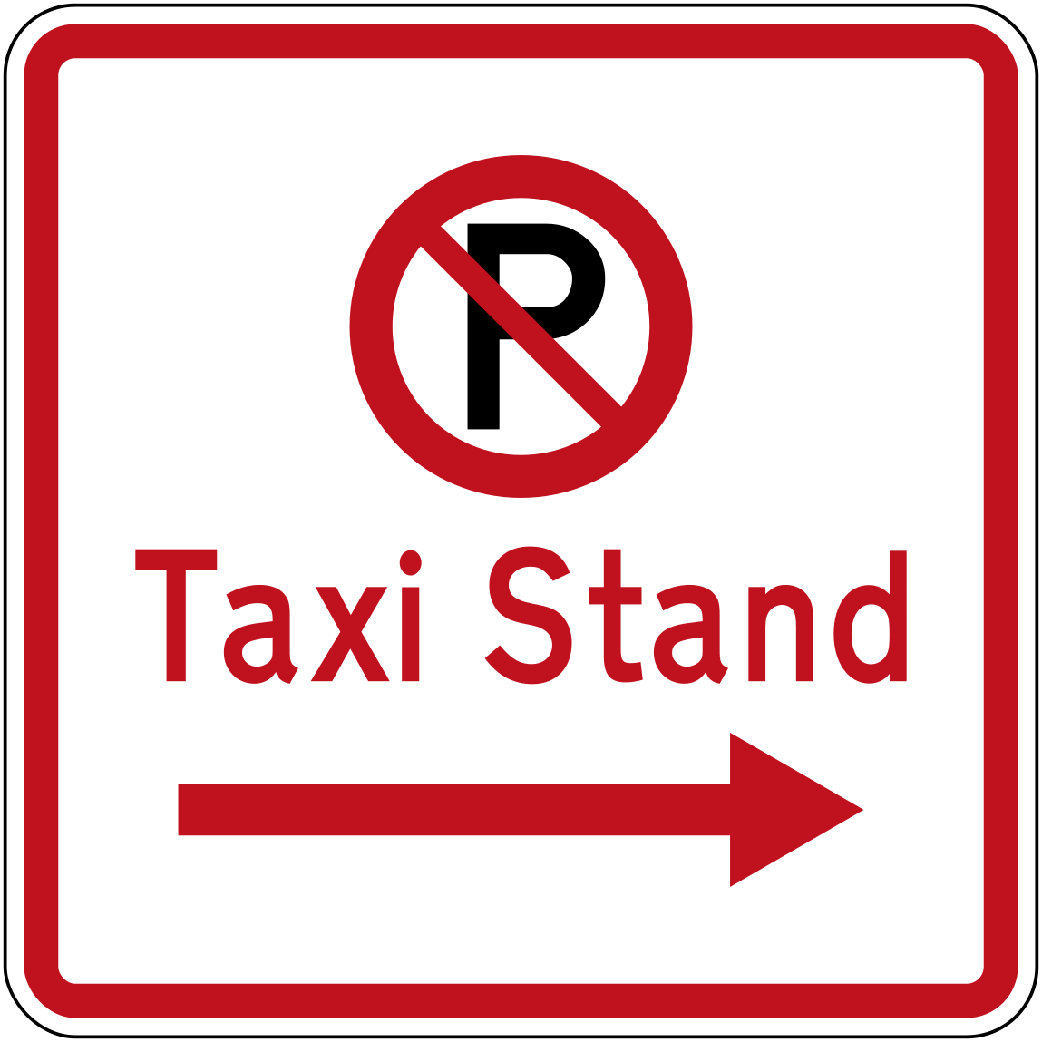 No parking taxi stand rightCode R6-72.1RNo parking — taxi stand, restriction extends to the right.
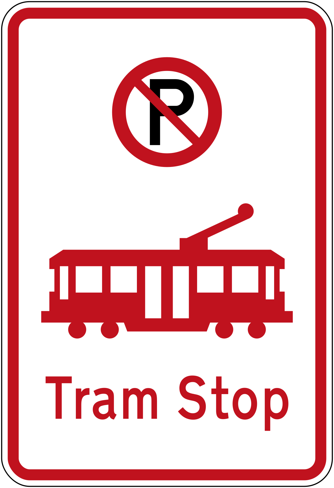 No parking tram stopCode R6-74No parking — this is a tram stop.
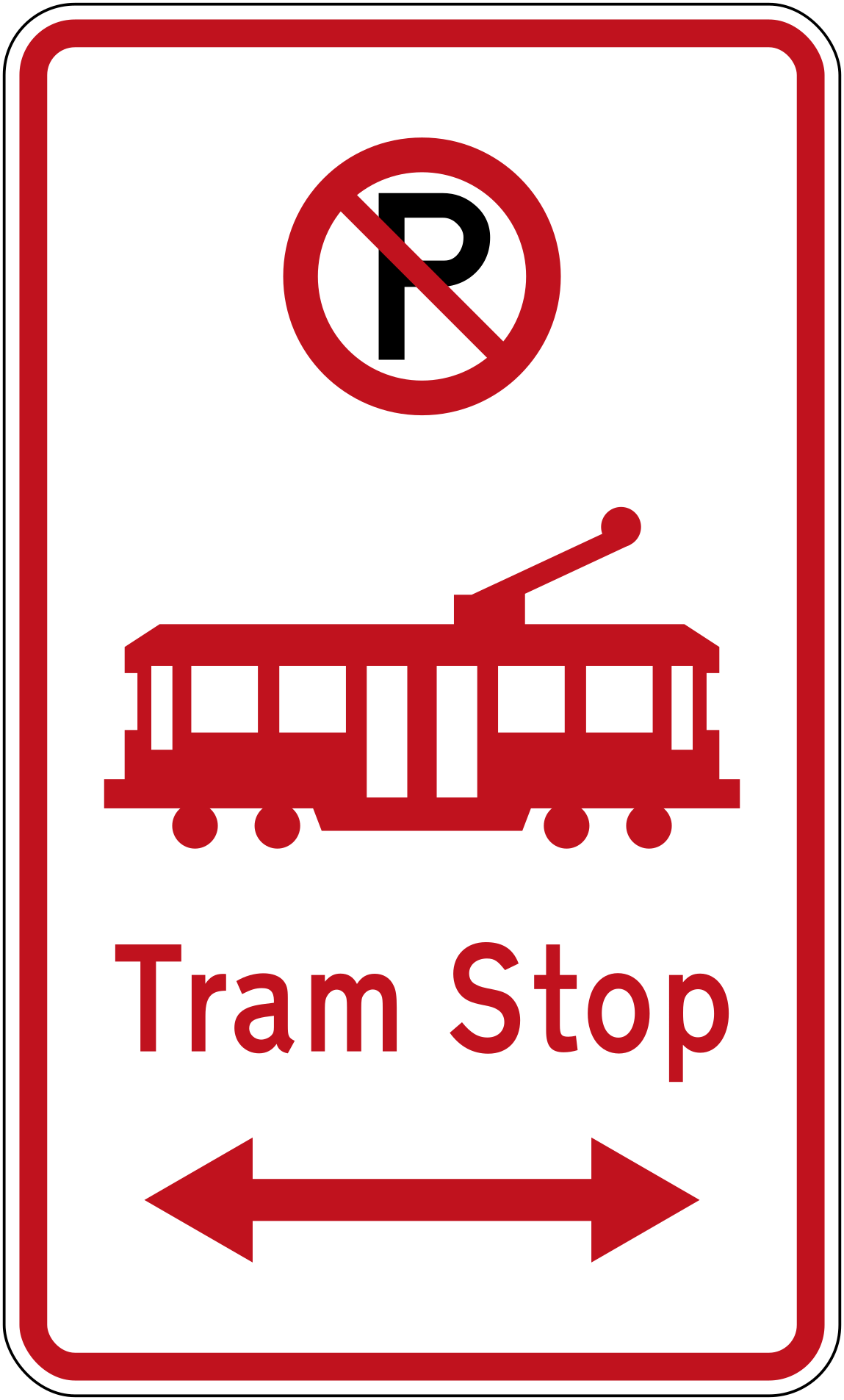 No parking tram stop bothCode R6-74.1LRNo parking — tram stop, restriction extends in both directions.
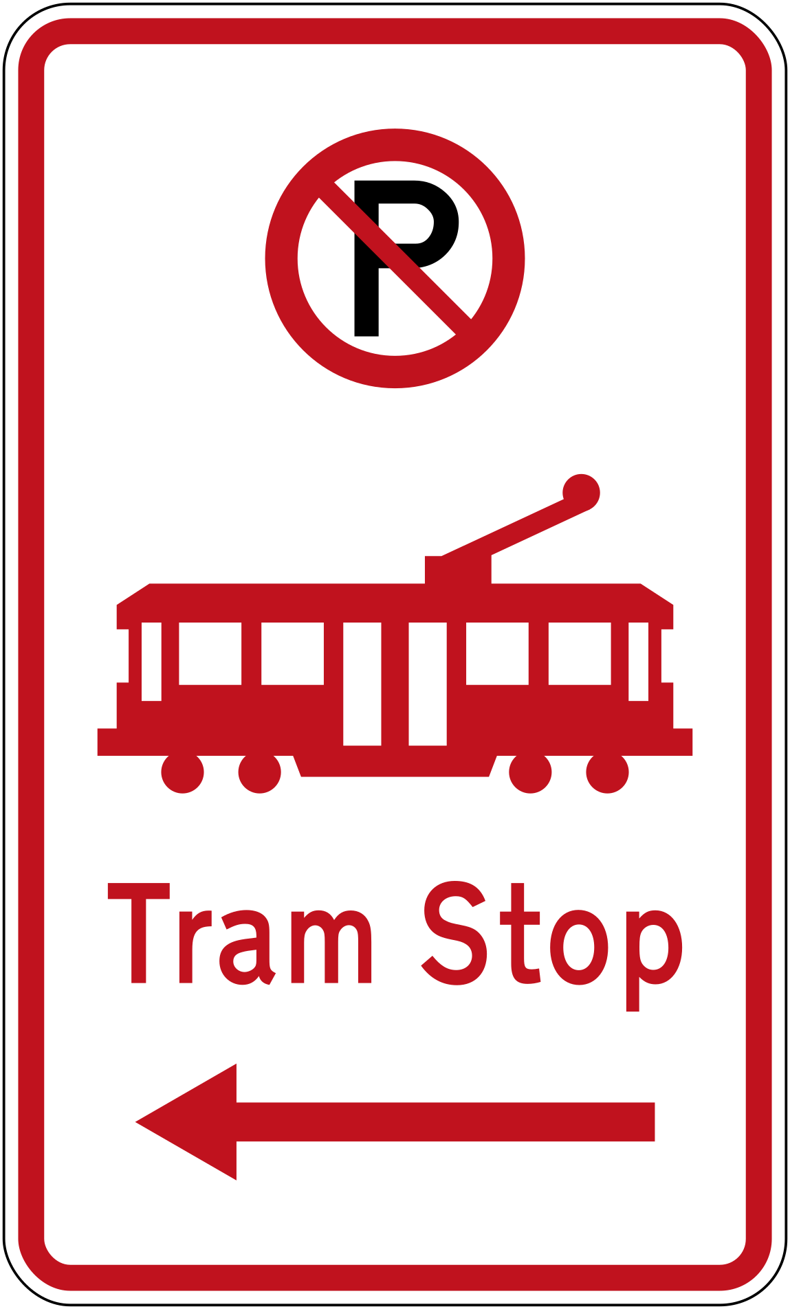 No parking tram stop leftCode R6-74.1LNo parking — tram stop, restriction extends to the left.
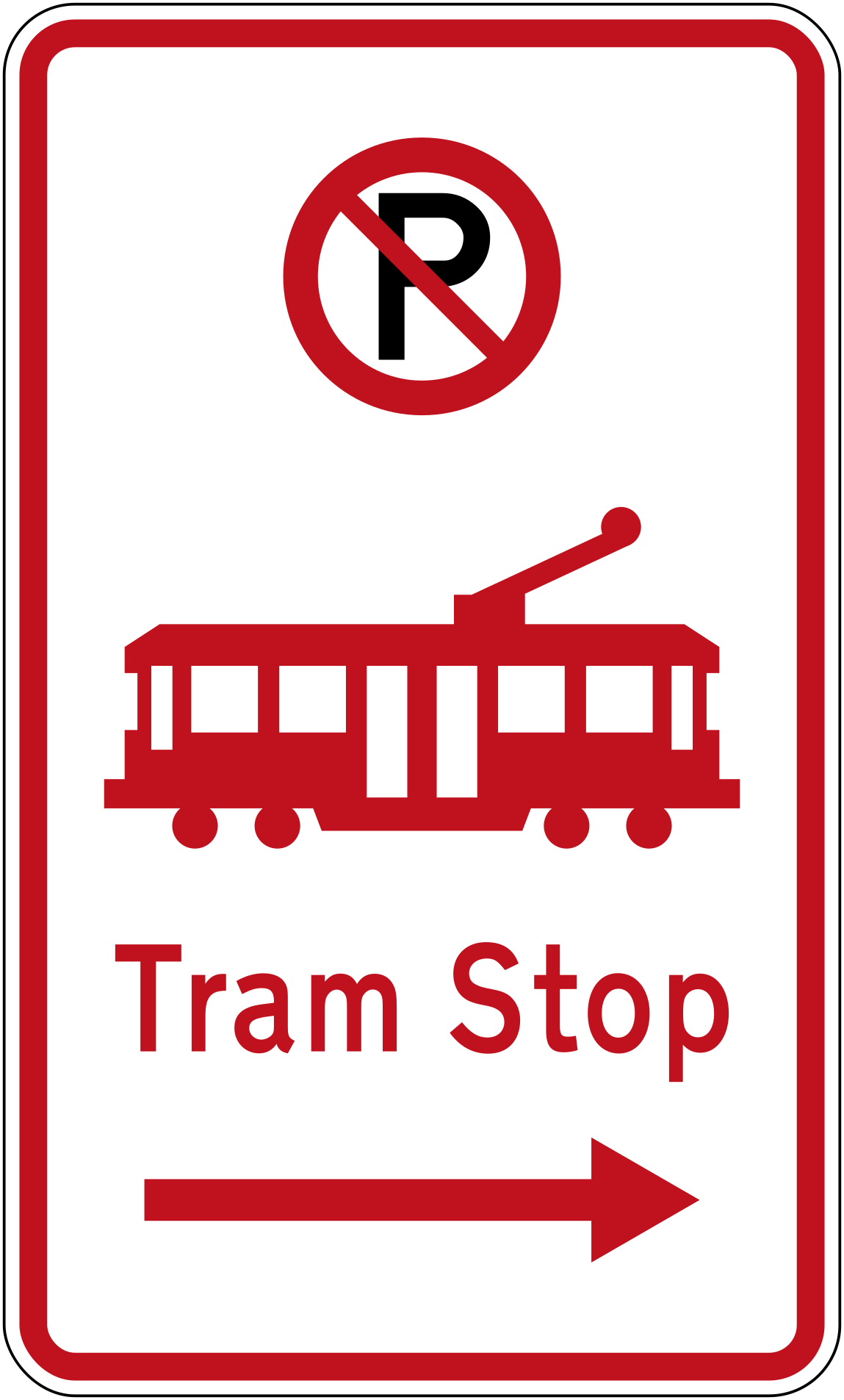 No parking tram stop rightCode R6-74.1RNo parking — tram stop, restriction extends to the right.
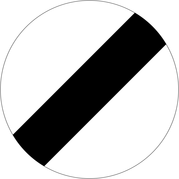 DerestrictionCode R1-3End of speed limit restriction — the previously posted speed limit no longer applies and the national speed limit is in force.
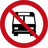 No busesBuses are prohibited from entering or using this road or area.
 No parkingCode R6-70Parking is prohibited (current version).
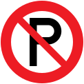 No parking 1990Code R6-70Parking is prohibited (1990–2016 version).
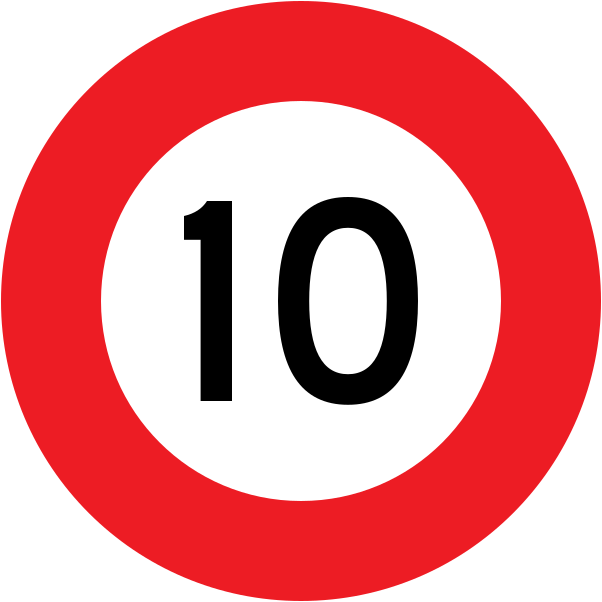 Speed limit 10Code R1-1 (obsolete)Obsolete maximum speed limit of 10 km/h — circular red-bordered sign (pre-current style).
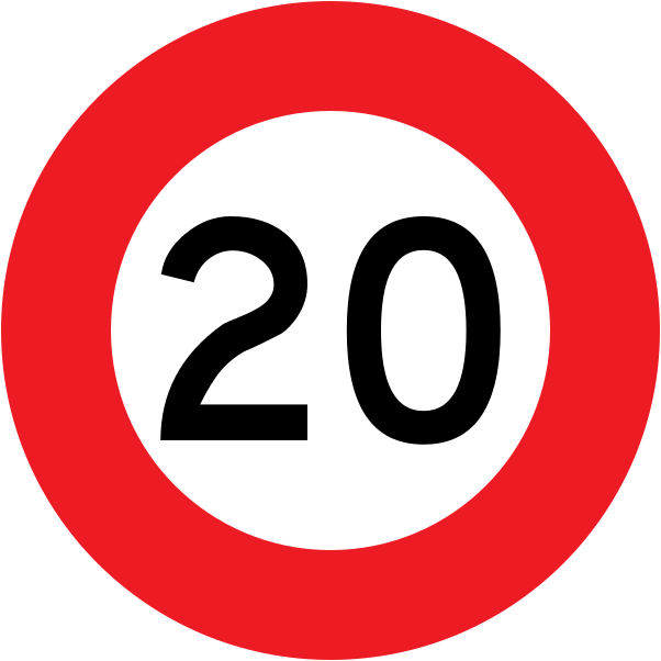 Speed limit 20Code R1-1 (obsolete)Obsolete maximum speed limit of 20 km/h — circular red-bordered sign (pre-current style).
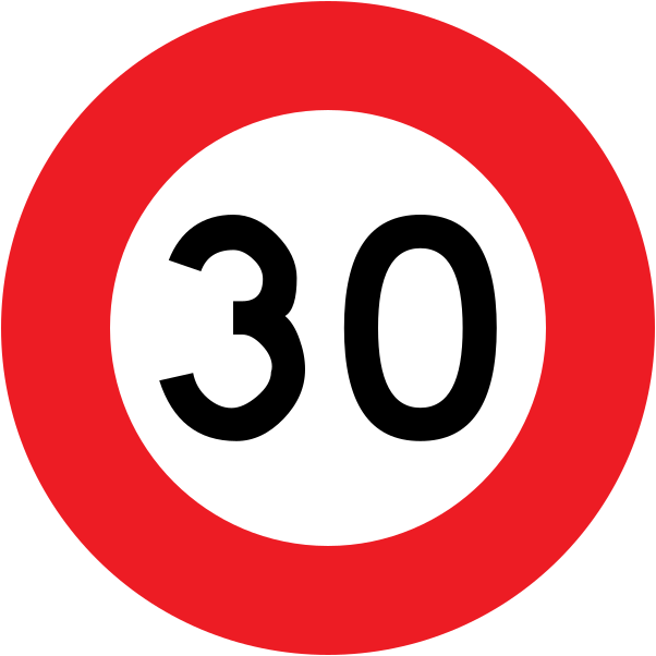 Speed limit 30Code R1-1 (obsolete)Obsolete maximum speed limit of 30 km/h — circular red-bordered sign (pre-current style).
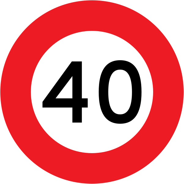 Speed limit 40Code R1-1 (obsolete)Obsolete maximum speed limit of 40 km/h — circular red-bordered sign (pre-current style).
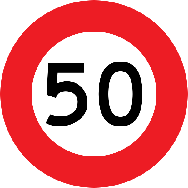 Speed limit 50Code R1-1 (obsolete)Obsolete maximum speed limit of 50 km/h — circular red-bordered sign (pre-current style).
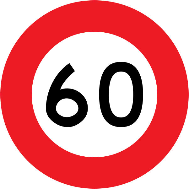 Speed limit 60Code R1-1 (obsolete)Obsolete maximum speed limit of 60 km/h — circular red-bordered sign (pre-current style).
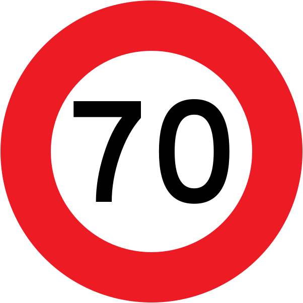 Speed limit 70Code R1-1 (obsolete)Obsolete maximum speed limit of 70 km/h — circular red-bordered sign (pre-current style).
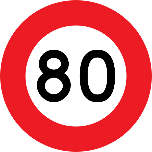 Speed limit 80Code R1-1 (obsolete)Obsolete maximum speed limit of 80 km/h — circular red-bordered sign (pre-current style).
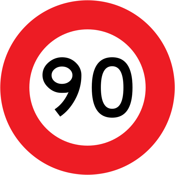 Speed limit 90Code R1-1 (obsolete)Obsolete maximum speed limit of 90 km/h — circular red-bordered sign (pre-current style).
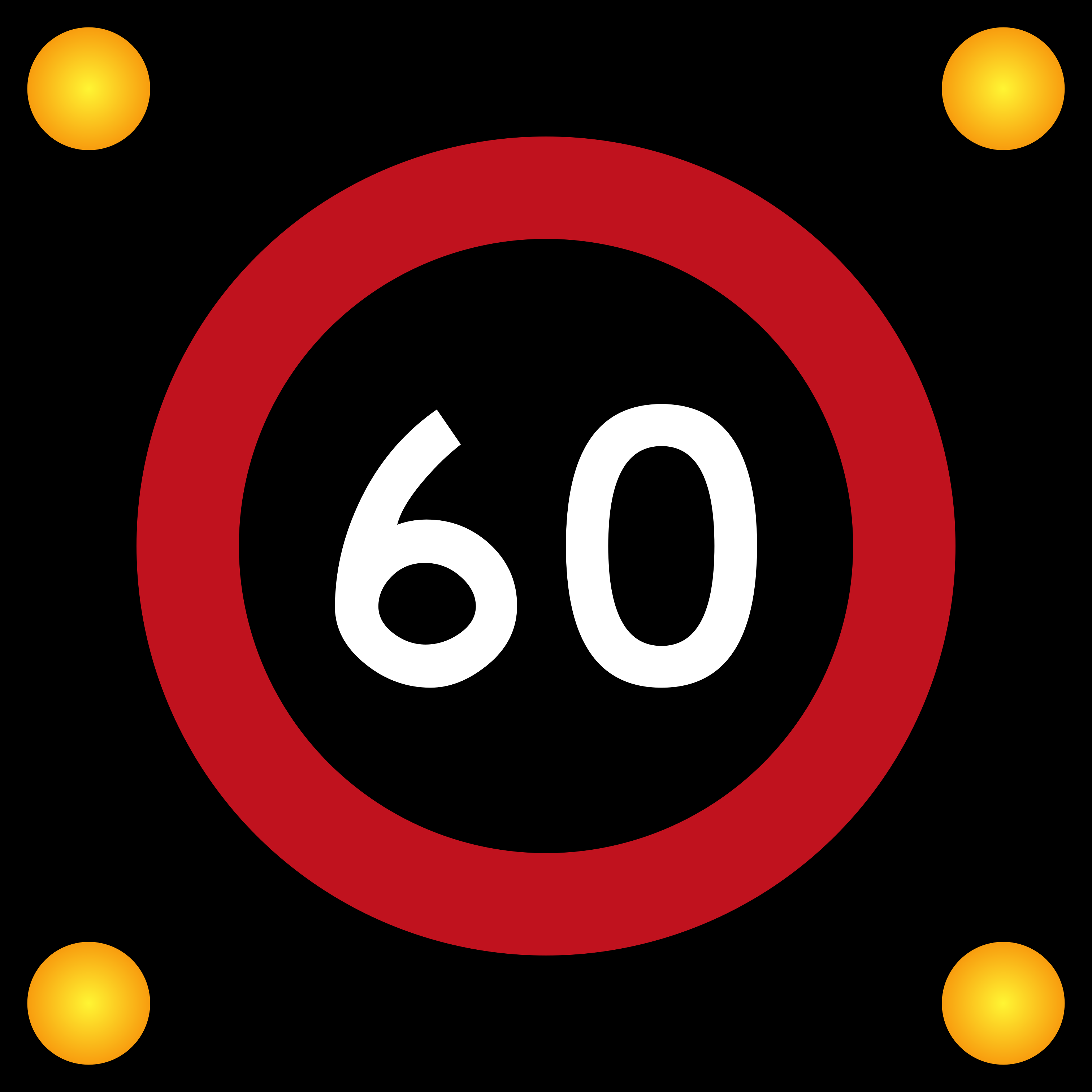 Variable speed 60 illuminatedCode R1-2.1Variable speed limit sign showing 60 km/h on an illuminated black-background display with amber corner lights.
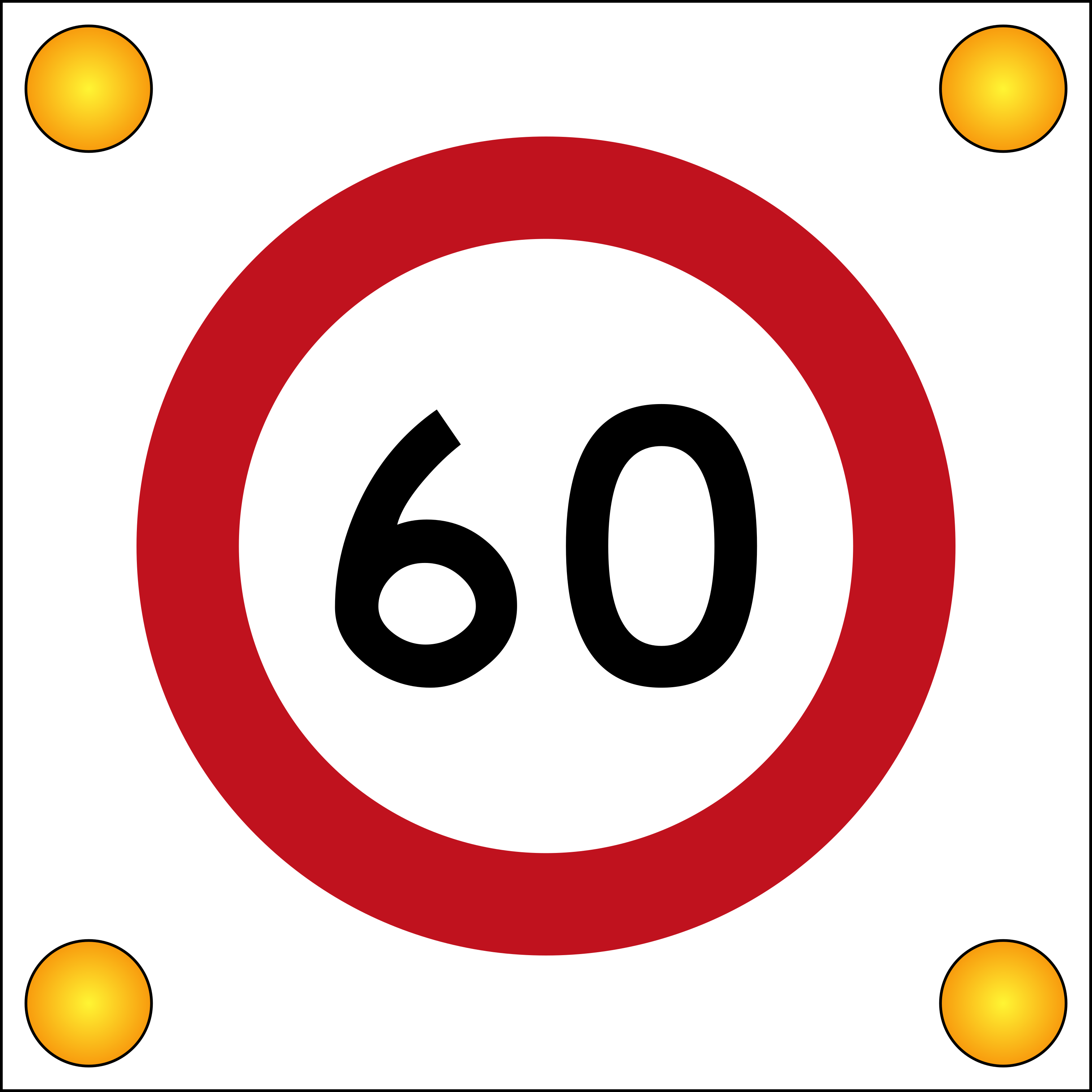 Variable speed 60Code R1-2Variable speed limit sign showing 60 km/h on a white-background display with amber corner lights.
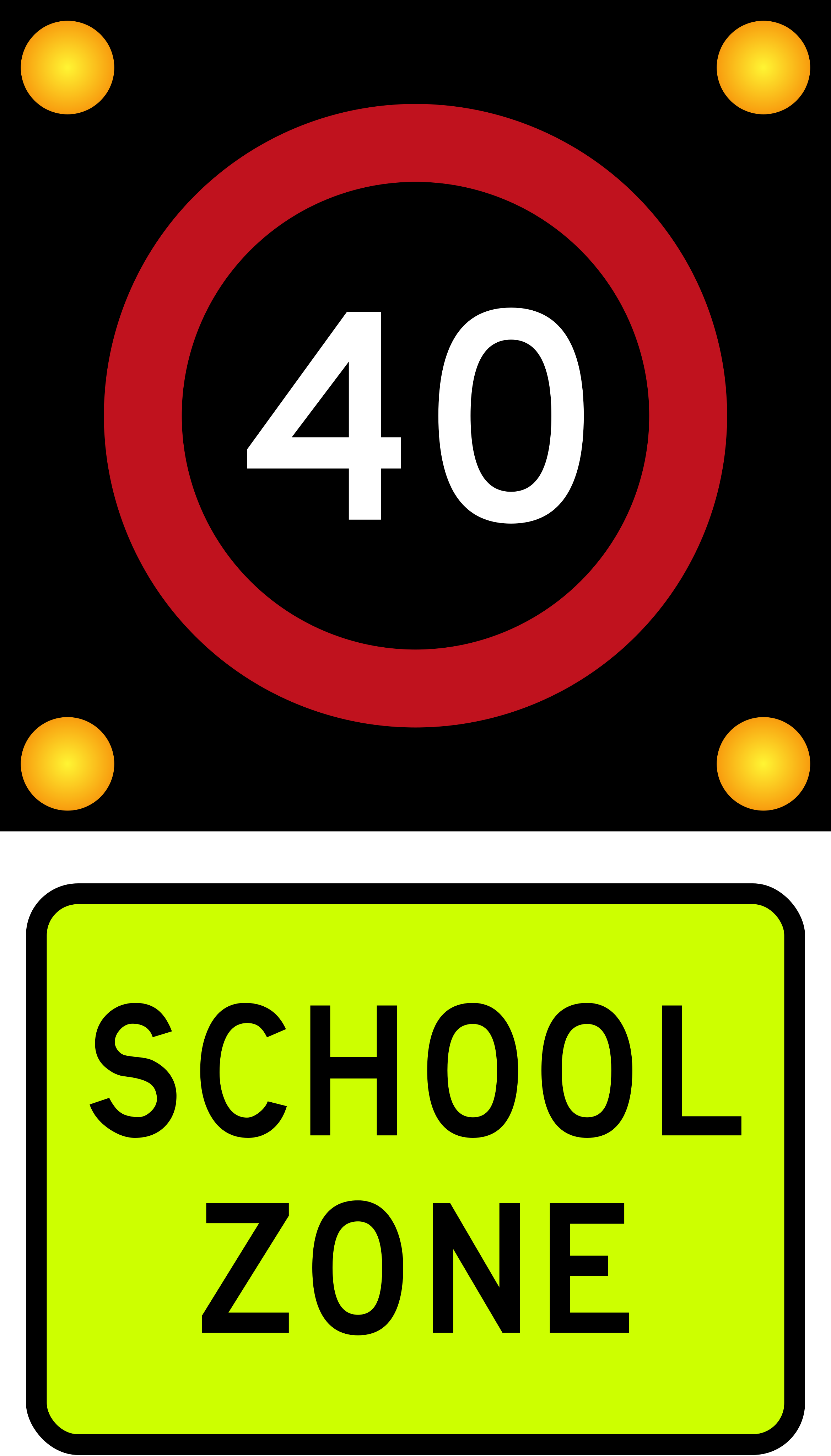 School zone speed 40Code R1-6School zone speed limit of 40 km/h, displayed on illuminated sign with SCHOOL ZONE panel.
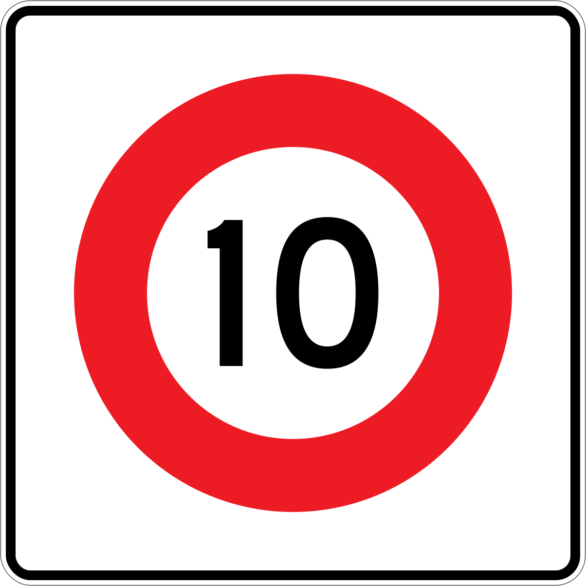 Temp speed 10Code R1-8.1 (obsolete)Obsolete temporary speed limit of 10 km/h — square white sign with red-bordered circle.
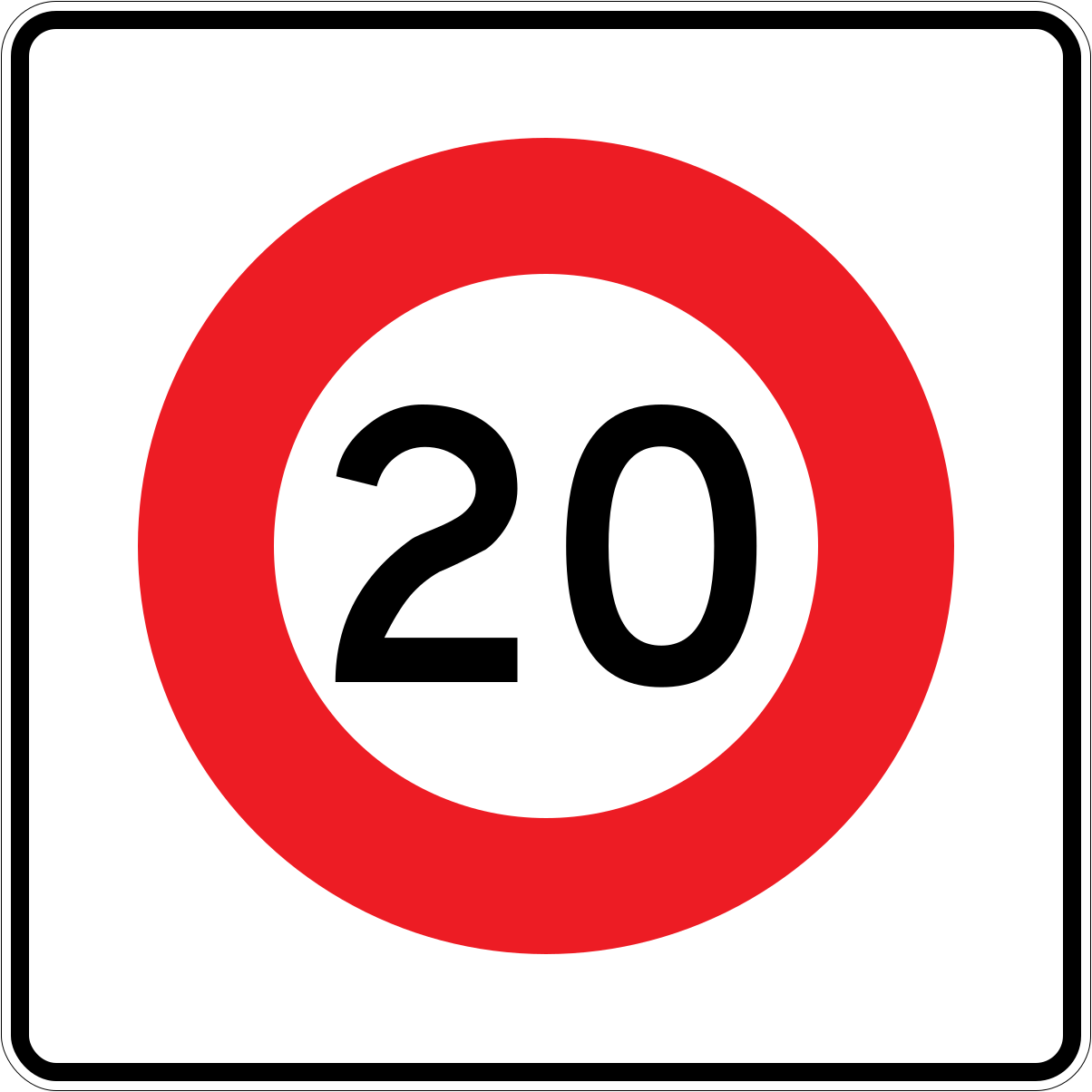 Temp speed 20Code R1-8.1 (obsolete)Obsolete temporary speed limit of 20 km/h — square white sign with red-bordered circle.
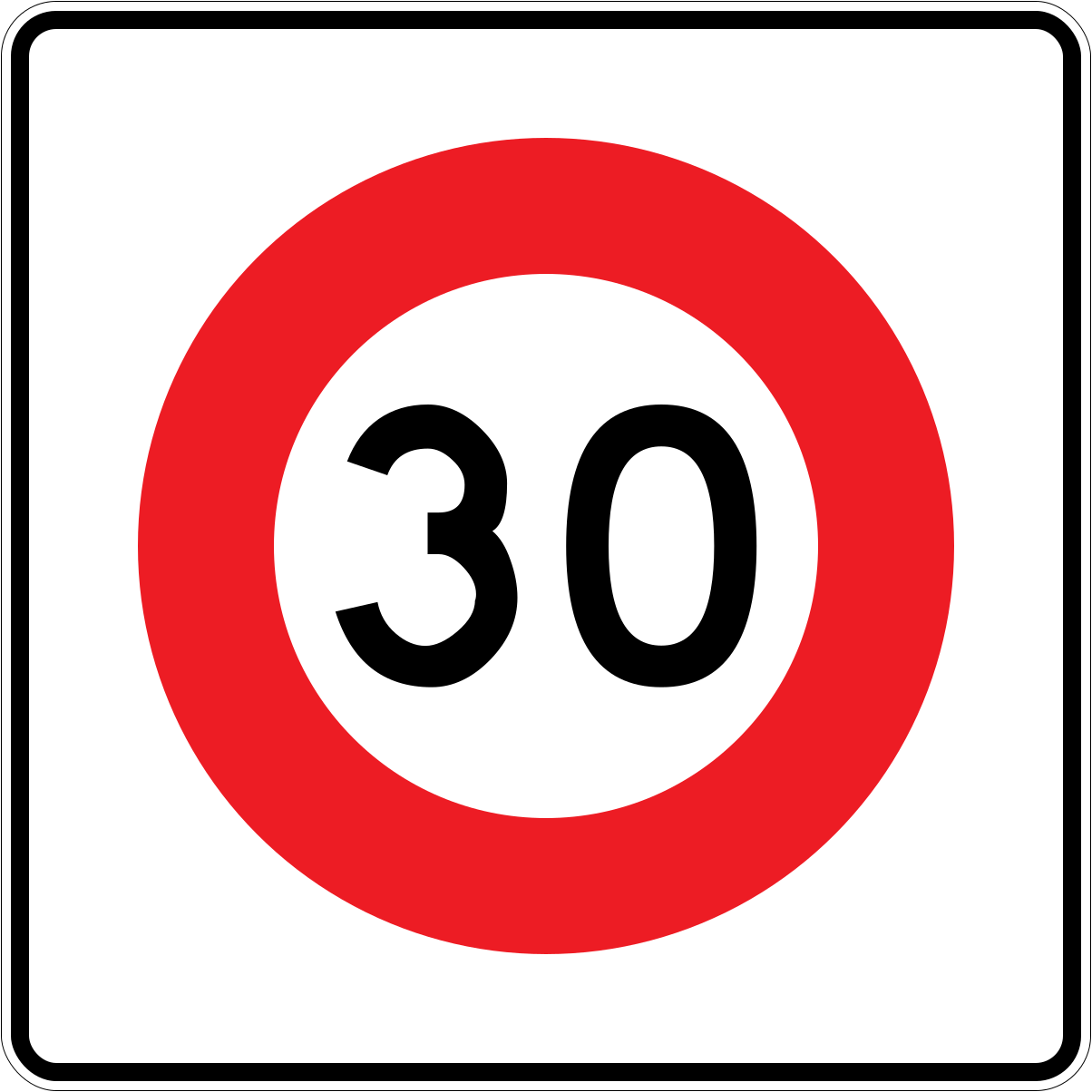 Temp speed 30Code R1-8.1 (obsolete)Obsolete temporary speed limit of 30 km/h — square white sign with red-bordered circle.
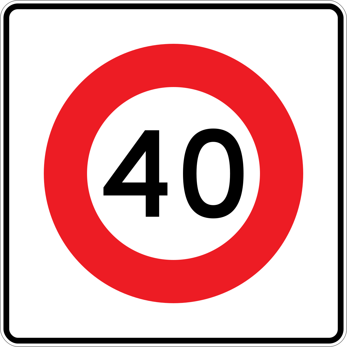 Temp speed 40Code R1-8.1 (obsolete)Obsolete temporary speed limit of 40 km/h — square white sign with red-bordered circle.
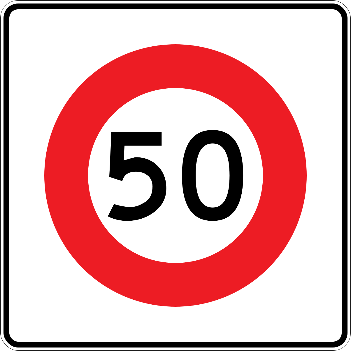 Temp speed 50Code R1-8.1 (obsolete)Obsolete temporary speed limit of 50 km/h — square white sign with red-bordered circle.
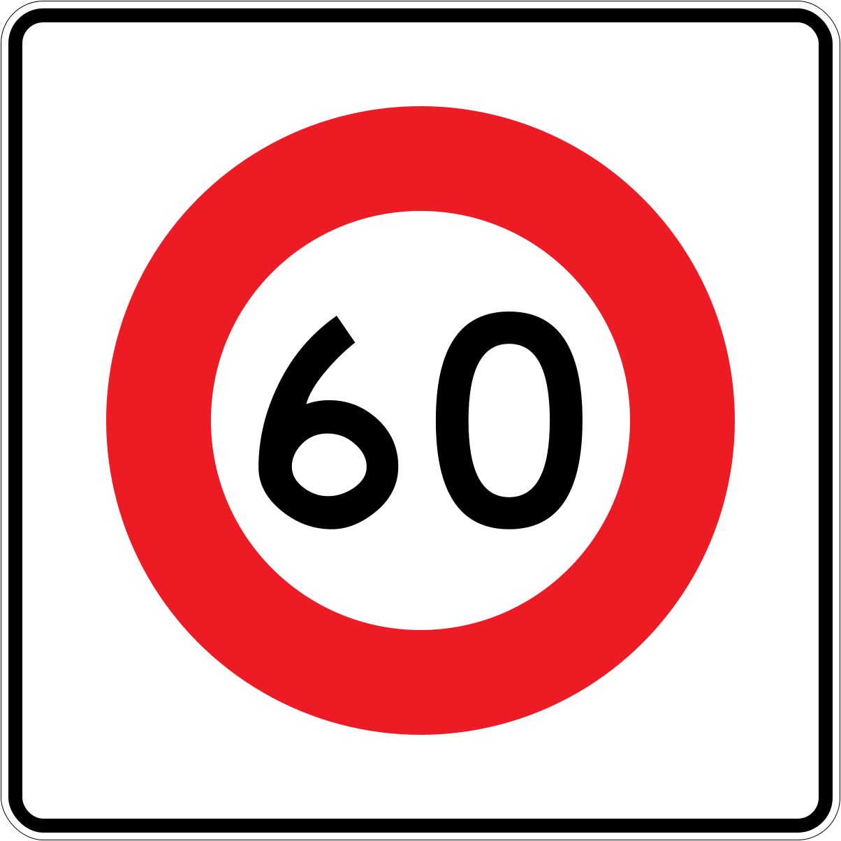 Temp speed 60Code R1-8.1 (obsolete)Obsolete temporary speed limit of 60 km/h — square white sign with red-bordered circle.
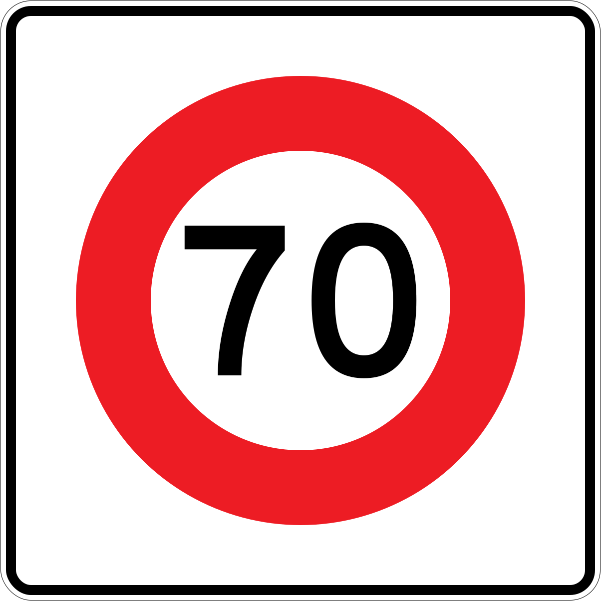 Temp speed 70Code R1-8.1 (obsolete)Obsolete temporary speed limit of 70 km/h — square white sign with red-bordered circle.
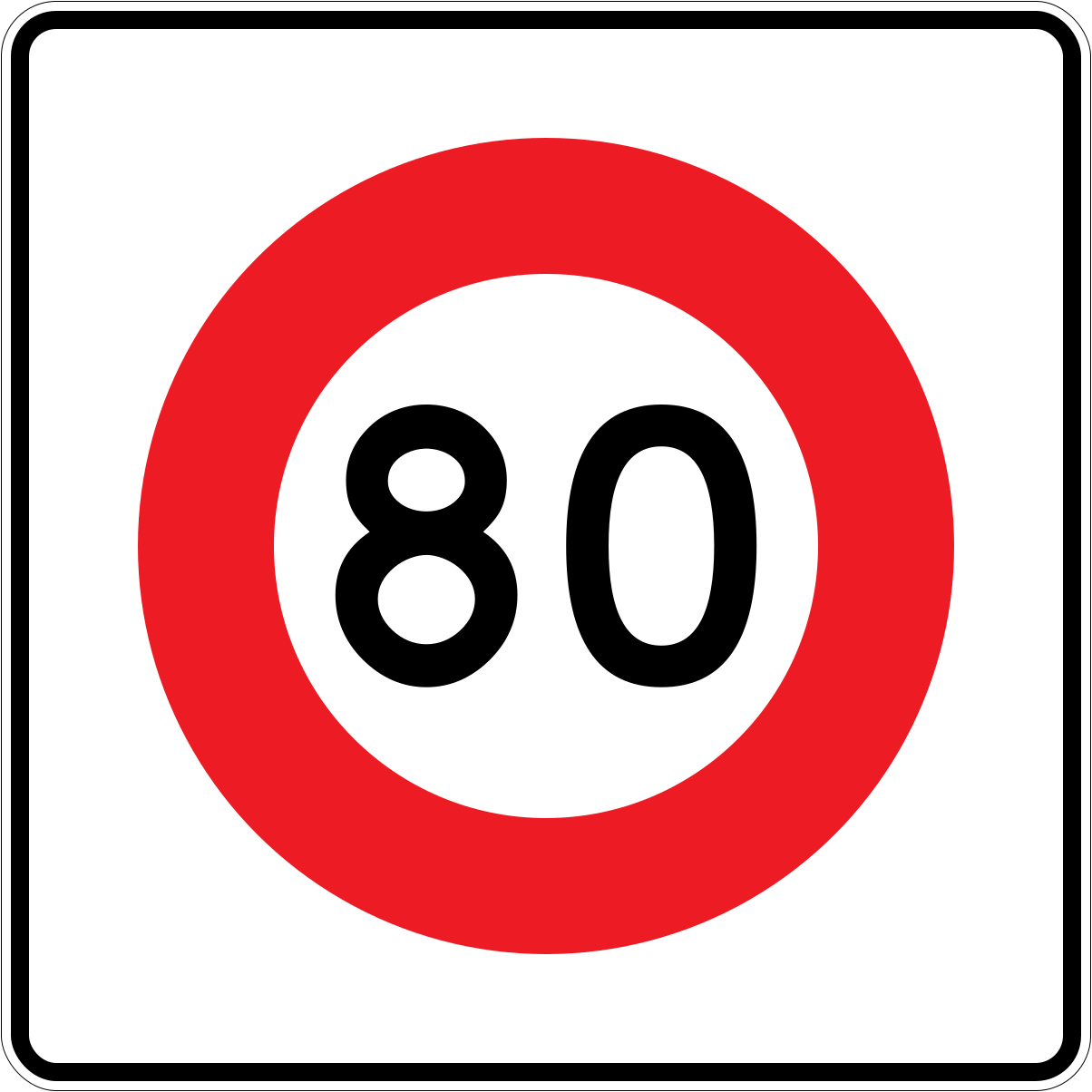 Temp speed 80Code R1-8.1 (obsolete)Obsolete temporary speed limit of 80 km/h — square white sign with red-bordered circle.
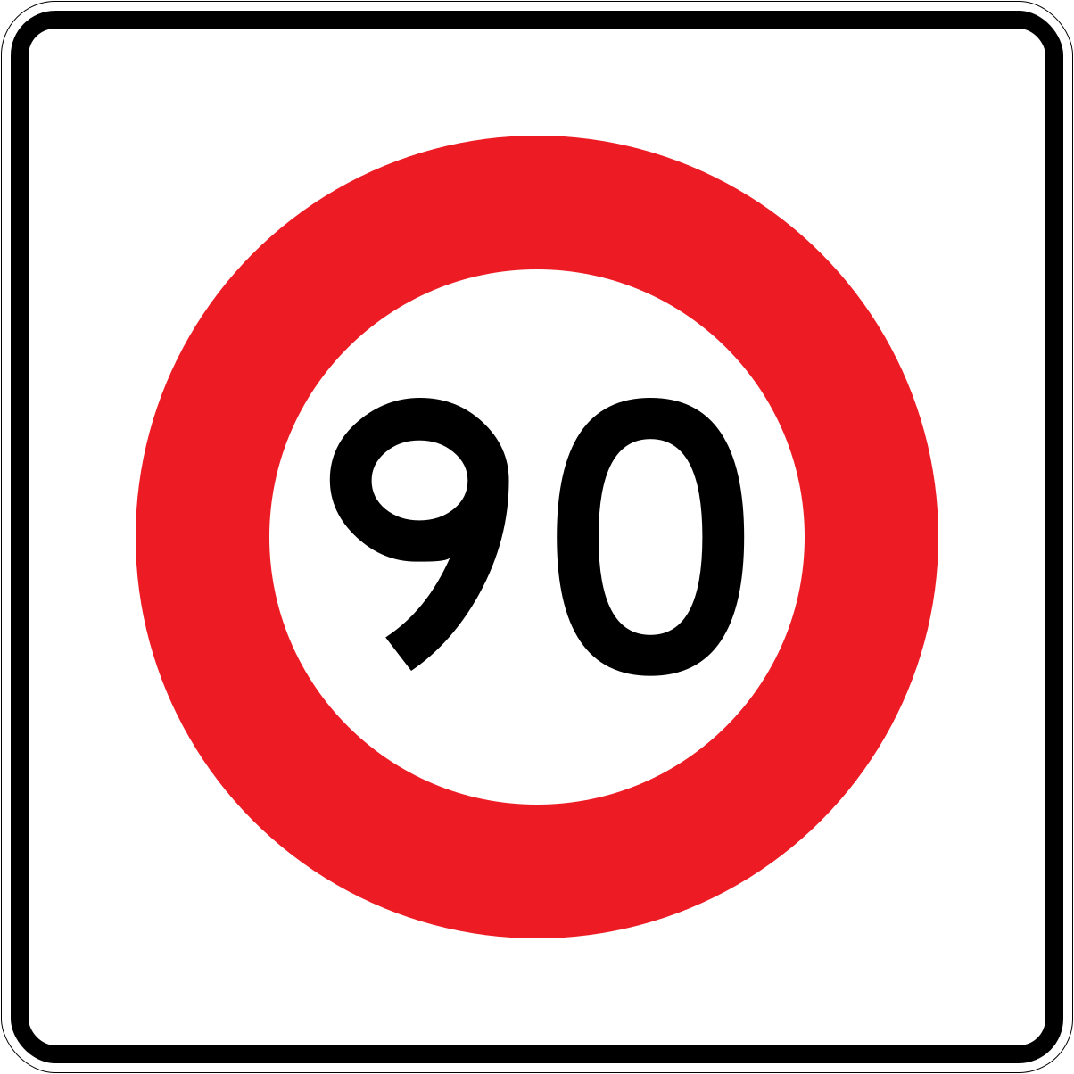 Temp speed 90Code R1-8.1 (obsolete)Obsolete temporary speed limit of 90 km/h — square white sign with red-bordered circle.
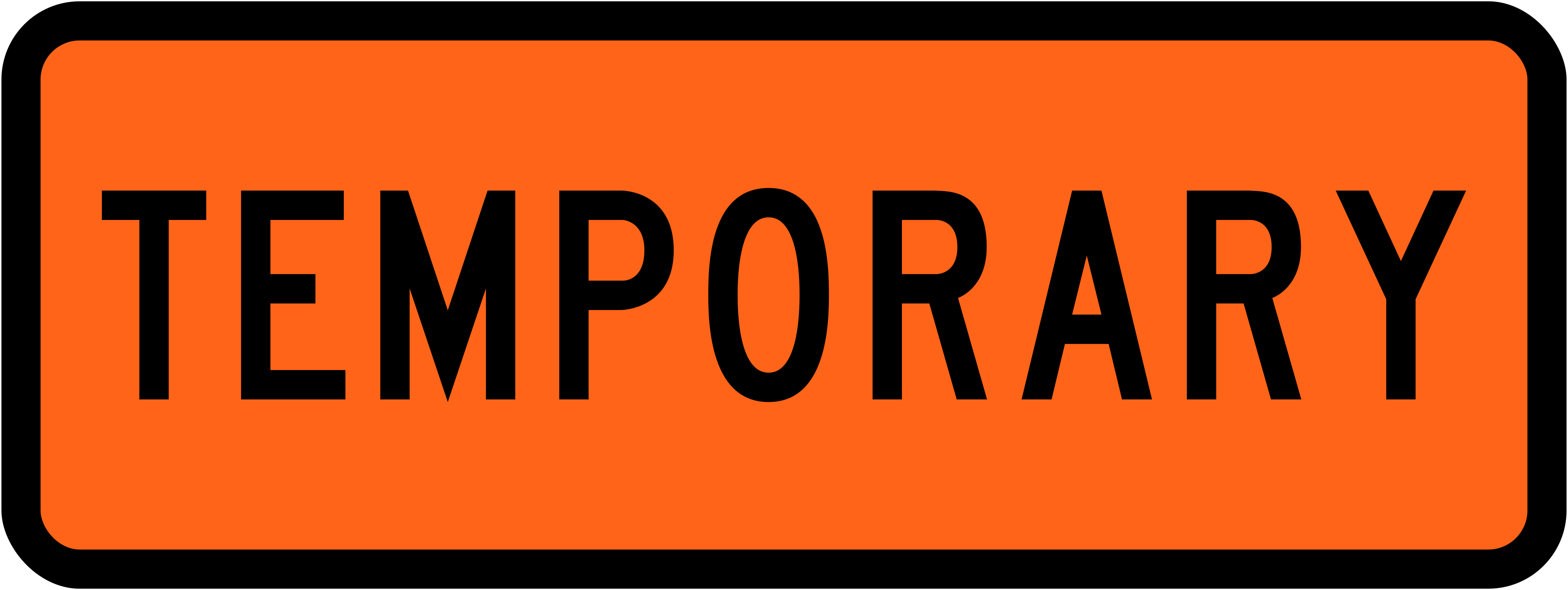 Temporary speedCode R1-8.1Temporary speed limit sign — orange rectangular panel reading TEMPORARY.
 Temporary speed panelCode R1-8Temporary speed limit supplementary panel reading TEMPORARY, used with roadworks speed signs.
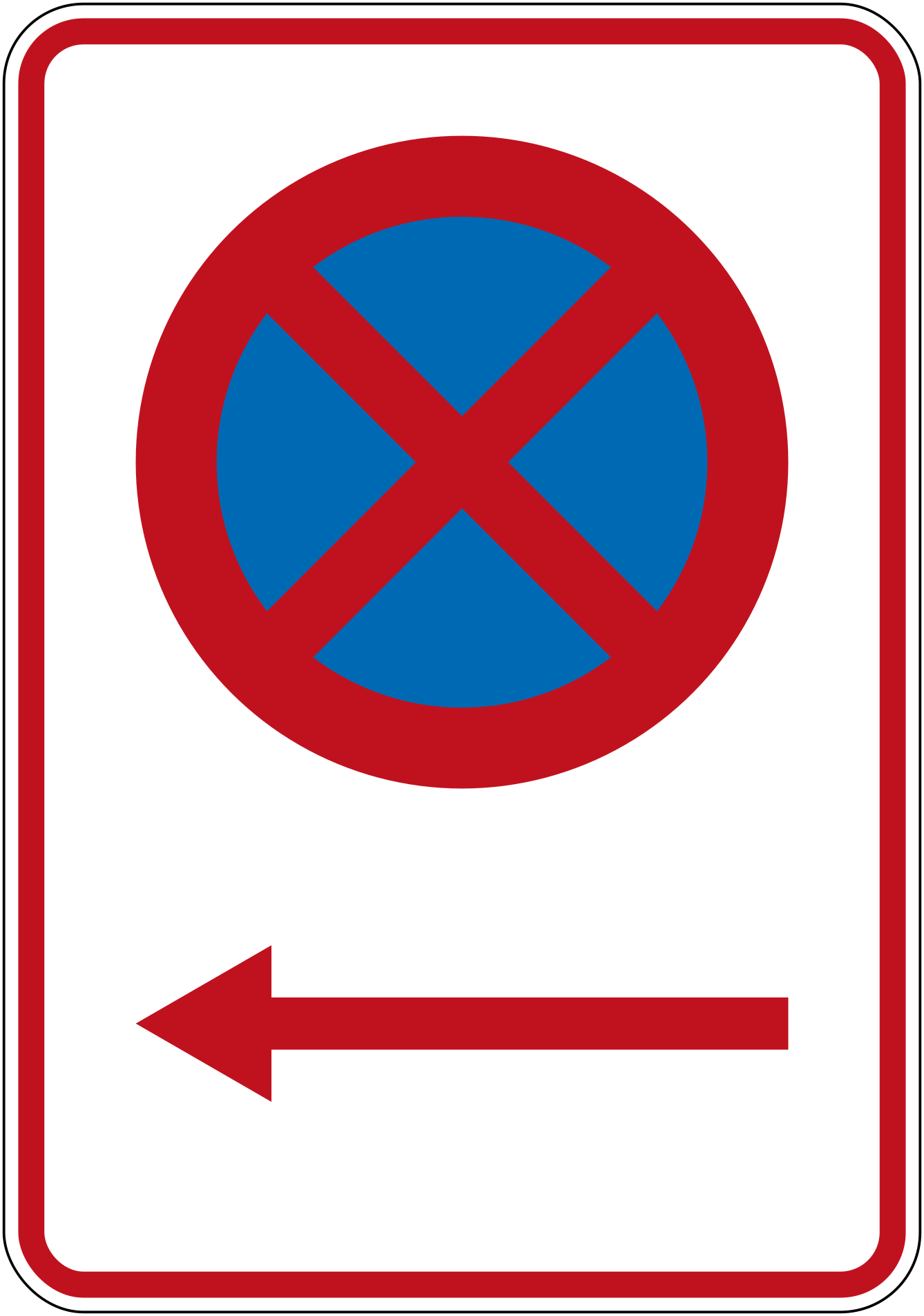 1bl no stopping leftCode R6-10.1BLNo stopping in the direction indicated by the left arrow below the no-stopping symbol.
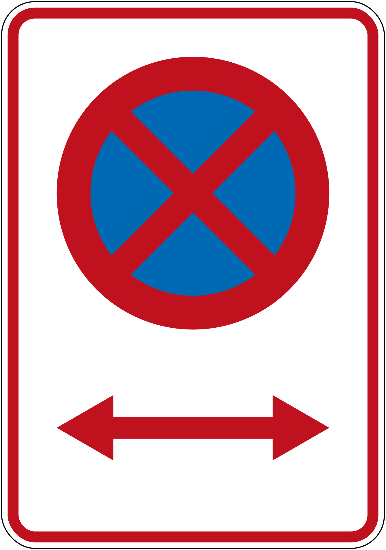 1blr no stopping bothCode R6-10.1BLRNo stopping — restriction applies in both directions as shown by the double-headed arrow.
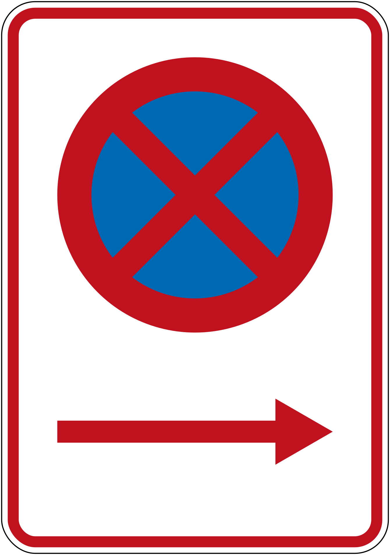 1br no stopping rightCode R6-10.1BRNo stopping in the direction indicated by the right arrow below the no-stopping symbol.
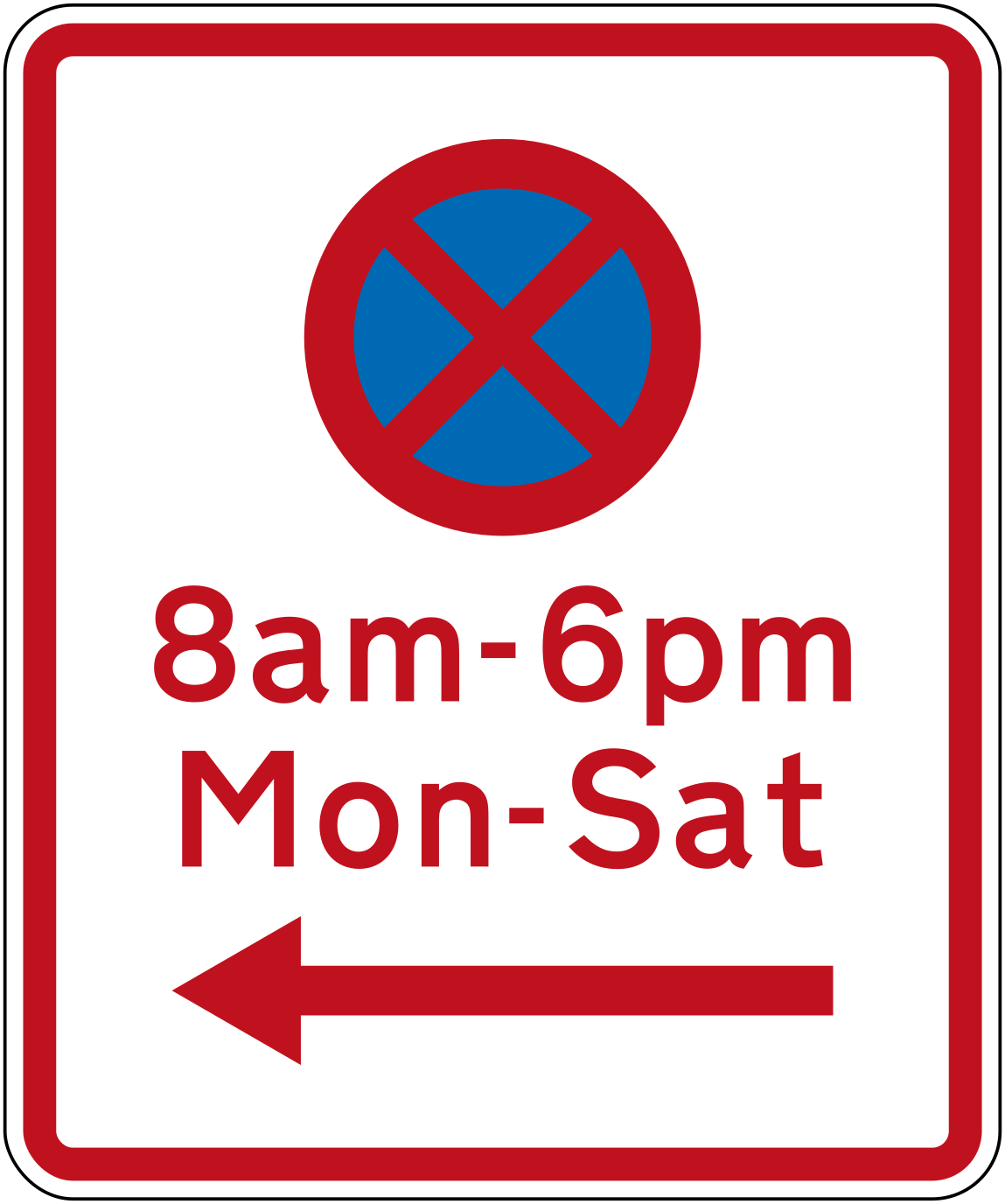 No stopping 8am 6pm mon sat leftCode R6-11LNo stopping 8am–6pm Monday to Saturday, restriction applies to the left.
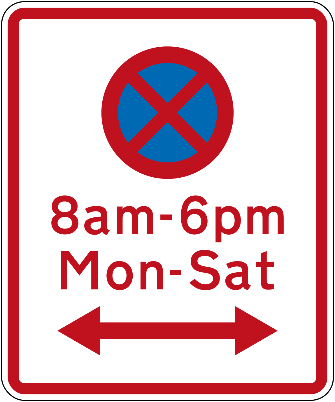 11lr no stopping 8am 6pm mon sat bothCode R6-11LRNo stopping 8am–6pm Monday to Saturday, restriction applies in both directions.
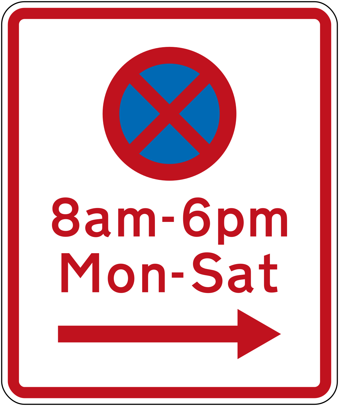 No stopping 8am 6pm mon sat rightCode R6-11RNo stopping 8am–6pm Monday to Saturday, restriction applies to the right.
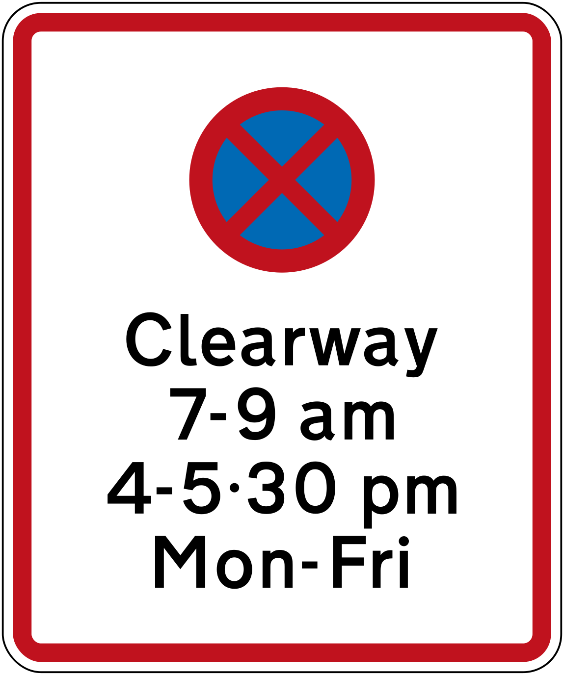
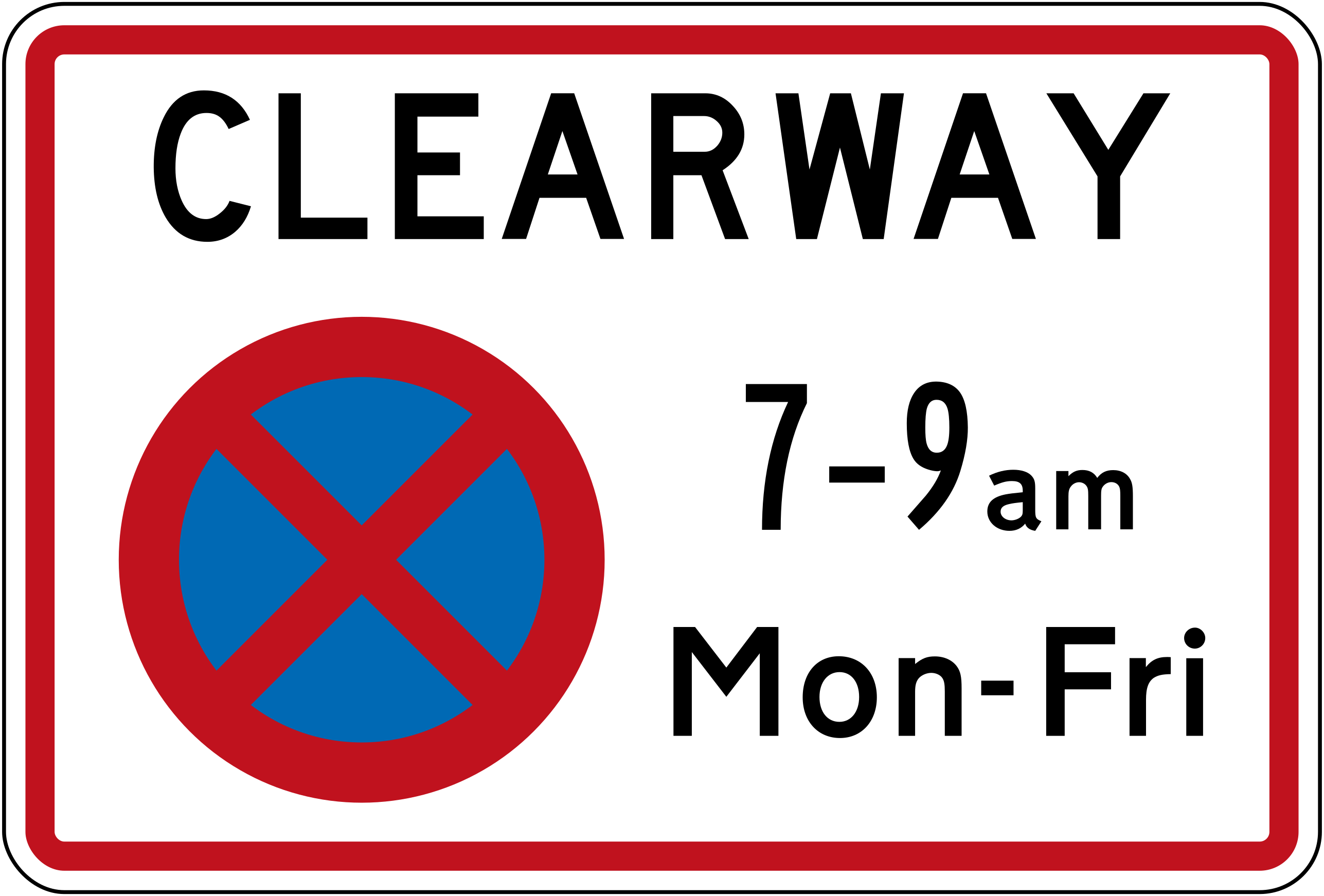 Clearway 7 9am 4 530pm mon friCode R6-12.1Clearway — no stopping during peak hours 7–9am and 4–5:30pm Monday to Friday.
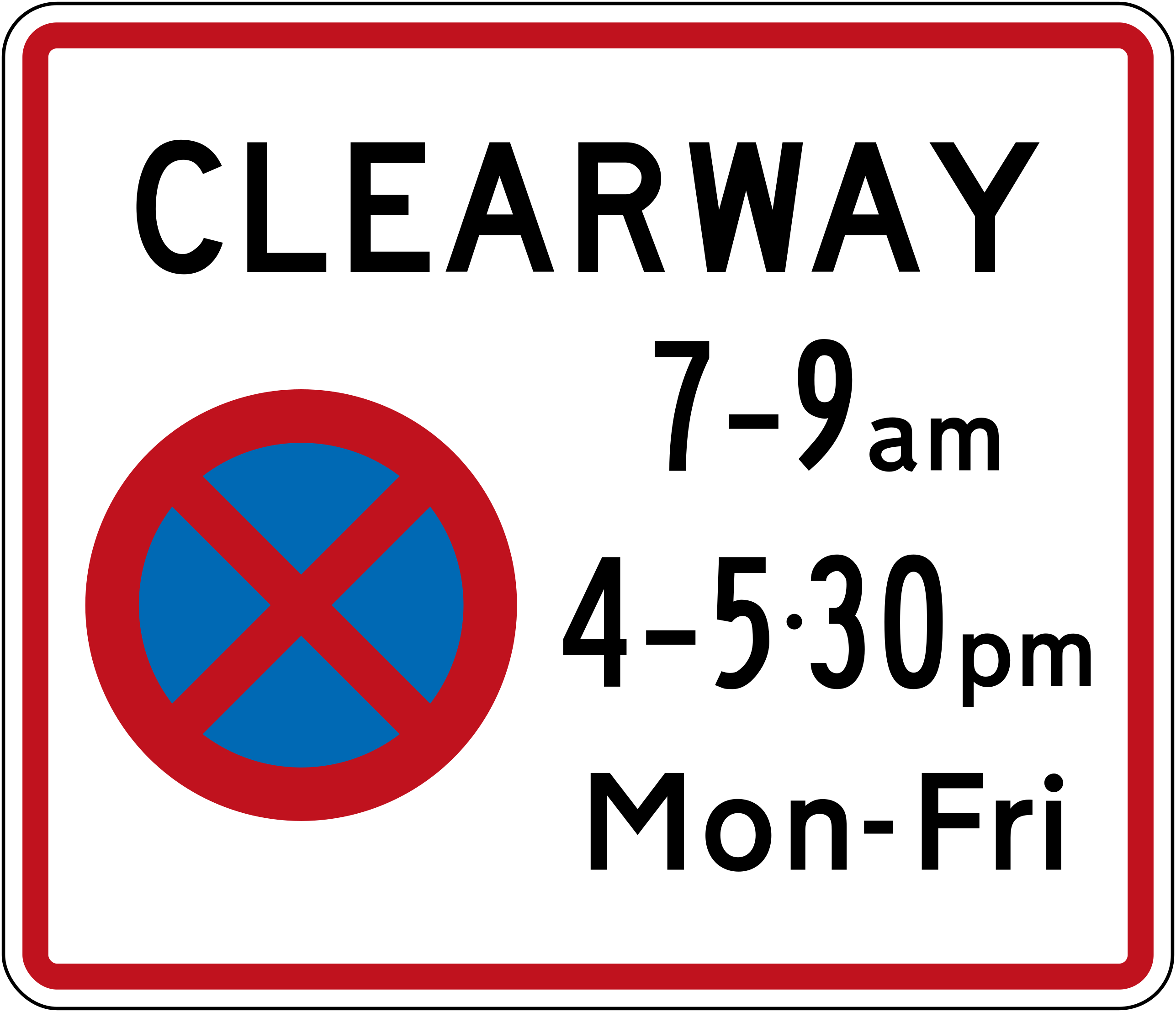 Clearway 7 9am 4 530pm mon friCode R6-12.2Clearway with no-stopping symbol — no stopping 7–9am and 4–5:30pm Monday to Friday.
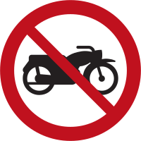 Rg no motorcyclesMotorcycles are prohibited from entering or using this road or area.
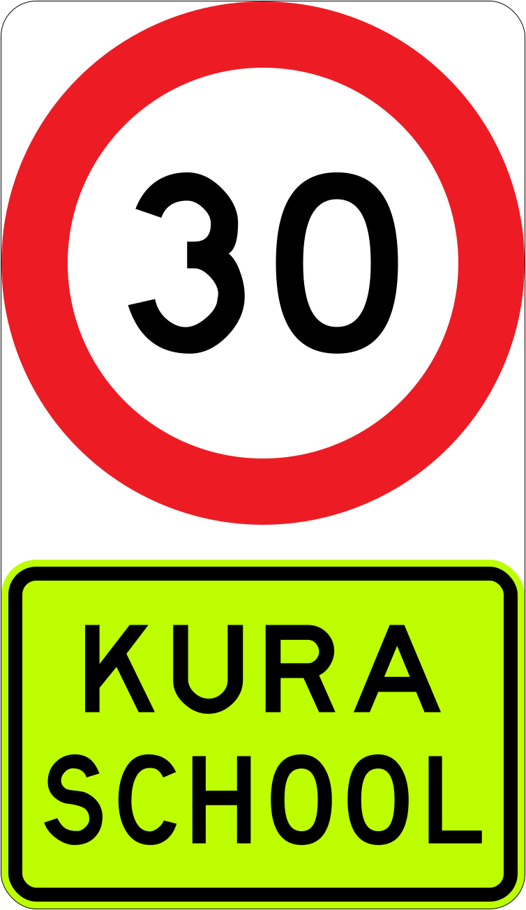 School zone speed 30 kuraCode R1-6.2Speed limit of 30 km/h applies near a kura (Māori school) with a fluorescent-yellow KURA SCHOOL supplementary panel.
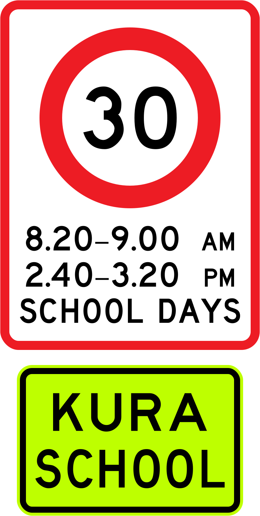 School zone speed 30 kura 2022Code R1-6.1Speed limit of 30 km/h applies near a kura (Māori school) during the hours shown on school days, with a fluorescent-yellow KURA SCHOOL supplementary panel (2022–2024 version).
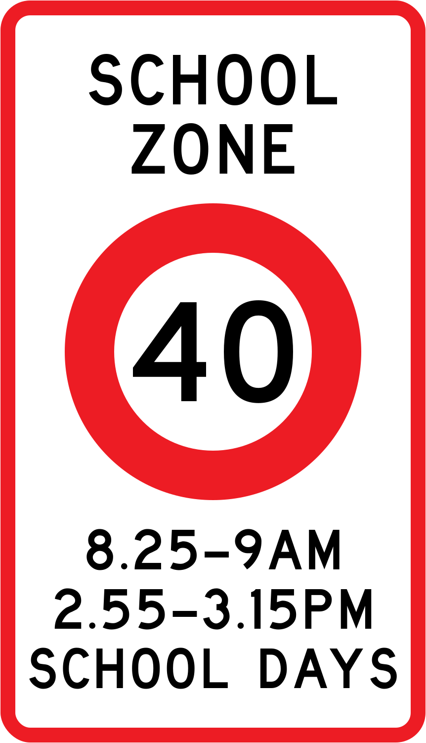 School zone speed 40 2002Code R1-6.1Speed limit of 40 km/h applies in a school zone during the hours shown on school days (2002–2016 version).
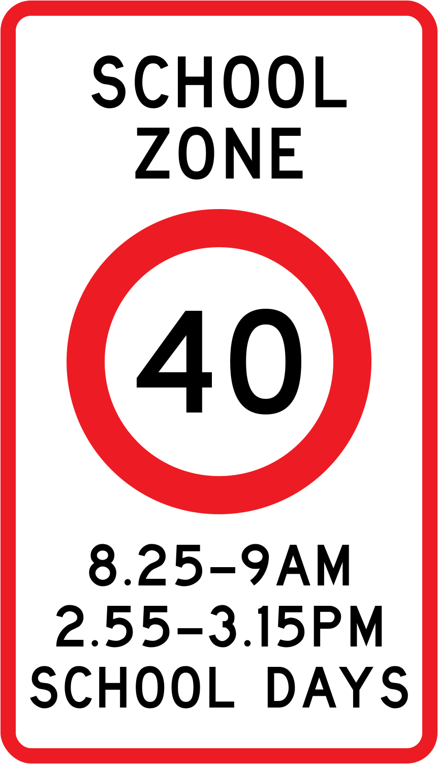 School zone speed 40 2016Code R1-6.1Speed limit of 40 km/h applies in a school zone during the hours shown on school days (2016–2022 version).
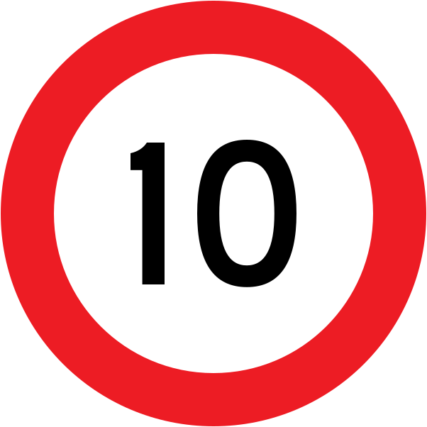 Speed limit 10Code R1-1-10Maximum speed limit of 10 km/h — vehicles must not exceed 10 kilometres per hour.
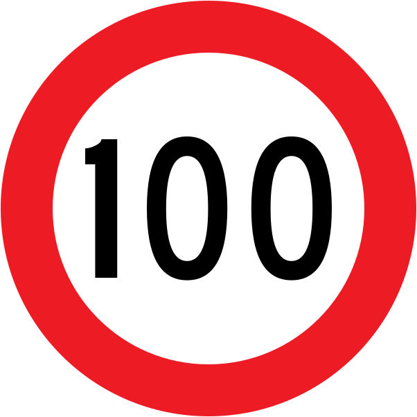 Speed limit 100Code R1-1.1Maximum speed limit of 100 km/h — vehicles must not exceed 100 kilometres per hour (standard open road limit).
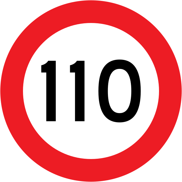 Speed limit 110Code R1-1.2Maximum speed limit of 110 km/h — vehicles must not exceed 110 kilometres per hour.
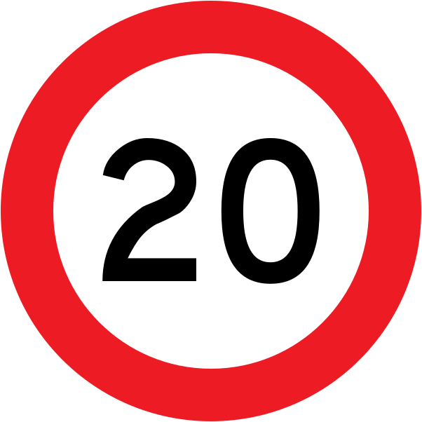 Speed limit 20Code R1-1-20Maximum speed limit of 20 km/h — vehicles must not exceed 20 kilometres per hour.
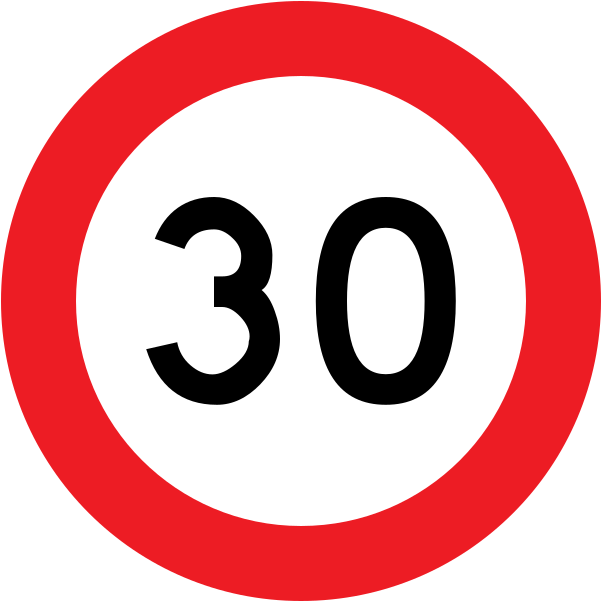 Speed limit 30Code R1-1-30Maximum speed limit of 30 km/h — vehicles must not exceed 30 kilometres per hour.
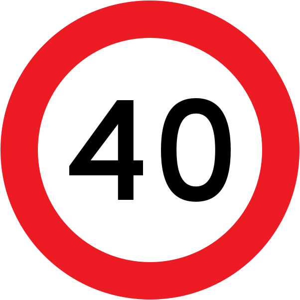 Speed limit 40Code R1-1-40Maximum speed limit of 40 km/h — vehicles must not exceed 40 kilometres per hour.
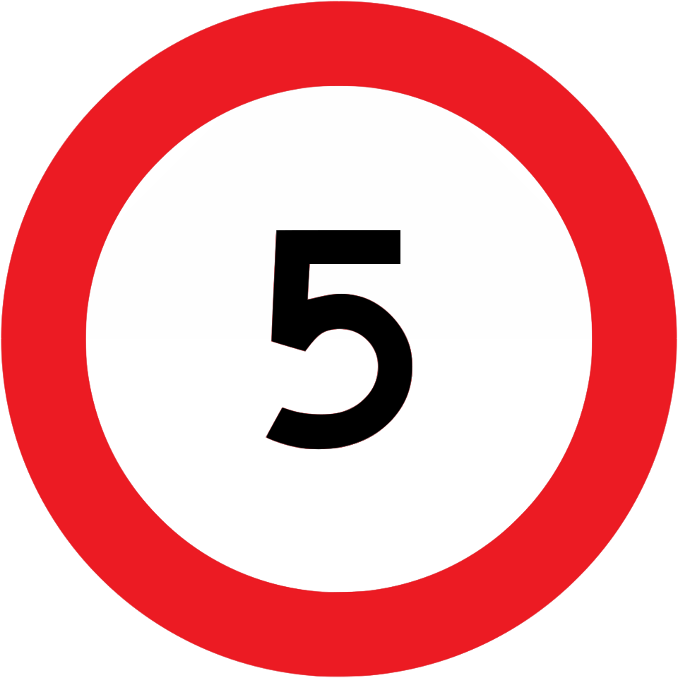 Speed limit 5Code R1-1-5Maximum speed limit of 5 km/h — vehicles must not exceed 5 kilometres per hour.
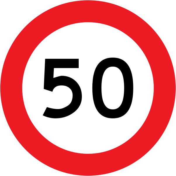 Speed limit 50Code R1-1-50Maximum speed limit of 50 km/h — vehicles must not exceed 50 kilometres per hour.
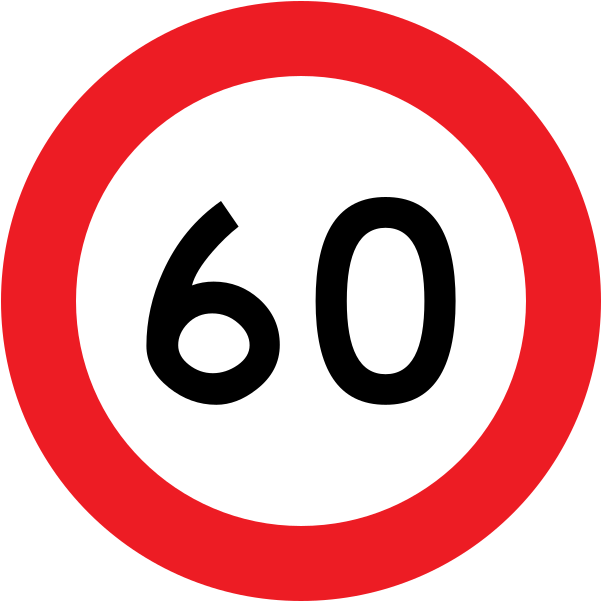 Speed limit 60Code R1-1-60Maximum speed limit of 60 km/h — vehicles must not exceed 60 kilometres per hour.
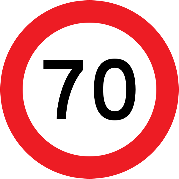 Speed limit 70Code R1-1-70Maximum speed limit of 70 km/h — vehicles must not exceed 70 kilometres per hour.
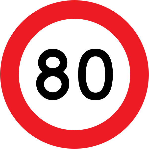 Speed limit 80Code R1-1-80Maximum speed limit of 80 km/h — vehicles must not exceed 80 kilometres per hour.
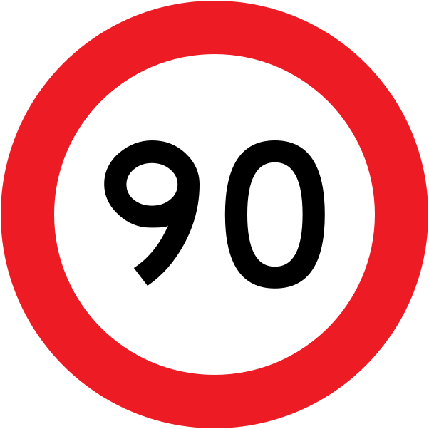 Speed limit 90Code R1-1-90Maximum speed limit of 90 km/h — vehicles must not exceed 90 kilometres per hour.
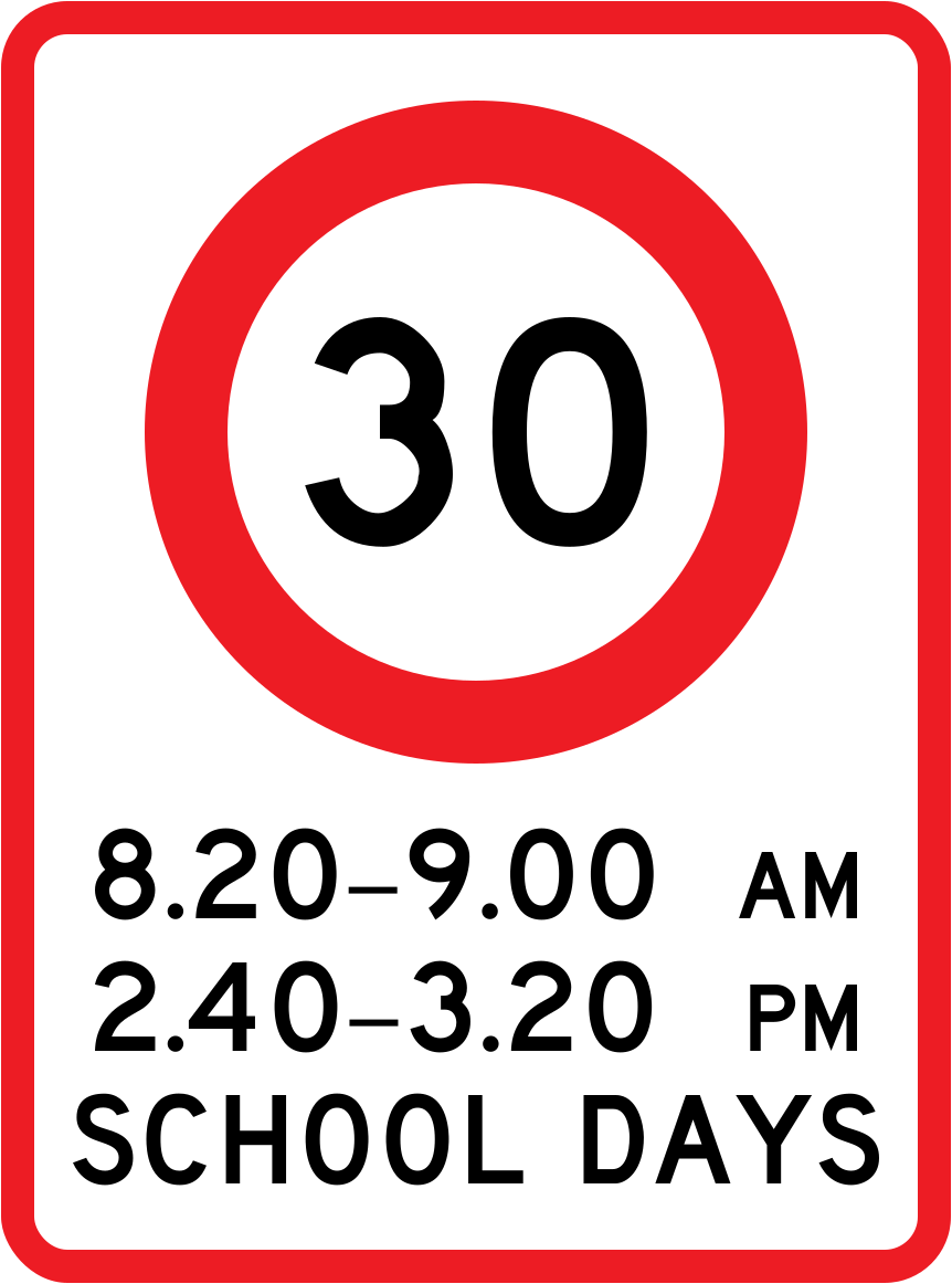 Variable speed limit schoolCode R1-6.1Variable school zone speed limit of 30 km/h, in force on school days during morning (8:20–9:00 AM) and afternoon (2:40–3:20 PM) hours.
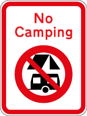 No campingCode RJ71No camping is permitted in this area.
Mandatory signs
24 signs Keep right roundel doubleCode RG-34-1Keep right — pass the obstruction or island on the right side (double roundel marker).
 Keep right roundel double altCode RG34.1Keep right — pass the obstruction or island on the right side (alternate double roundel marker).
 EntryEntry point to a car park, facility, or controlled area; vehicles may enter through this point.
 Entry onlyEntry only — vehicles must enter through this point and cannot exit here; used in one-way car park access.
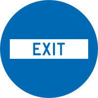 ExitExit point from a car park, facility, or controlled area; vehicles may exit through this point.
 Lane direction bothCode R6-10.1Lane may be used in both directions; indicates a reversible or shared lane applicable to both left and right (current version).
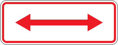 Lane direction both 1989Code R6-10.1Lane may be used in both directions; indicates a reversible or shared lane applicable to both left and right (1989–2016 version).
 Lane direction leftCode R6-10.1Lane applies to or direction indicator points left (current version).
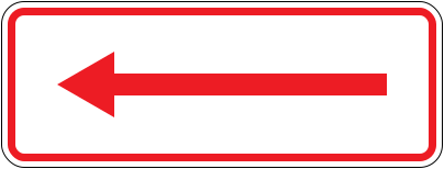 Lane direction left 1989Code R6-10.1Lane applies to or direction indicator points left (1989–2016 version).
 Lane direction rightCode R6-10.1Lane applies to or direction indicator points right (current version).
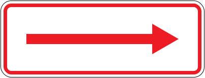 Lane direction right 1989Code R6-10.1Lane applies to or direction indicator points right (1989–2016 version).
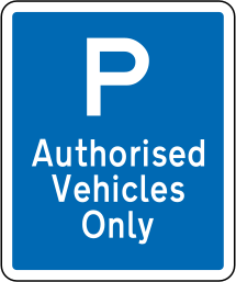 Parking authorised vehicles onlyParking sign restricting use of the parking area to authorised vehicles only.
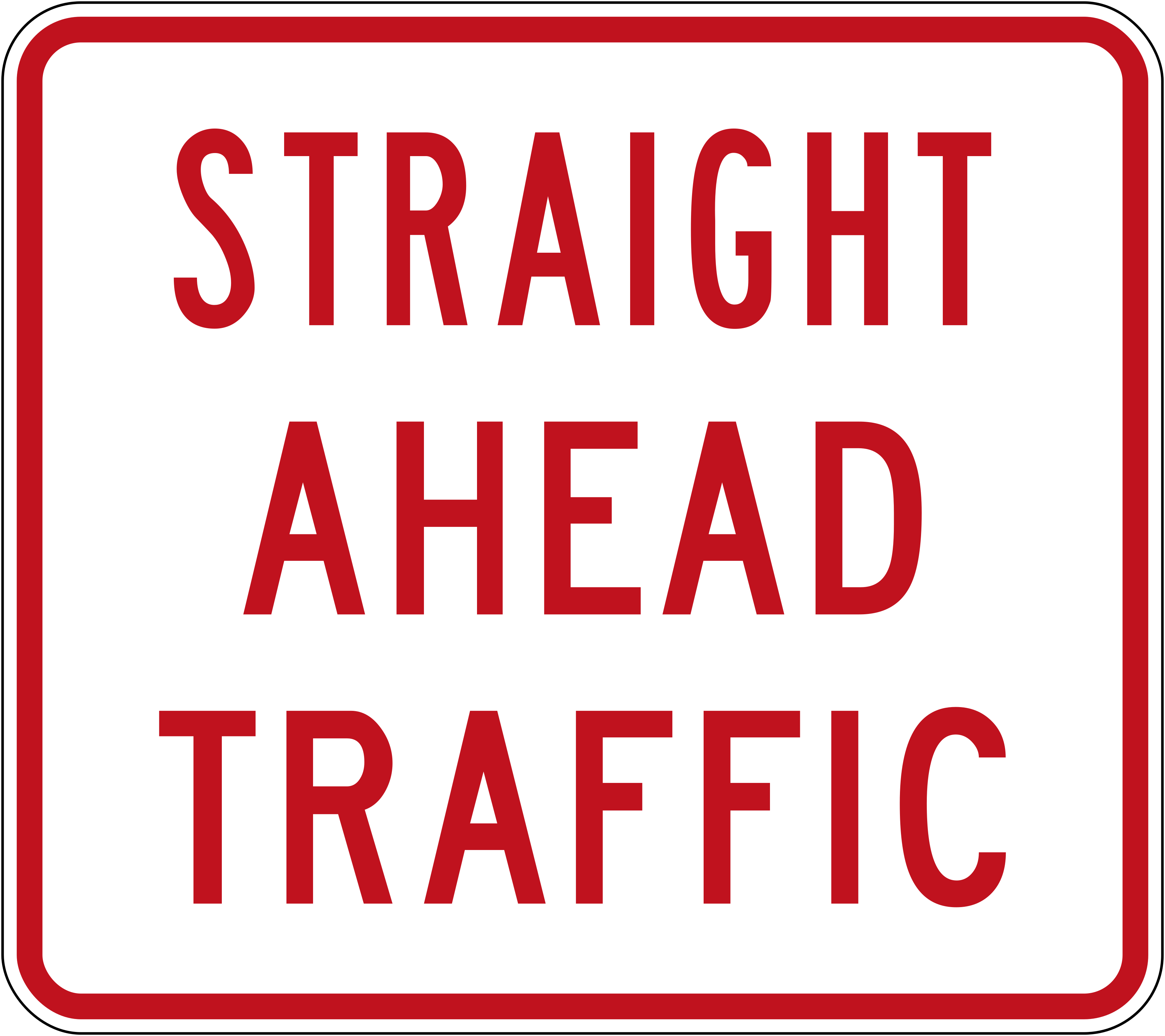 Straight ahead trafficCode R2-2.2Lane reserved for straight-ahead traffic only.
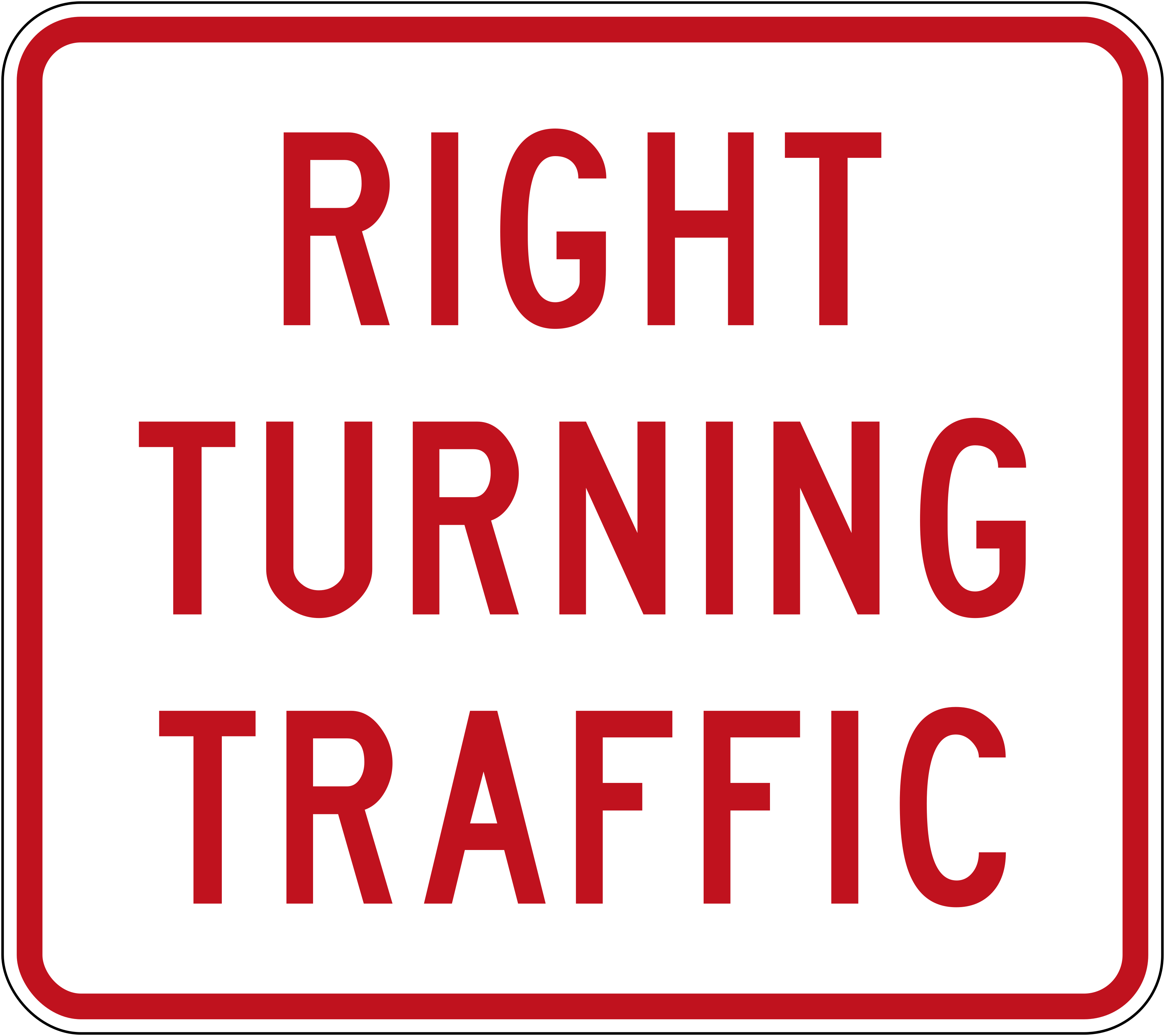 Right turning trafficCode R2-2.3Lane reserved for right-turning traffic only.
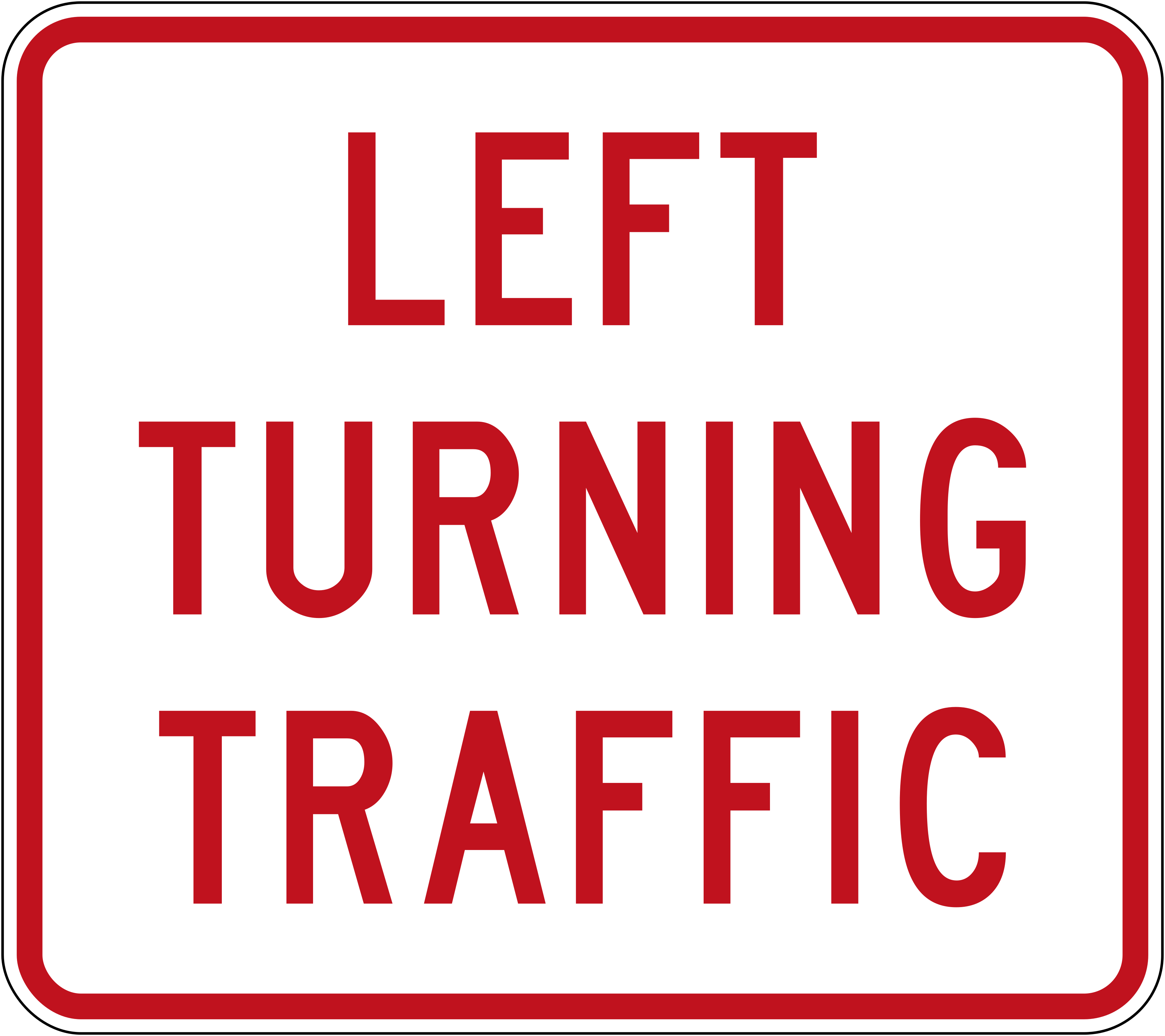 Left turning trafficCode R2-2.4Lane reserved for left-turning traffic only.
 To cyclistsCode R2-2.5Lane or instruction applies to cyclists only.
 To cyclists pedestriansCode R2-2.6Lane or instruction applies to cyclists and pedestrians.
 Alt lane controlCode R4-4Alternative overhead lane control signal configuration (R4-4); source image contains no visible content.
 Lane openCode R4-4Overhead lane control signal showing a green downward arrow, indicating the lane is open to traffic.
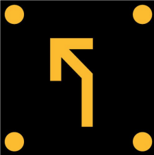 Alt lane controlCode R4-5Overhead lane control signal showing an amber left-turn arrow with corner dots, indicating the lane is open to traffic turning left (alternative configuration).
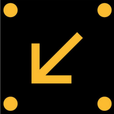 Left lane controlCode R4-5Overhead lane control signal showing an amber arrow pointing diagonally to the lower-left, indicating drivers must move to the left lane.
 Right lane controlCode R4-5Overhead lane control signal showing an amber arrow pointing diagonally to the lower-right, indicating drivers must move to the right lane.
 Lane closedCode R4-6Overhead lane control signal showing a red X, indicating the lane is closed to traffic.
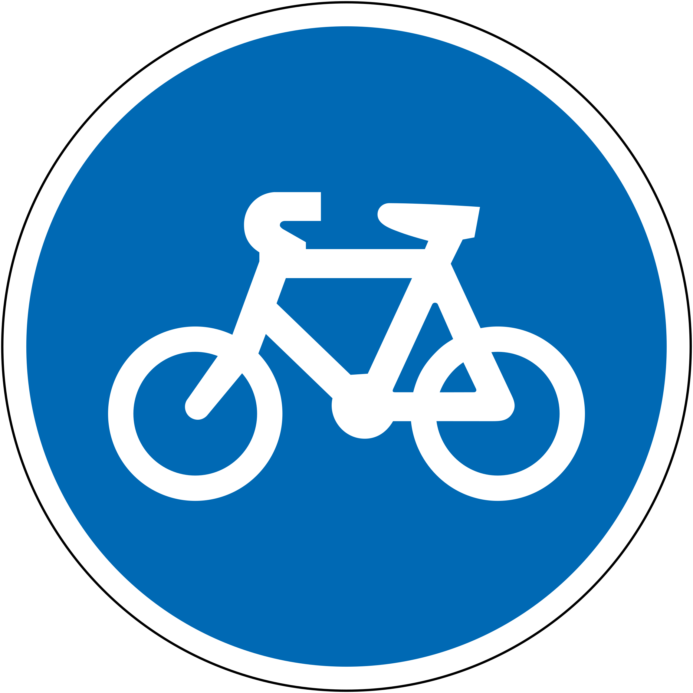 Cycle laneCode RG-25AMandatory cycle lane or cycle path ahead; cyclists must use this route.
Special regulation signs
24 signs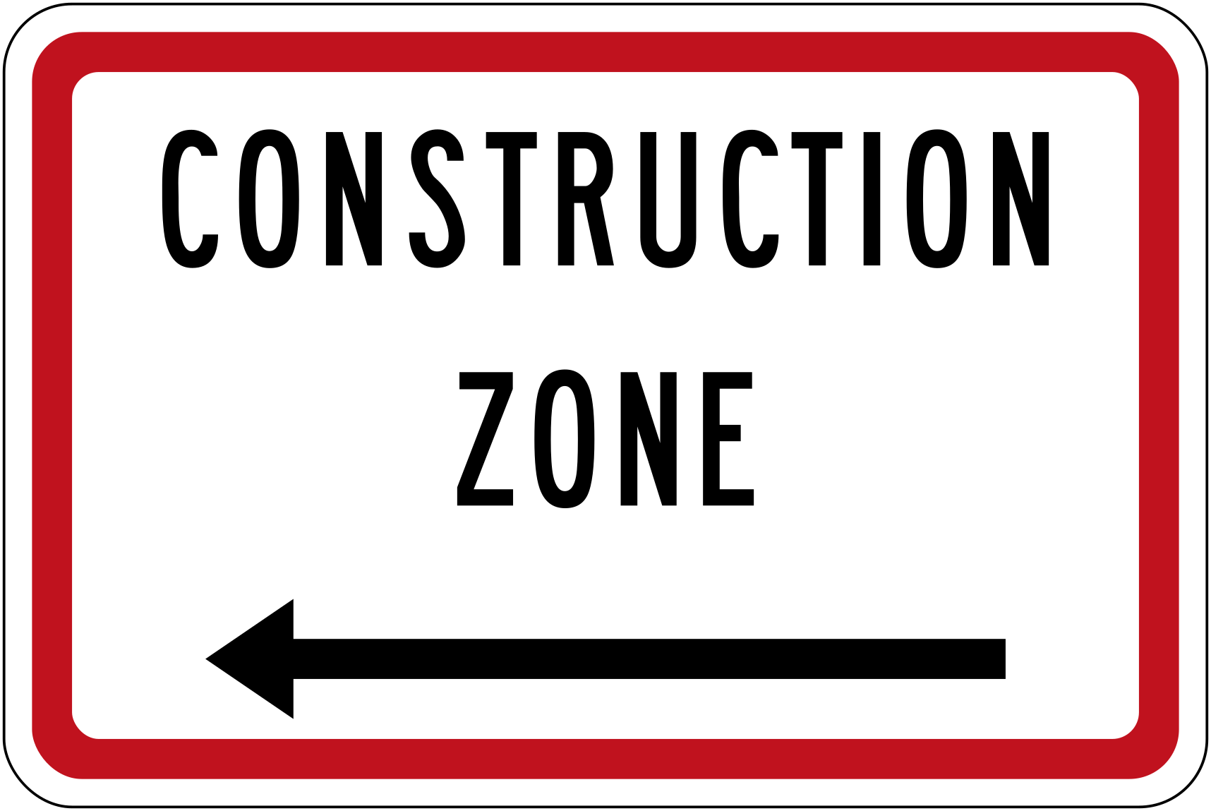 Construction zone leftCode A41-3LConstruction zone with directional arrow pointing left; indicates the construction zone boundary or detour direction to the left.
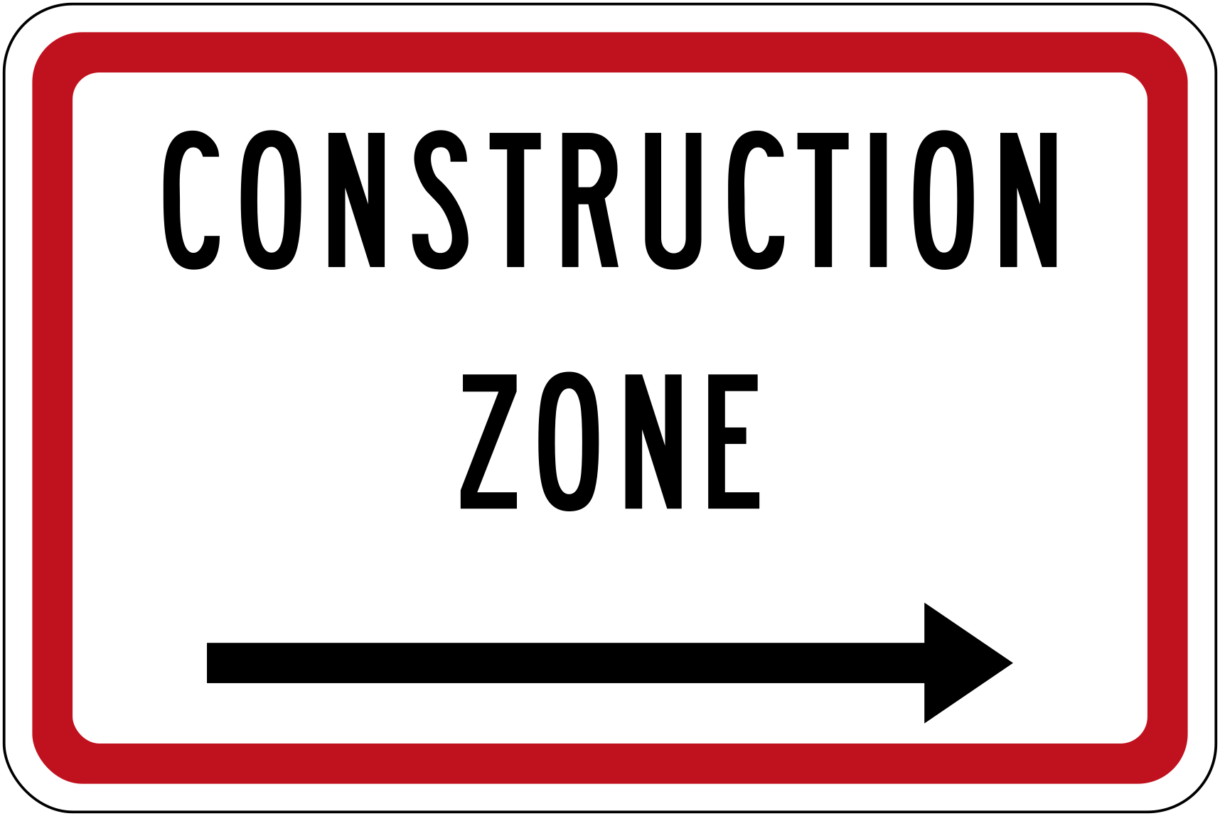 Construction zone rightCode A41-3RConstruction zone with directional arrow pointing right; indicates the construction zone boundary or detour direction to the right.
 Learner driver plateLearner driver plate (L plate) that must be displayed on vehicles driven by learner licence holders.
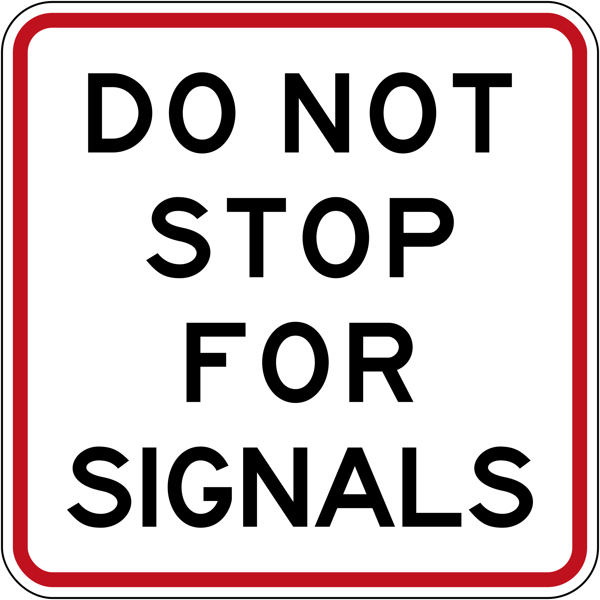 Do not stop for signalsCode R4-13.2Do not stop for signals — used where a crossing or intersection has separate signal phases.
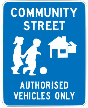 Community streetCode RD76Community Street sign indicating a shared residential zone where authorised vehicles only are permitted.
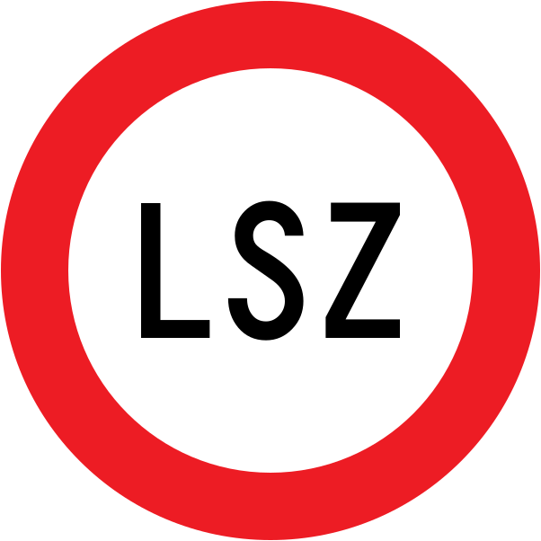 LszCode RG-3Limited Speed Zone (LSZ) — the default speed limit within this zone is 50 km/h unless conditions (pedestrians, animals, poor visibility) require a lower speed.
 Route hamilton ring roadHamilton Ring Road route marker shield indicating the Hamilton Ring Road bypass route.
 Route western ring roadWestern Ring Road route marker indicating the Western Ring Road motorway route in Auckland.
 Touring route adventure highwayAdventure Highway touring route marker for the NZ Touring Route through the central North Island mountains.
 Touring route pacific coast highwayPacific Coast Highway touring route marker for the NZ Touring Route along the east coast.
 Touring route southern scenic routeSouthern Scenic Route touring route marker for the NZ Touring Route through Southland and Otago.
 Touring route starlight highwayStarlight Highway touring route marker for the NZ Touring Route through the dark-sky Mackenzie region.
 Touring route thermal explorerThermal Explorer Highway touring route marker for the NZ Touring Route through the geothermal Rotorua region.
 Touring route twin coastTwin Coast Discovery Highway touring route marker for the NZ Touring Route across Northland between the Tasman and Pacific coasts.
 Touring route volcanic loopVolcanic Loop Highway touring route marker for the NZ Touring Route around the central North Island volcanic plateau.
 Touring route wine trailWine Trail touring route marker for the NZ Touring Route through wine-producing regions.
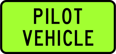 Vehicle mounted pilot vehicleIdentifies this vehicle as a pilot (escort) vehicle accompanying an oversize or overdimension load.
 Vehicle mounted school busVehicle-mounted sign identifying this vehicle as a school bus; other road users must take extra care.
 Vehicle mounted school bus signalsSchool bus signals display showing flashing amber and children crossing pictogram, warning drivers that children are boarding or alighting.
 Vehicle mounted school vehicle 1Vehicle-mounted School sign (variant 1) identifying this vehicle as a school transport vehicle carrying children.
 Vehicle mounted school vehicle 2Vehicle-mounted school vehicle sign (variant 2) showing children crossing silhouette on fluorescent green background, identifying a school transport vehicle.
 Wine trail marker brownClassic New Zealand Wine Trail route marker in brown, displaying a white grape bunch symbol.
 Wine trail marker dark redClassic New Zealand Wine Trail route marker in dark red, displaying a white grape bunch symbol.
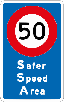 Safer speed area 50Code RS5550 km/h Safer Speed Area — indicates a designated lower-speed zone for road safety.
Information signs
158 signs No exit bladeIndicates there is no exit at this road or lane; drivers must not enter expecting a through route.
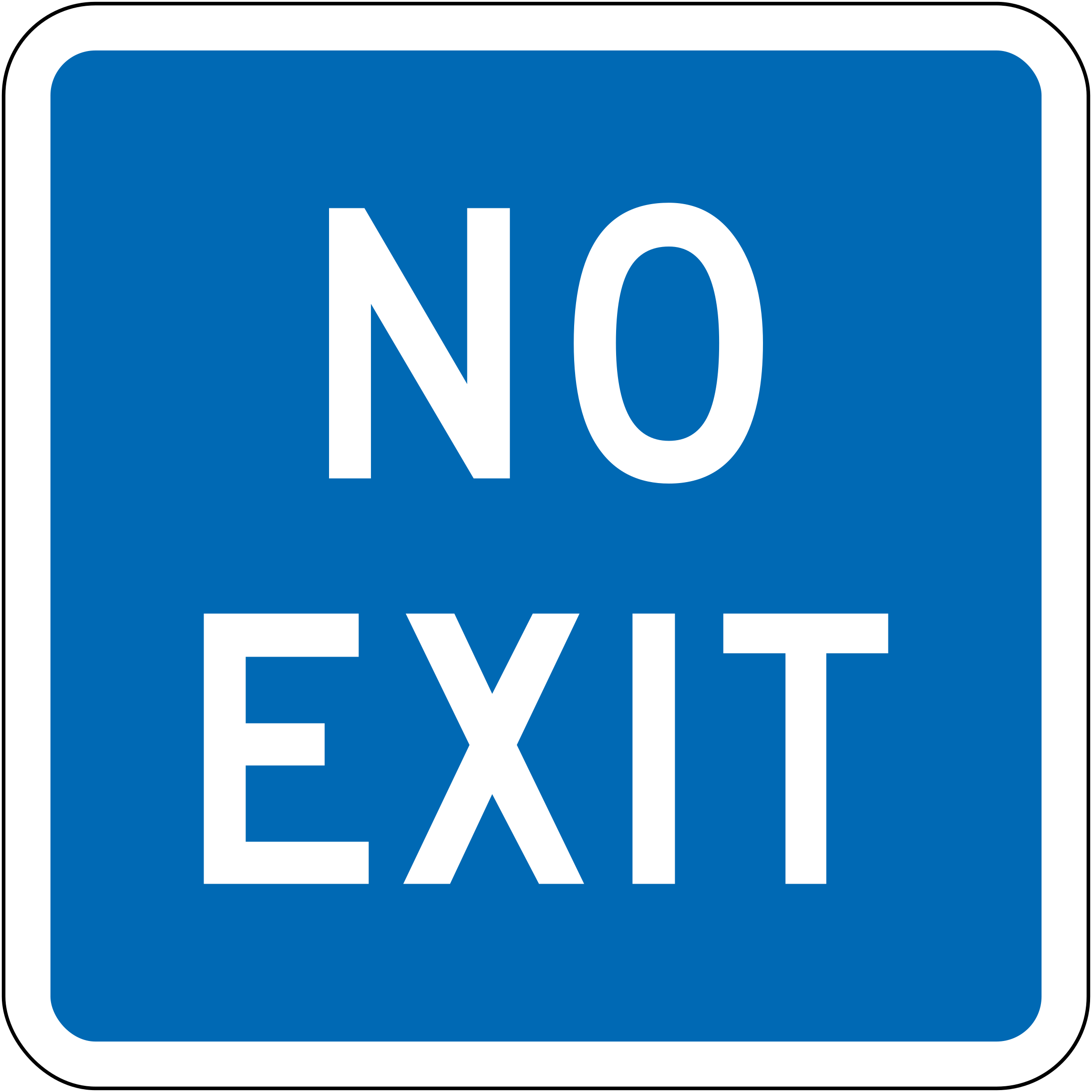 Blue no exitCode A40-1No exit (blue variant) — this road or area has no through route; used in motorway or expressway contexts.
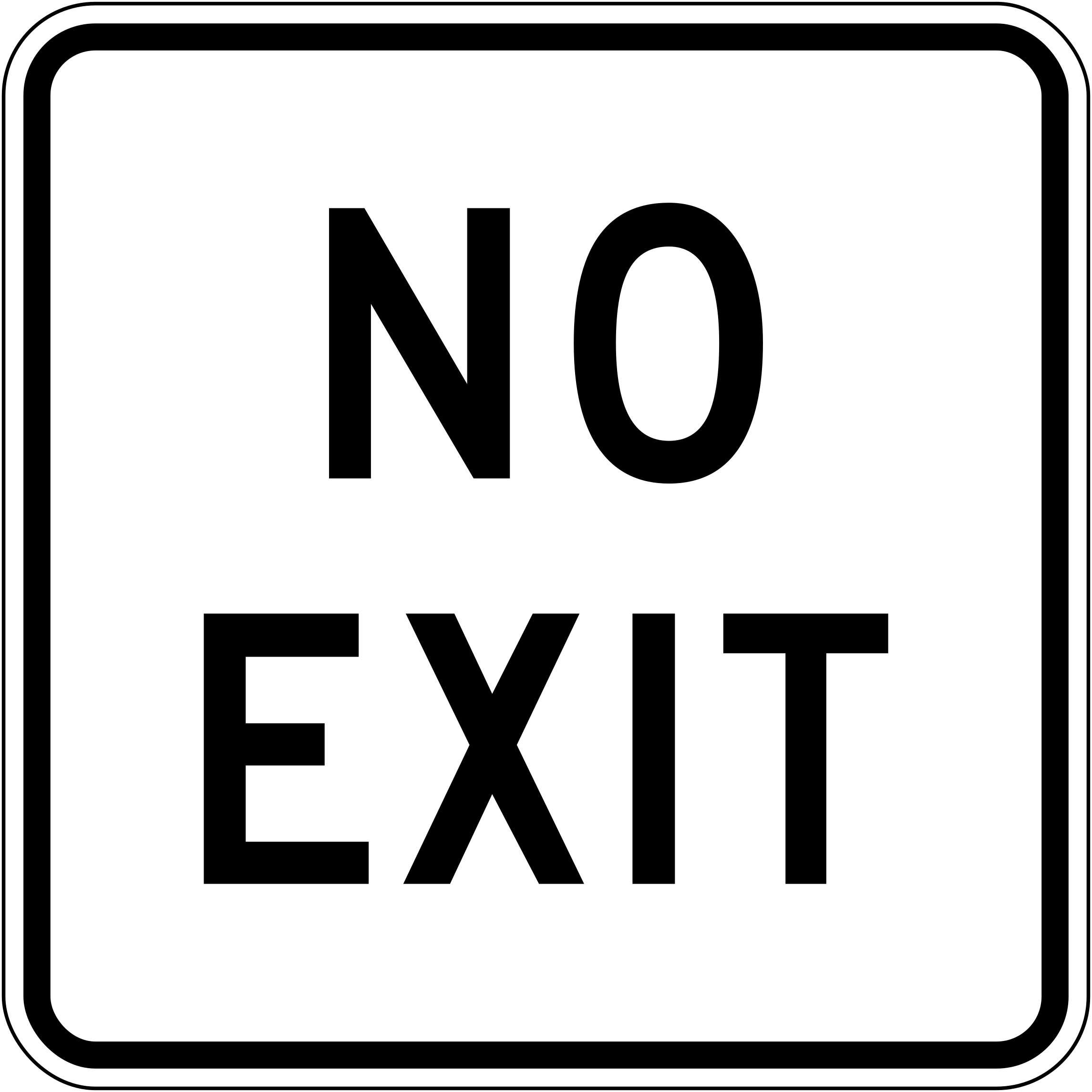 No exitCode A40-1No exit — this road or area has no through route; vehicles must turn back.
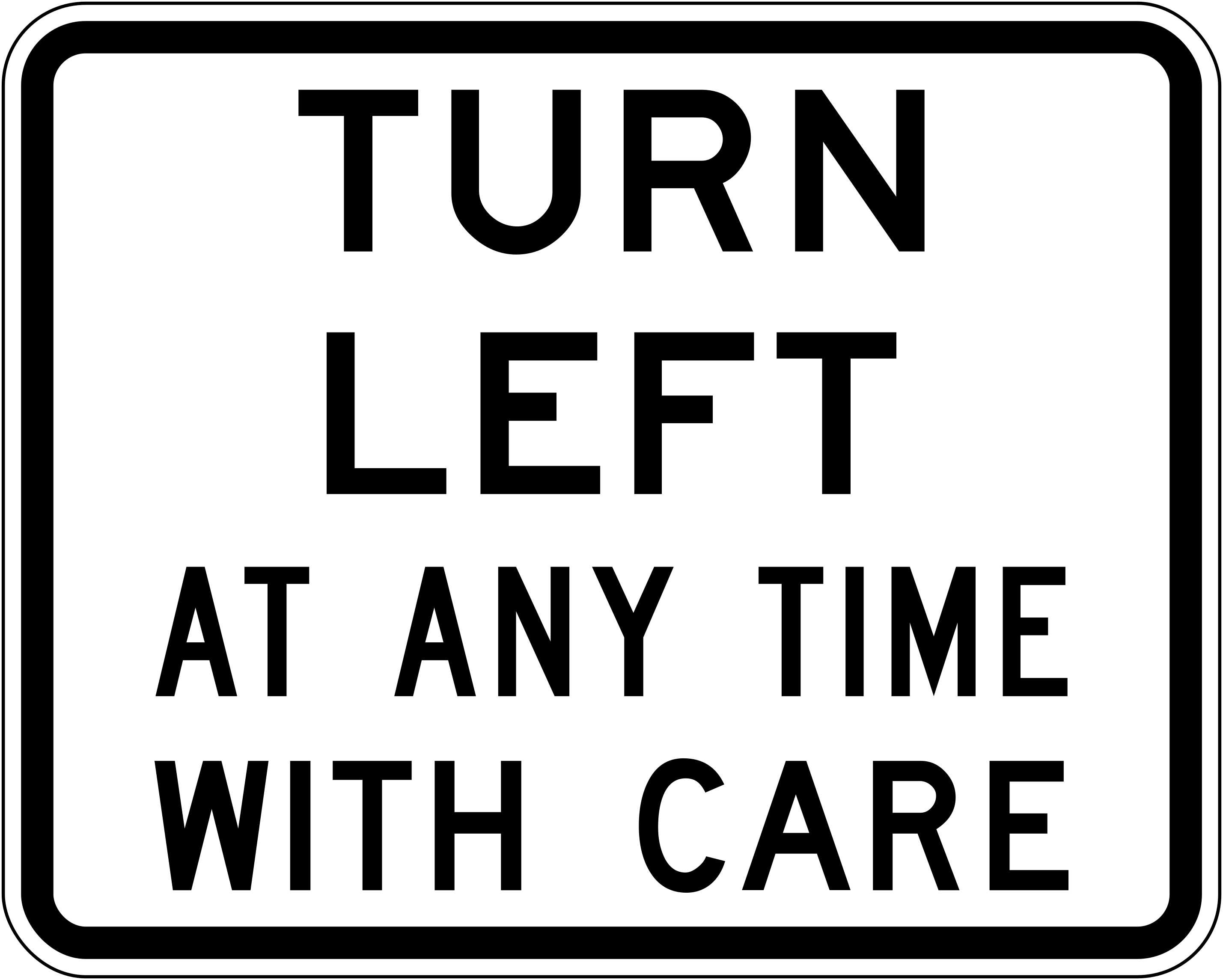 Turn left with careCode A40-2Turn left at any time with care — drivers may turn left even when the traffic signal is red, but must give way to all other traffic.
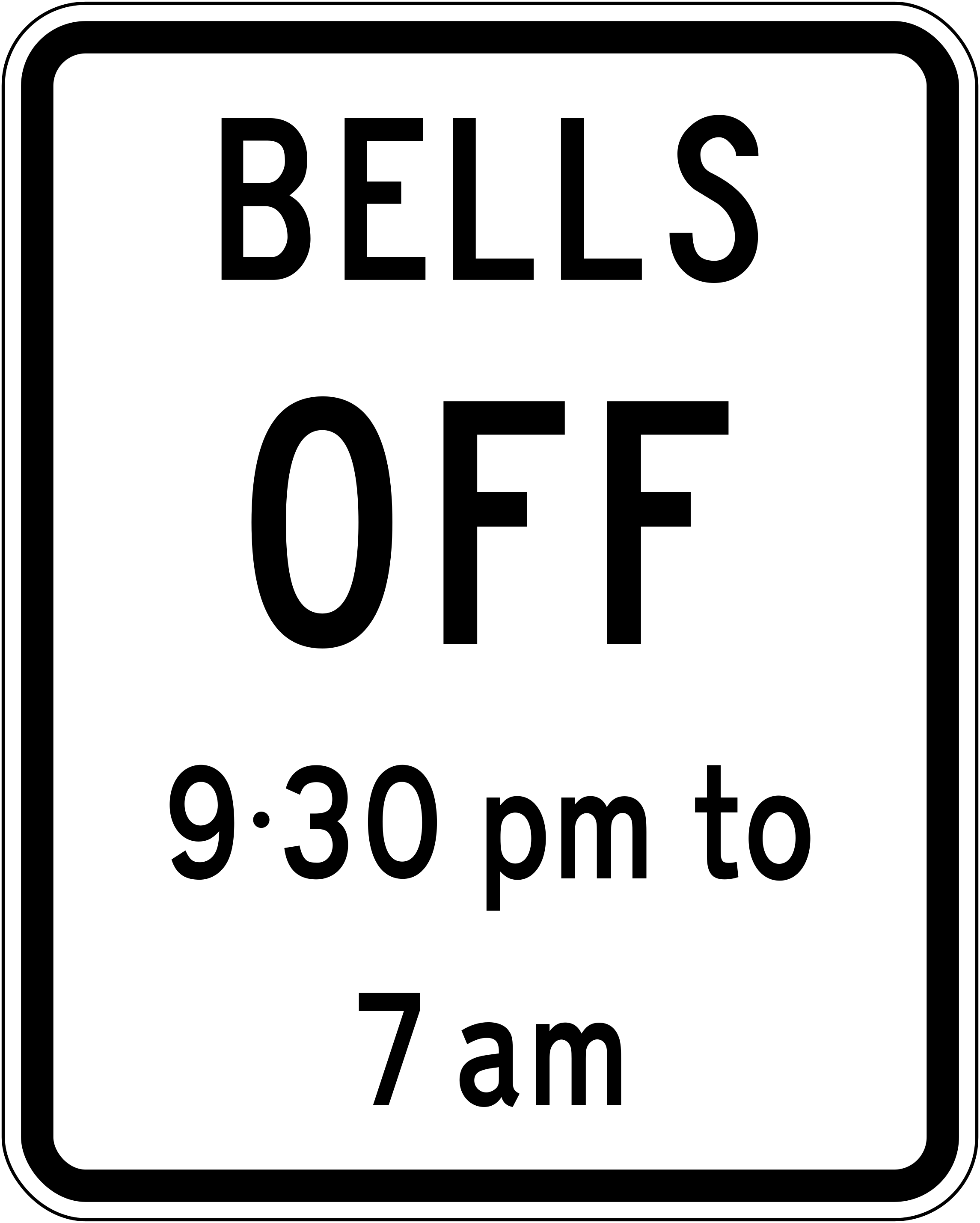 Bells offCode A40-3Level crossing bells off during night hours (9:30 pm to 7 am); audible warning bells will not sound during these times.
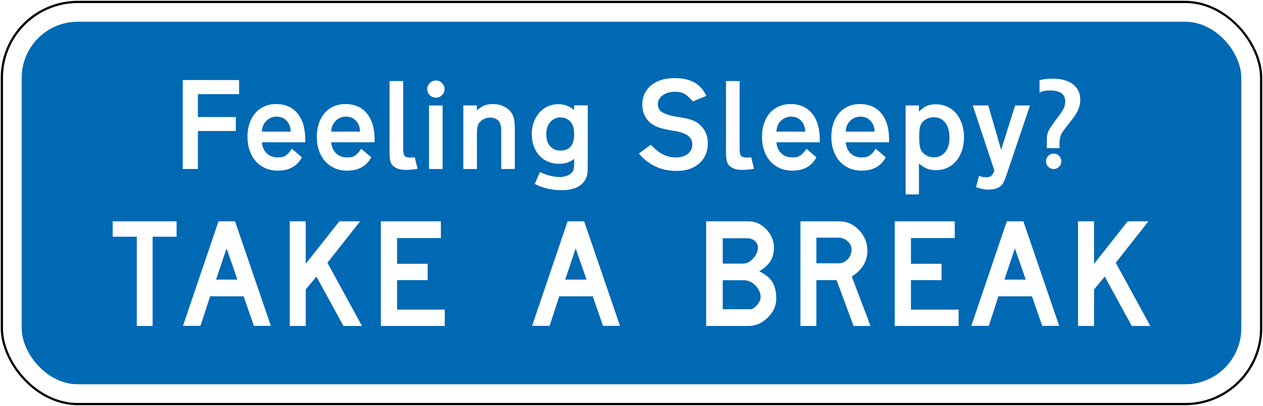 Feeling sleepyCode A40-5Fatigue advisory sign encouraging drowsy drivers to stop and take a break to prevent fatigue-related crashes.
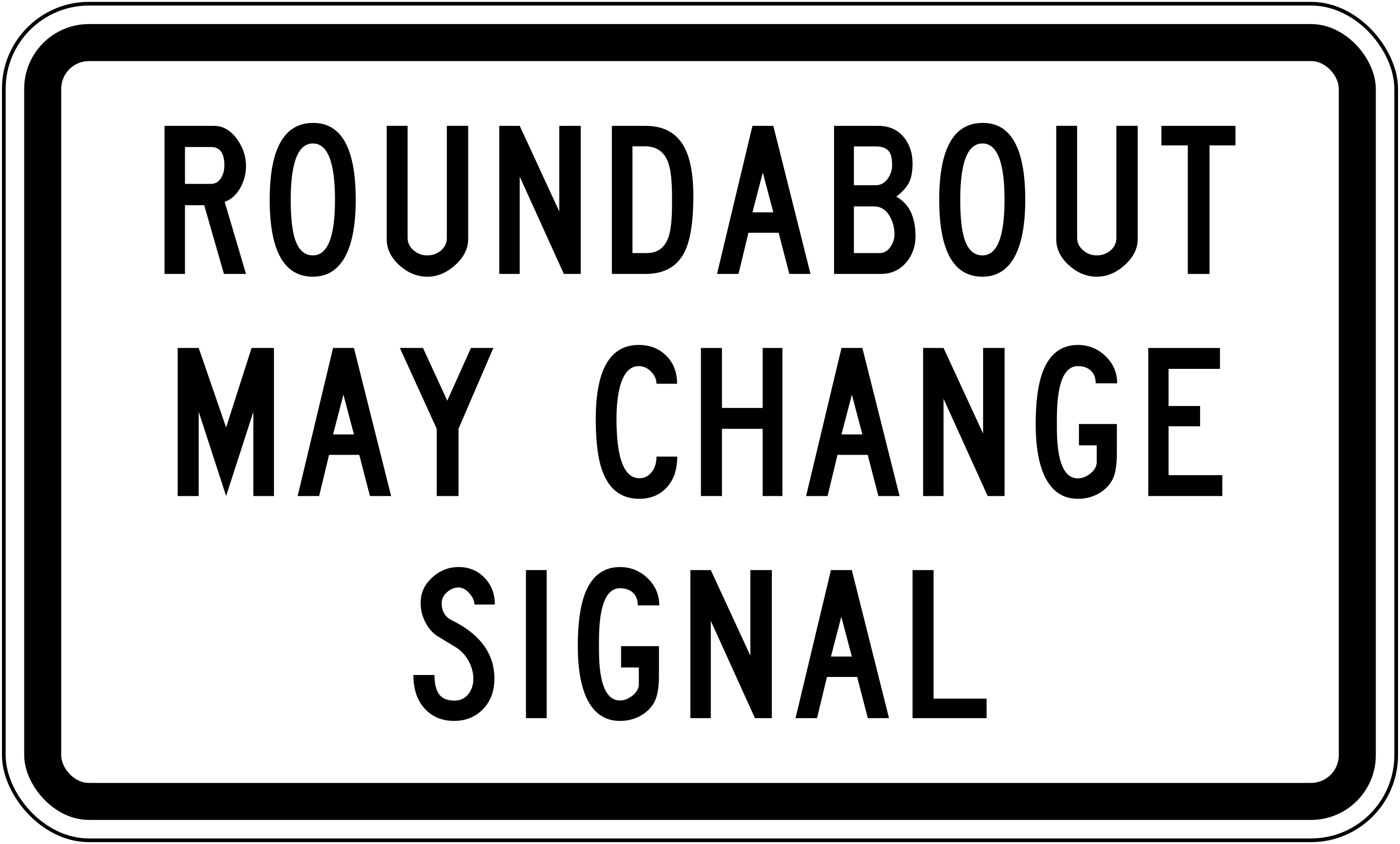 Roundabout may change signalCode A40-6Informs drivers that the roundabout ahead may be controlled by traffic signals which can change; comply with signal indications.
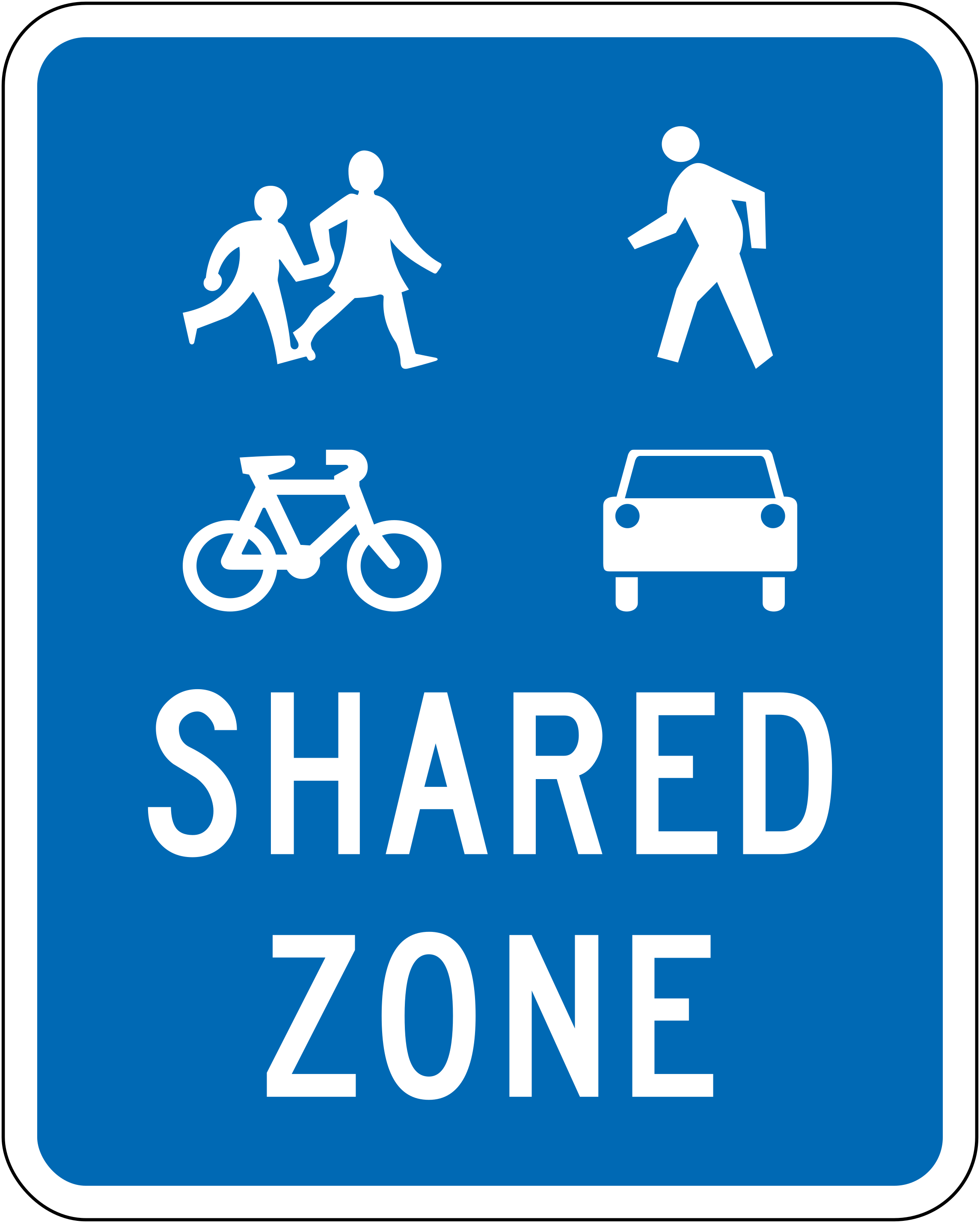 Shared zoneCode A40-7Shared zone — the area is shared by pedestrians, cyclists and vehicles travelling at low speed; all users have equal priority.
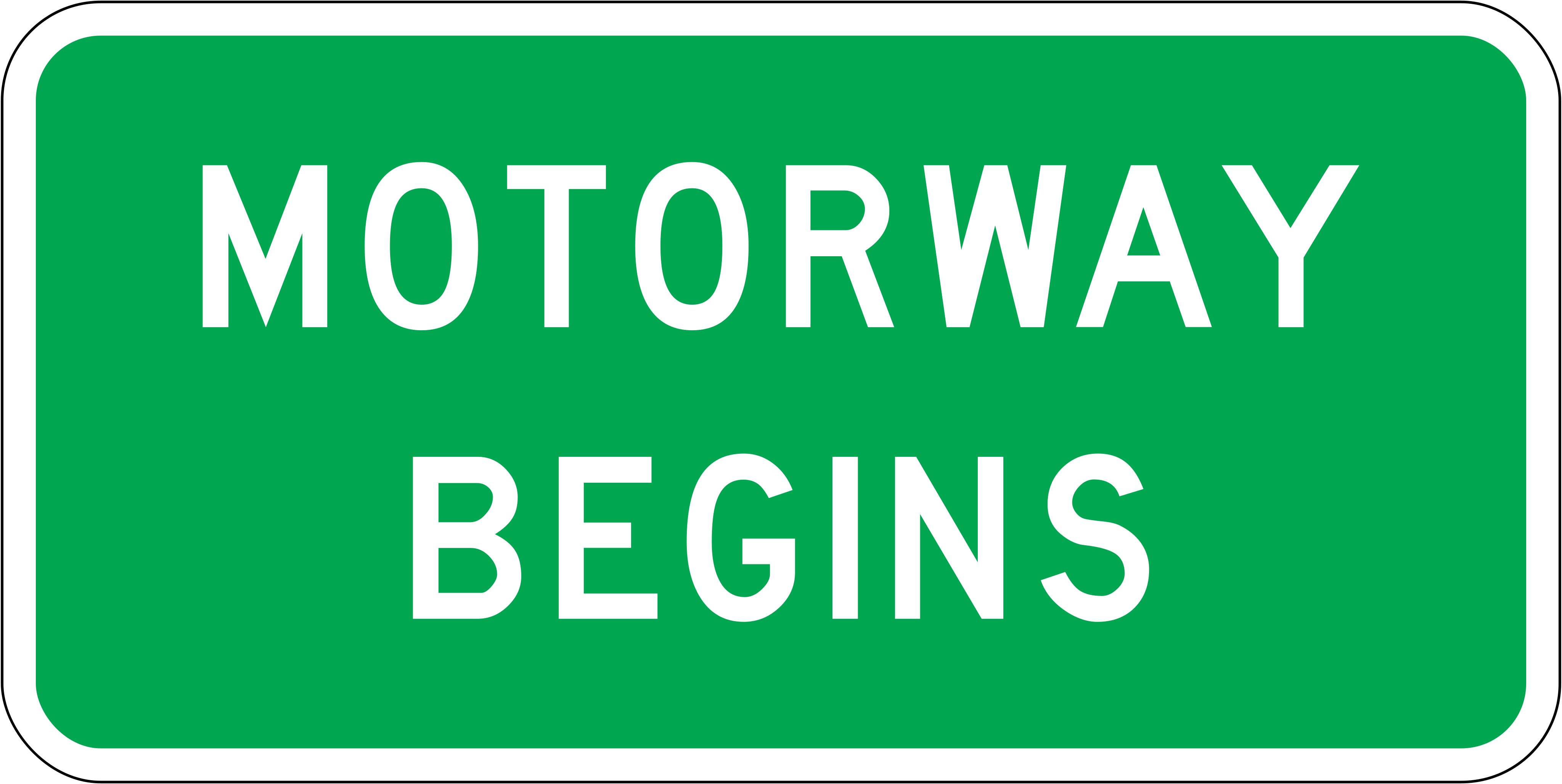 Motorway ends 100mCode A41-1.1Motorway ends in 100 metres; drivers should prepare to leave the motorway and comply with general road rules.
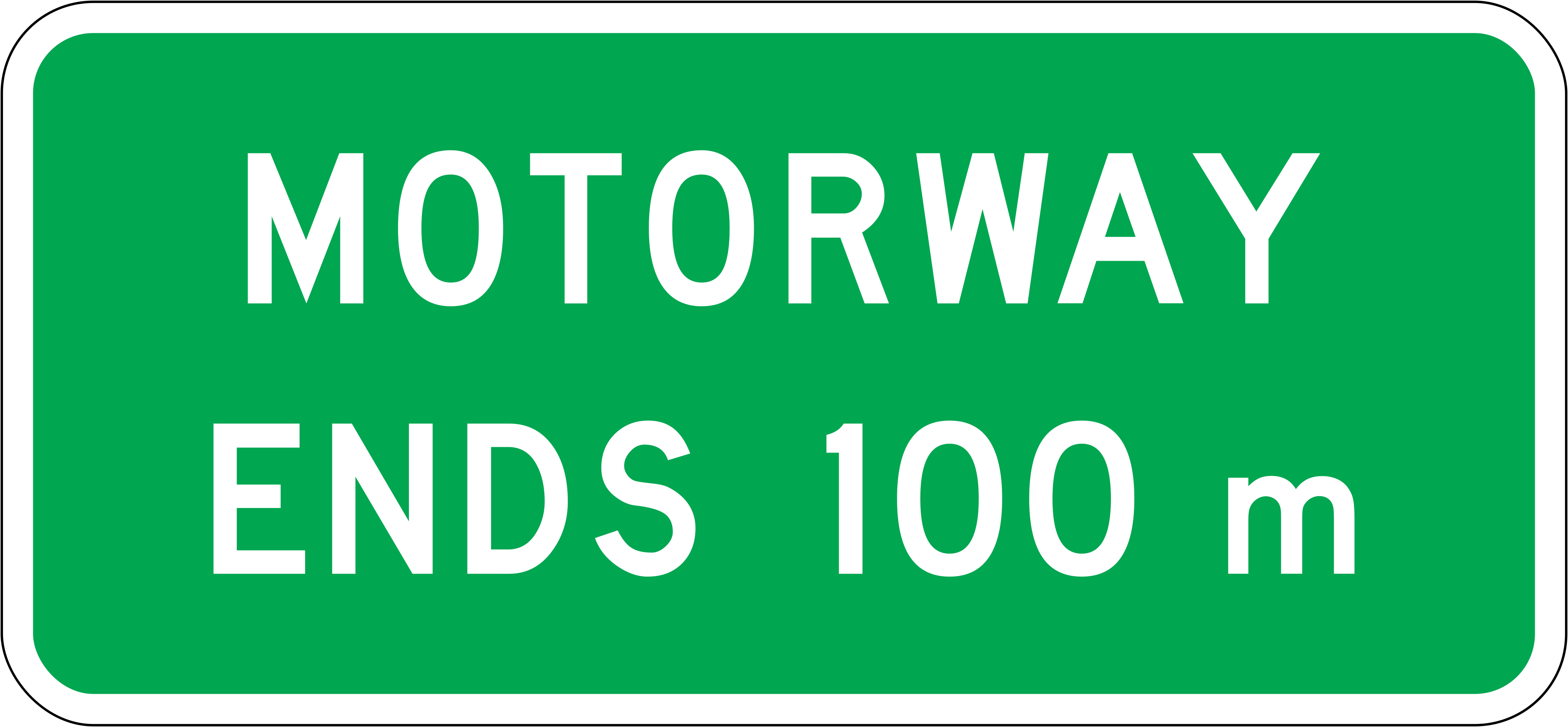 Motorway endsCode A41-1.2Motorway ends at this point; motorway rules no longer apply from here.
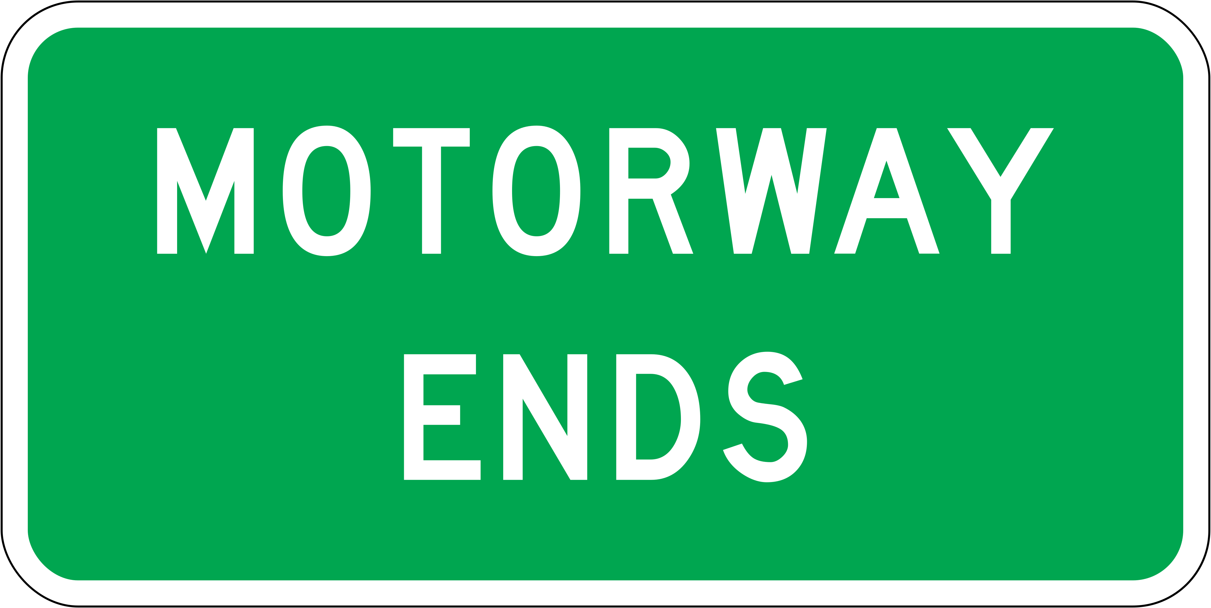 Motorway ends altCode A41-1.3AMotorway ends (alternate larger format); motorway rules no longer apply from this point.
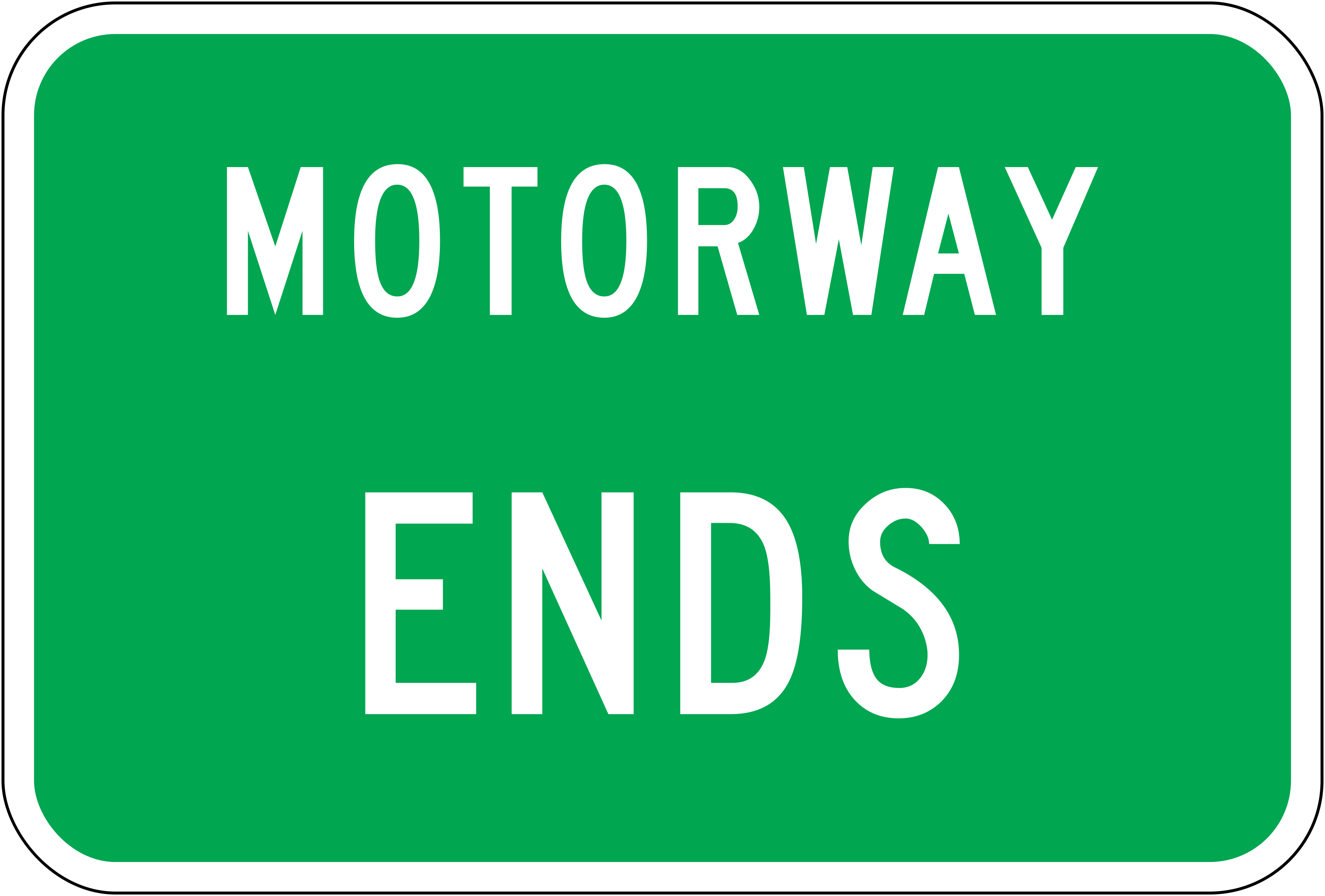 MotorwayCode A41-1.3BMotorway identification sign indicating that the road ahead is a motorway.
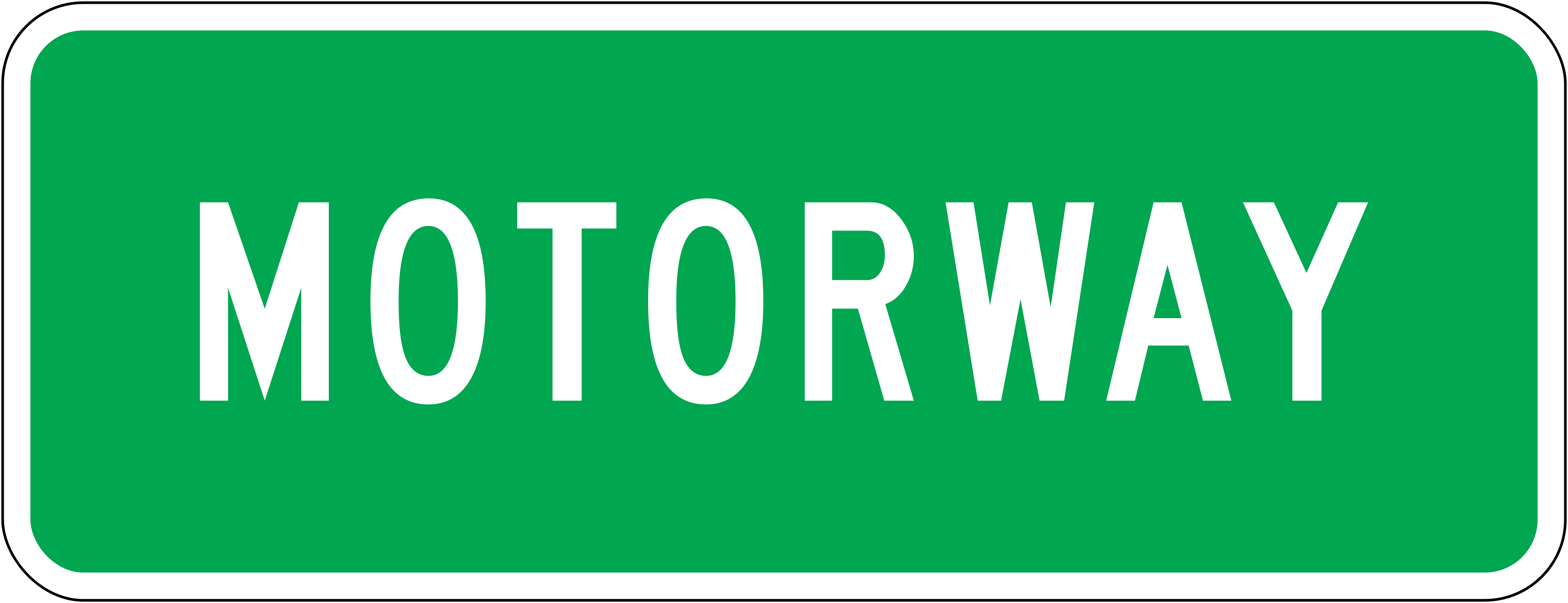 Motorway beginsCode A41-1Motorway begins — motorway rules apply from this point; no stopping except in an emergency.
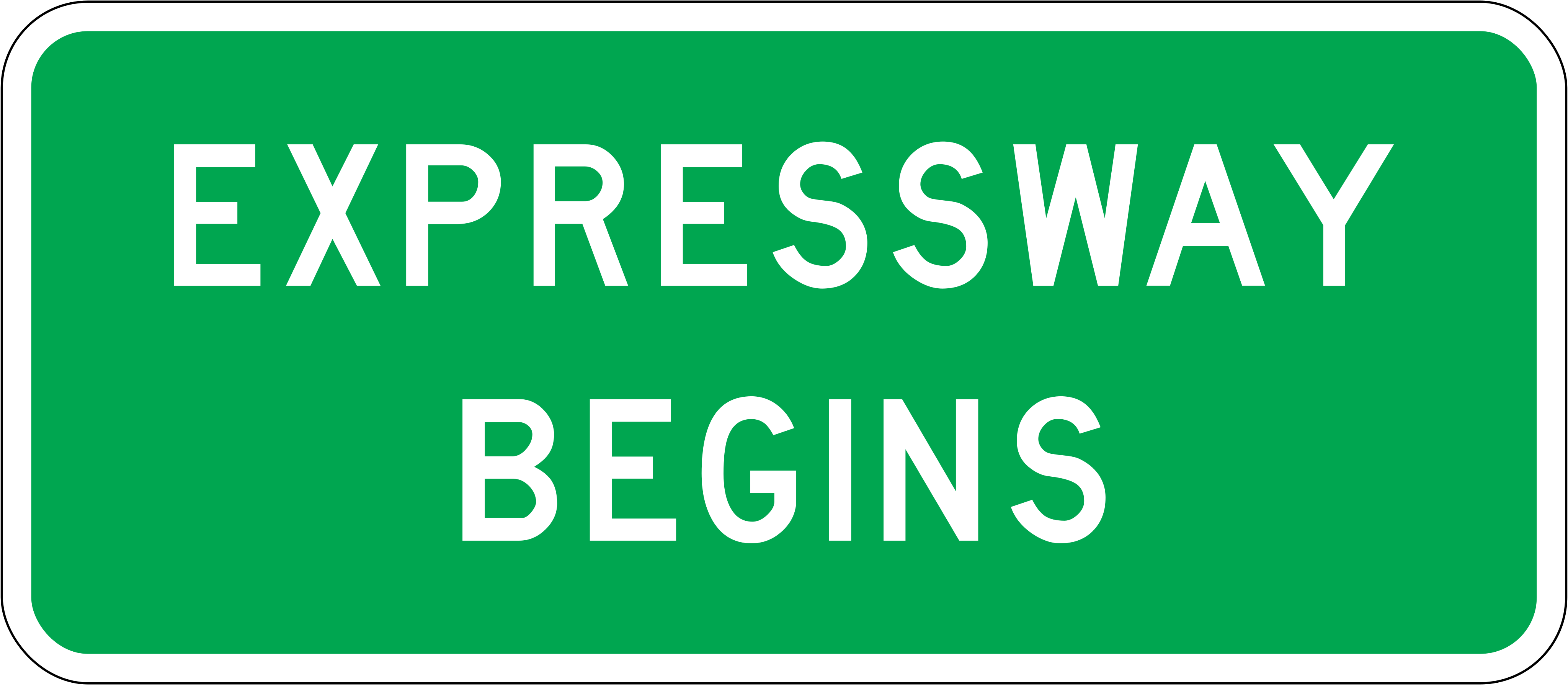 Expressway ends 100mCode A41-2.1Expressway ends in 100 metres; drivers should prepare for the end of expressway conditions.
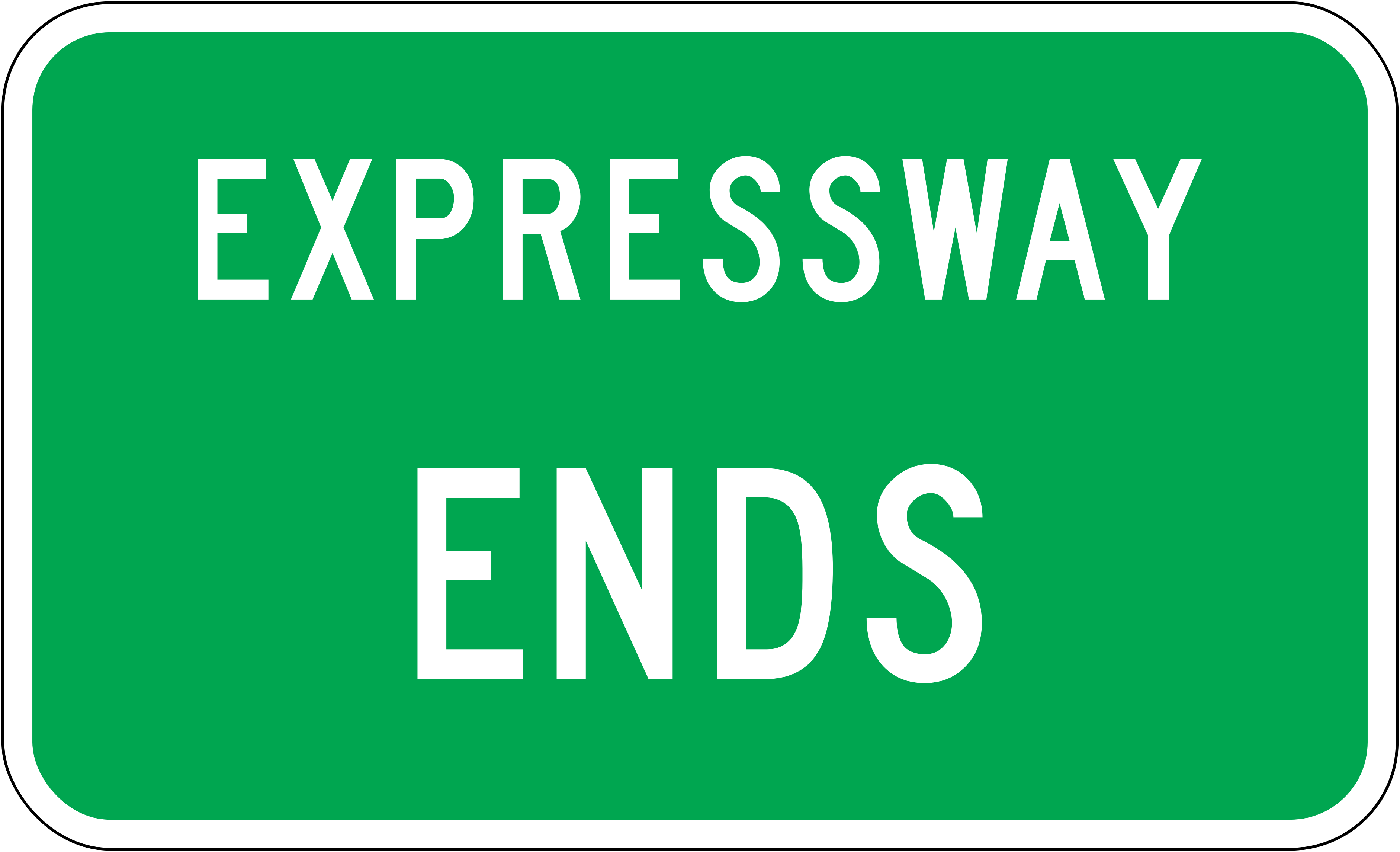
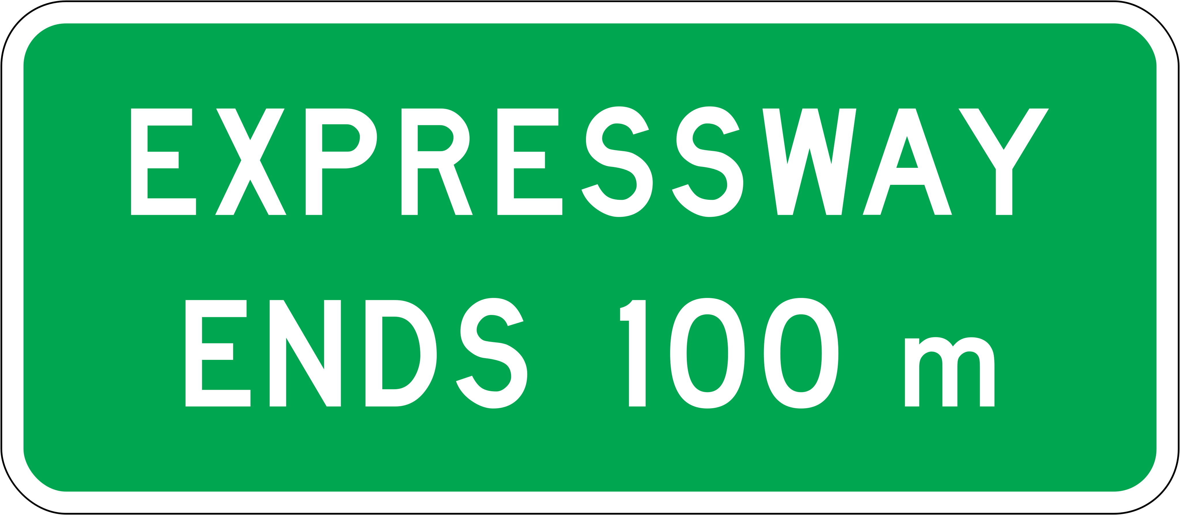 Expressway endsCode A41-2.2Expressway ends at this point; expressway rules no longer apply.
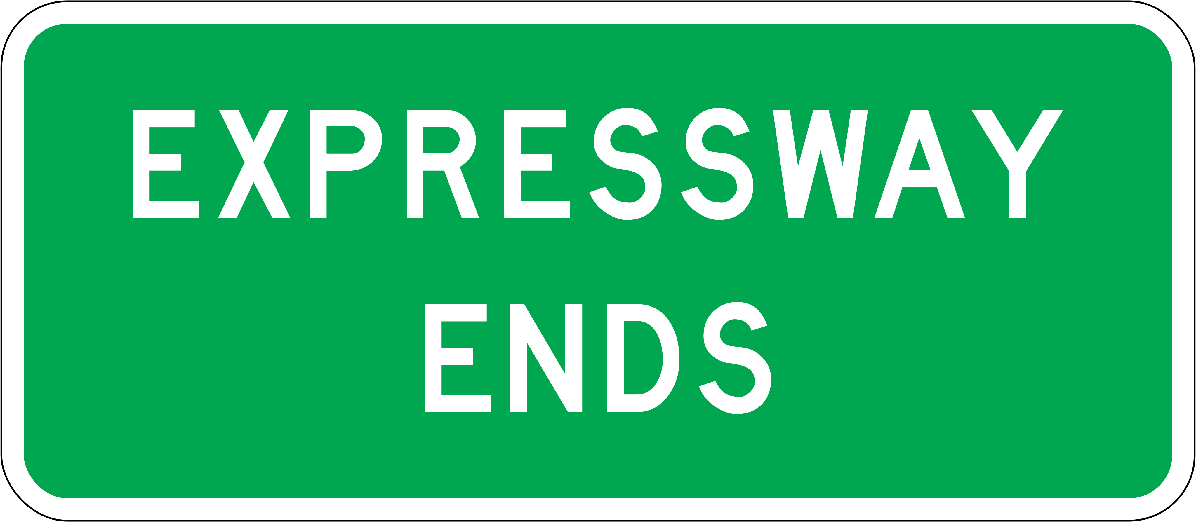 Expressway ends altCode A41-2.3AExpressway ends (alternate larger format); expressway rules no longer apply from this point.
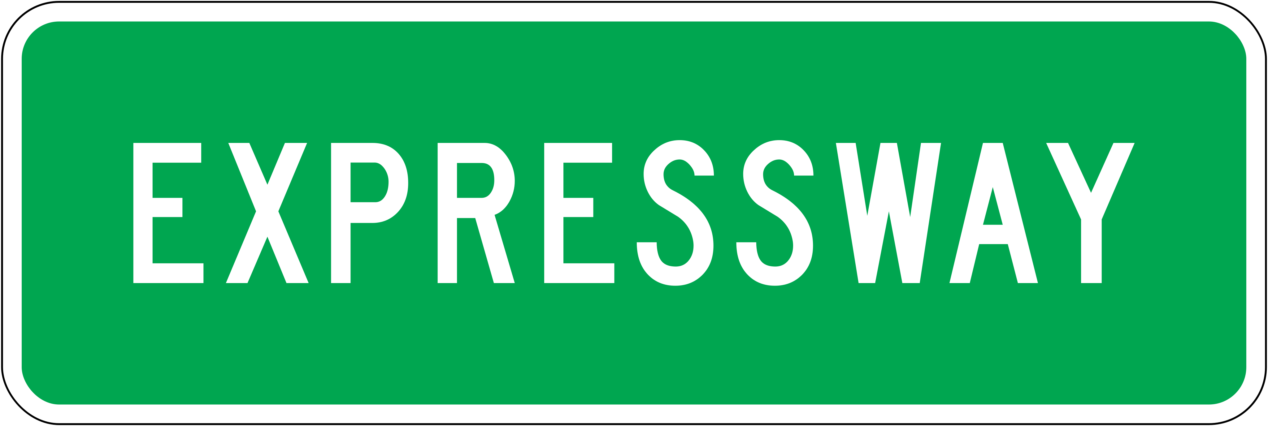
 ExpresswayCode A41-2.3BExpressway identification sign indicating that the road ahead is an expressway.
 Expressway beginsCode A41-2Expressway begins — expressway rules apply from this point.
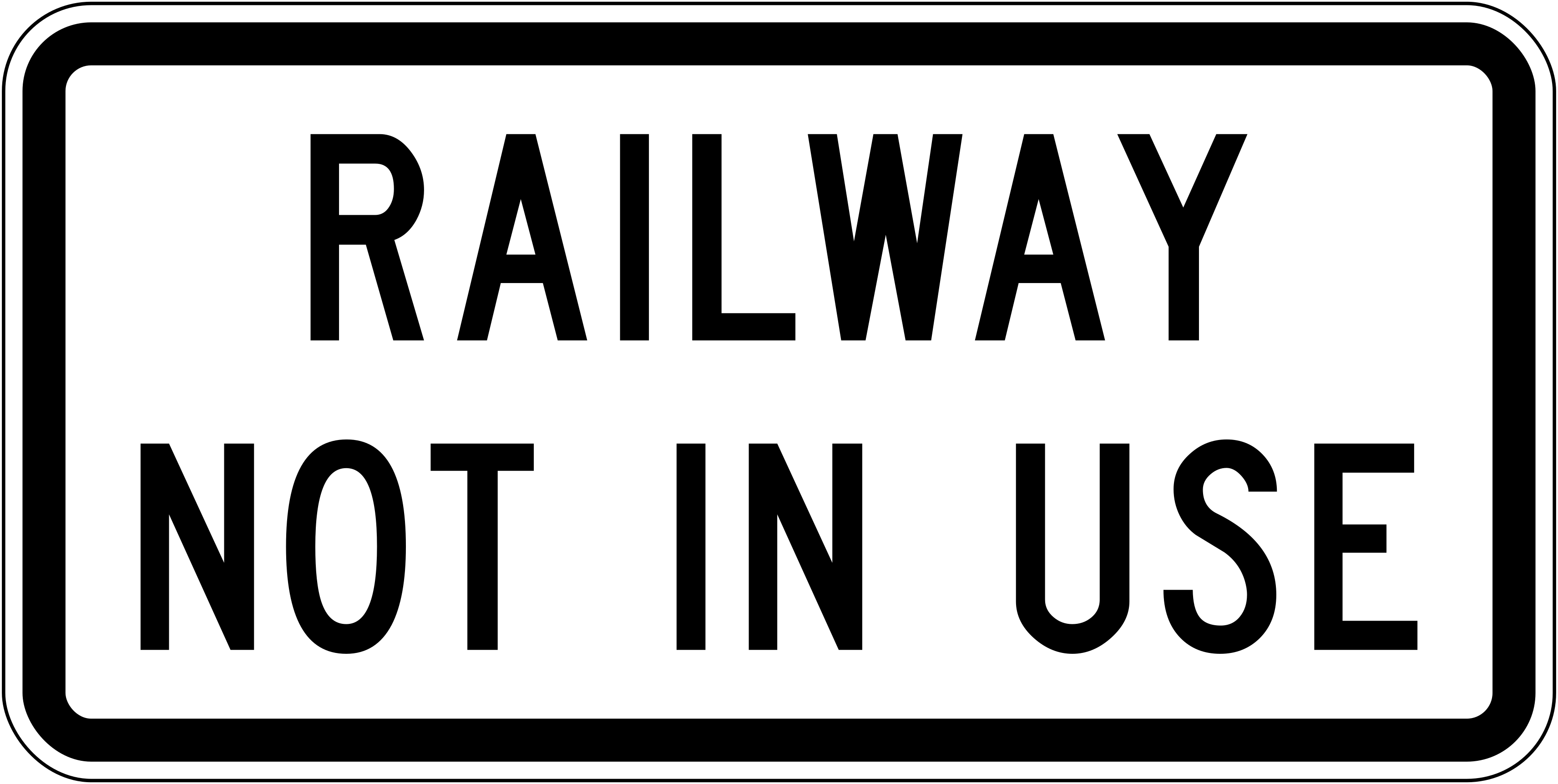 Railway not in useCode A41-4Railway crossing not in use; trains do not use this crossing so normal stop/give-way obligations do not apply.
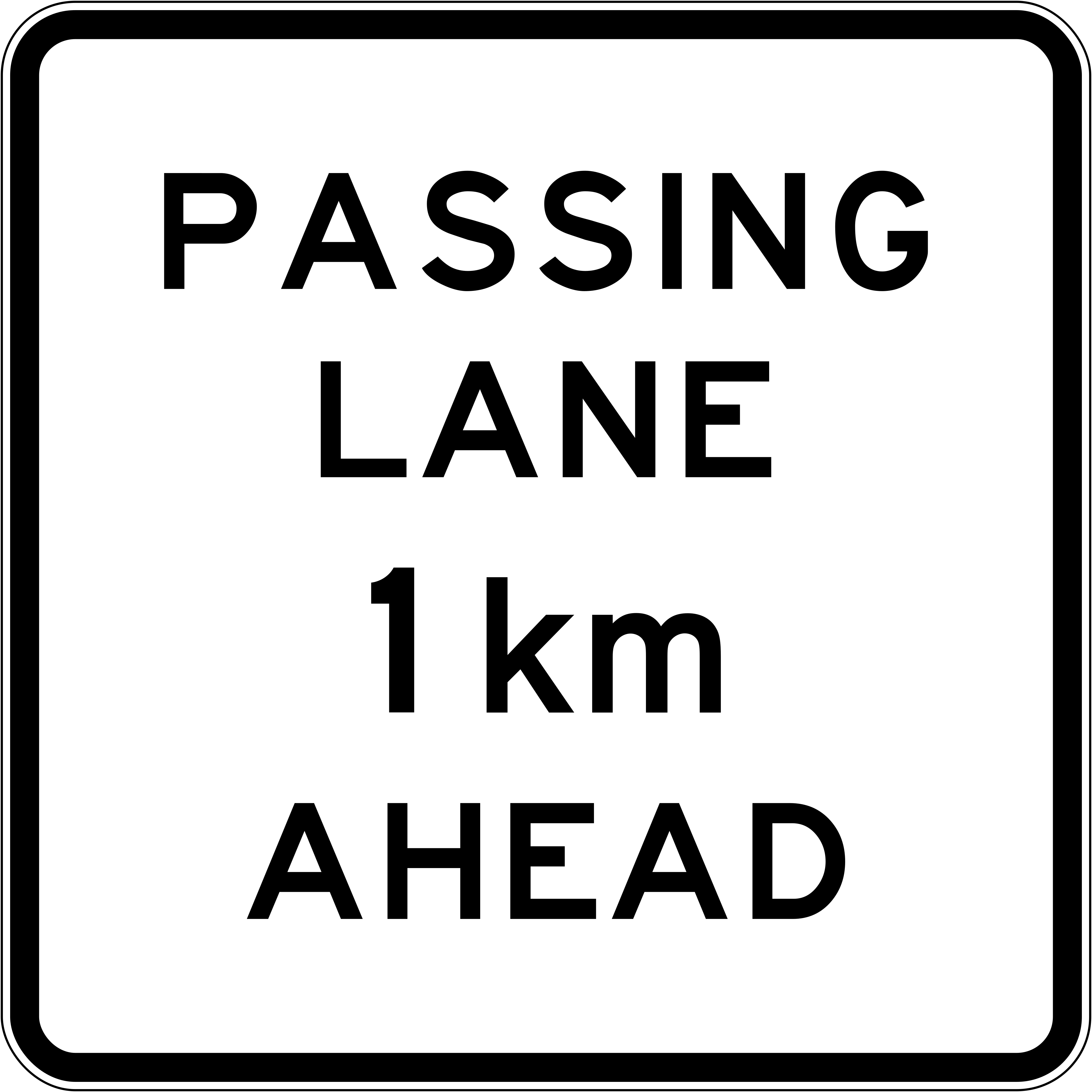 Passing lane 1kmCode A42-1.1Passing lane begins in 1 km; drivers should prepare for the opportunity to overtake slow vehicles.
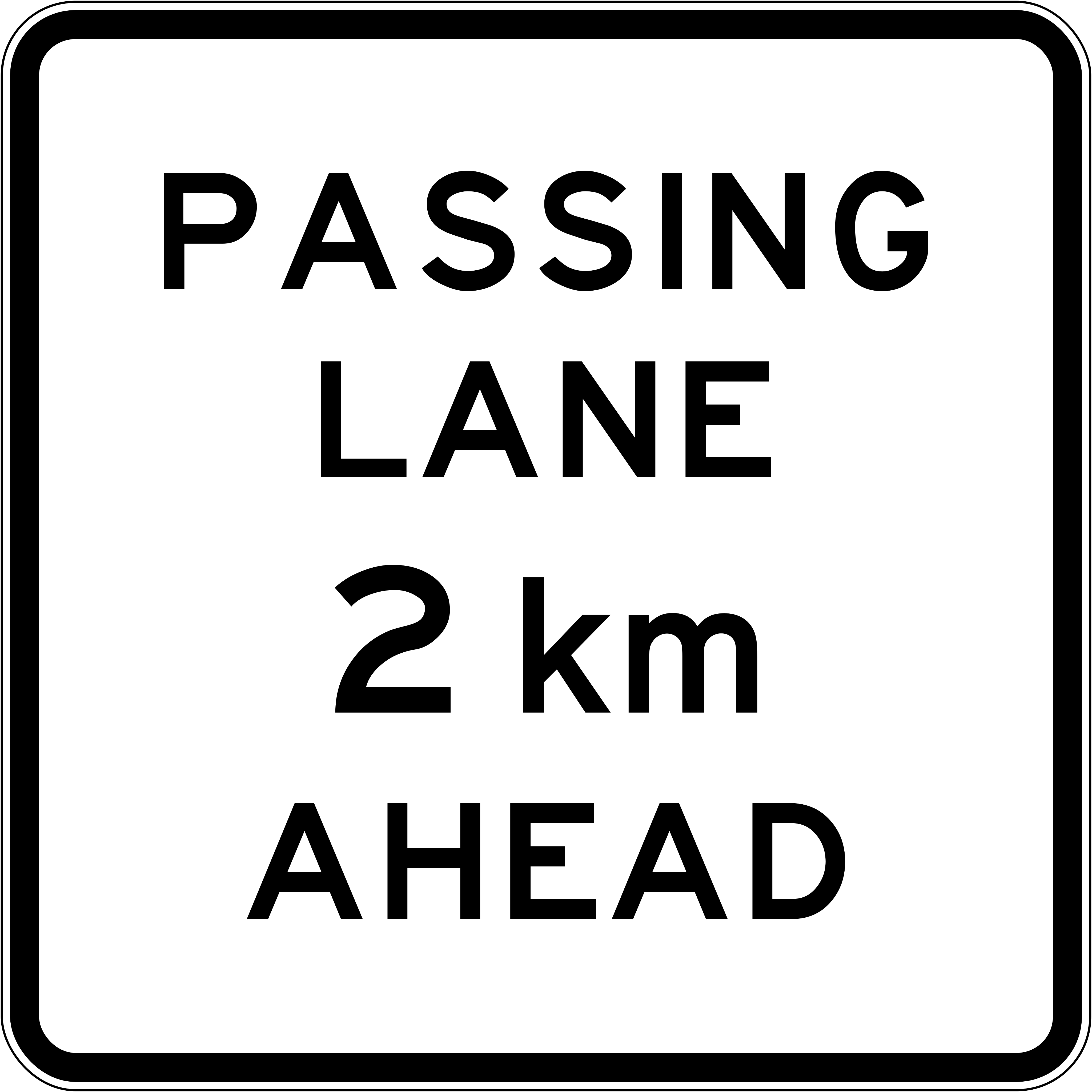 Passing lane 2kmCode A42-1.1Passing lane begins in 2 km; drivers should prepare for the opportunity to overtake slow vehicles.
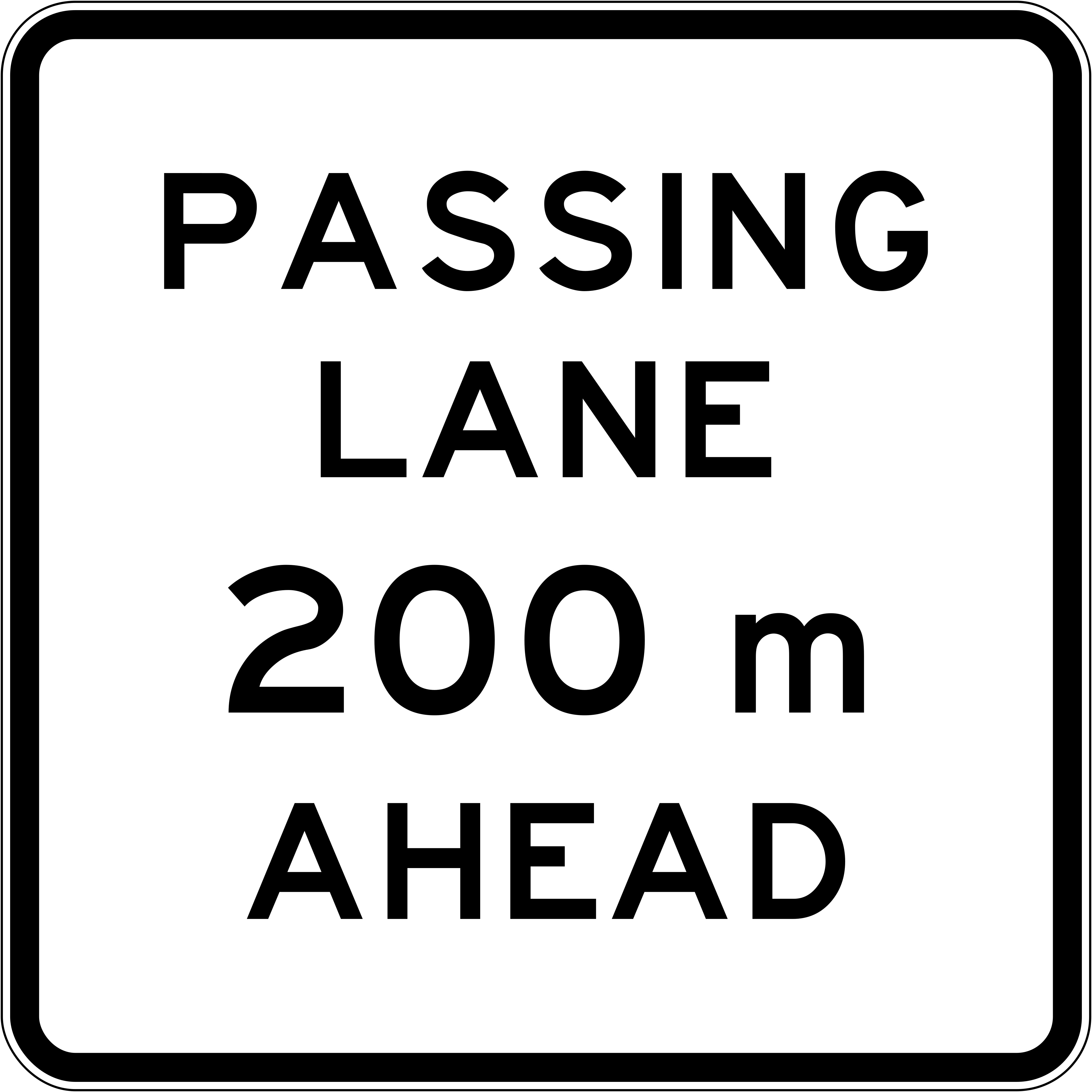 Passing lane 200mCode A42-1Passing lane begins in 200 metres; drivers should prepare to use the passing lane to overtake.
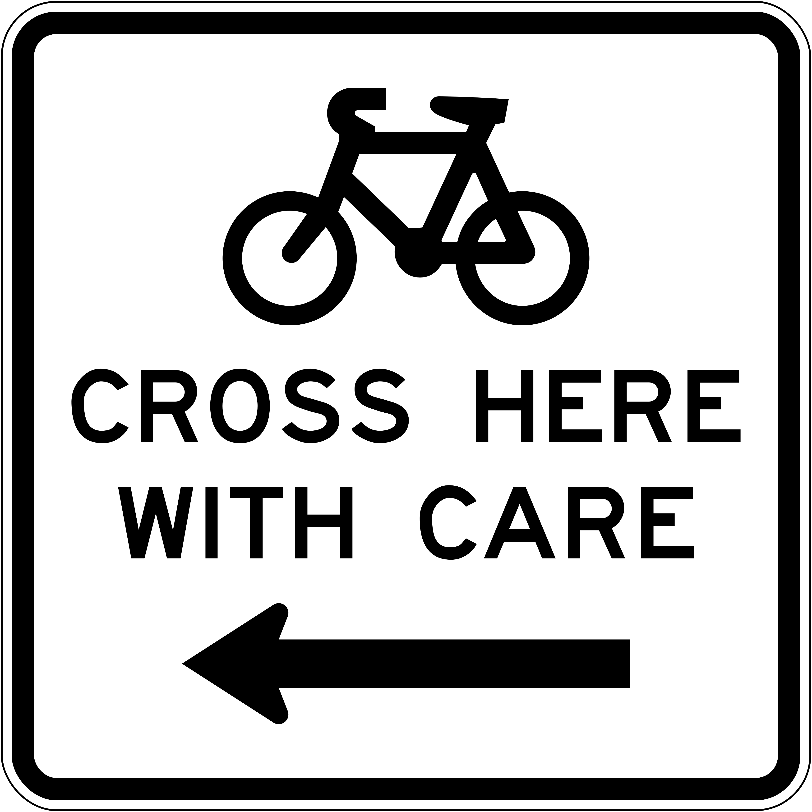 Bicycle cross here with care leftCode A43-3LCyclists should cross here with care — crossing point is to the left.
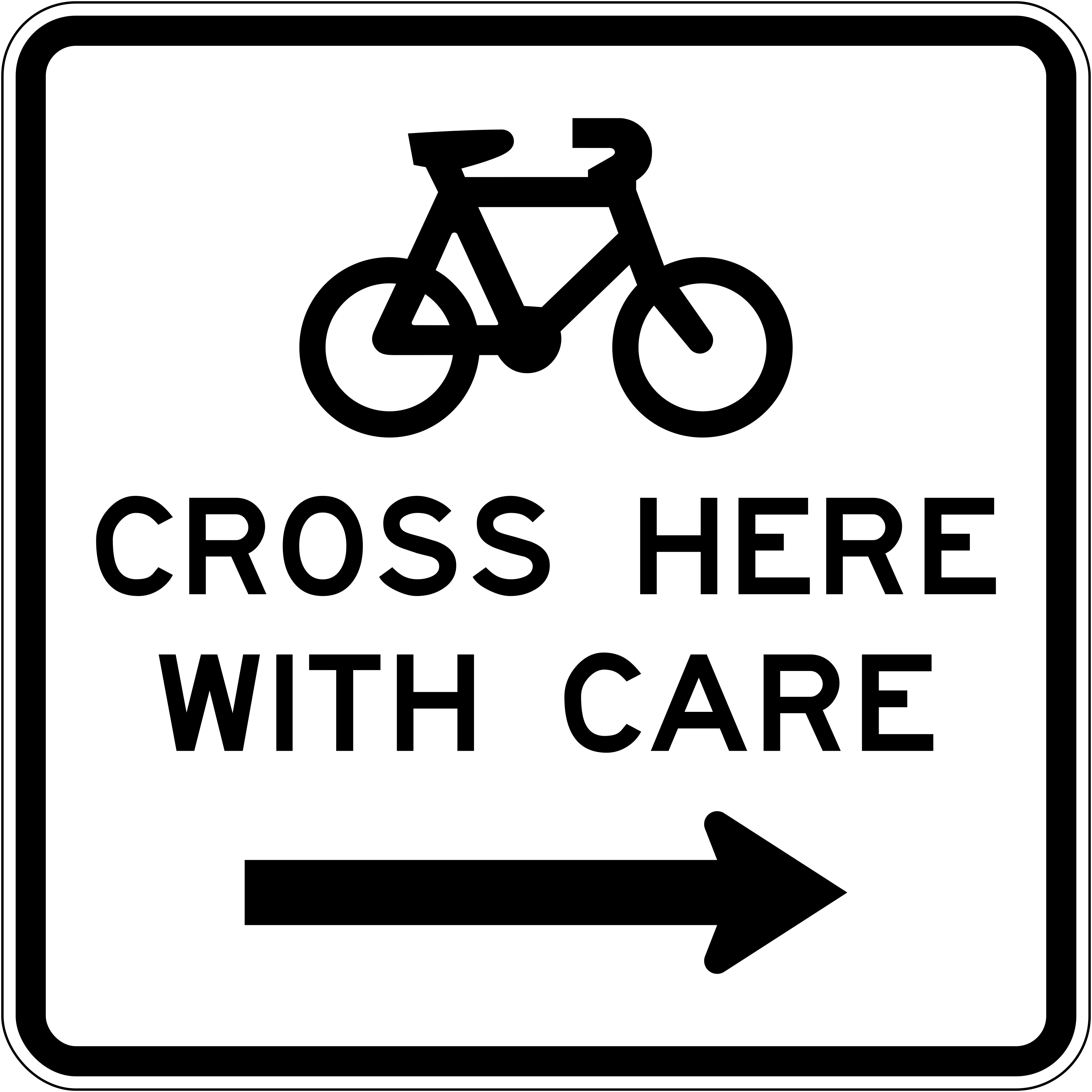 Bicycle cross here with care rightCode A43-3RCyclists should cross here with care — crossing point is to the right.
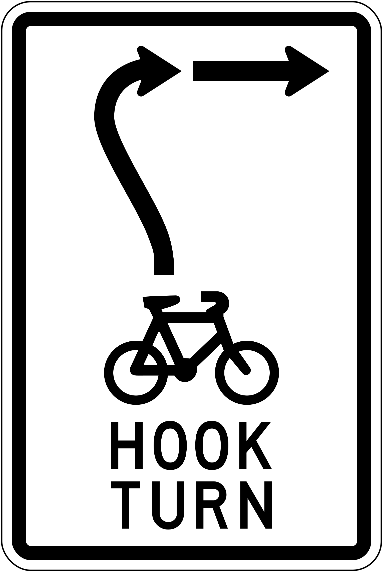 Bicycle hook turnCode A43-5Cyclists should perform a hook turn at this intersection.
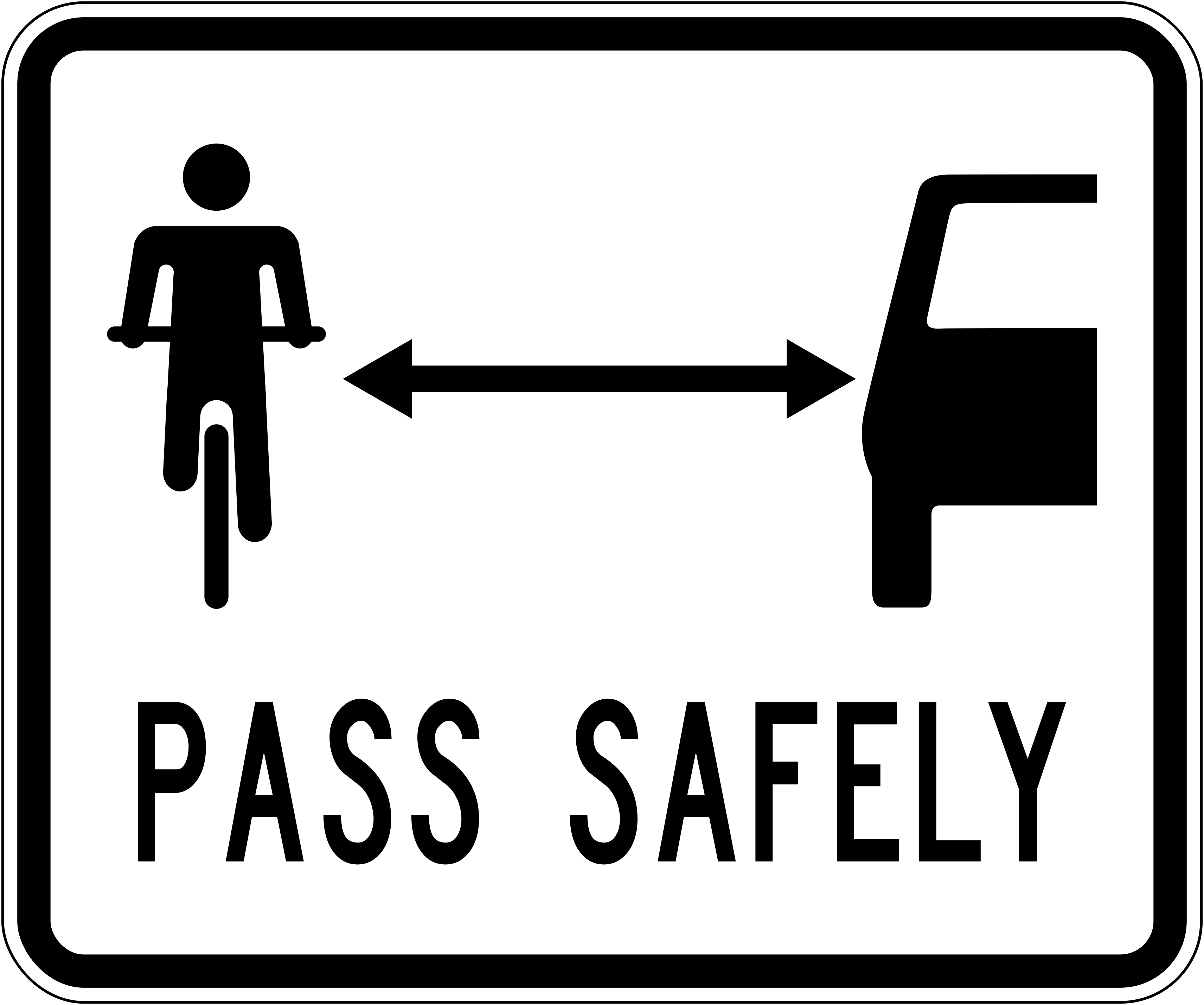 Bicycle pass safelyCode A43-6ADrivers must pass cyclists safely, maintaining adequate clearance.
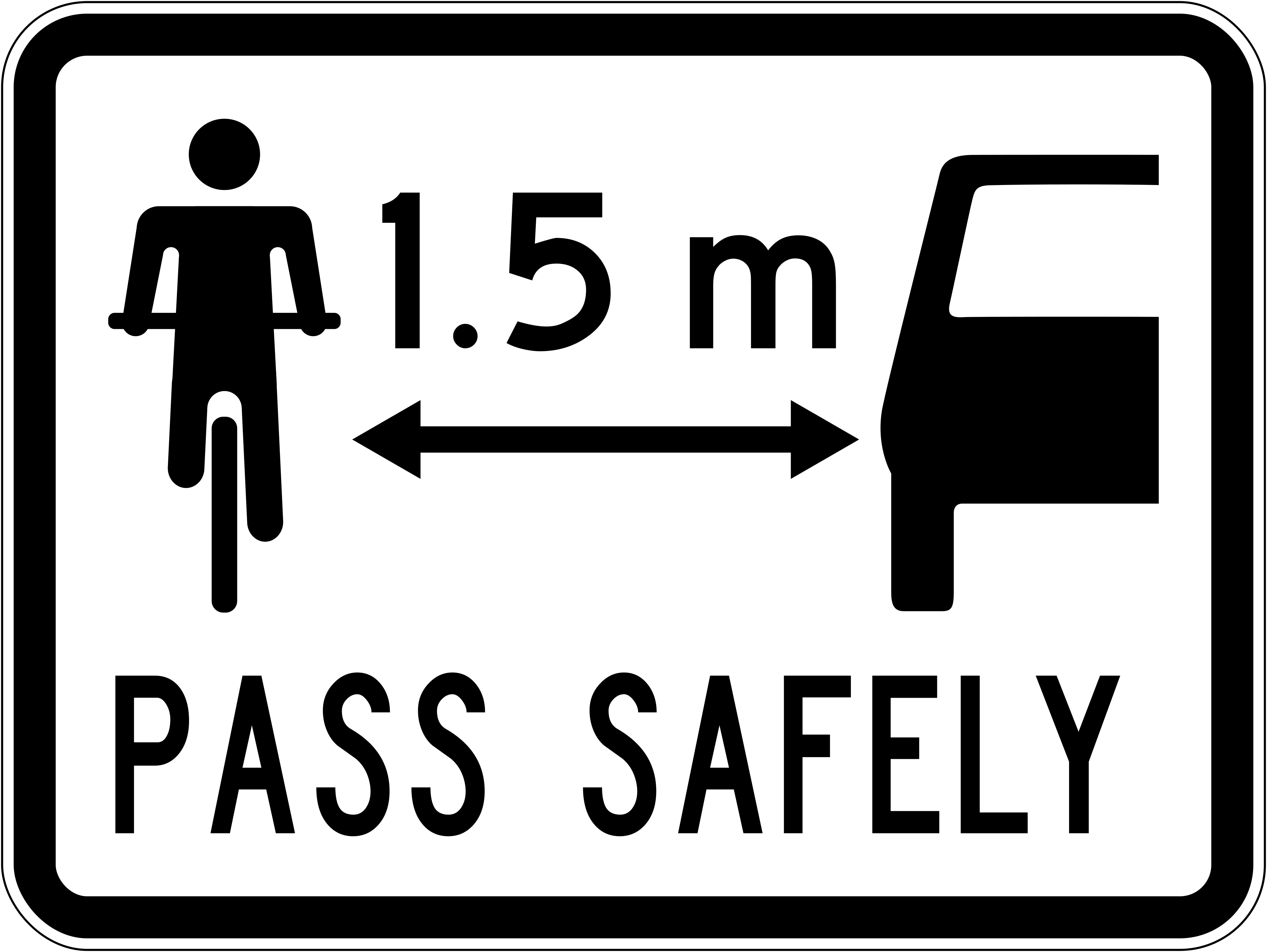 Bicycle pass safely 1 5mCode A43-6BDrivers must pass cyclists with a minimum clearance of 1.5 m.
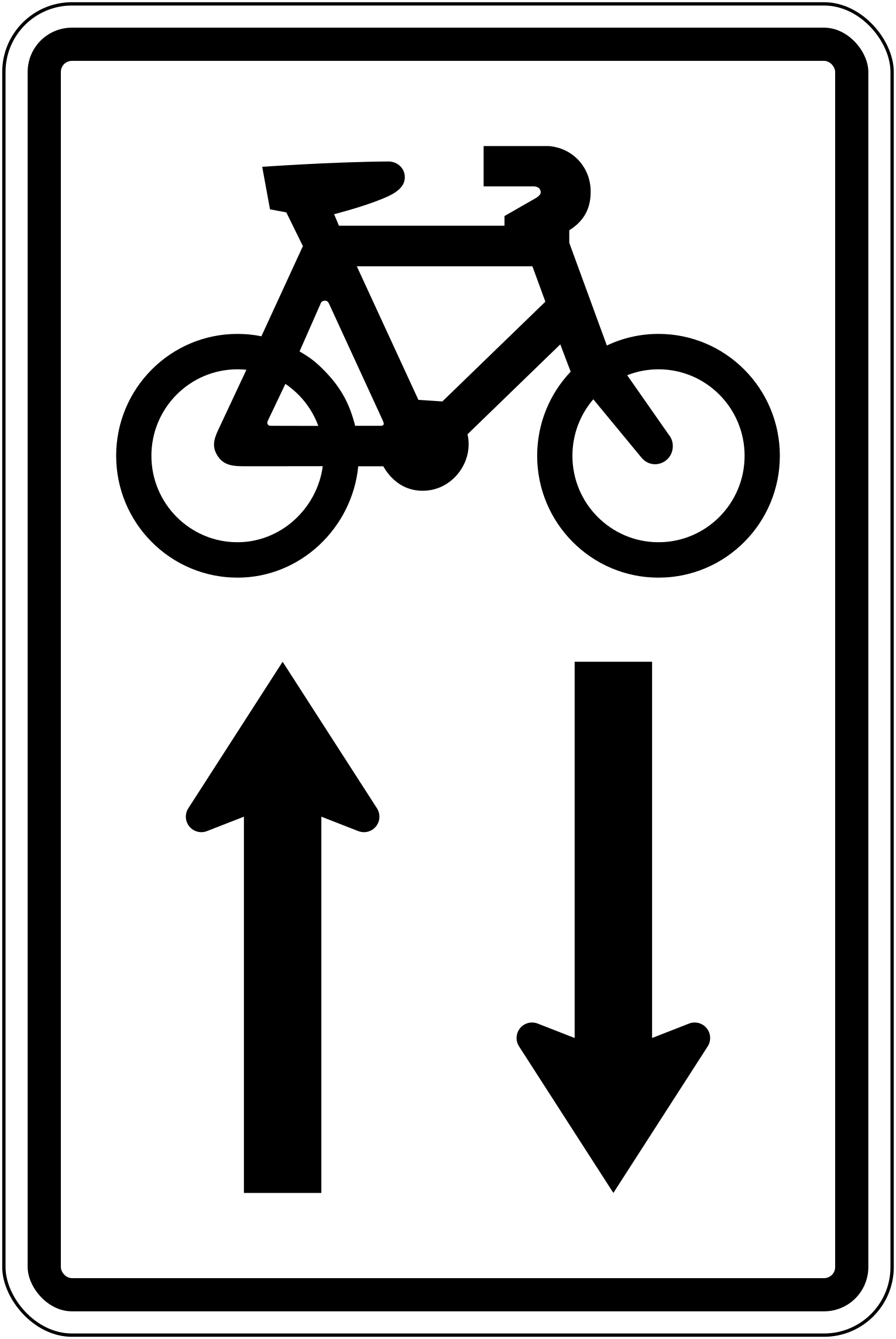 Bicycle two way cyclingCode A43-8Two-way cycling is permitted on this road.
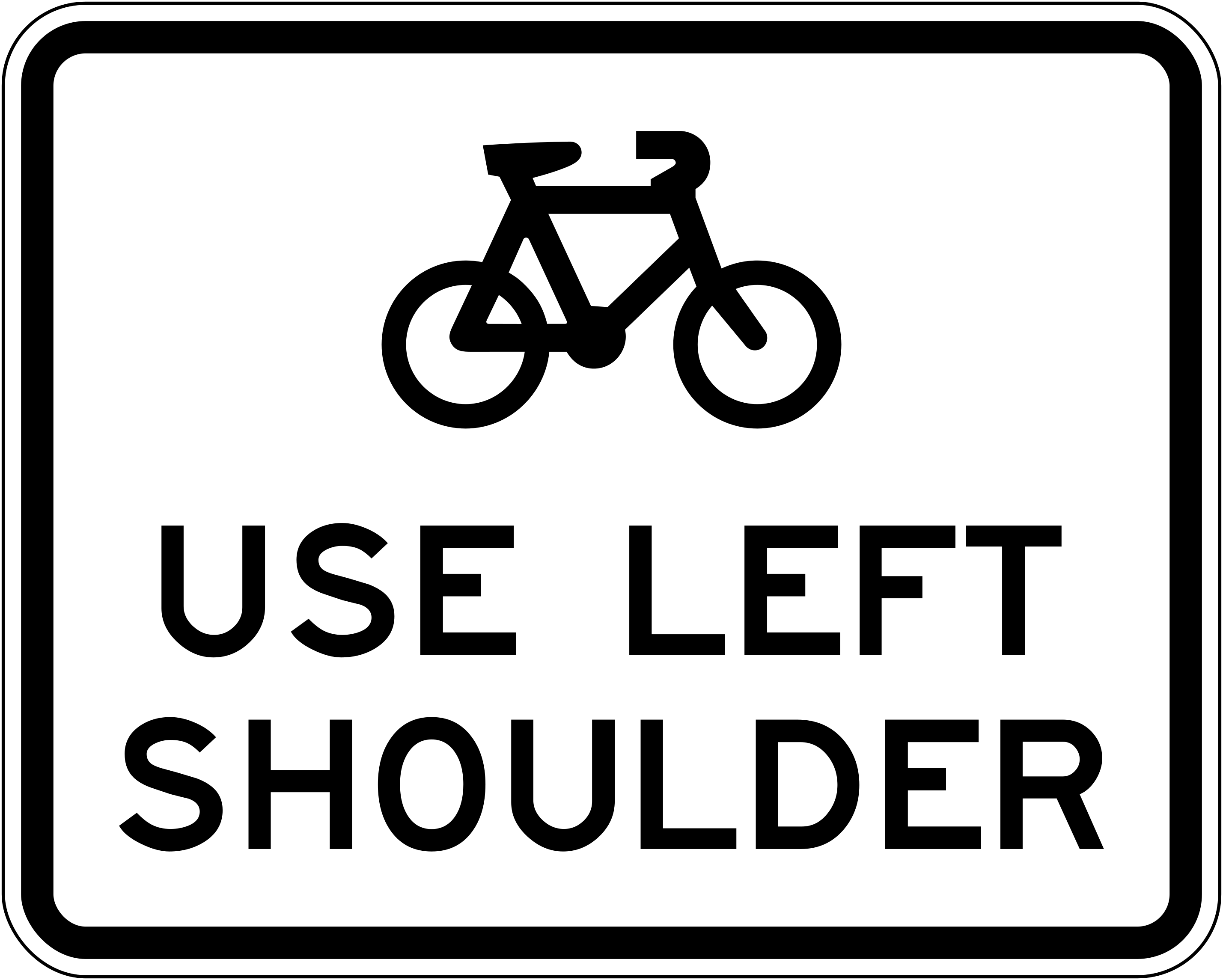 Bicycle use left shoulderCode A43-1Cyclists must use the left shoulder of the road.
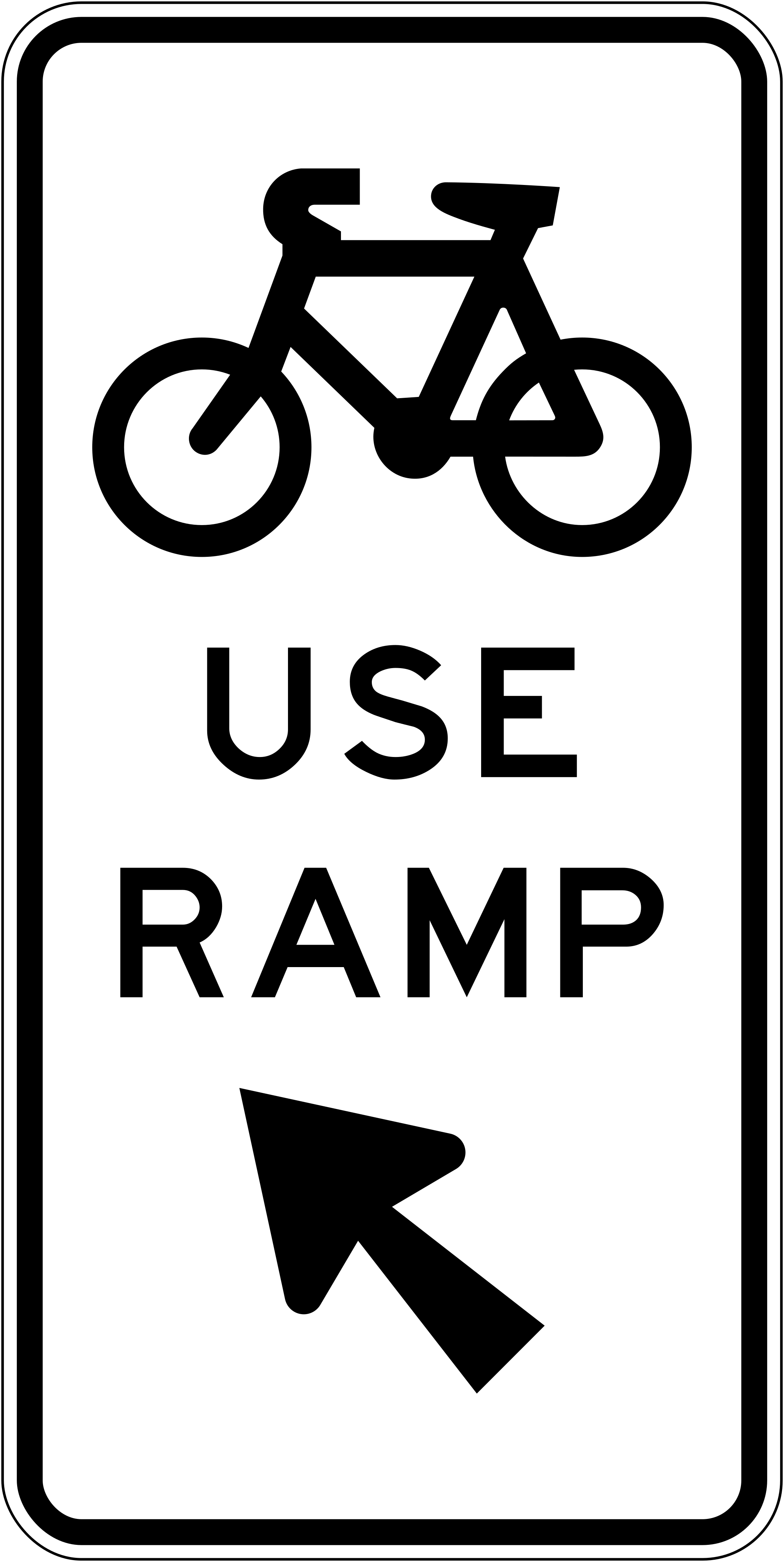 Bicycle use rampCode A43-2Cyclists must use the ramp indicated by the arrow.
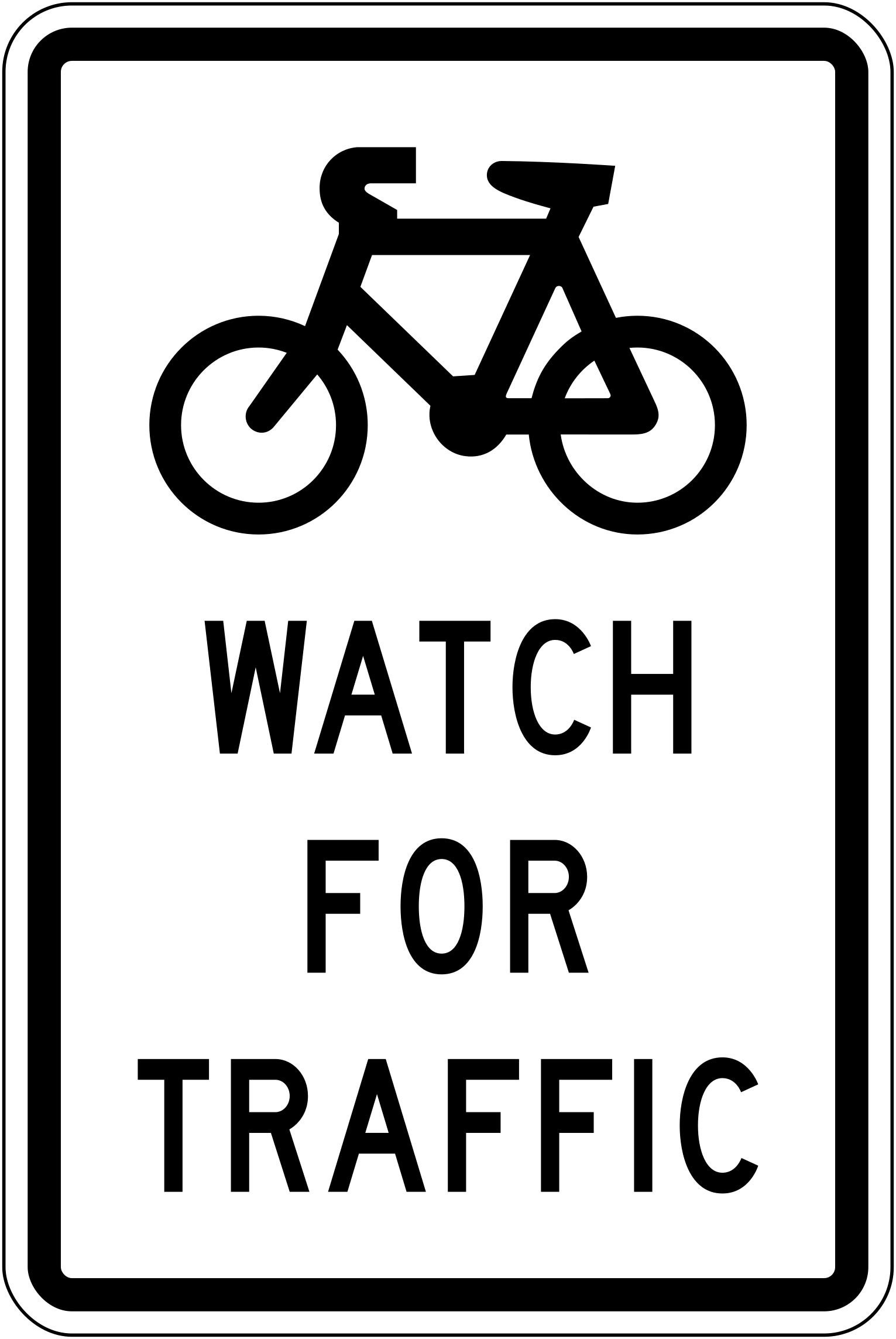 Bicycle watch for trafficCode A43-7Cyclists should watch for traffic at this point.
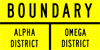 District boundary labelCode IG-13District boundary label identifying the boundary between Alpha District and Omega District.
 District label fraser parkCode IG-12District or area label identifying 'Fraser Park'.
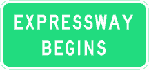 Expressway beginsExpressway begins — informs drivers that they are entering an expressway where expressway rules apply.
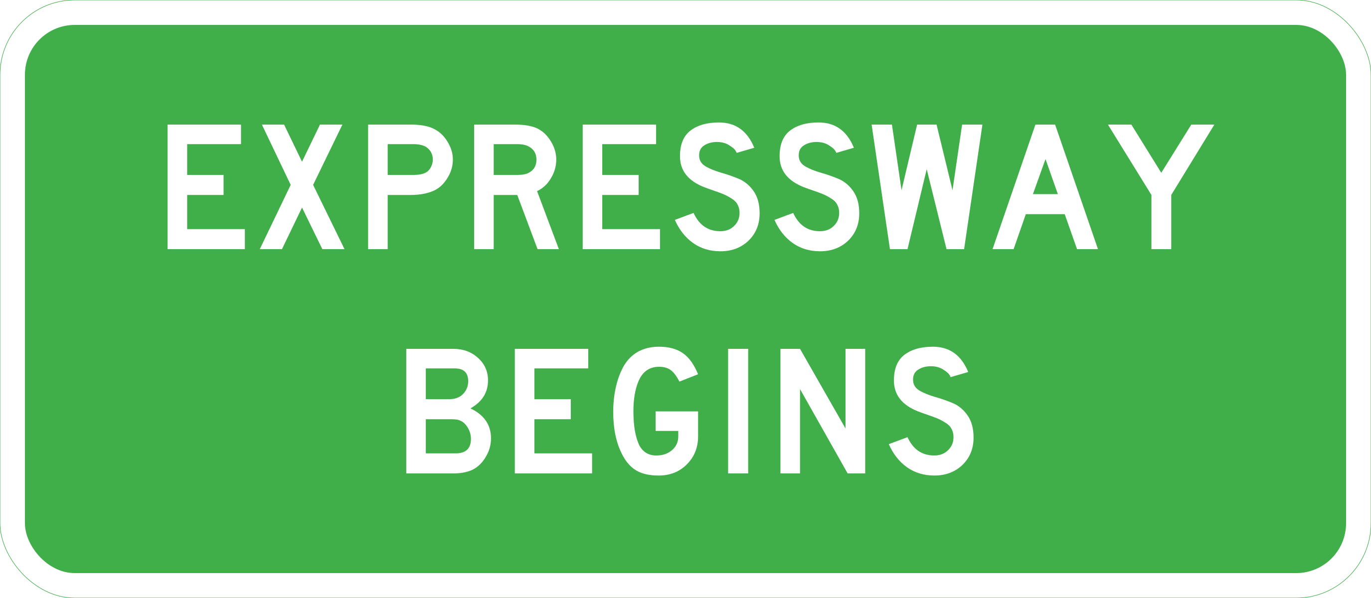 Expressway beginsExpressway begins — informs drivers that they are entering an expressway where expressway rules apply (vector version).
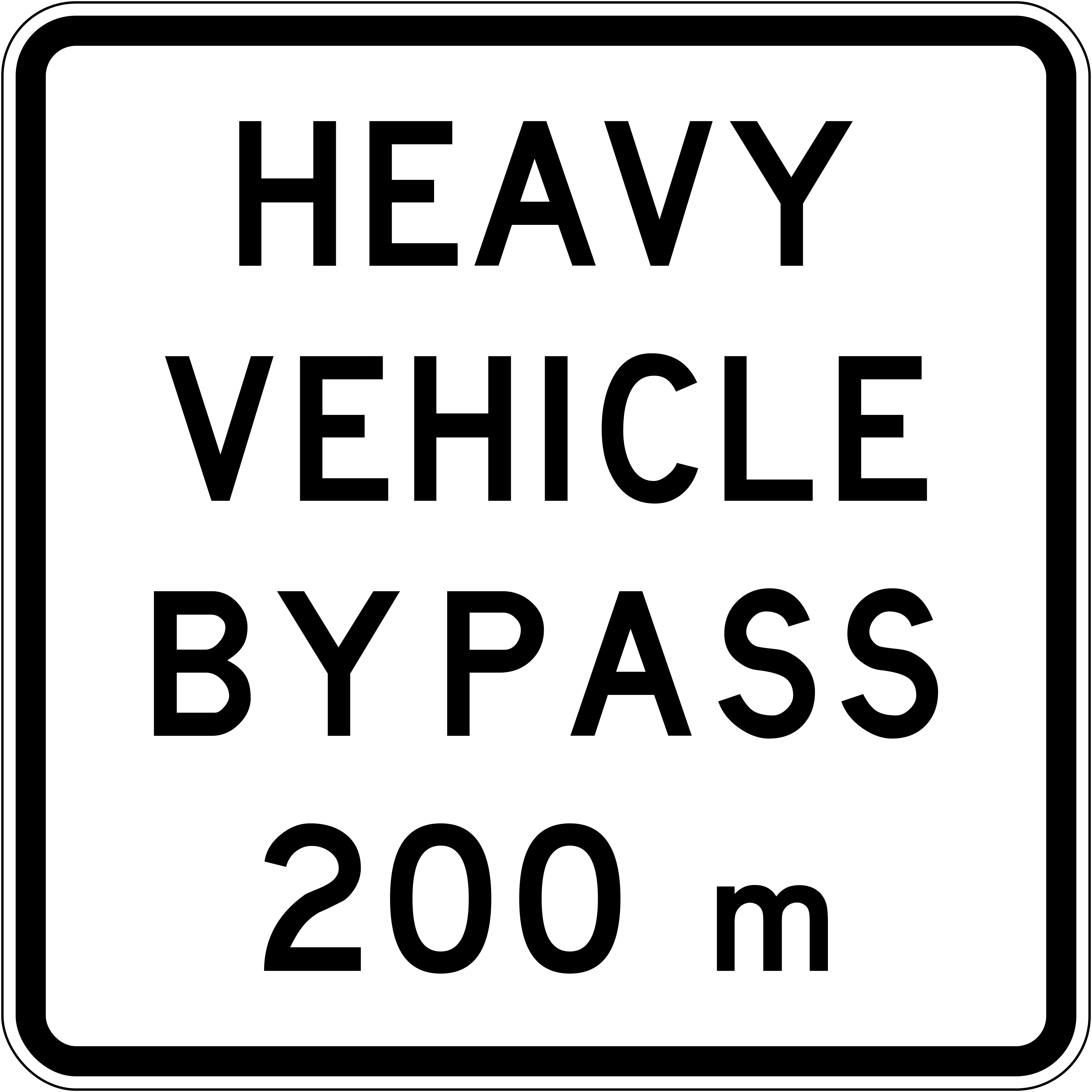 Heavy vehicle bypass 200mCode A45-1A heavy vehicle bypass route begins 200 m ahead.
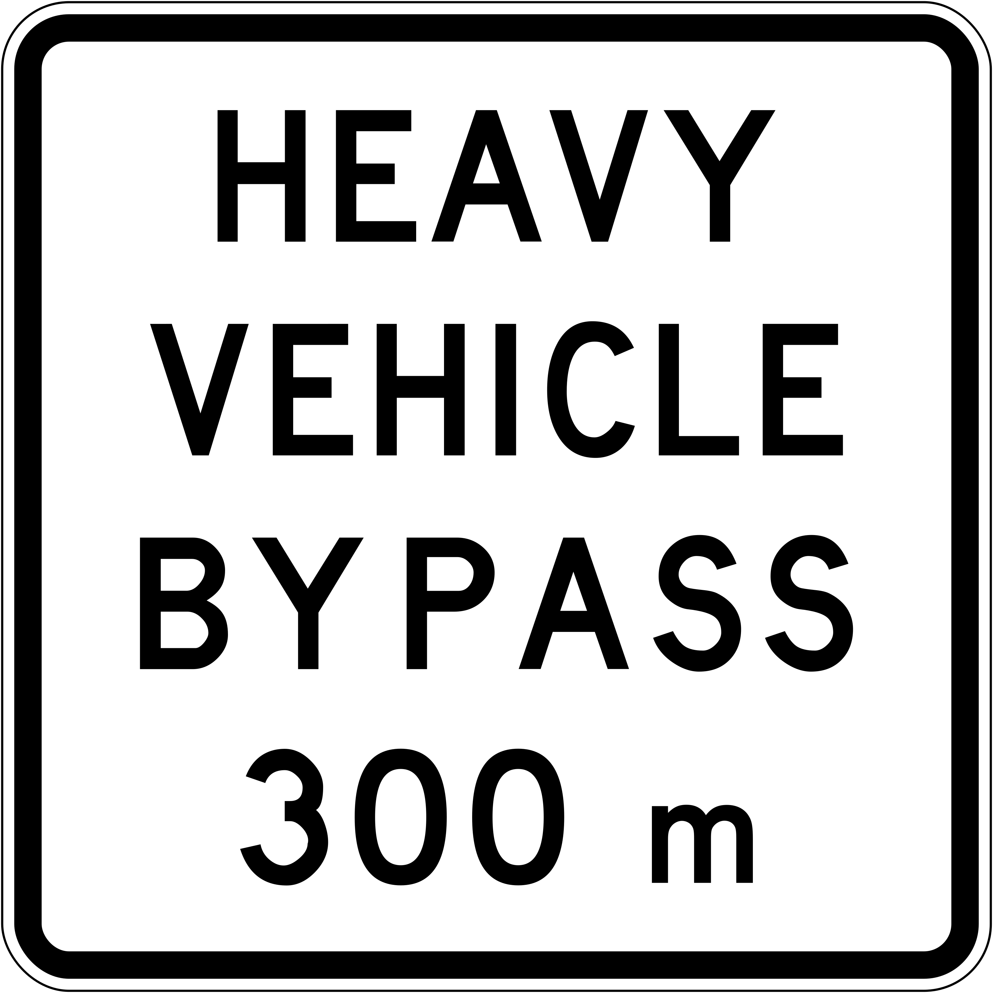 Heavy vehicle bypass 300mCode A45-1A heavy vehicle bypass route begins 300 m ahead.
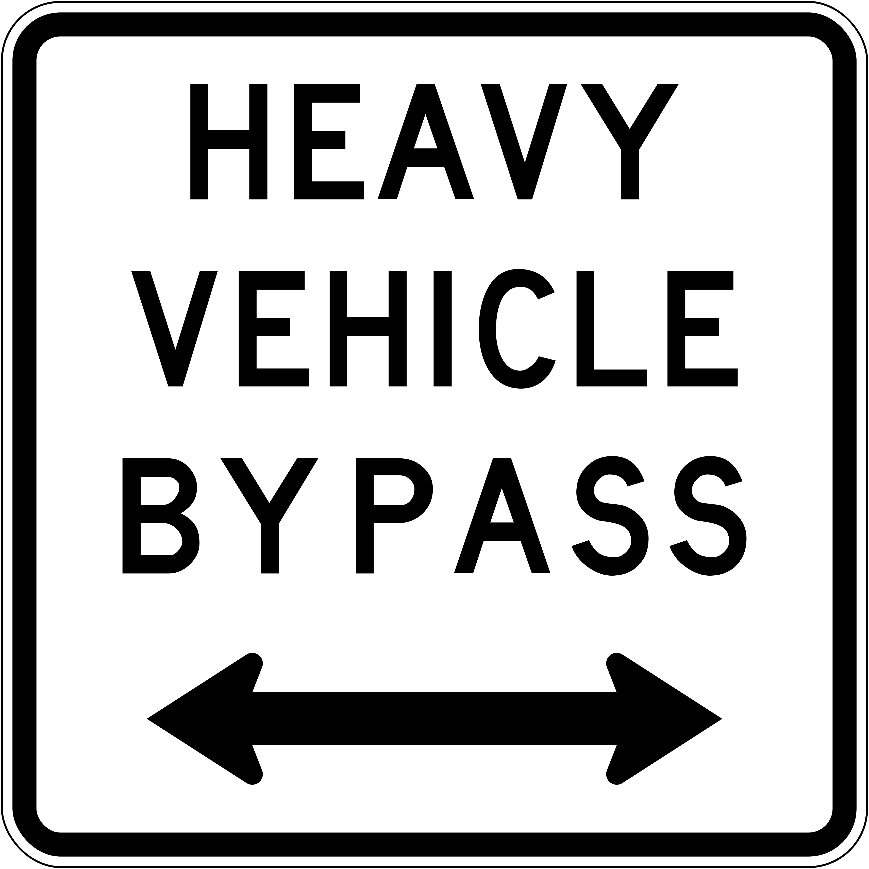 Heavy vehicle bypass both directionsCode A45-2LRHeavy vehicles may use the bypass in both left and right directions.
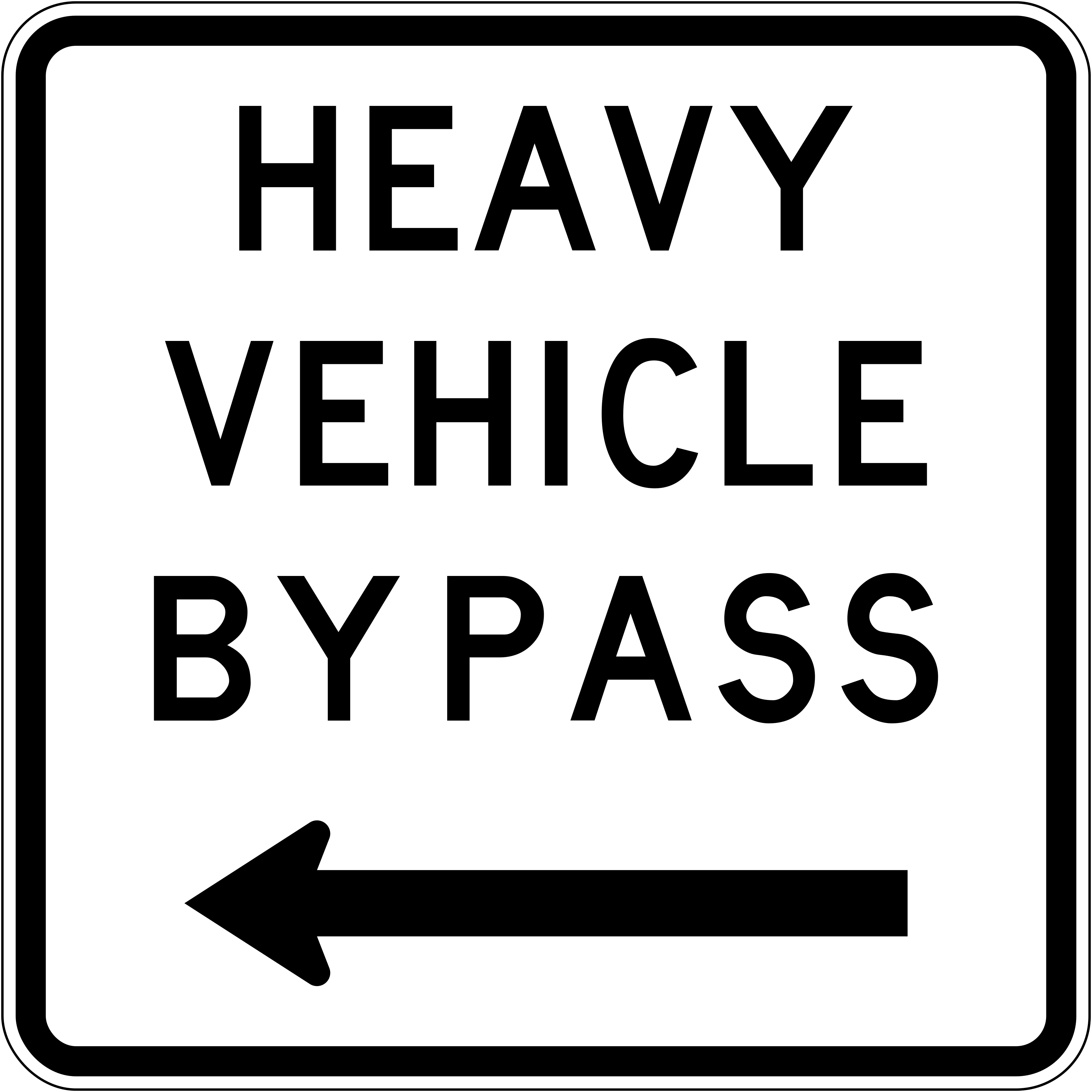 Heavy vehicle bypass turn leftCode A45-2LHeavy vehicles must turn left to use the bypass.
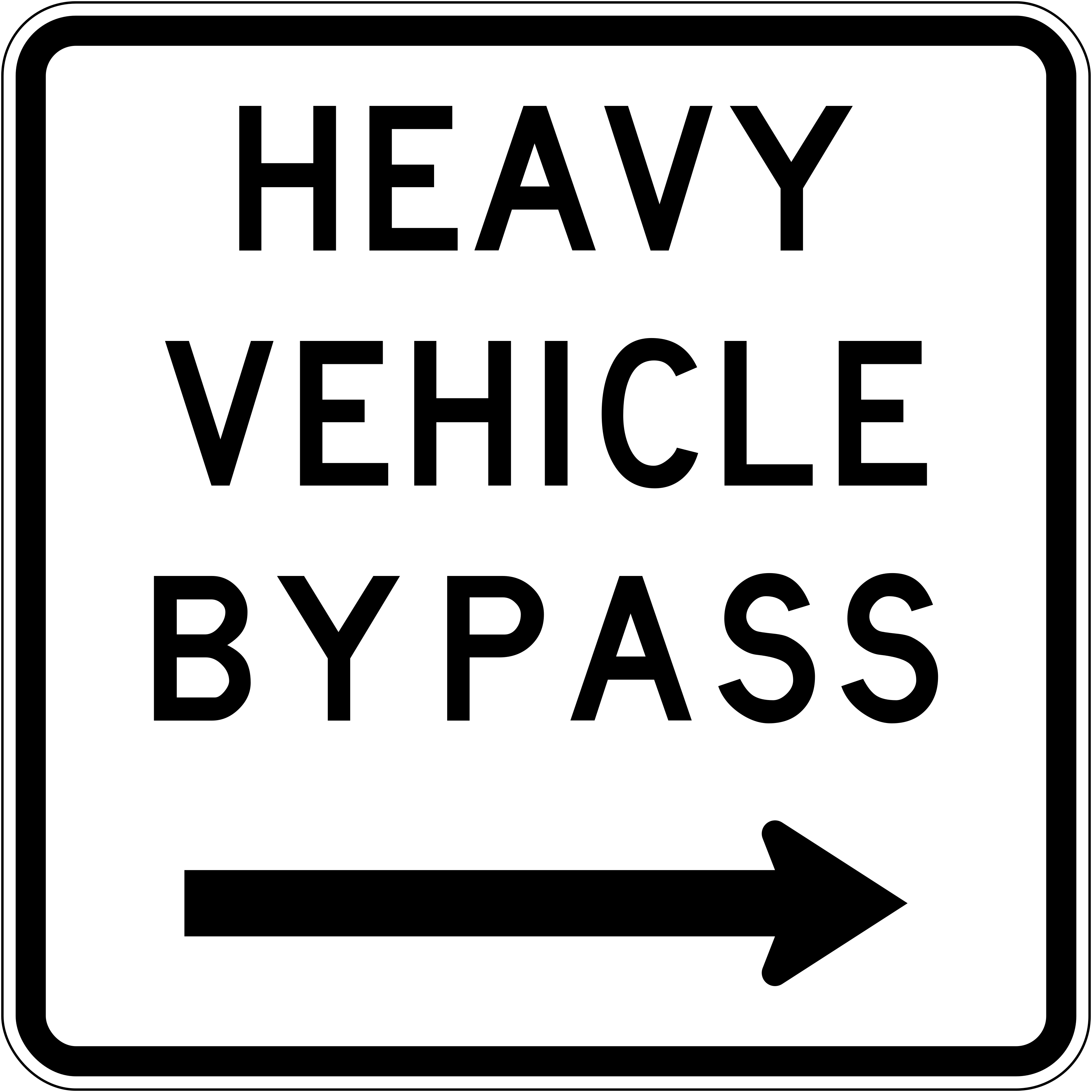 Heavy vehicle bypass turn rightCode A45-2RHeavy vehicles must turn right to use the bypass.
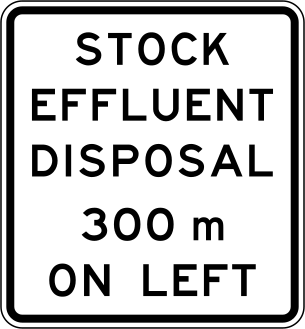 On left 300mCode IG-18Advance direction sign indicating a stock effluent disposal facility is located on the left in 300 metres.
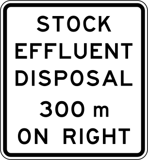 On right 300mCode IG-18Advance direction sign indicating a stock effluent disposal facility is located on the right in 300 metres.
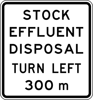 Turn left 300mCode IG-18Advance direction sign indicating a stock effluent disposal facility is reached by turning left in 300 metres.
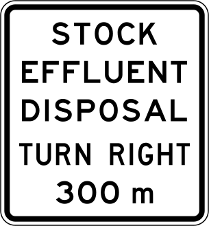 Turn right 300mCode IG-18Advance direction sign indicating a stock effluent disposal facility is reached by turning right in 300 metres.
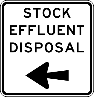 Turn leftCode IG-19Direction sign indicating a stock effluent disposal facility is to the left (turn left at this junction).
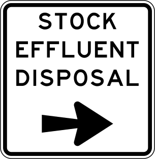 Turn rightCode IG-19Direction sign indicating a stock effluent disposal facility is to the right (turn right at this junction).
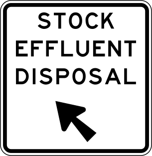 Veer leftCode IG-19Direction sign indicating a stock effluent disposal facility is to the upper-left (veer left ahead).
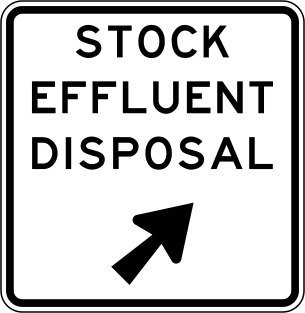 Veer rightCode IG-19Direction sign indicating a stock effluent disposal facility is to the upper-right (veer right ahead).
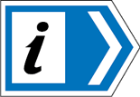 Info centreInformation centre sign with a right-pointing chevron indicating an information centre is located in that direction.
 Keep left delineator blackKeep left delineator post marker directing traffic to pass to the left of a hazard or island.
 Lake name labelCode IG-15Geographical feature label identifying a lake by name.
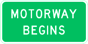 Motorway beginsMotorway begins — informs drivers that they are entering a motorway where motorway rules apply.
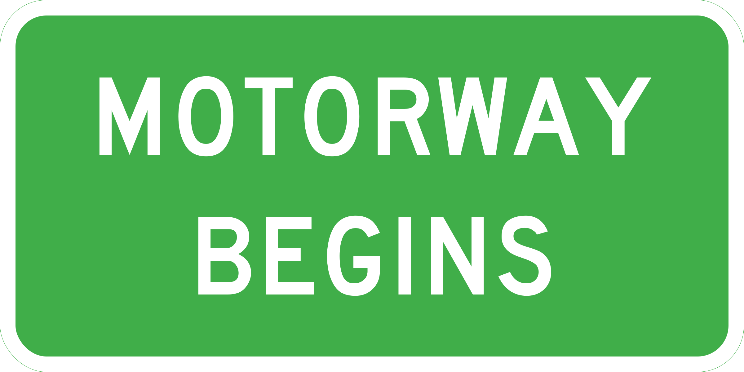 Motorway beginsMotorway begins — informs drivers that they are entering a motorway where motorway rules apply (vector version).
 Motorway lane info leftCode MB2LMotorway supplementary panel indicating lane-specific destination information for the left lane.
 Mountain name labelCode IG-16Geographical feature label identifying a mountain or peak by name.
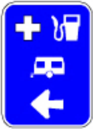 ServicesCode MS-4.3LMotorist services sign indicating hospital, fuel, caravan/camping facilities are available to the left.
 Ms lane info leftCode MS-3-1-LMotorway supplementary information tab for the left lane indicating lane-specific guidance.
 Ms lane info rightCode MS-3-1-RMotorway supplementary information tab for the right lane indicating lane-specific guidance.
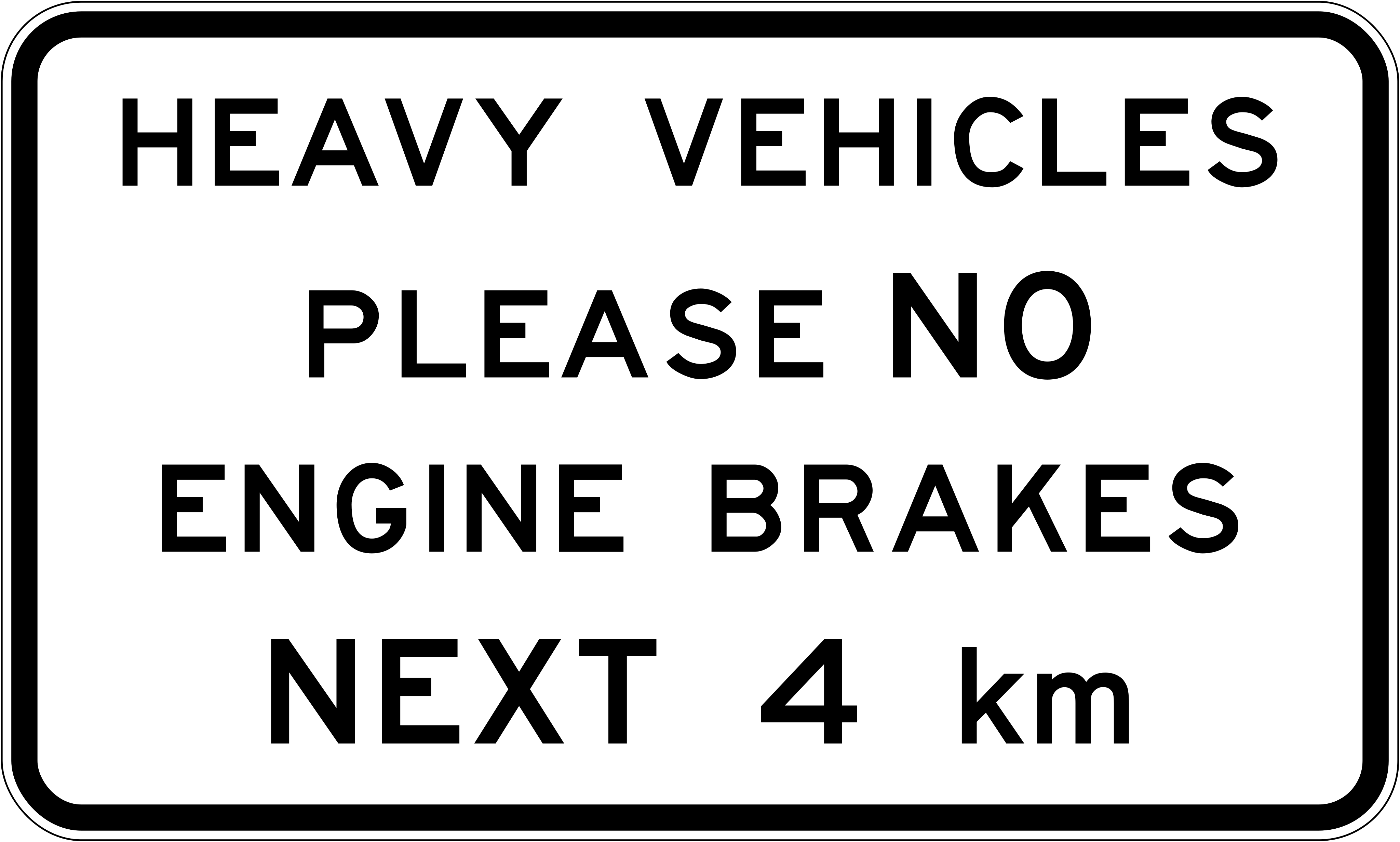 No engine brakes 4kmCode A45-5Heavy vehicles must not use engine brakes for the next 4 km.
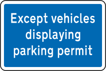 Parking permits exemptSupplementary panel indicating that vehicles displaying a valid parking permit are exempt from the posted parking restriction.
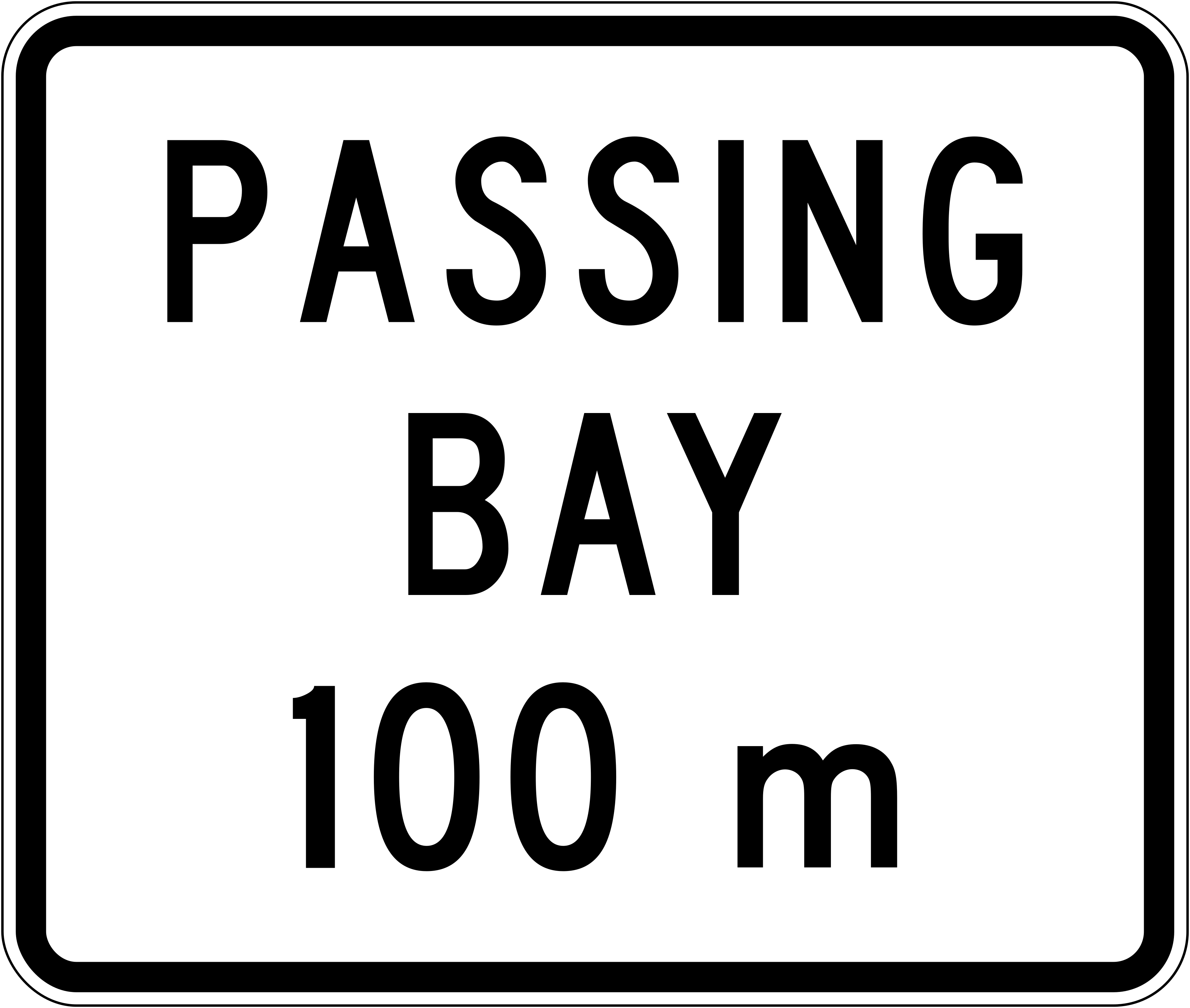 Passing bay 100mCode A42-2A passing bay is located 100 m ahead.
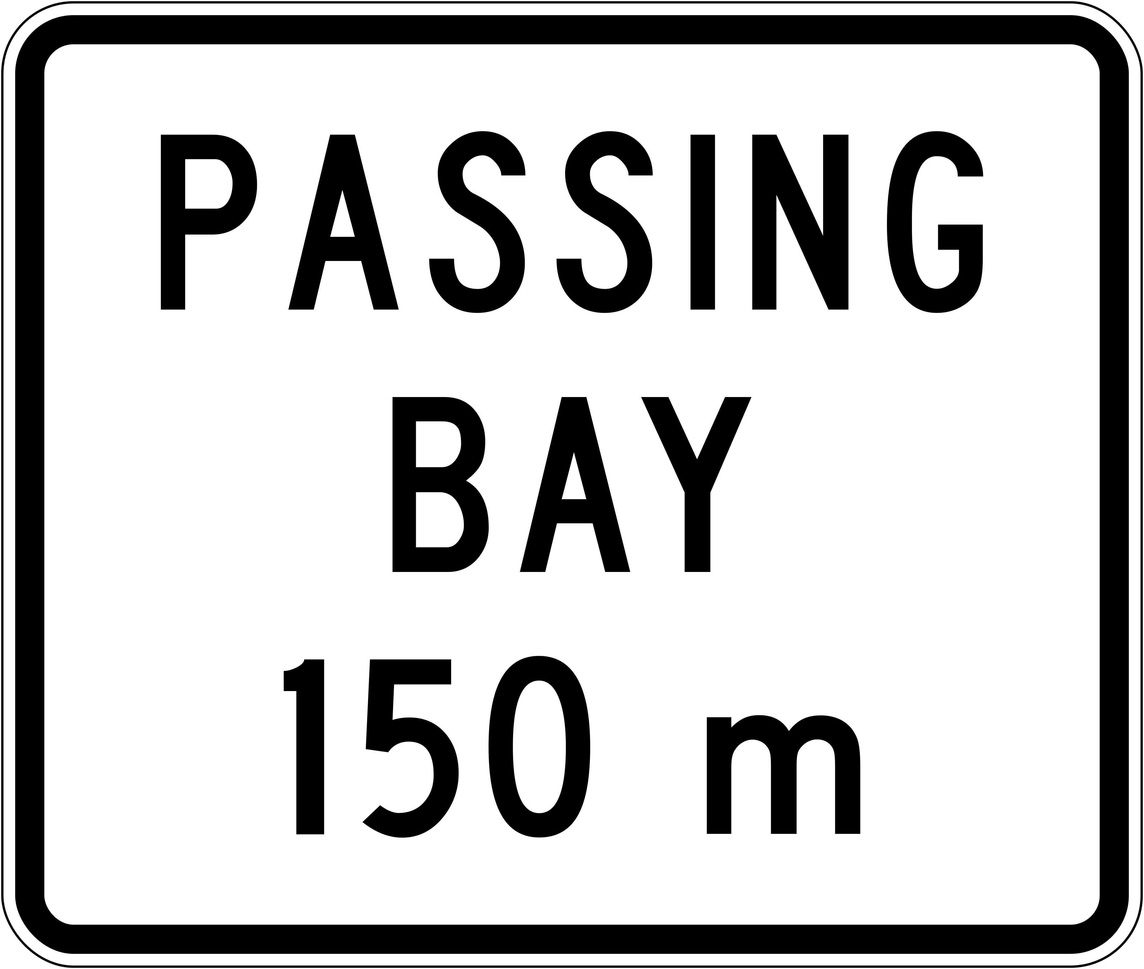 Passing bay 150mCode A42-2A passing bay is located 150 m ahead.
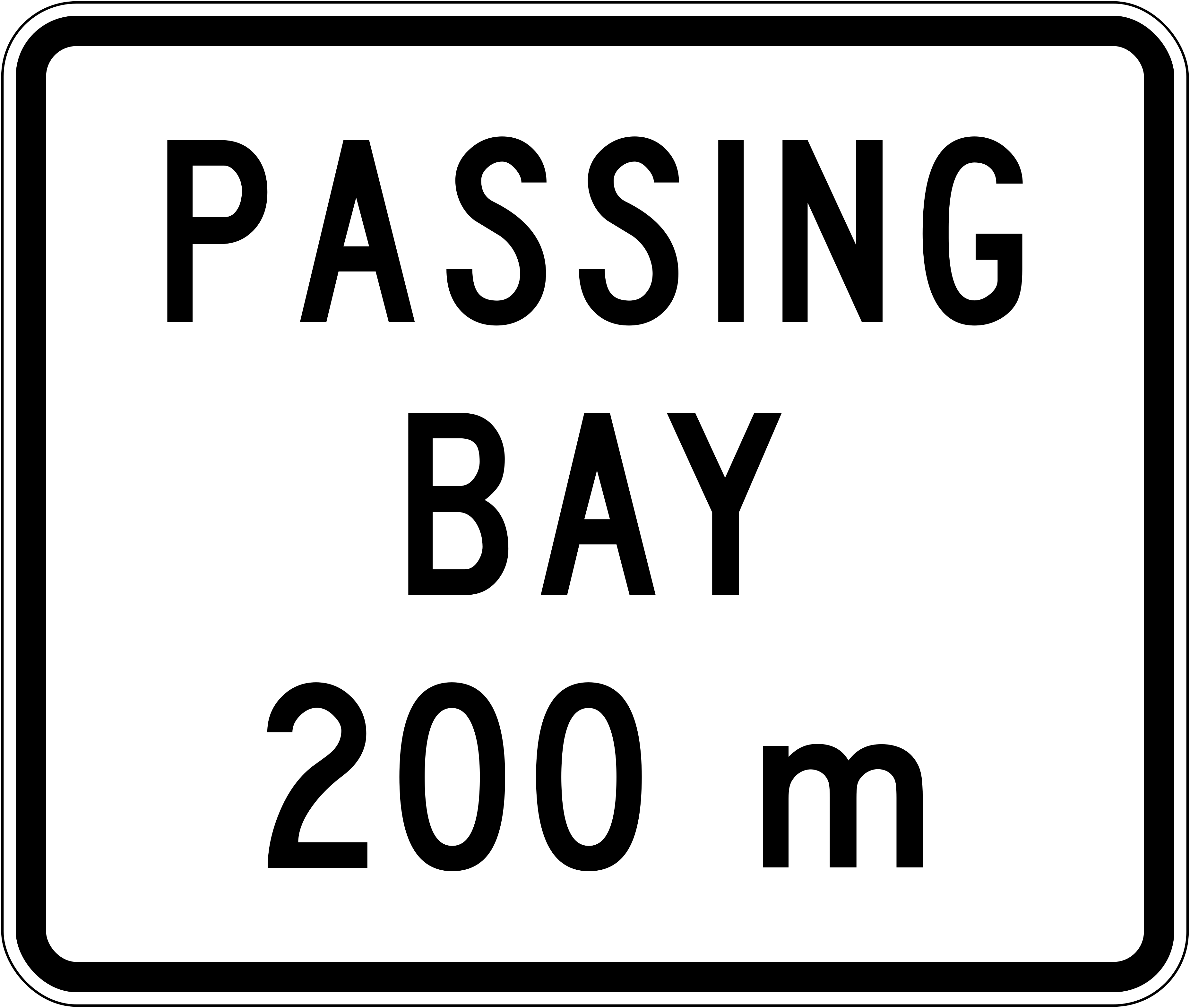 Passing bay 200mCode A42-2A passing bay is located 200 m ahead.
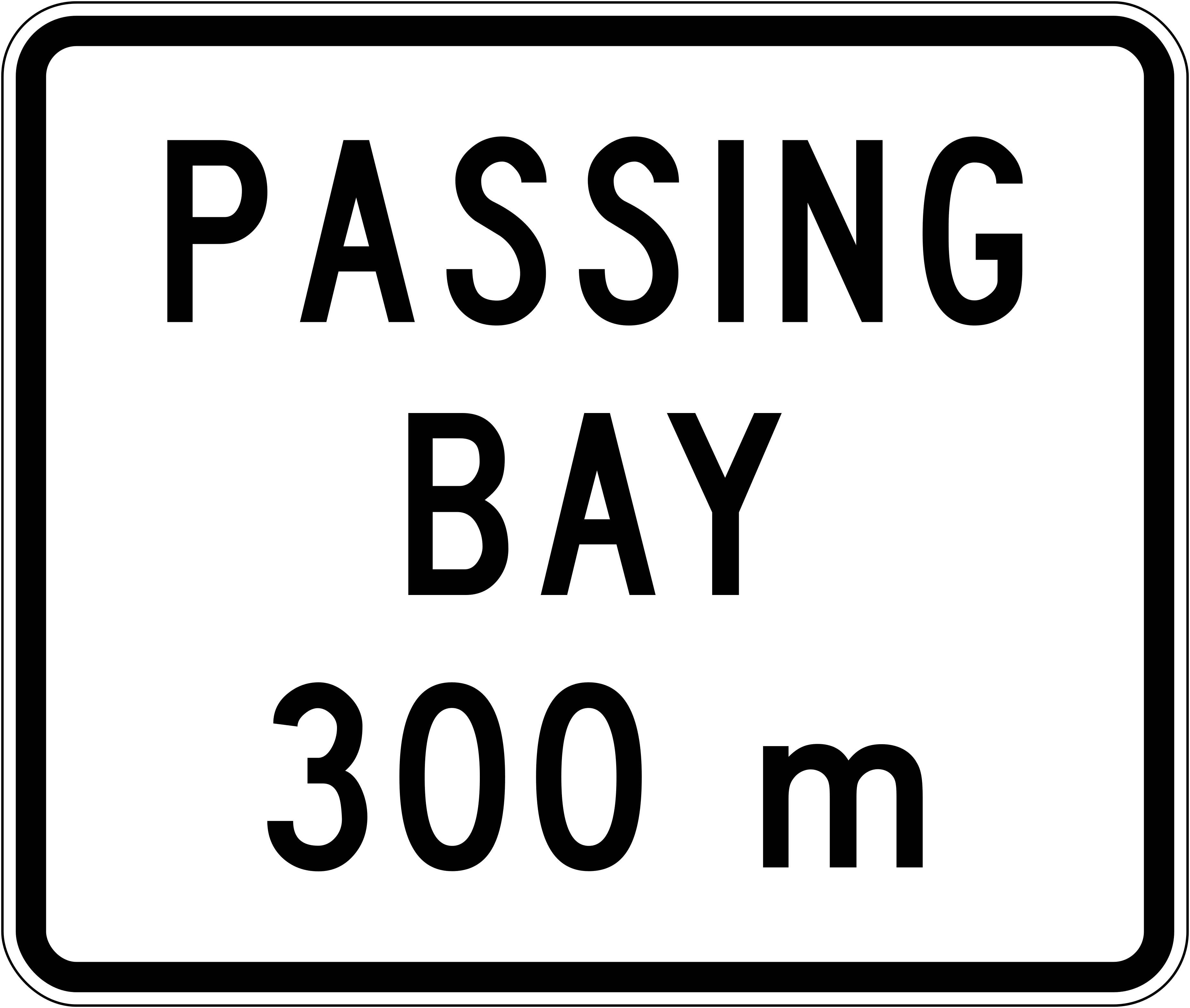 Passing bay 300mCode A42-2A passing bay is located 300 m ahead.
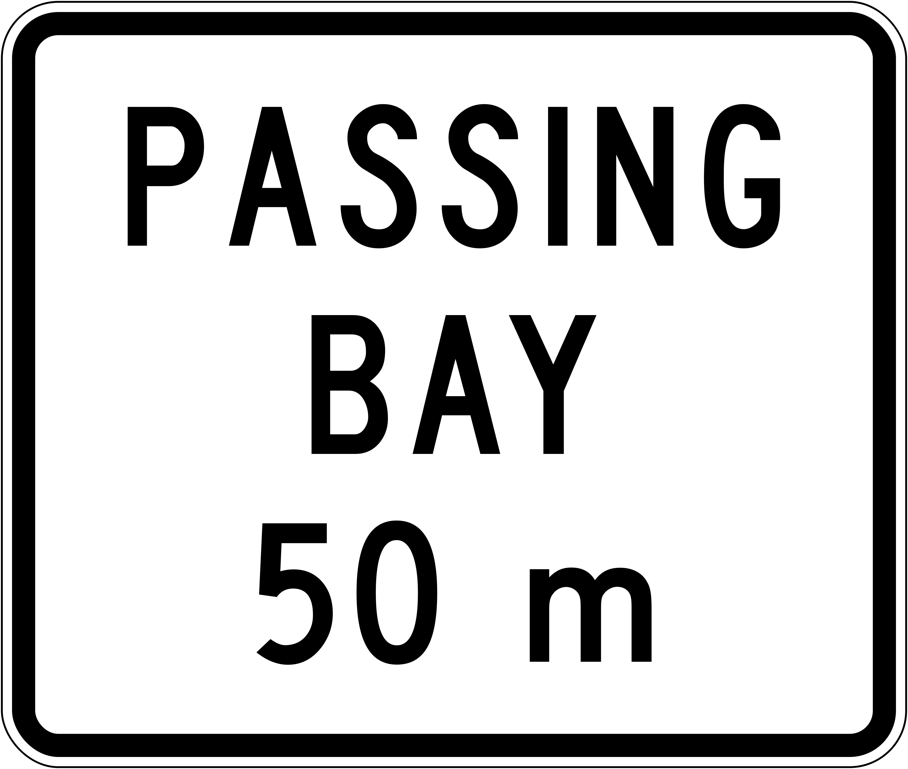 Passing bay 50mCode A42-2A passing bay is located 50 m ahead.
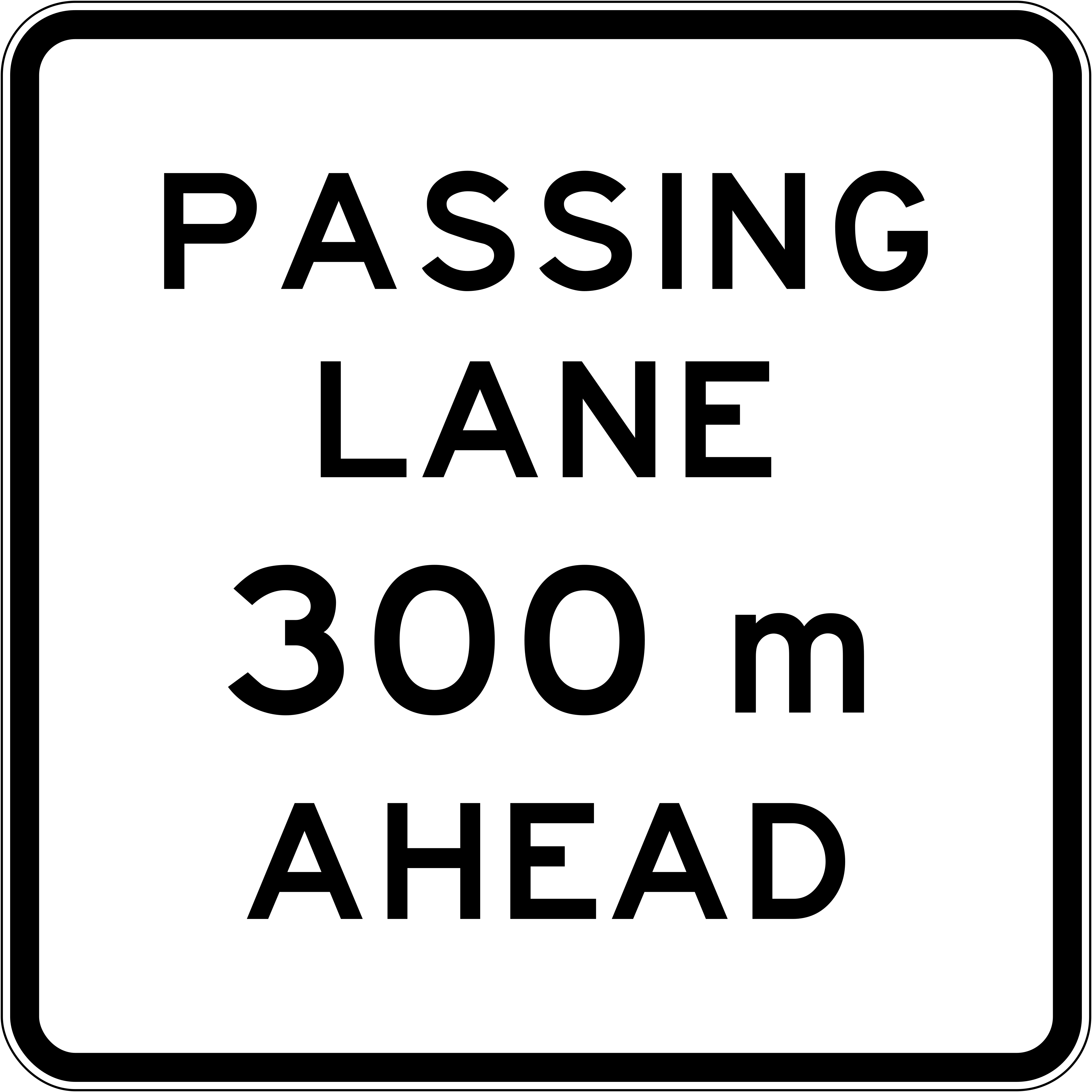 Passing lane ahead 300mCode A42-1A passing lane begins 300 m ahead.
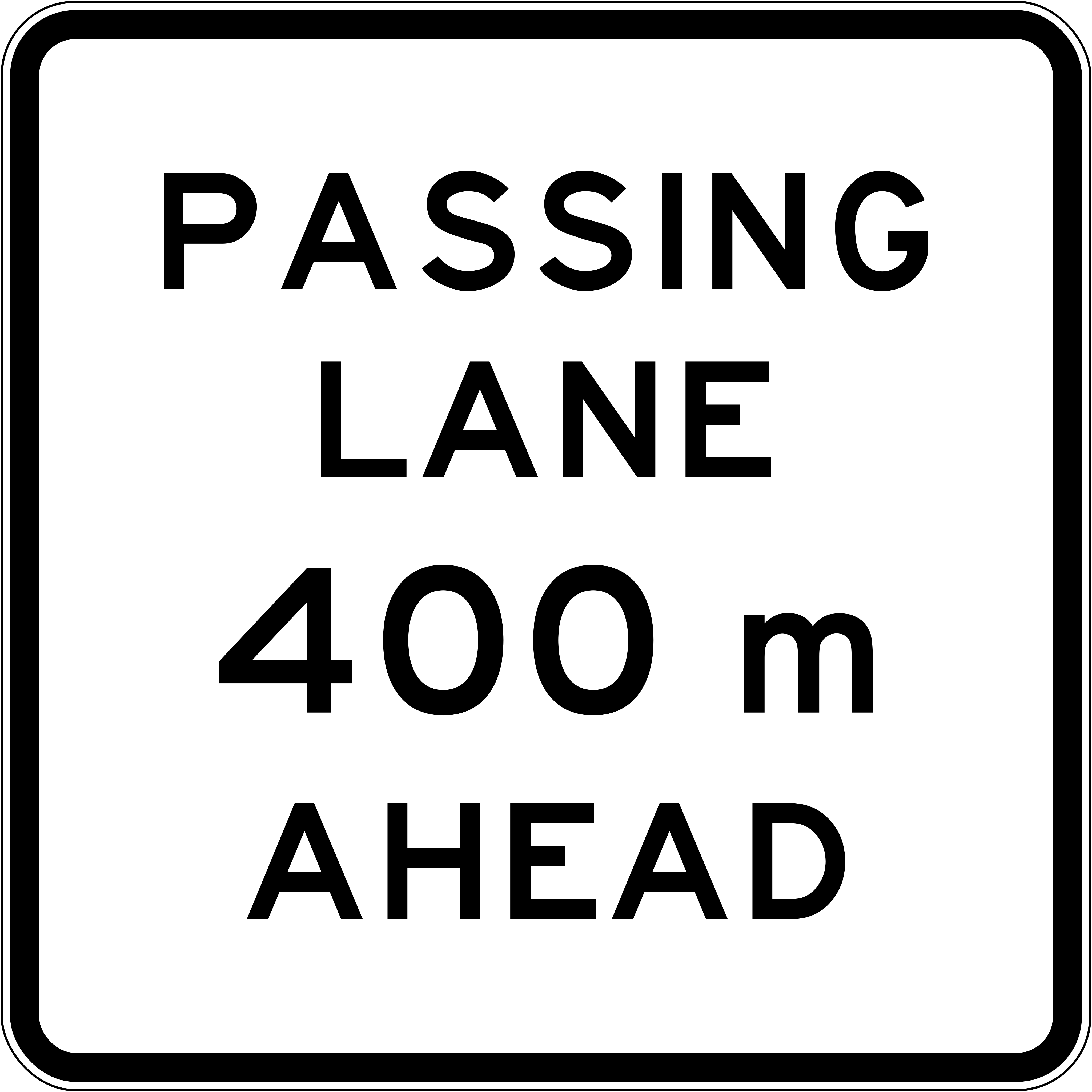 Passing lane ahead 400mCode A42-1A passing lane begins 400 m ahead.
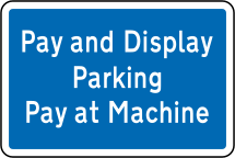 Pay and display parkingParking sign indicating a pay and display parking area where drivers must pay at the machine and display their ticket.
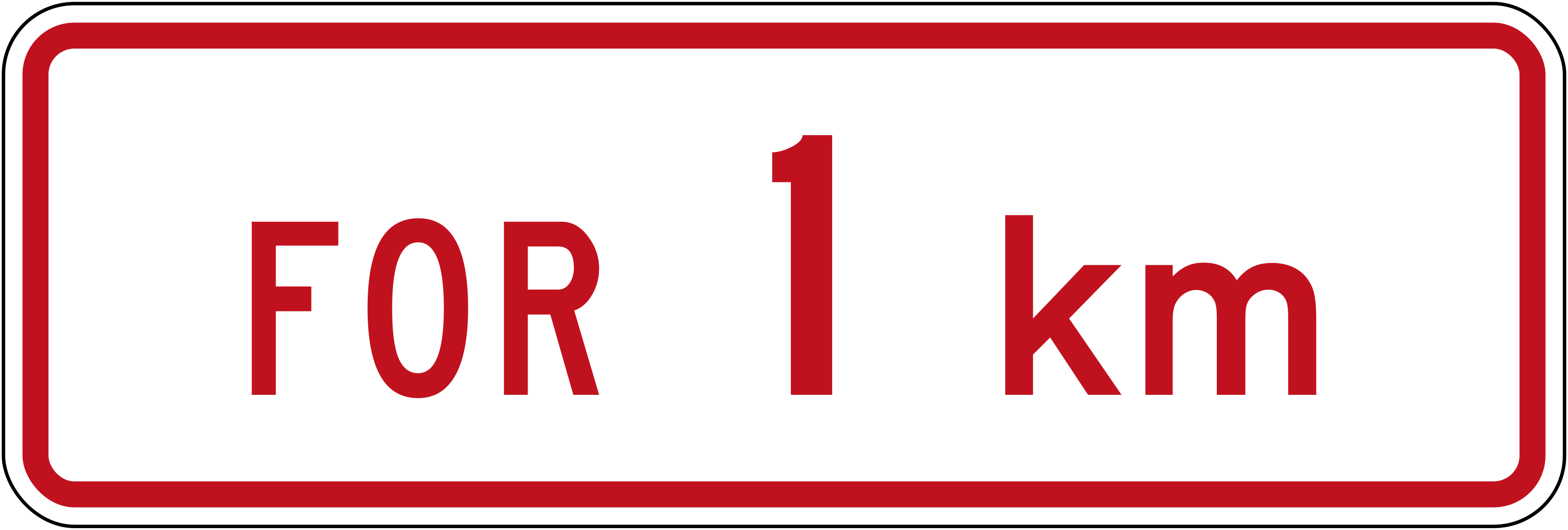 For 1kmCode R6-10.2Supplementary panel indicating a restriction applies for the next 1 km.
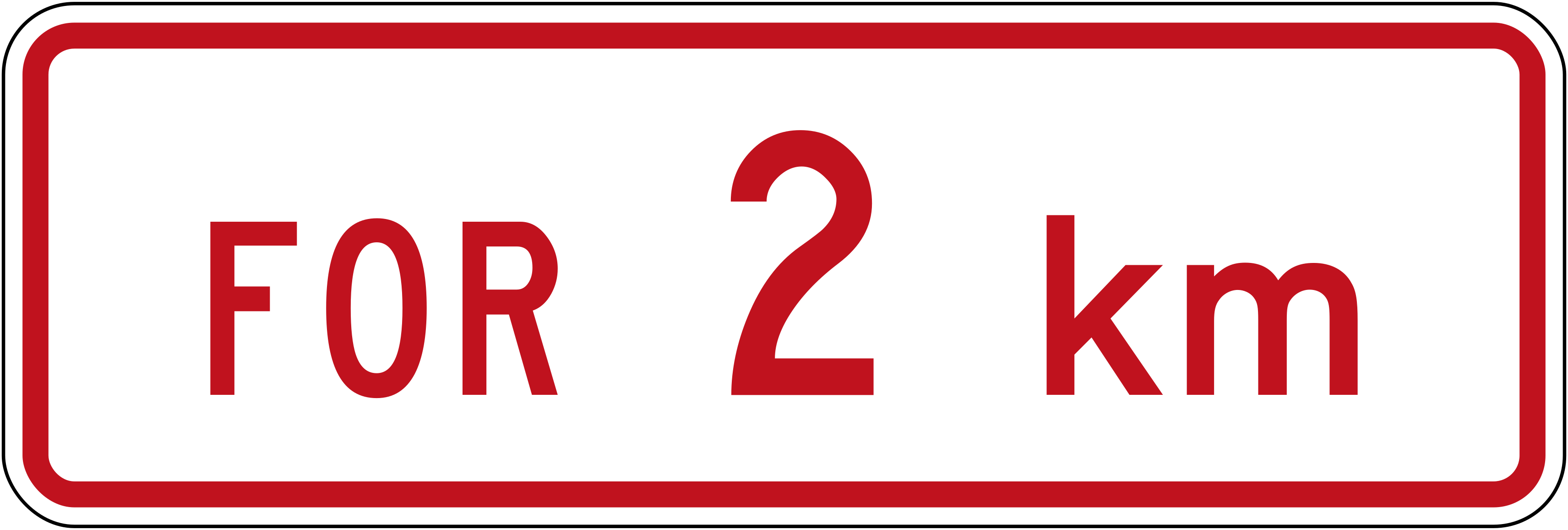 For 2kmCode R6-10.2Supplementary panel indicating a restriction applies for the next 2 km.
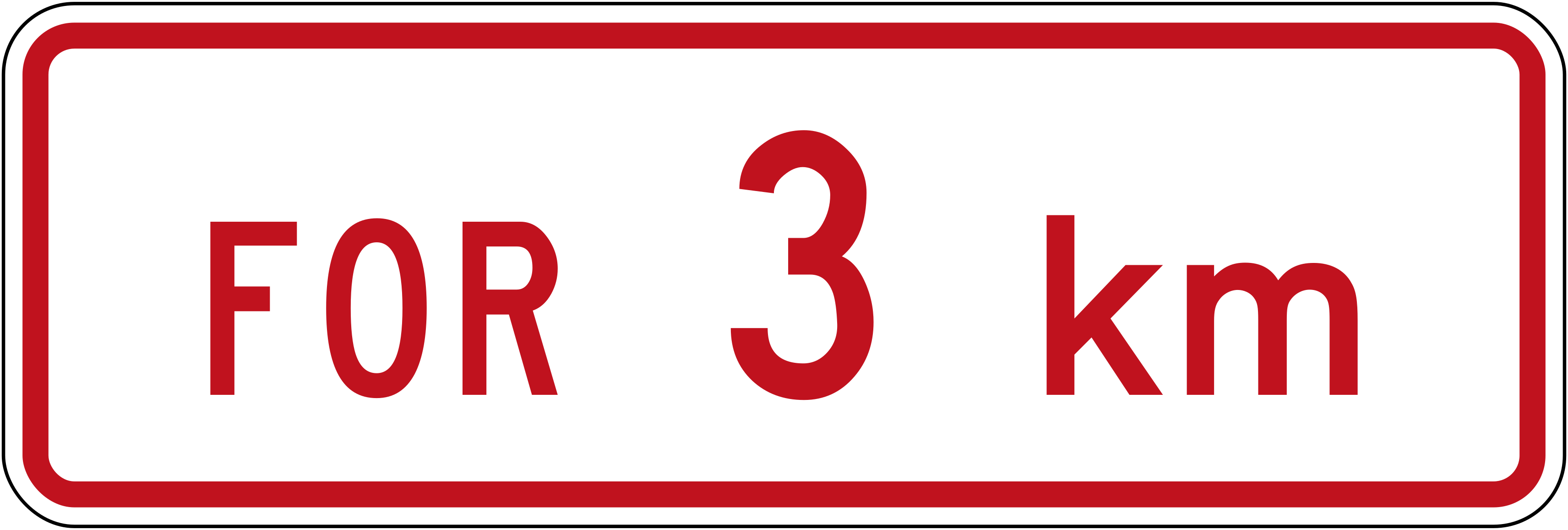 For 3kmCode R6-10.2Supplementary panel indicating a restriction applies for the next 3 km.
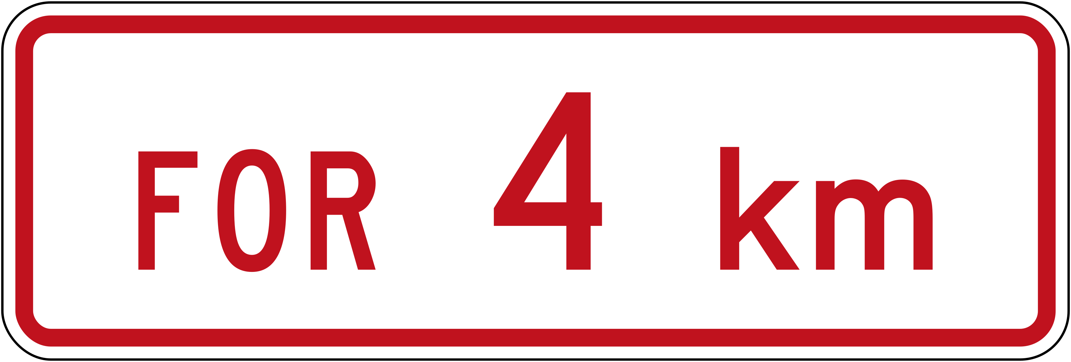 For 4kmCode R6-10.2Supplementary panel indicating a restriction applies for the next 4 km.
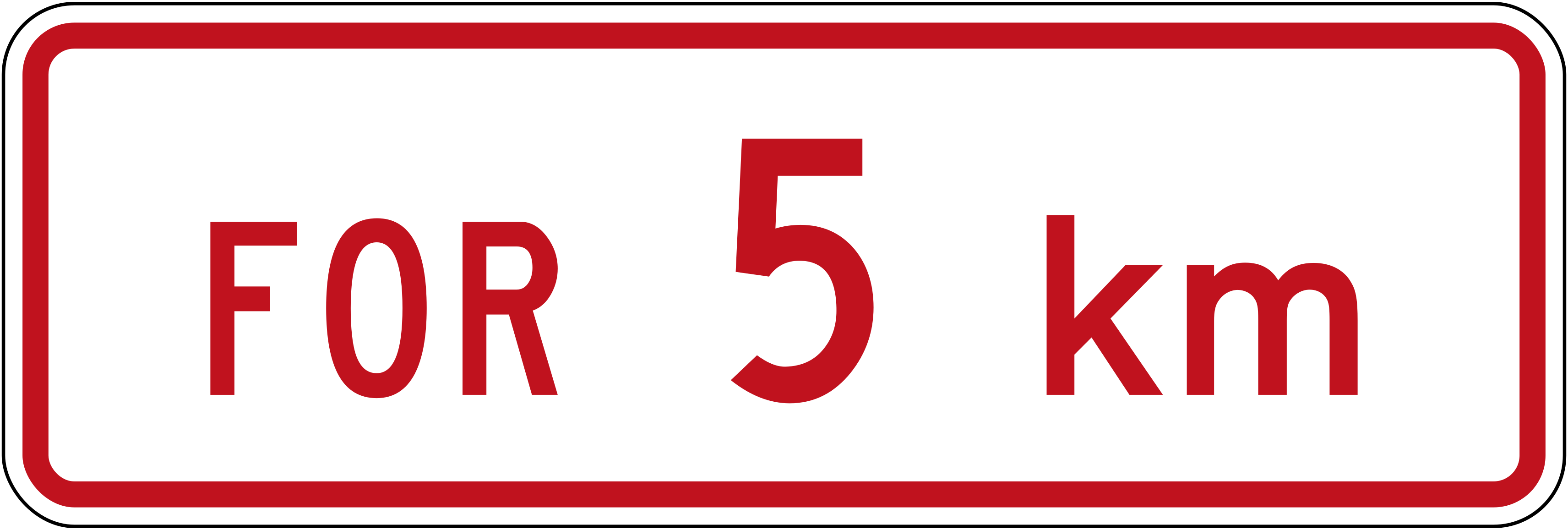 For 5kmCode R6-10.2Supplementary panel indicating a restriction applies for the next 5 km.
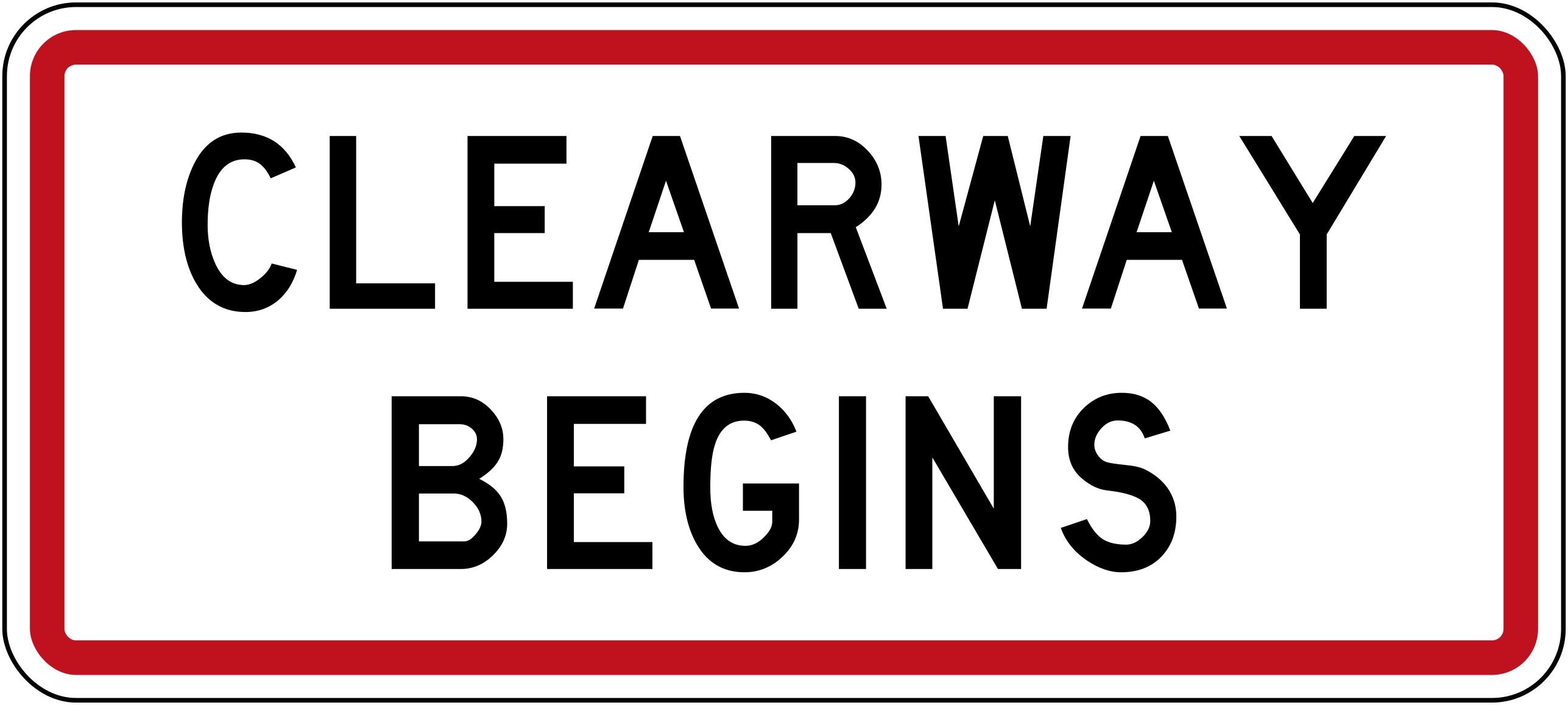
 Clearway beginsCode R6-12.3Marks the point where a clearway restriction begins.
 Clearway endsCode R6-12.4Marks the point where a clearway restriction ends.
 Parking 120min leftCode R6-30.1Parking permitted for a maximum of 120 minutes, zone extends to the left.
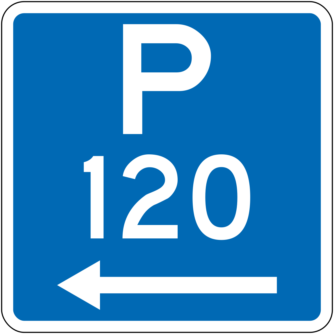 Parking 120min leftCode R6-30L-120Parking permitted for a maximum of 120 minutes, zone extends to the left.
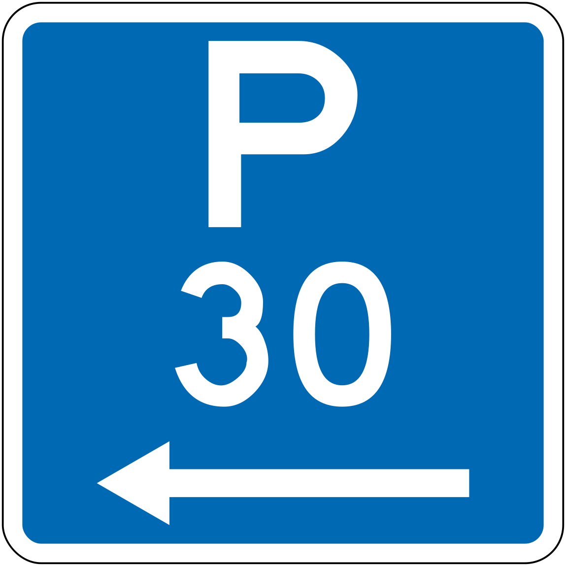 Parking 30min leftCode R6-30L-30Parking permitted for a maximum of 30 minutes, zone extends to the left.
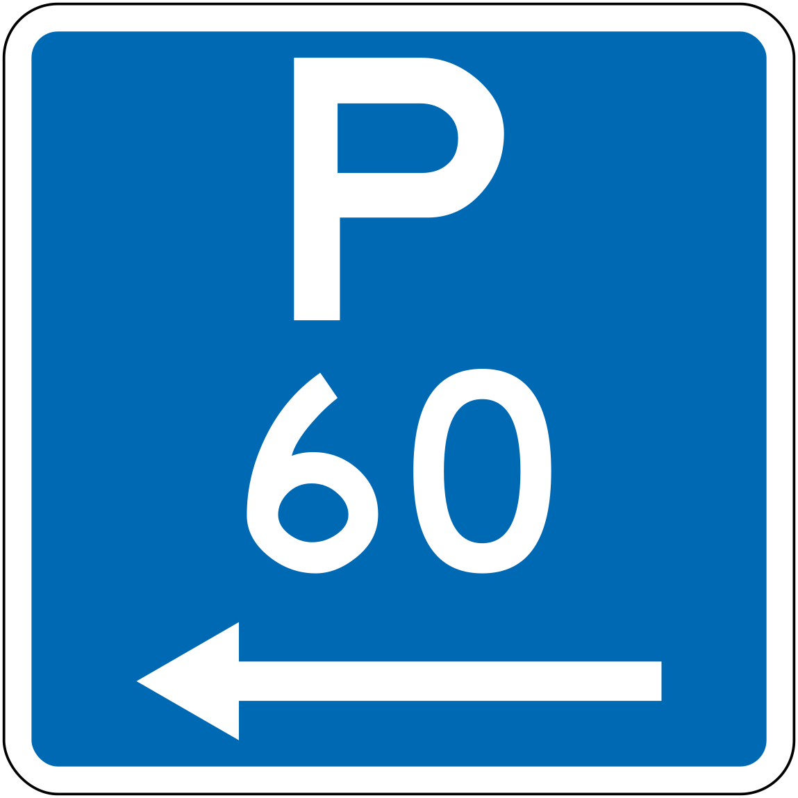 Parking 60min leftCode R6-30L-60Parking permitted for a maximum of 60 minutes, zone extends to the left.
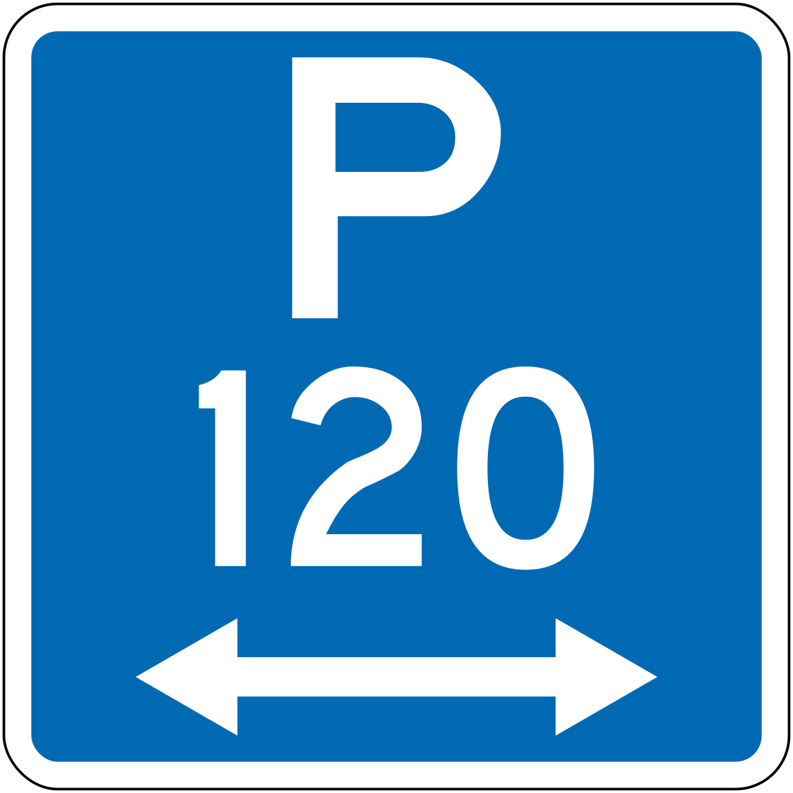 30lr 120 parking 120min bothCode R6-30LR-120Parking permitted for a maximum of 120 minutes, zone extends in both directions.
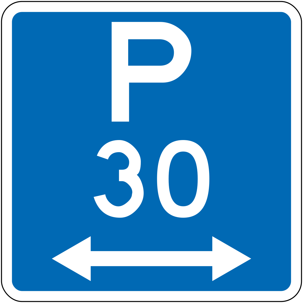 30lr 30 parking 30min bothCode R6-30LR-30Parking permitted for a maximum of 30 minutes, zone extends in both directions.
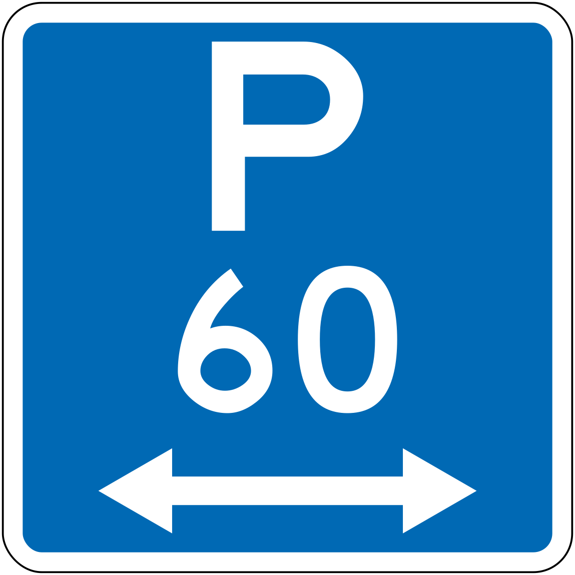 30lr 60 parking 60min bothCode R6-30LR-60Parking permitted for a maximum of 60 minutes, zone extends in both directions.
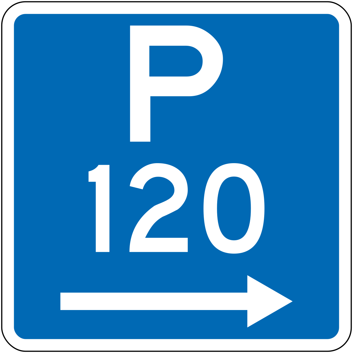 Parking 120min rightCode R6-30R-120Parking permitted for a maximum of 120 minutes, zone extends to the right.
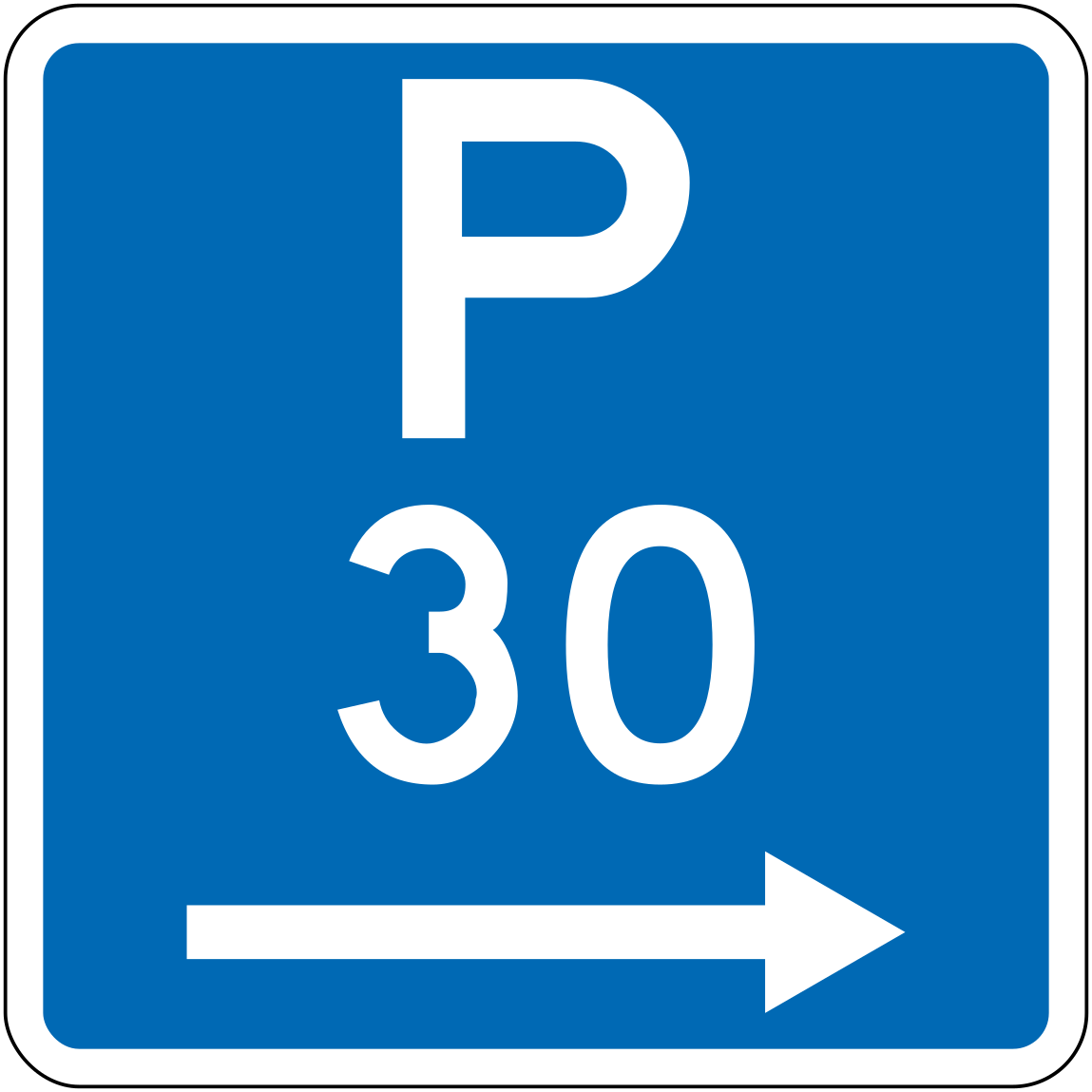 Parking 30min rightCode R6-30R-30Parking permitted for a maximum of 30 minutes, zone extends to the right.
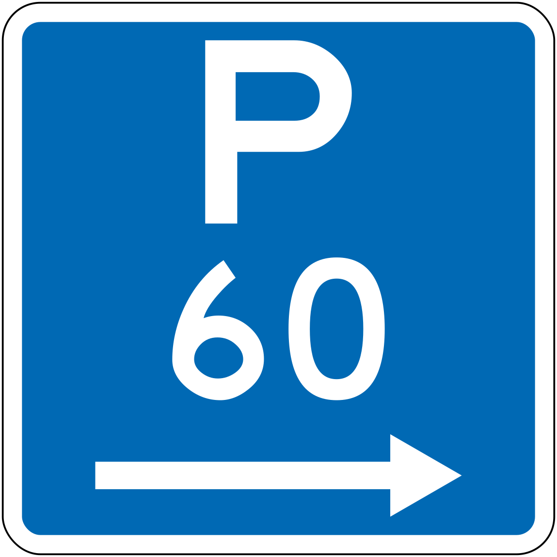 Parking 60min rightCode R6-30R-60Parking permitted for a maximum of 60 minutes, zone extends to the right.
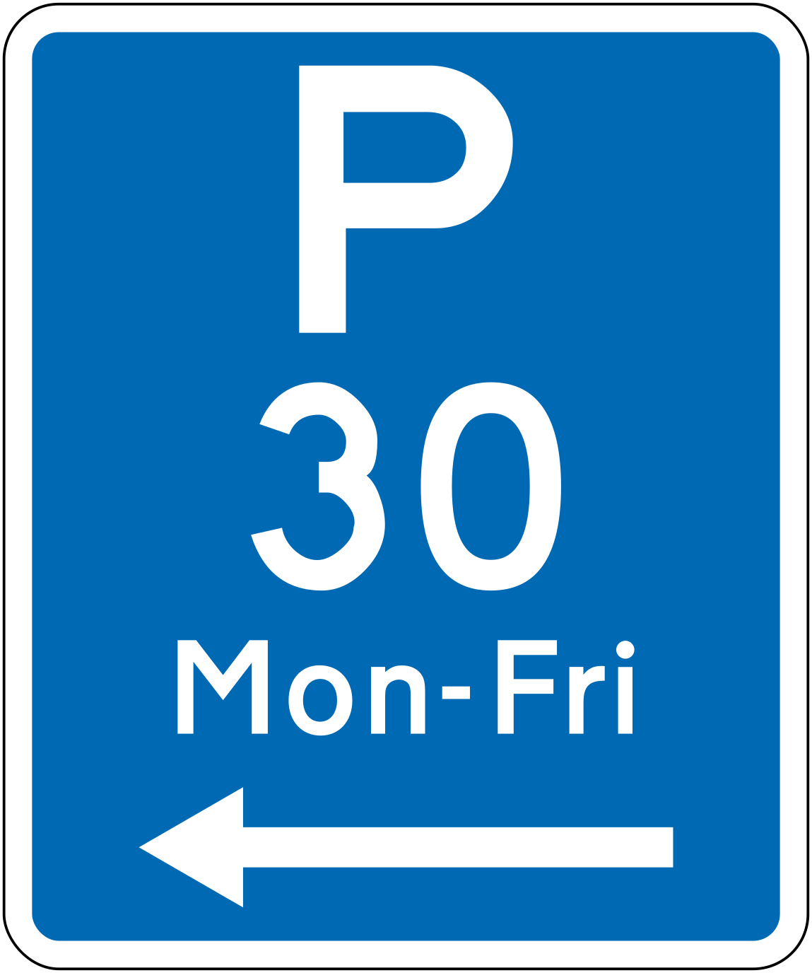 Parking 30min mon fri leftCode R6-31L-30Parking permitted for a maximum of 30 minutes Monday to Friday, zone extends to the left.
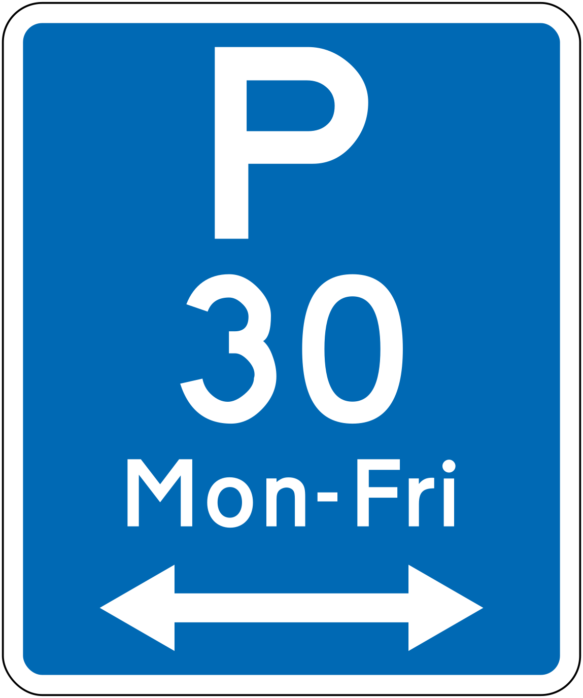 31lr 30 parking 30min mon fri bothCode R6-31LR-30Parking permitted for a maximum of 30 minutes Monday to Friday, zone extends in both directions.
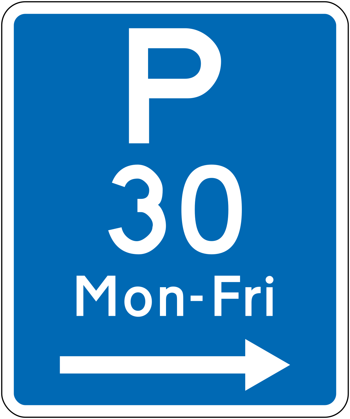 Parking 30min mon fri rightCode R6-31R-30Parking permitted for a maximum of 30 minutes Monday to Friday, zone extends to the right.
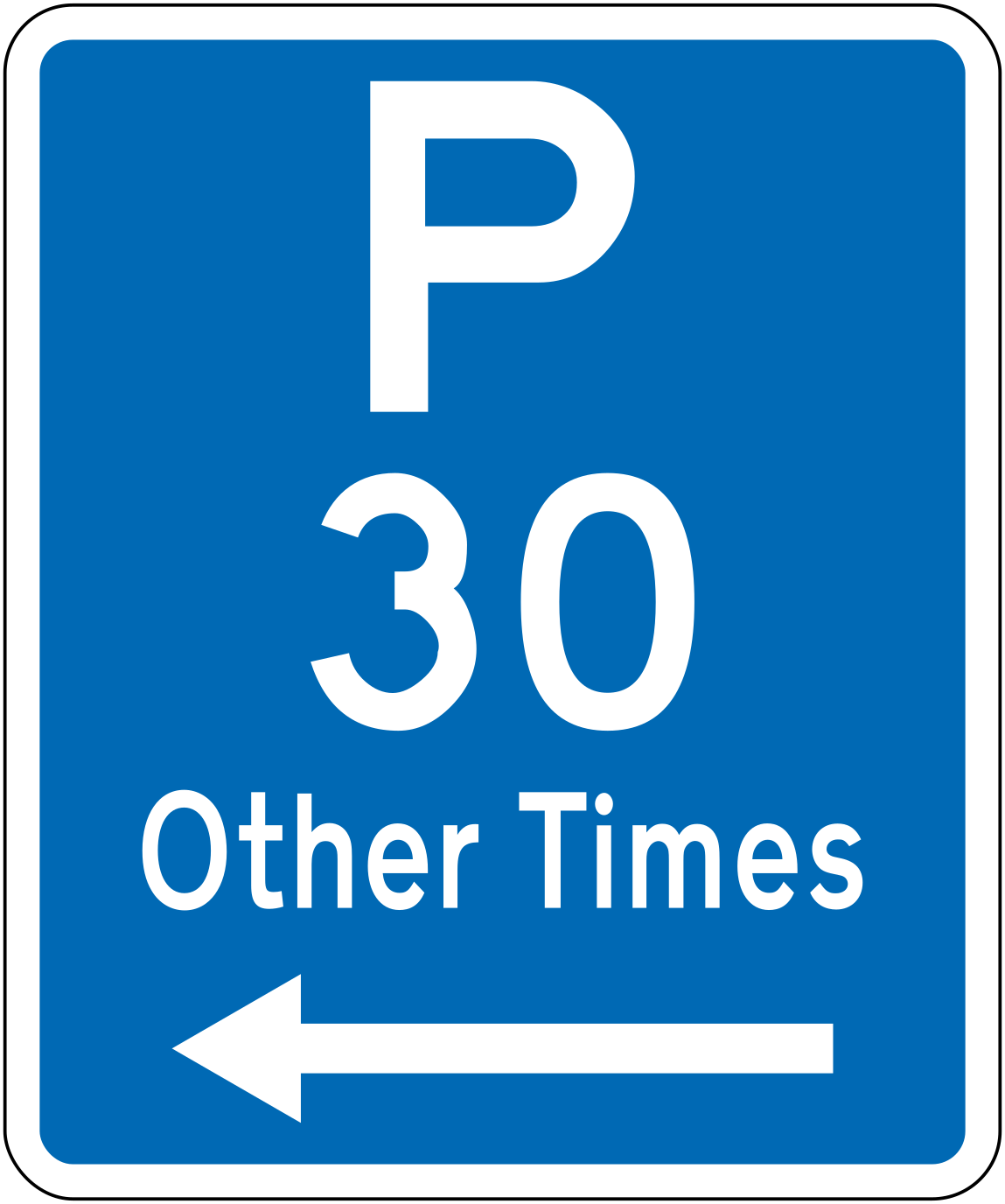 Parking 30min other times leftCode R6-32L-30Parking permitted for a maximum of 30 minutes at other times (outside specified restricted hours), zone extends to the left.
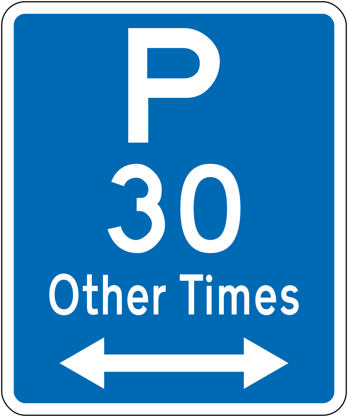 32lr 30 parking 30min other times bothCode R6-32LR-30Parking permitted for a maximum of 30 minutes at other times, zone extends in both directions.
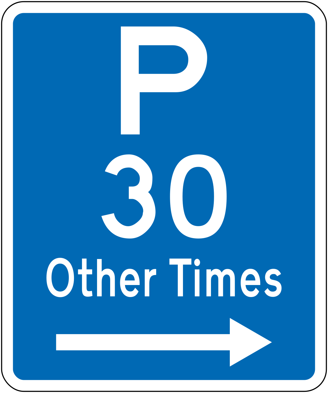 Parking 30min other times rightCode R6-32R-30Parking permitted for a maximum of 30 minutes at other times, zone extends to the right.
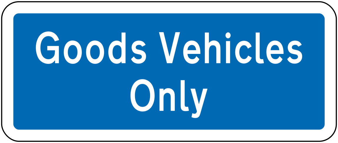 Goods vehicles onlyCode R6-50.1Parking area restricted to goods vehicles only.
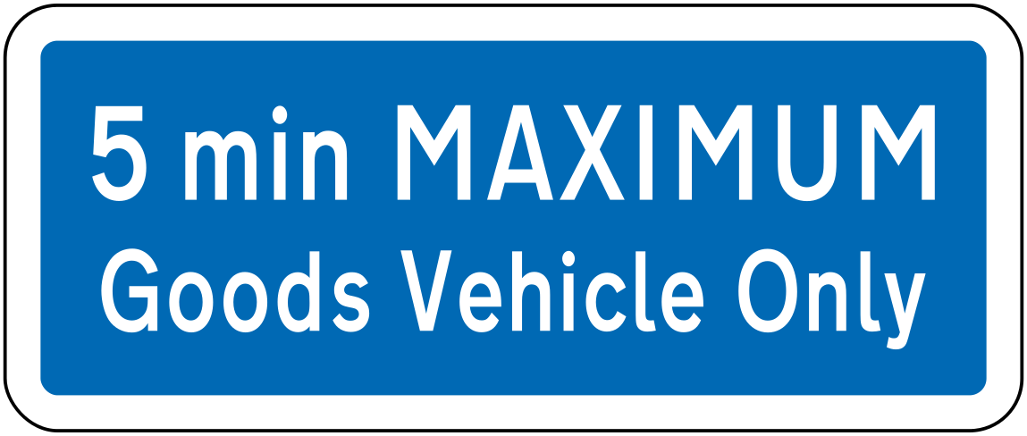 5min max goods vehicleCode R6-50.2Supplementary panel indicating a 5-minute maximum stay for goods vehicles.
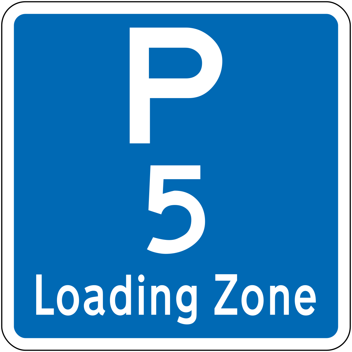 Loading zoneCode R6-50-5Loading zone — parking permitted for a maximum of 5 minutes for loading and unloading only.
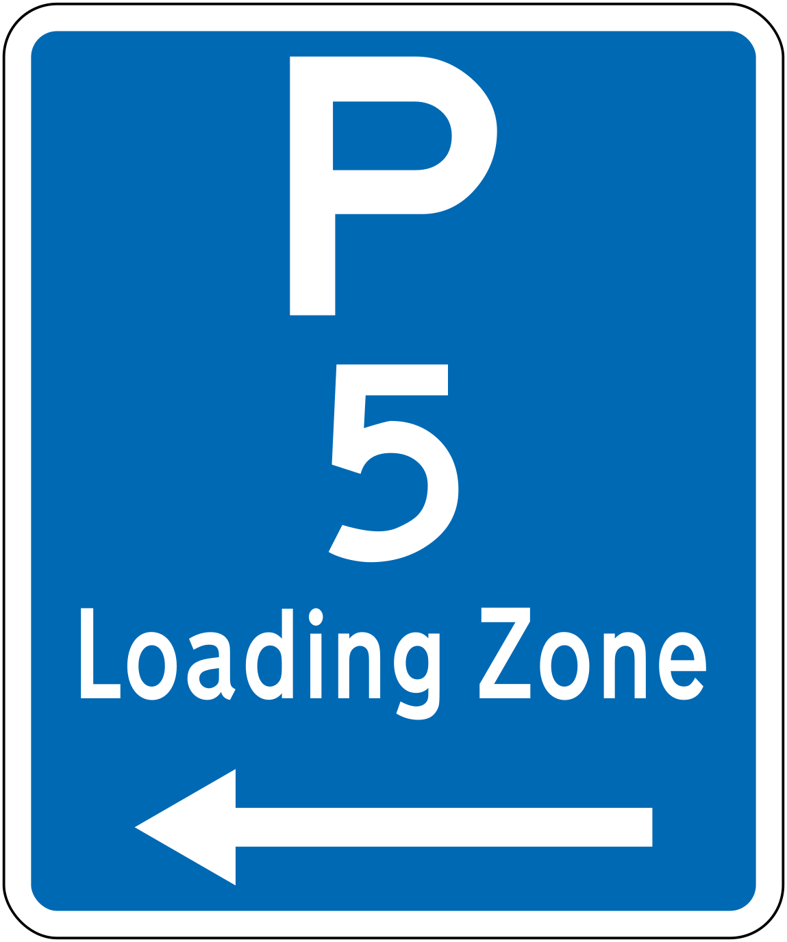 Loading zone leftCode R6-50L-5Loading zone — 5-minute maximum parking for loading/unloading, zone extends to the left.
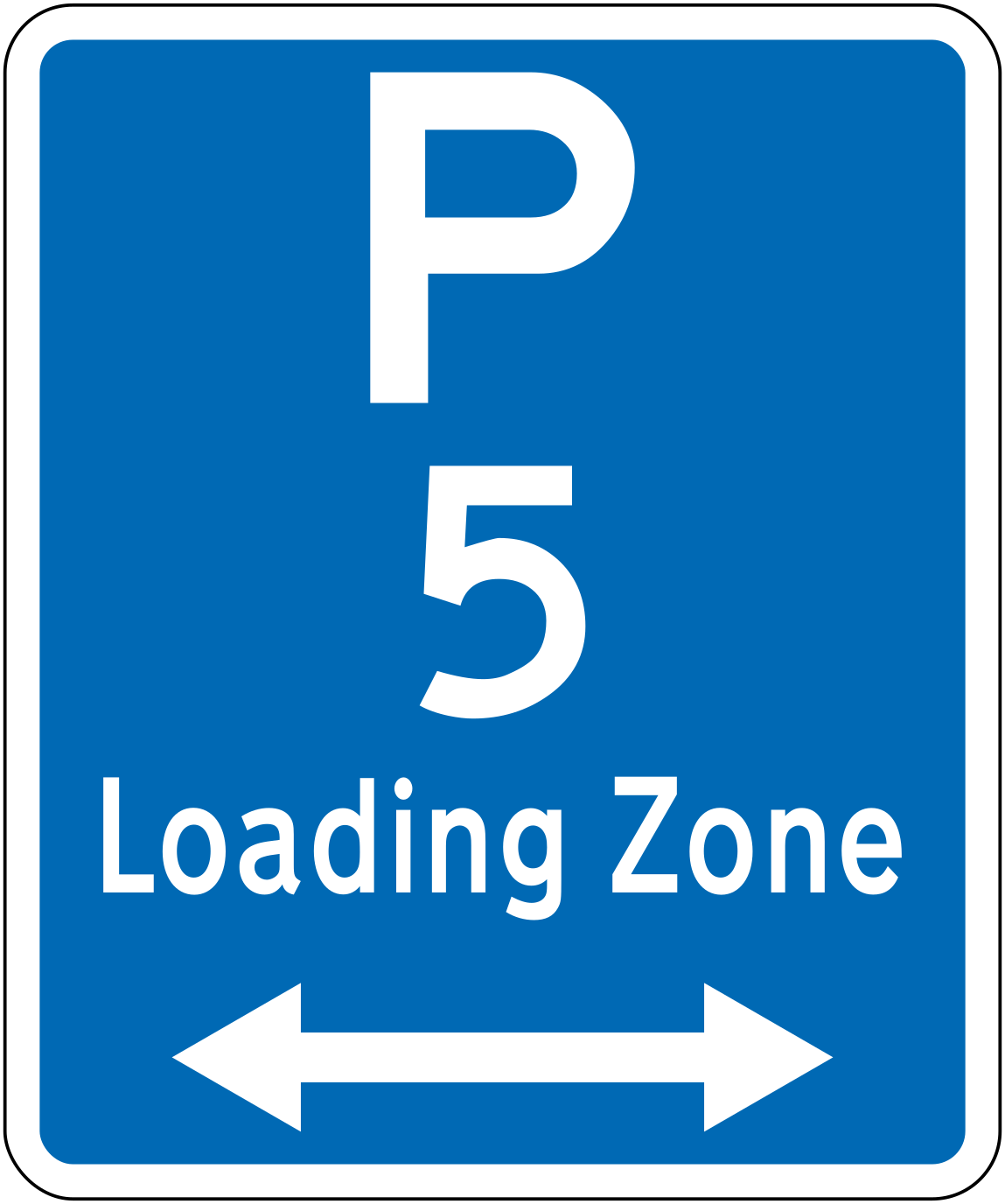 50lr 5 loading zone bothCode R6-50LR-5Loading zone — 5-minute maximum parking for loading/unloading, zone extends in both directions.
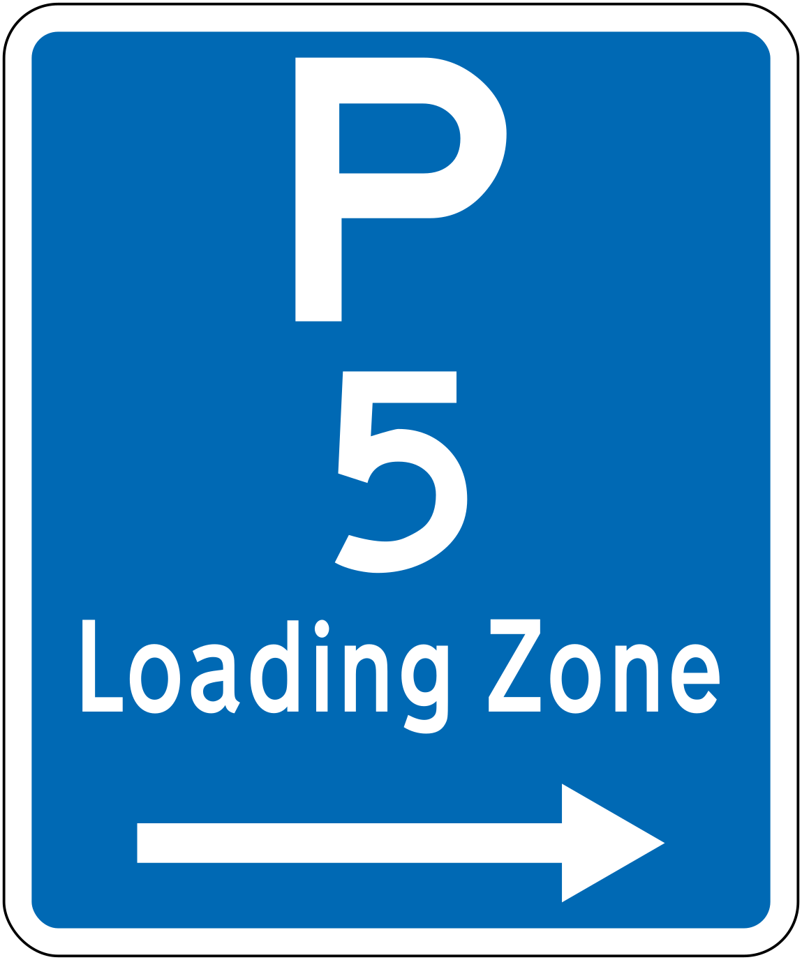 Loading zone rightCode R6-50R-5Loading zone — 5-minute maximum parking for loading/unloading, zone extends to the right.
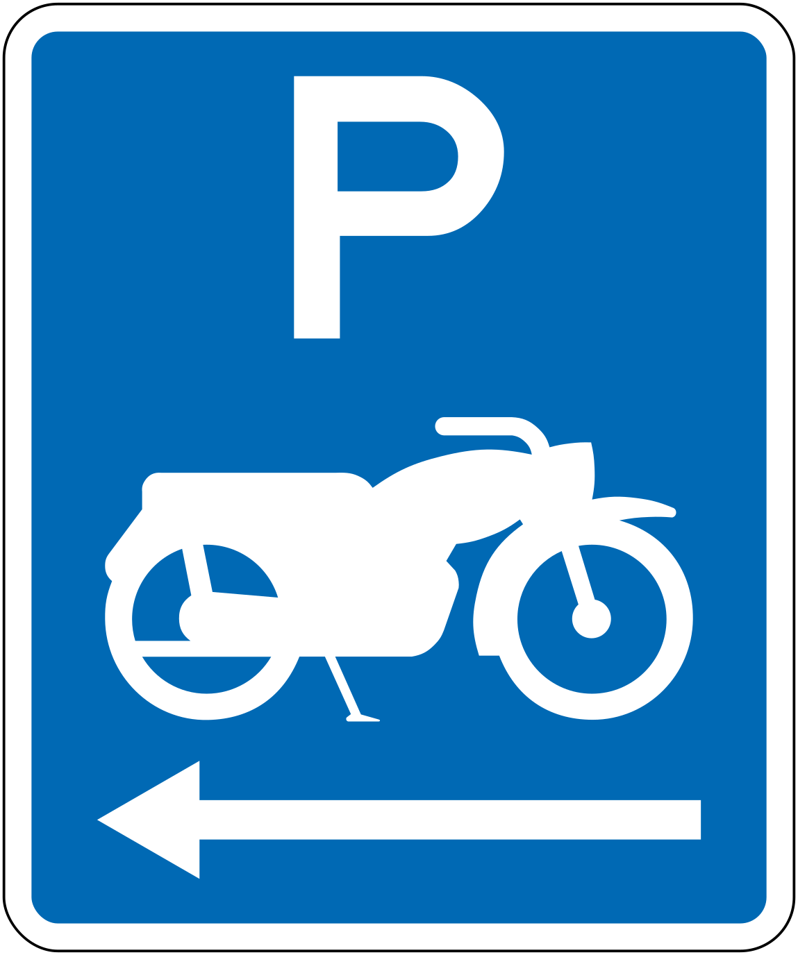 Motorcycle parking leftCode R6-51.1LMotorcycle parking area, zone extends to the left.
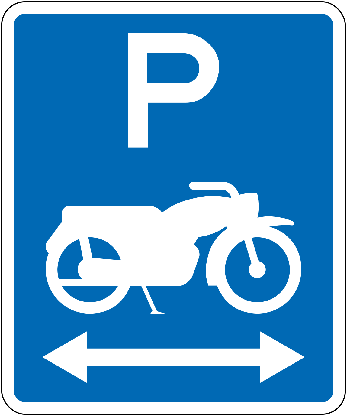 1lr motorcycle parking bothCode R6-51.1LRMotorcycle parking area, zone extends in both directions.
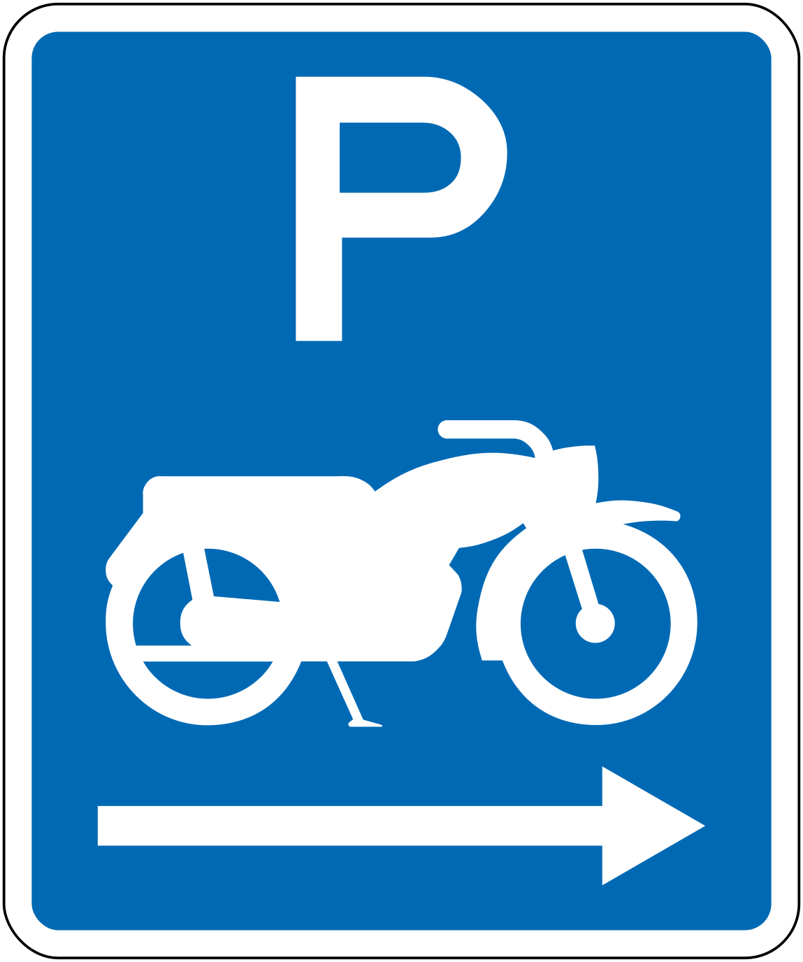 Motorcycle parking rightCode R6-51.1RMotorcycle parking area, zone extends to the right.
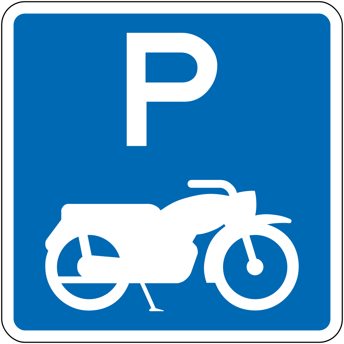 Motorcycle parkingCode R6-51Designated motorcycle parking area.
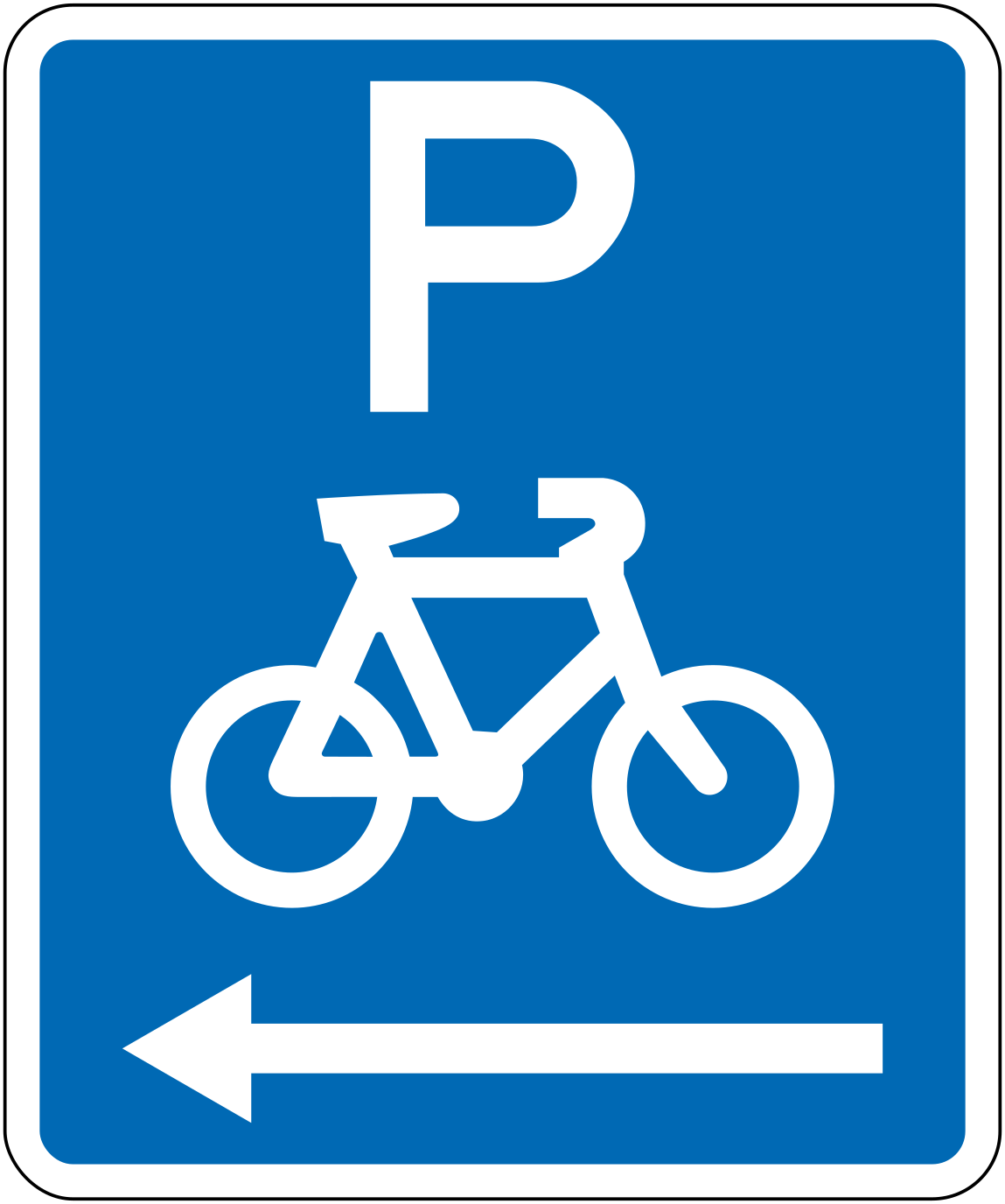 Bicycle parking leftCode R6-52.1LBicycle parking area, zone extends to the left.
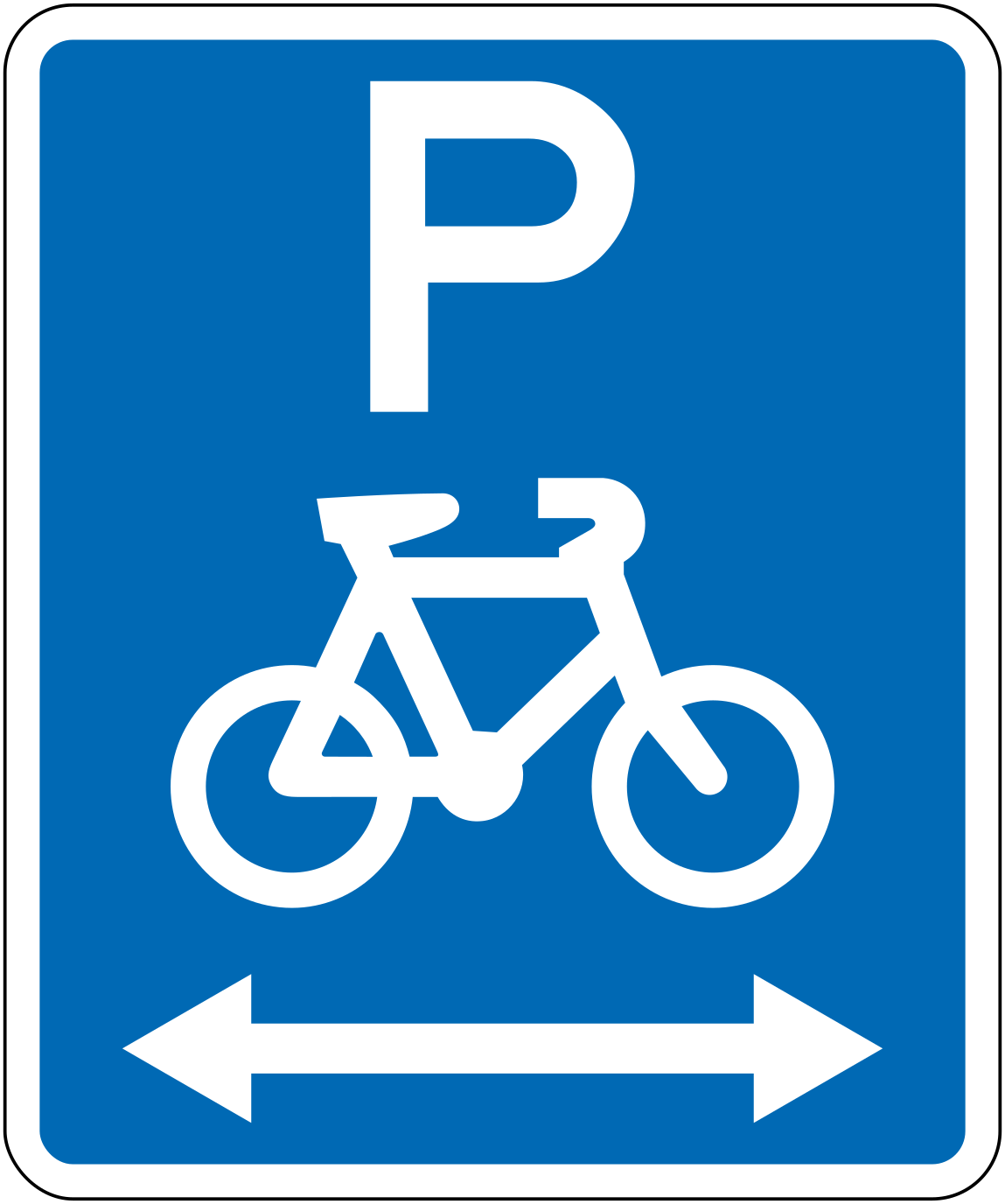 1lr bicycle parking bothCode R6-52.1LRBicycle parking area, zone extends in both directions.
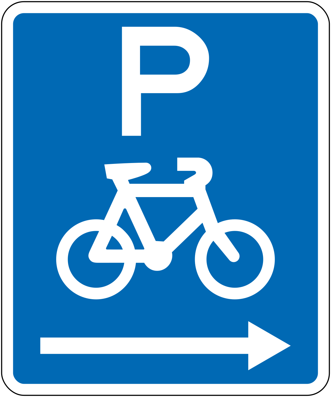 Bicycle parking rightCode R6-52.1RBicycle parking area, zone extends to the right.
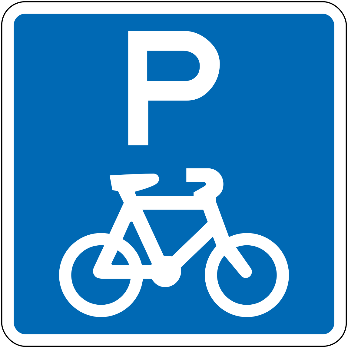 Bicycle parkingCode R6-52Designated bicycle parking area.
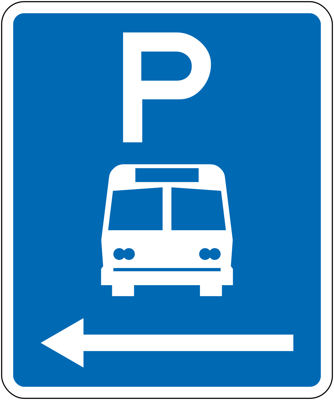 Bus parking leftCode R6-53.1LBus parking area, zone extends to the left.
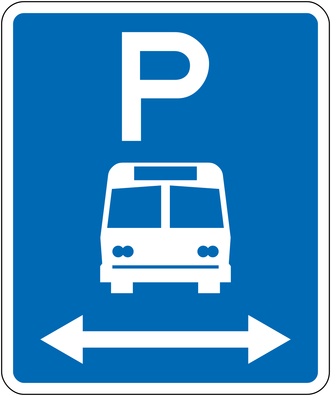 1lr bus parking bothCode R6-53.1LRBus parking area, zone extends in both directions.
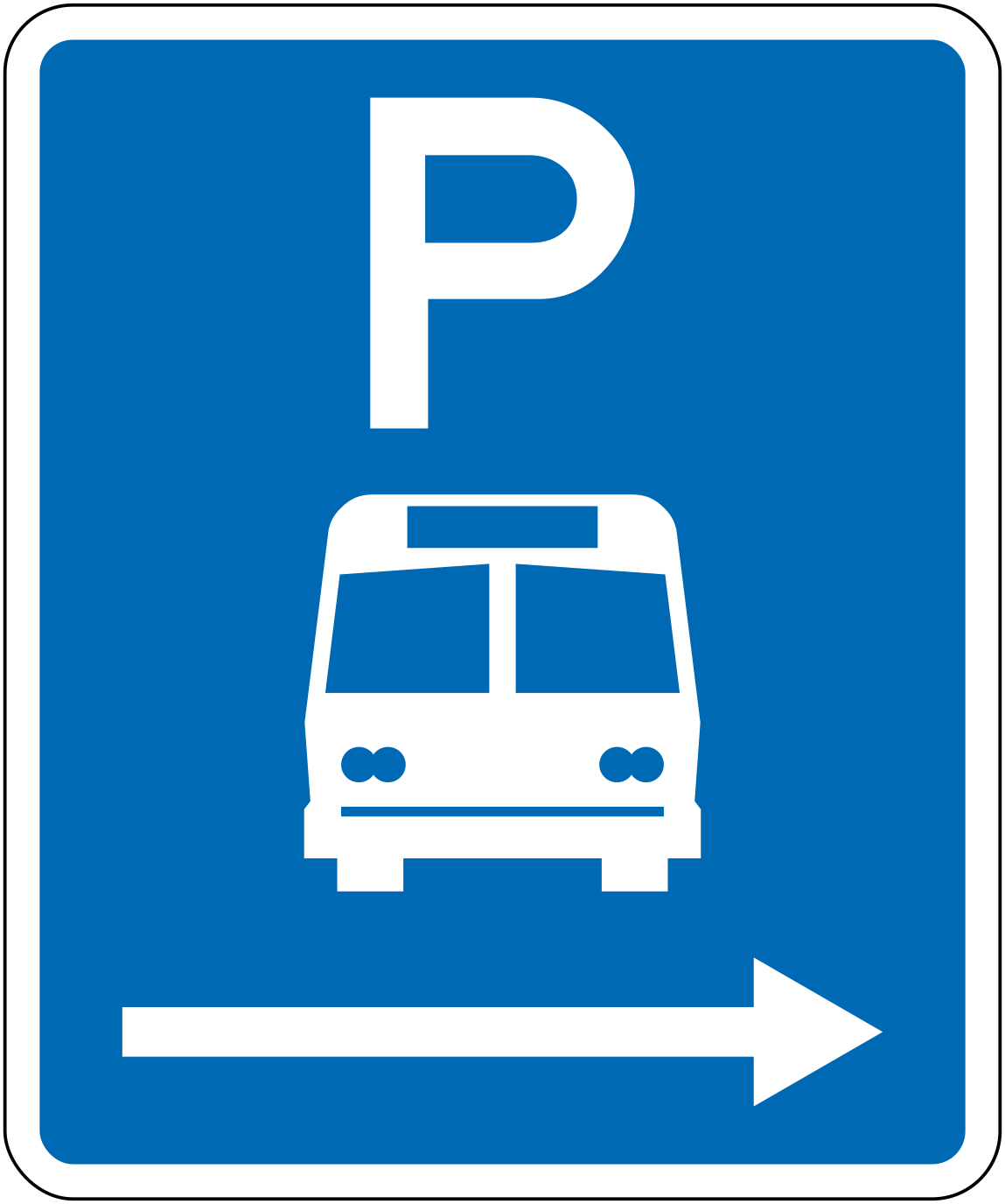 Bus parking rightCode R6-53.1RBus parking area, zone extends to the right.
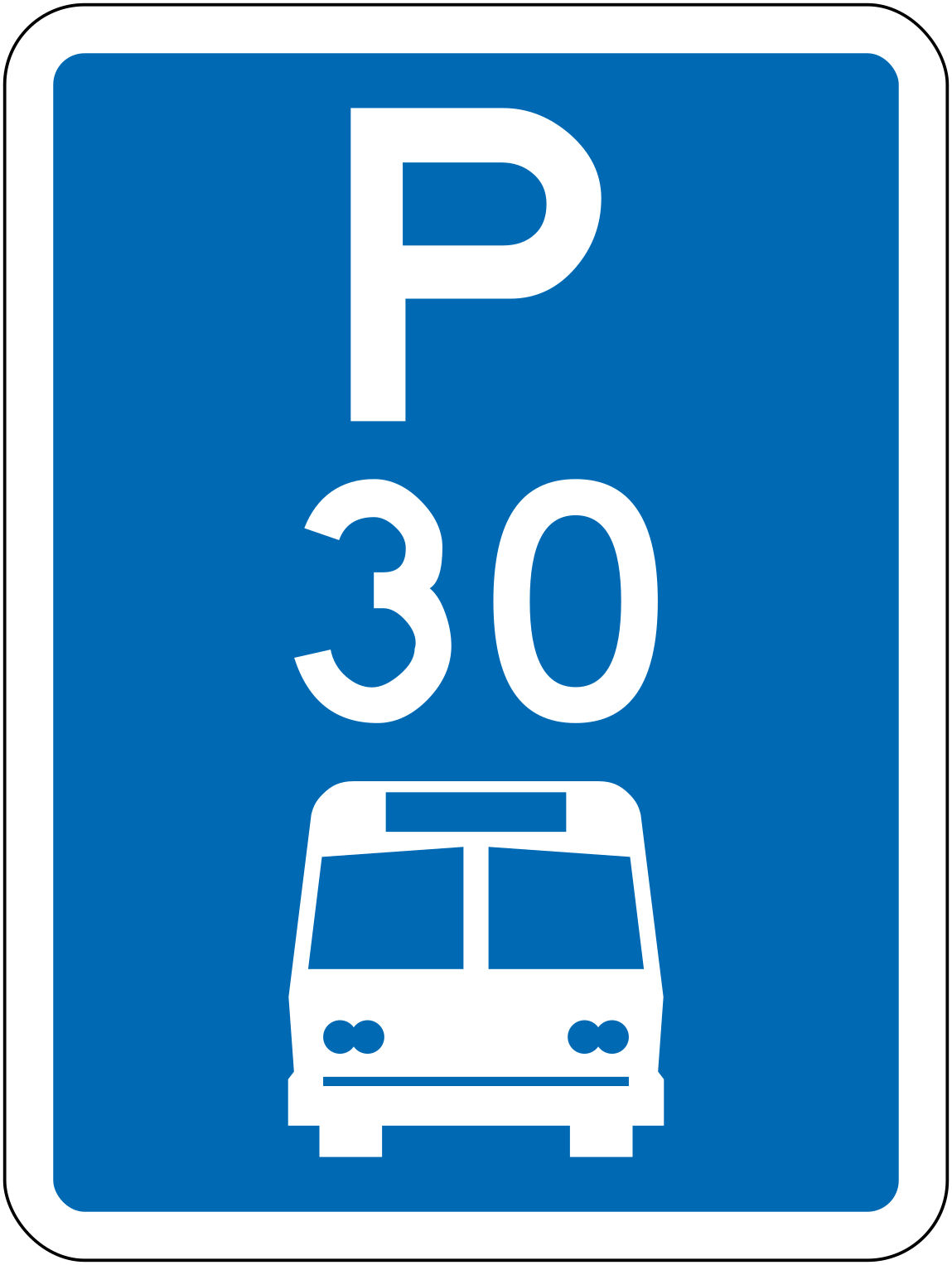 Bus parking 30minCode R6-53.2.1Bus parking area with a 30-minute maximum stay.
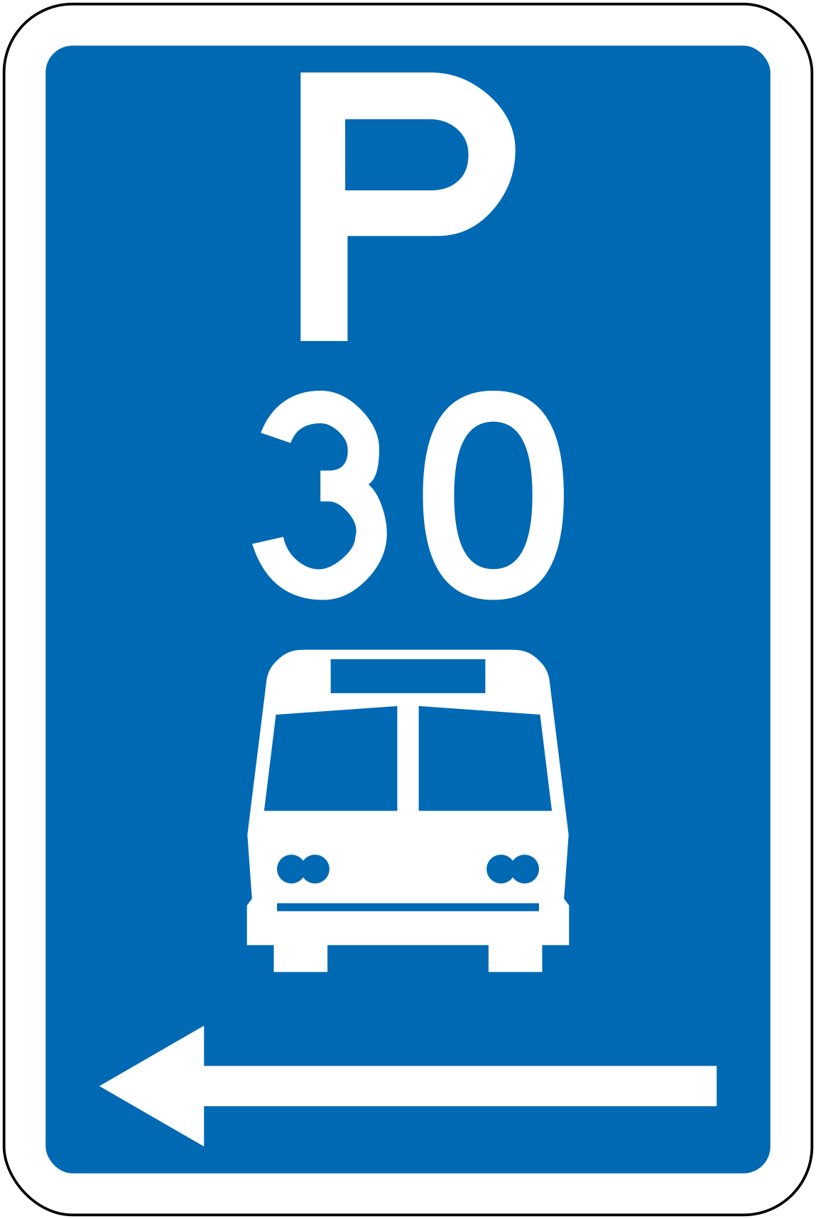 Bus parking 30min leftCode R6-53.2.1LBus parking area with a 30-minute maximum stay, zone extends to the left.
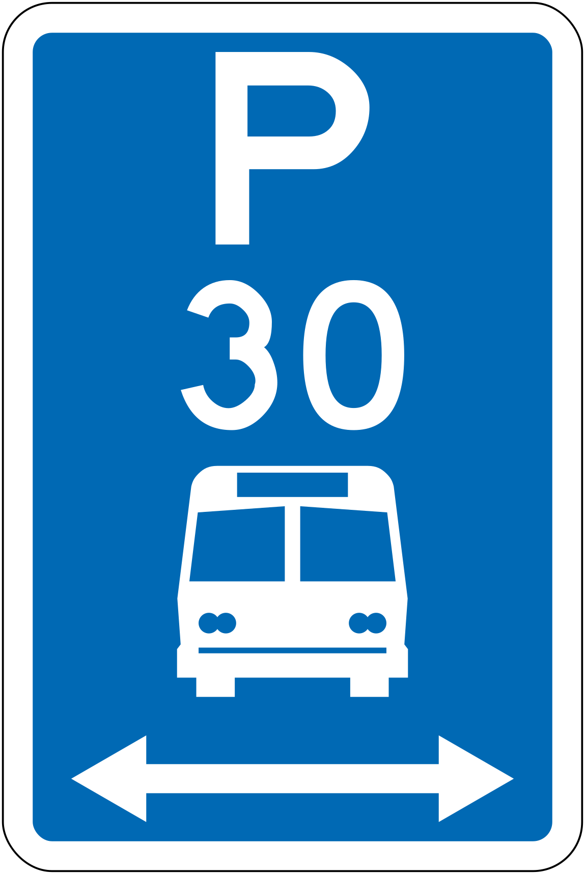 1lr bus parking 30min bothCode R6-53.2.1LRBus parking area with a 30-minute maximum stay, zone extends in both directions.
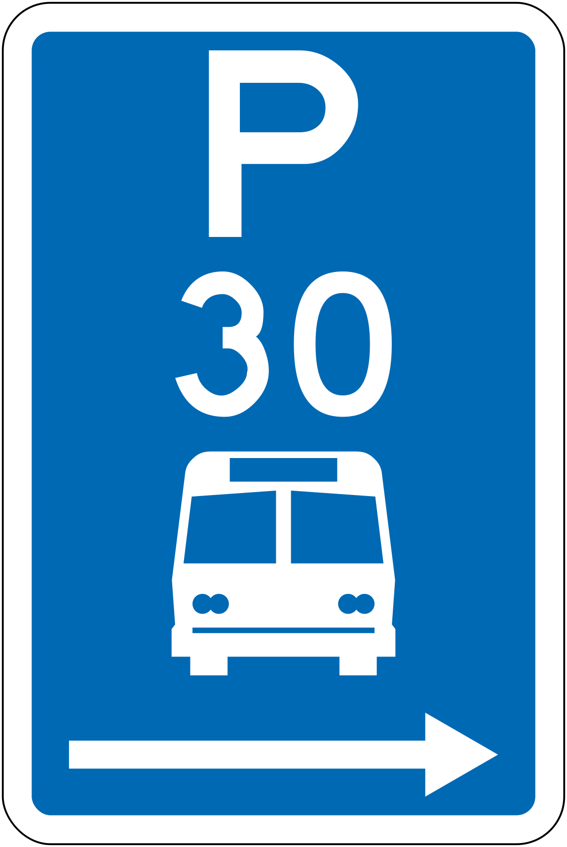 Bus parking 30min rightCode R6-53.2.1RBus parking area with a 30-minute maximum stay, zone extends to the right.
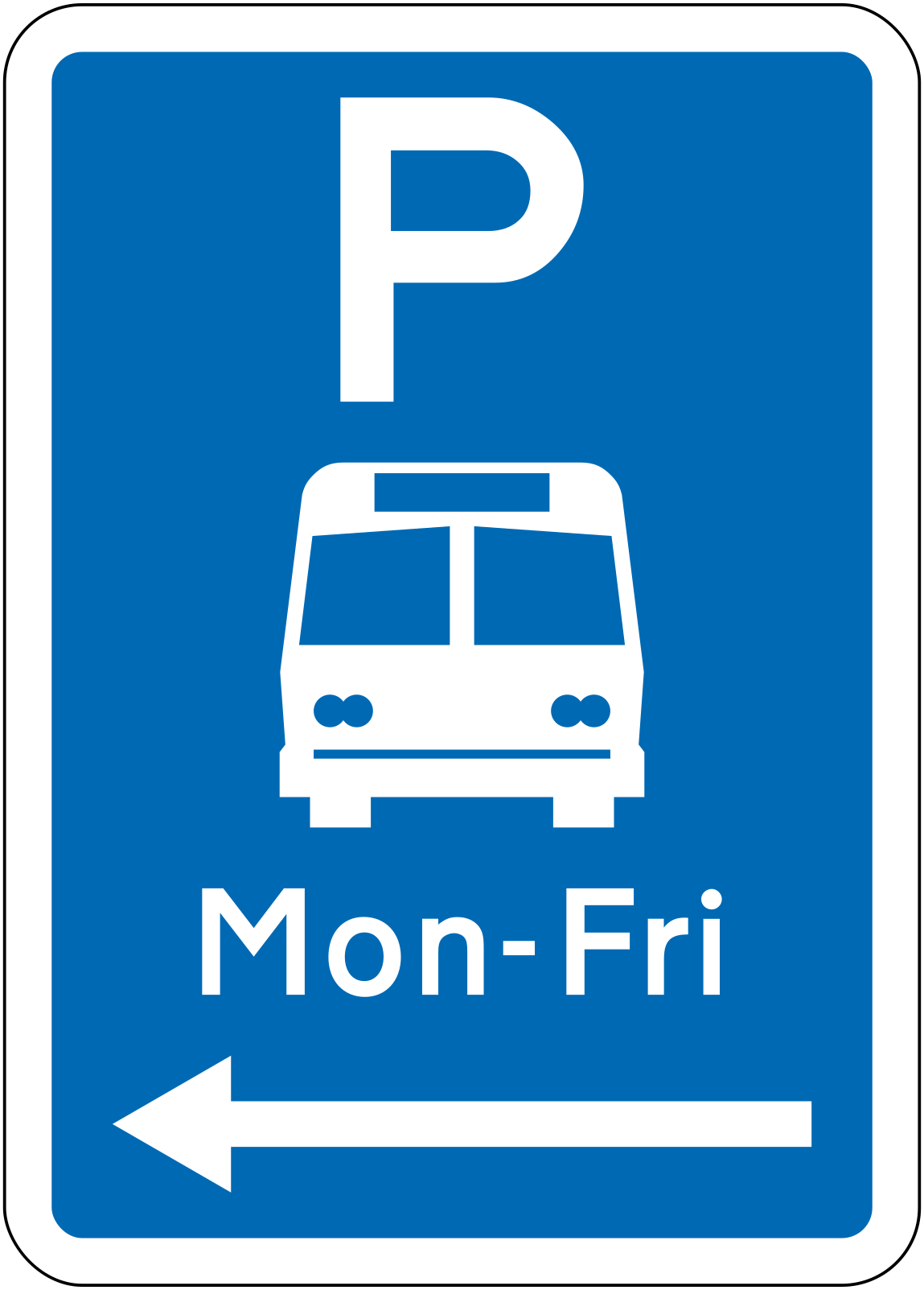 Bus parking mon fri leftCode R6-53.2.2LBus parking area restricted to Monday to Friday, zone extends to the left.
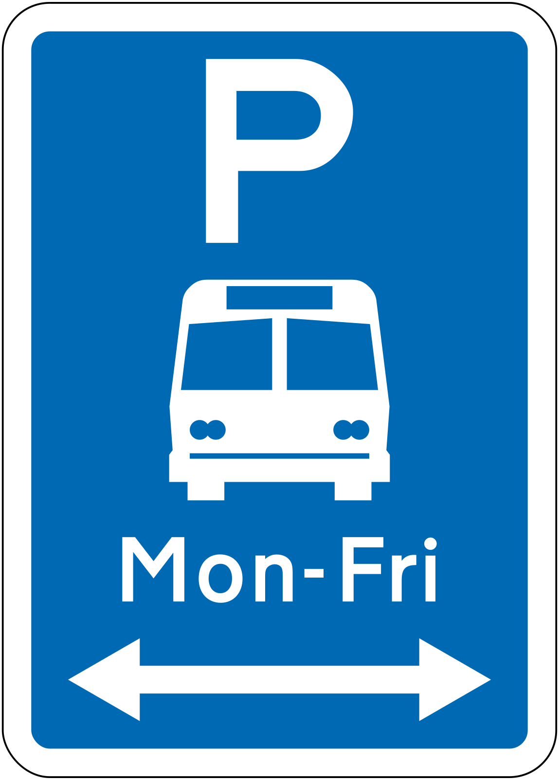 2lr bus parking mon fri bothCode R6-53.2.2LRBus parking area restricted to Monday to Friday, zone extends in both directions.
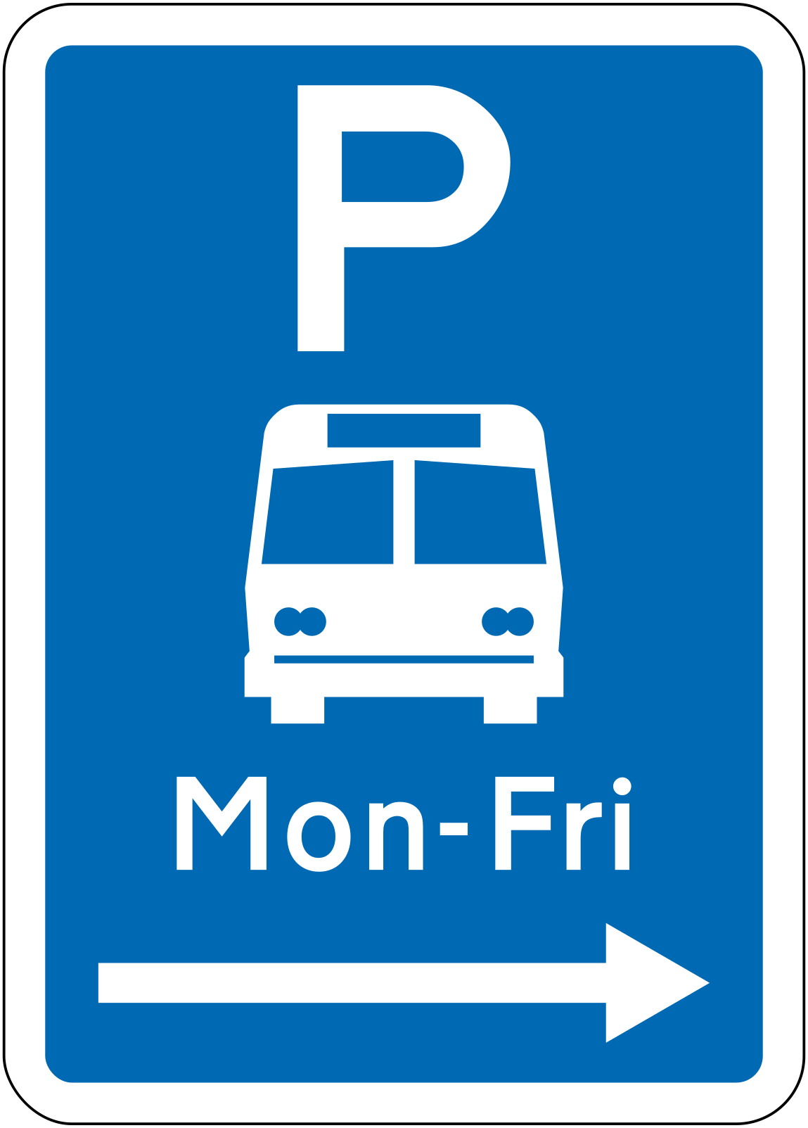 Bus parking mon fri rightCode R6-53.2.2RBus parking area restricted to Monday to Friday, zone extends to the right.
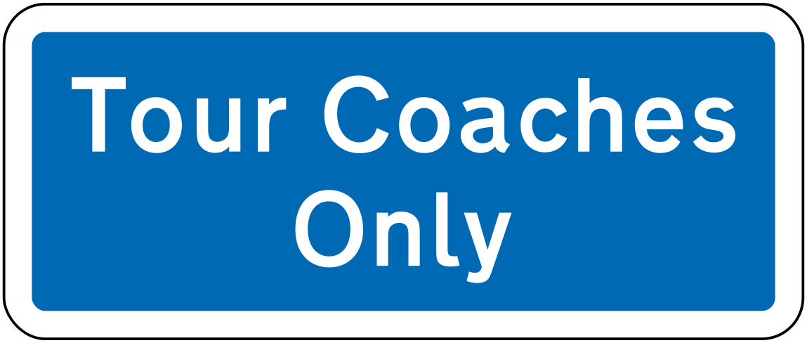 Tour coaches onlyCode R6-53.3Parking area restricted to tour coaches only.
 River name labelCode IG-14Geographical feature label identifying the 'Wanganui River'.
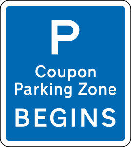 Coupon parking beginsCode RP-11Coupon Parking Zone begins at this point; a coupon (ticket) is required to park.
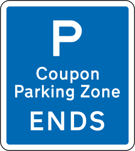 Coupon parking endsCode RP-11Coupon Parking Zone ends at this point; coupon parking restrictions no longer apply.
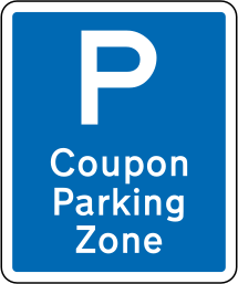 Coupon parking zoneCode RP-12Coupon Parking Zone sign indicating that coupon (pay and display) parking applies in this area.
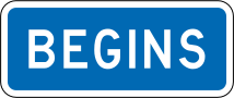 BeginsCode RP-3.2AIndicates the beginning of a parking or traffic restriction zone, used as a supplementary tab panel.
 EndsCode RP-3.3AIndicates the end of a parking or traffic restriction zone, used as a supplementary tab panel.
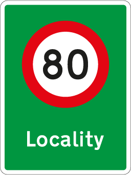 Threshold urban 80Code RS-51Urban locality threshold sign indicating entry into a locality where the speed limit changes to 80 km/h.
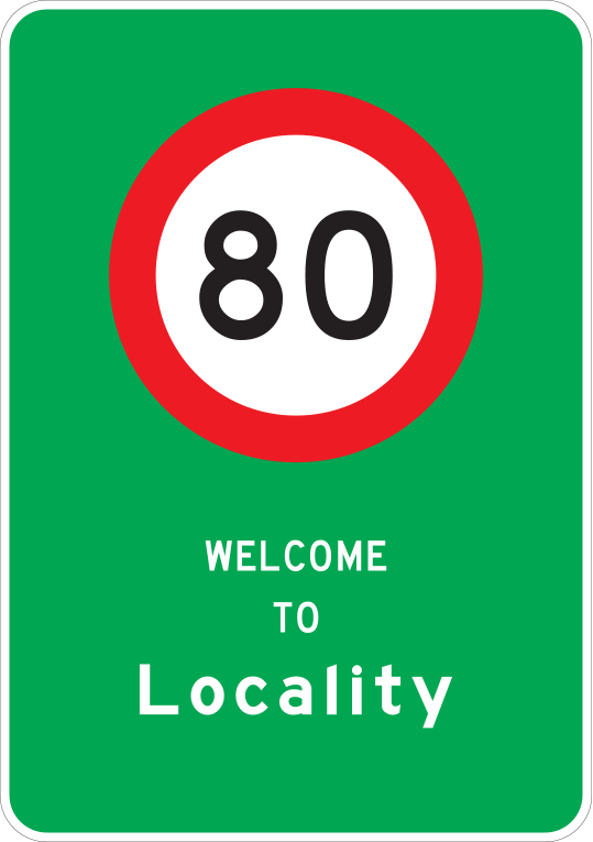 Locality speedCode RS52Locality speed limit sign showing 80 km/h with a welcome message, indicating the speed limit upon entering a locality.
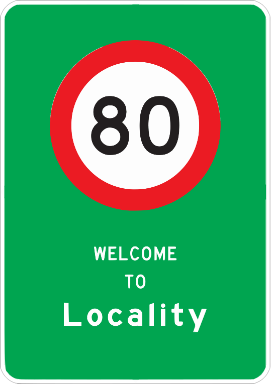 Locality speedCode RS52Locality speed limit sign showing 80 km/h with a welcome message (SVG version), indicating the speed limit upon entering a locality.
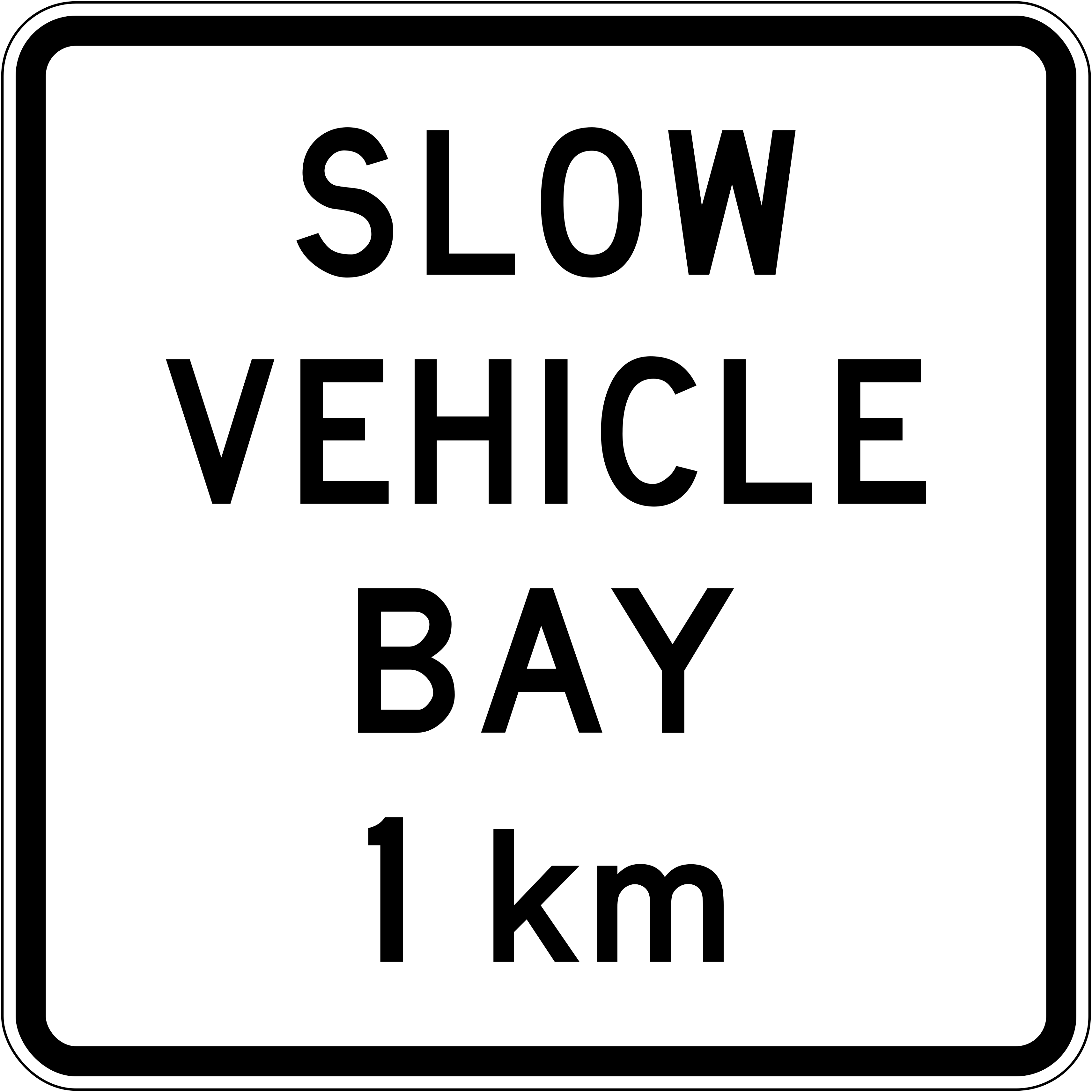 Slow vehicle bay 1kmCode A42-4A slow vehicle bay is located 1 km ahead.
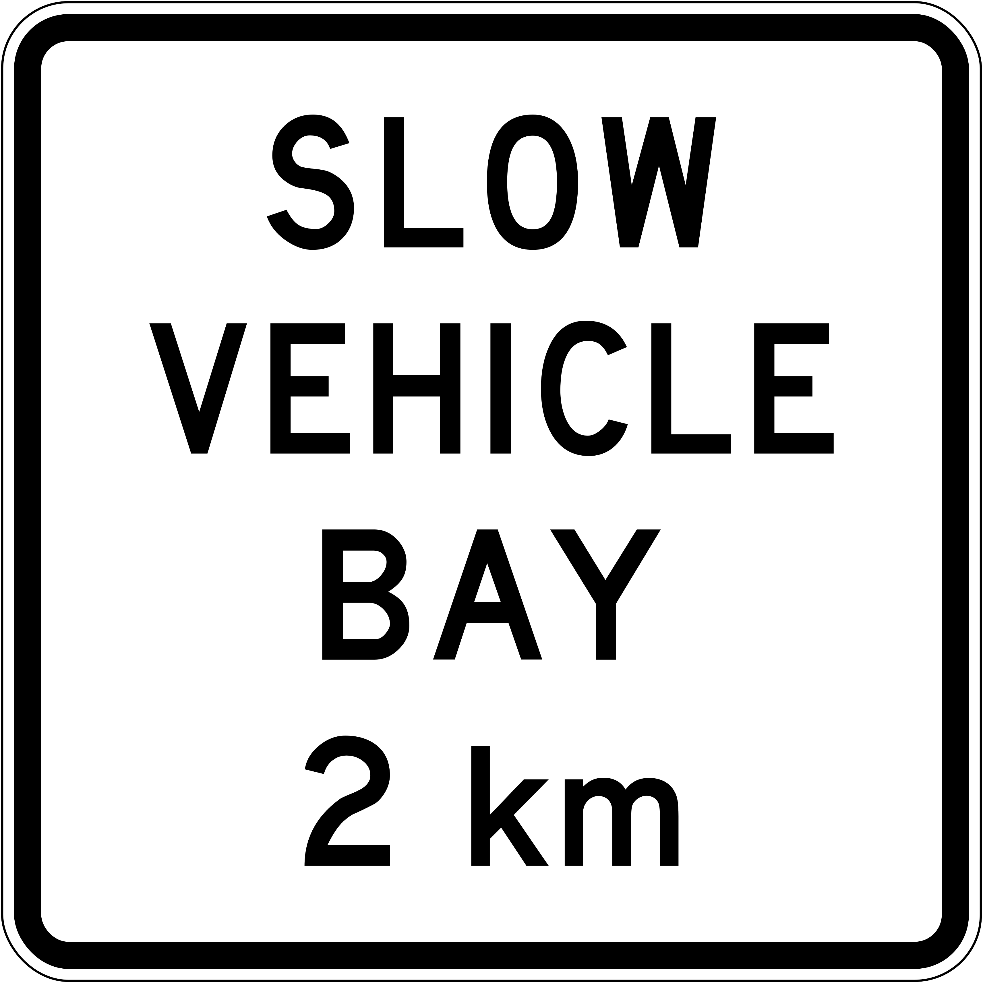 Slow vehicle bay 2kmCode A42-4A slow vehicle bay is located 2 km ahead.
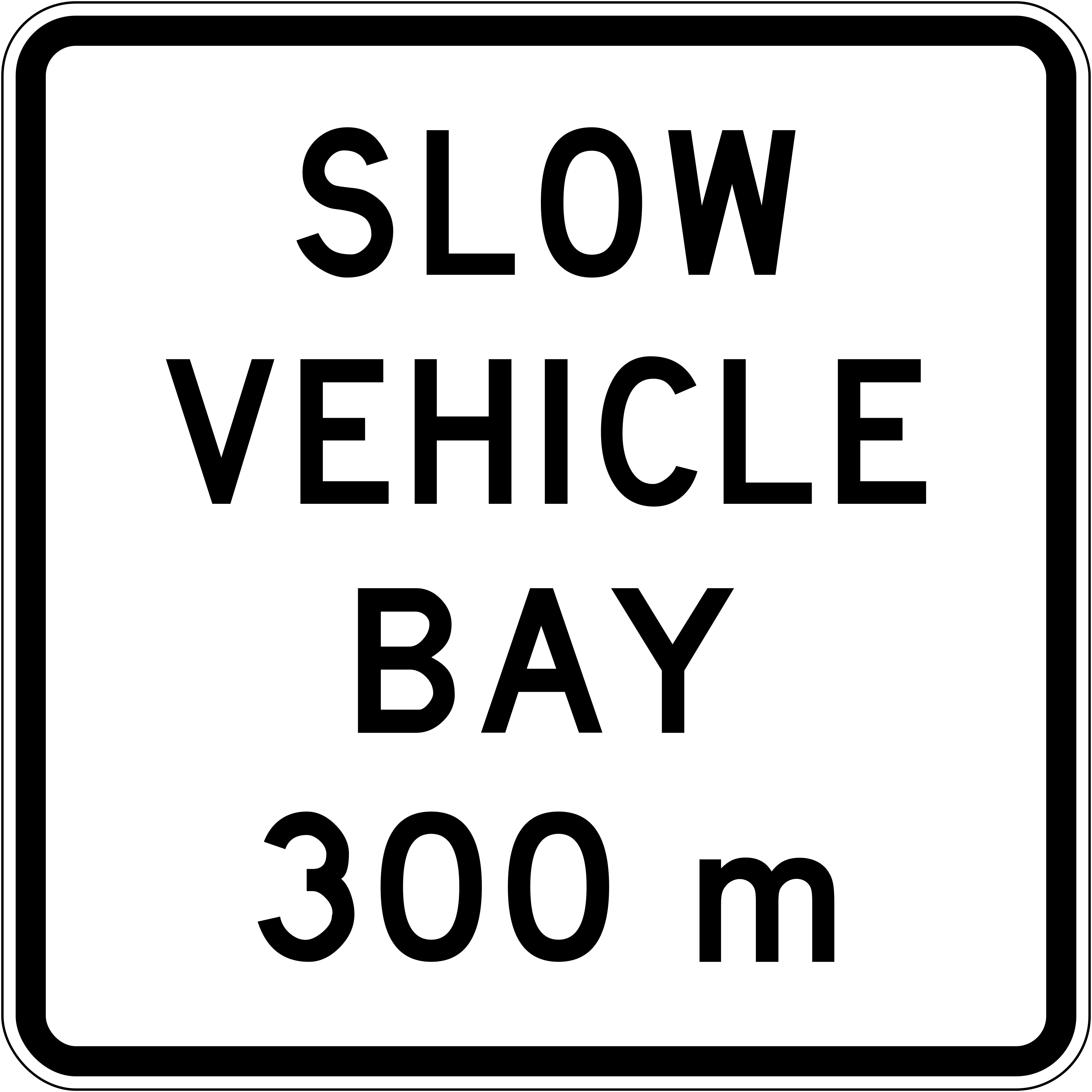 Slow vehicle bay 300mCode A42-4A slow vehicle bay is located 300 m ahead.
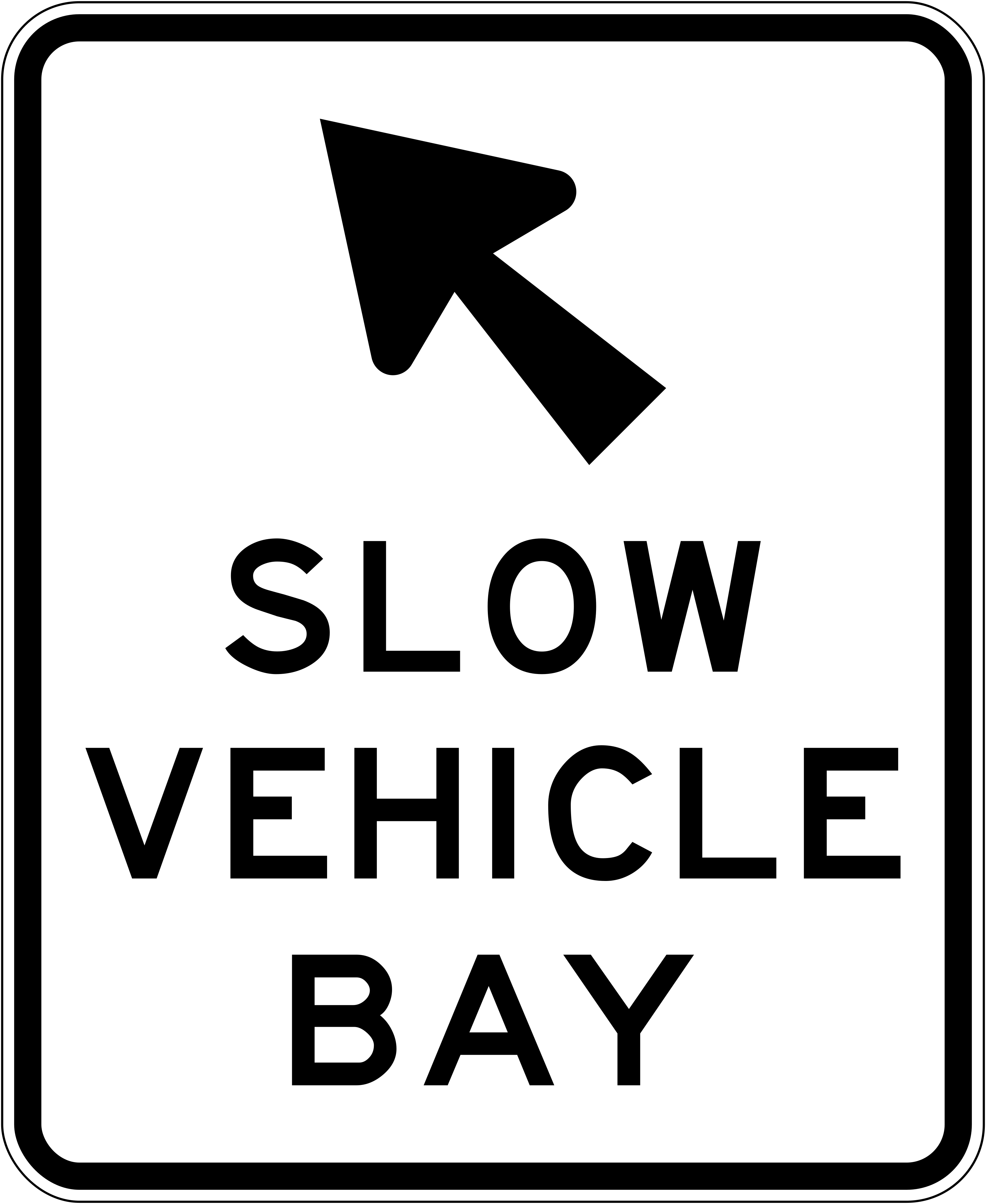 Slow vehicle bay arrowCode A42-5Turn-off arrow indicating the slow vehicle bay exit direction.
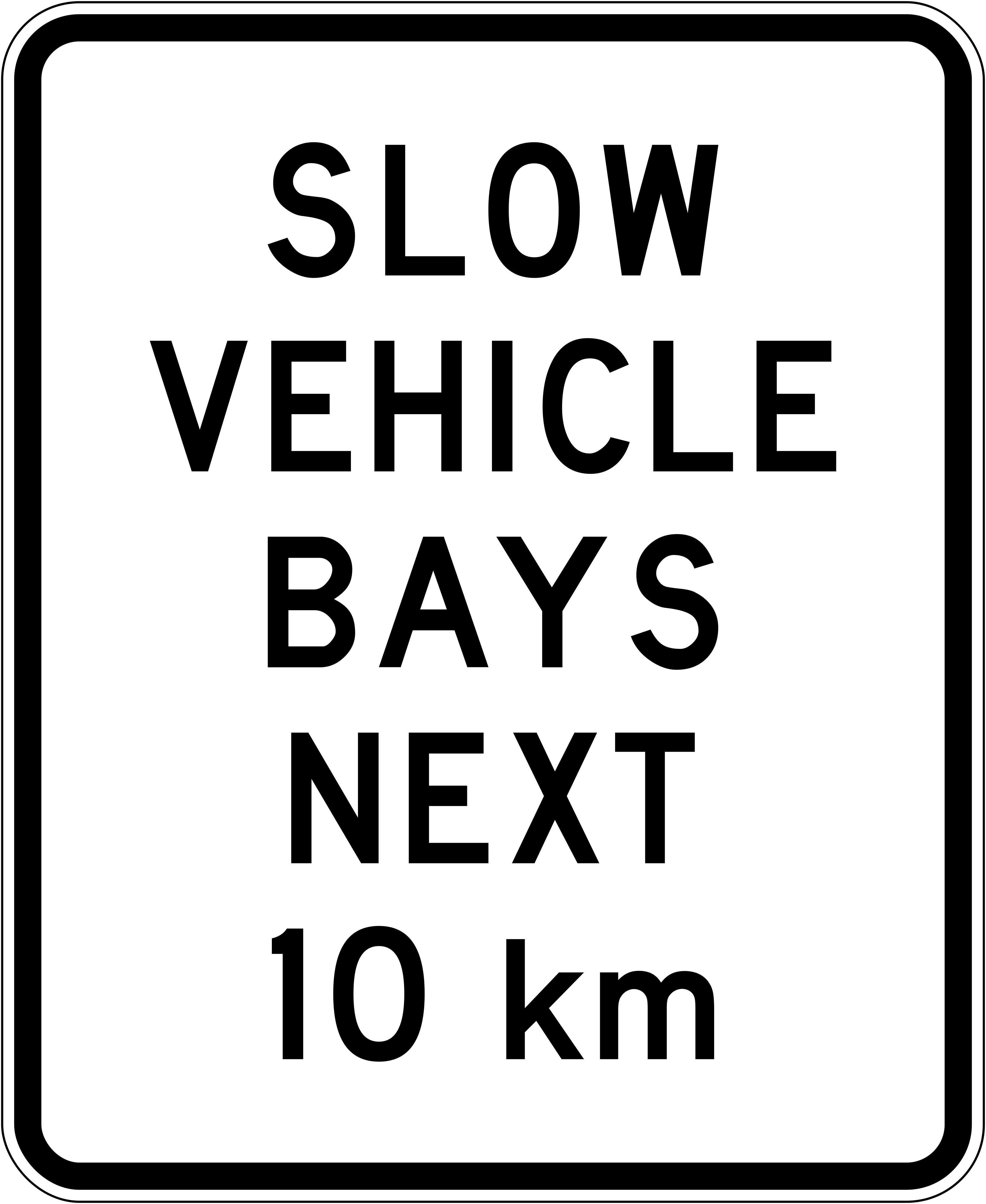 Slow vehicle bays next 10kmCode A42-3Slow vehicle bays are present over the next 10 km.
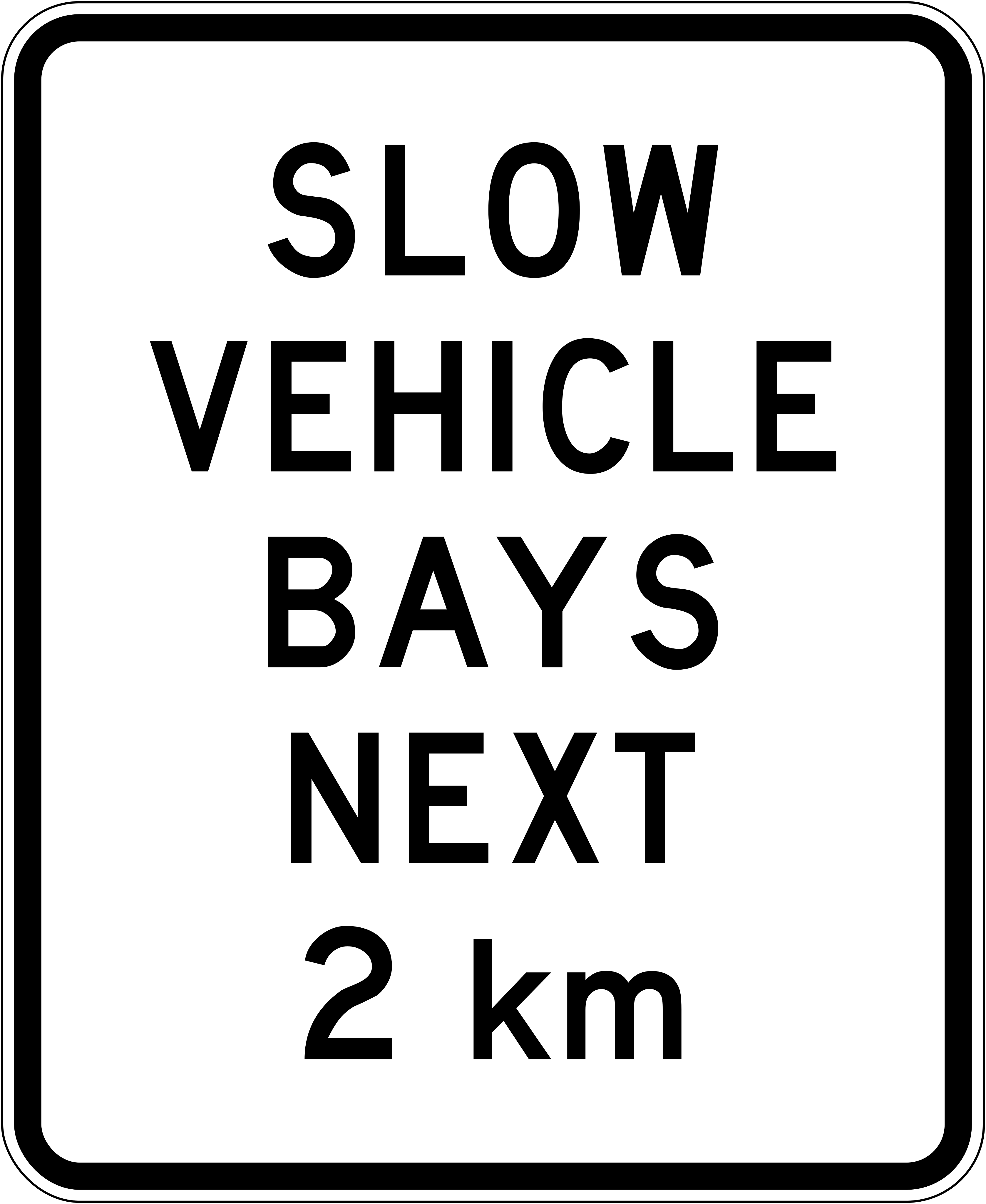 Slow vehicle bays next 2kmCode A42-3Slow vehicle bays are present over the next 2 km.
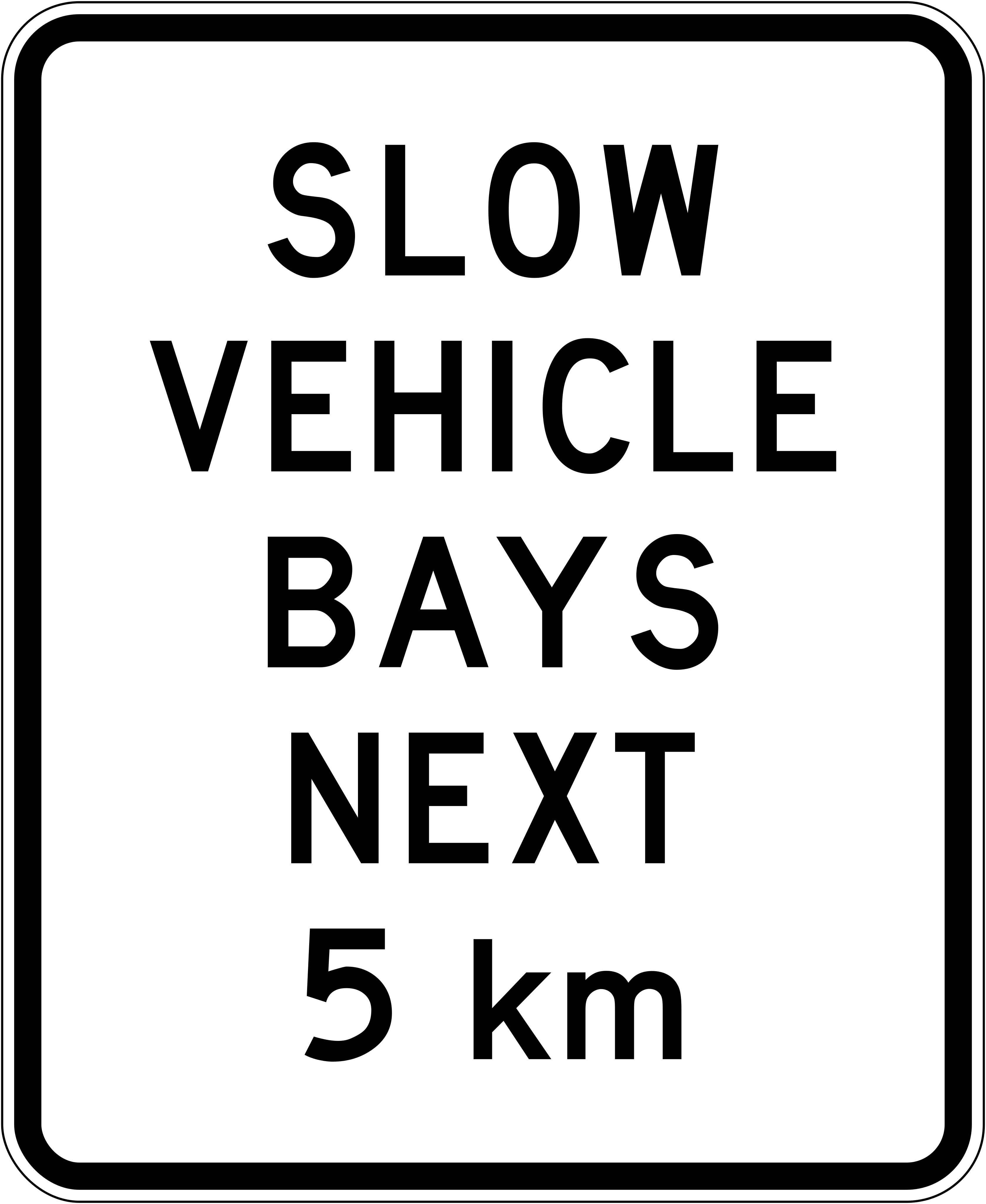 Slow vehicle bays next 5kmCode A42-3Slow vehicle bays are present over the next 5 km.
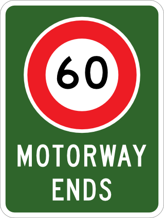 Motorway ends 60Code P10121Motorway ends sign combining a 60 km/h speed limit reminder with the text 'Motorway Ends' on a green background.
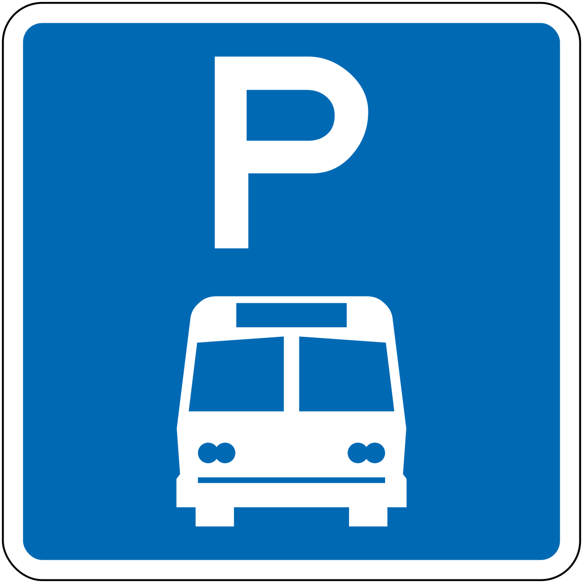 Parking bus onlyCode R6-53Parking reserved for buses only.
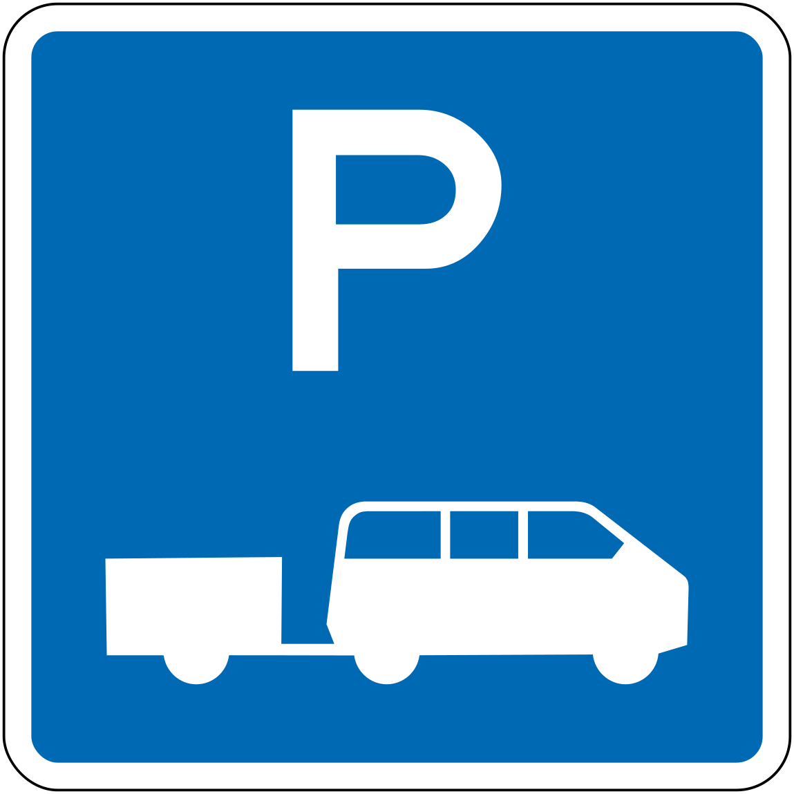 Parking campervan trailerCode R6-54Parking area designated for campervans or vehicles towing trailers.
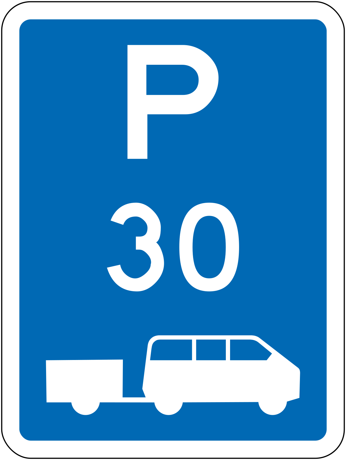 Parking campervan trailer 30minCode R6-54.2-30Parking limited to 30 minutes for campervans or vehicles with trailers.
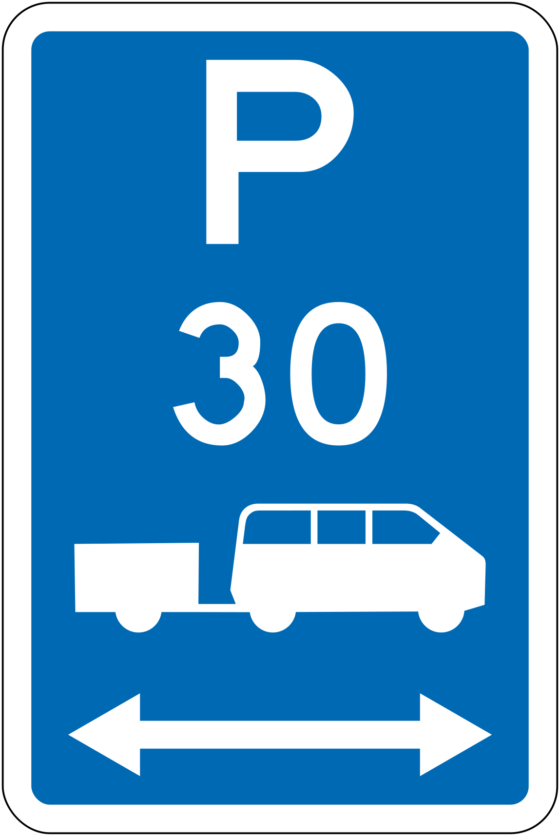 Parking campervan trailer 30min bothCode R6-54.2LR-3030-minute parking for campervans or vehicles with trailers, zone extends in both directions.
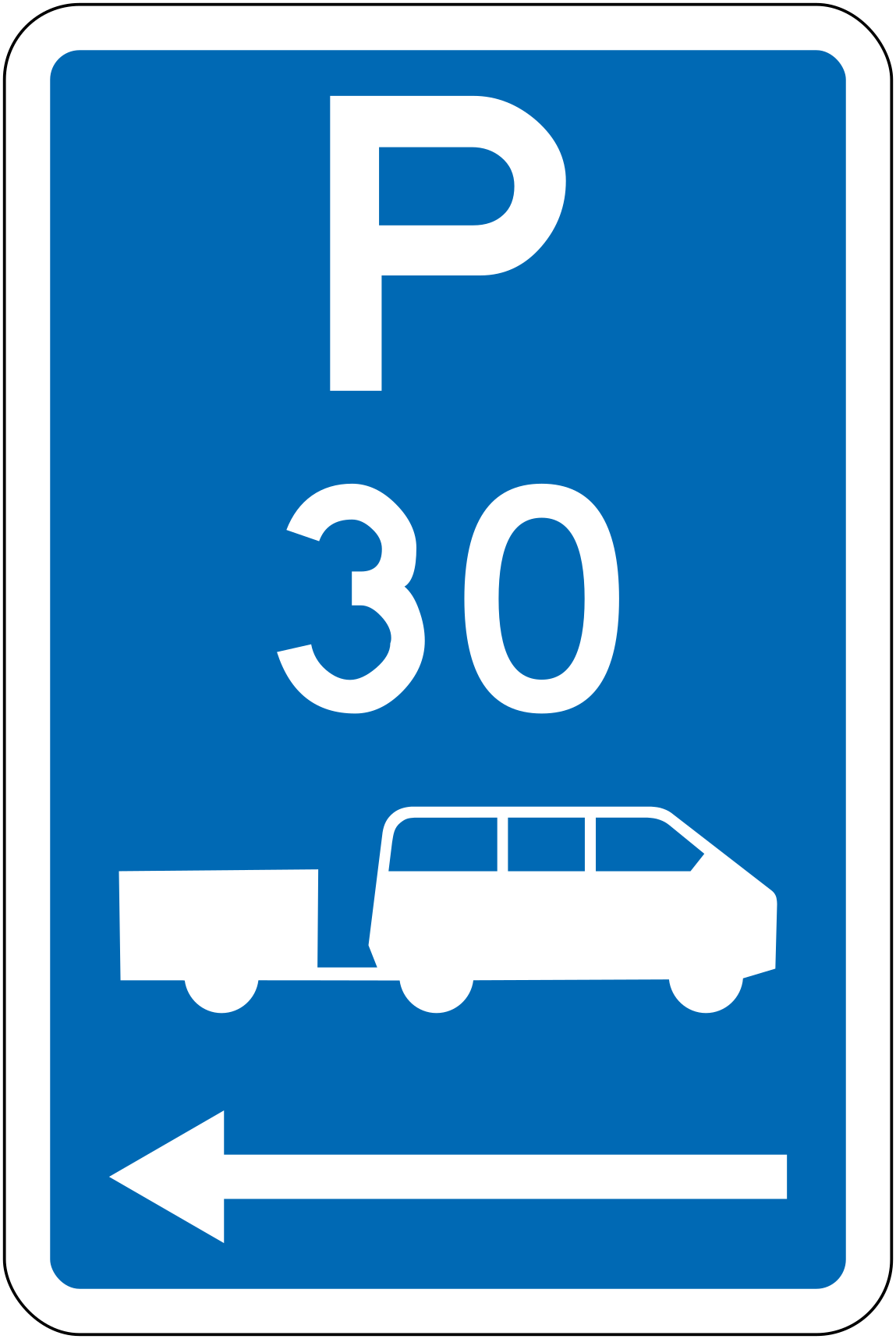 Parking campervan trailer 30min leftCode R6-54.2L-3030-minute parking for campervans or vehicles with trailers, zone extends to the left.
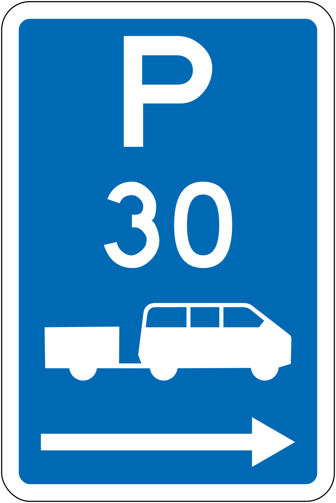 Parking campervan trailer 30min rightCode R6-54.2R-3030-minute parking for campervans or vehicles with trailers, zone extends to the right.
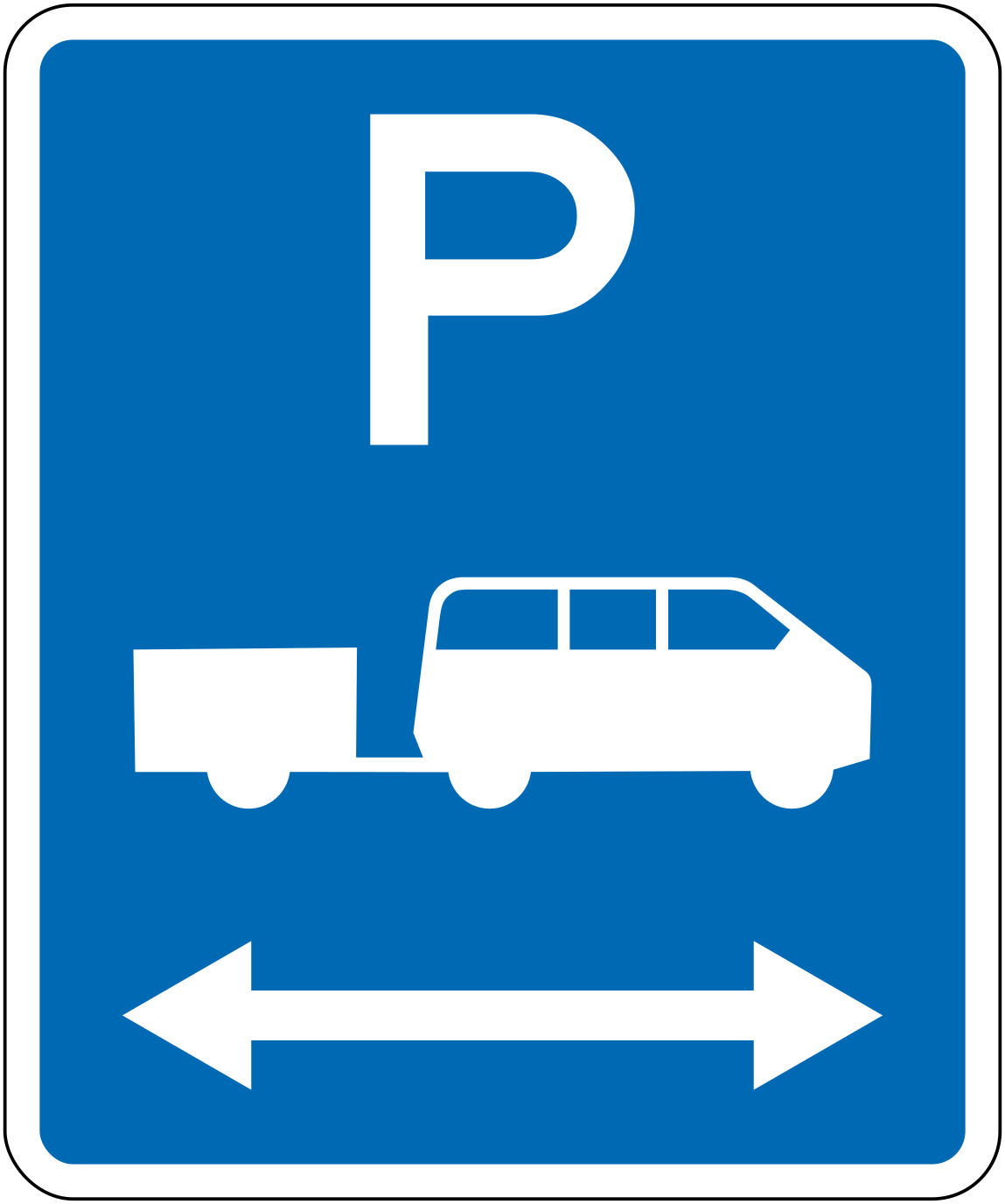 Parking campervan trailer bothCode R6-54.1LRParking for campervans or vehicles with trailers, zone extends in both directions.
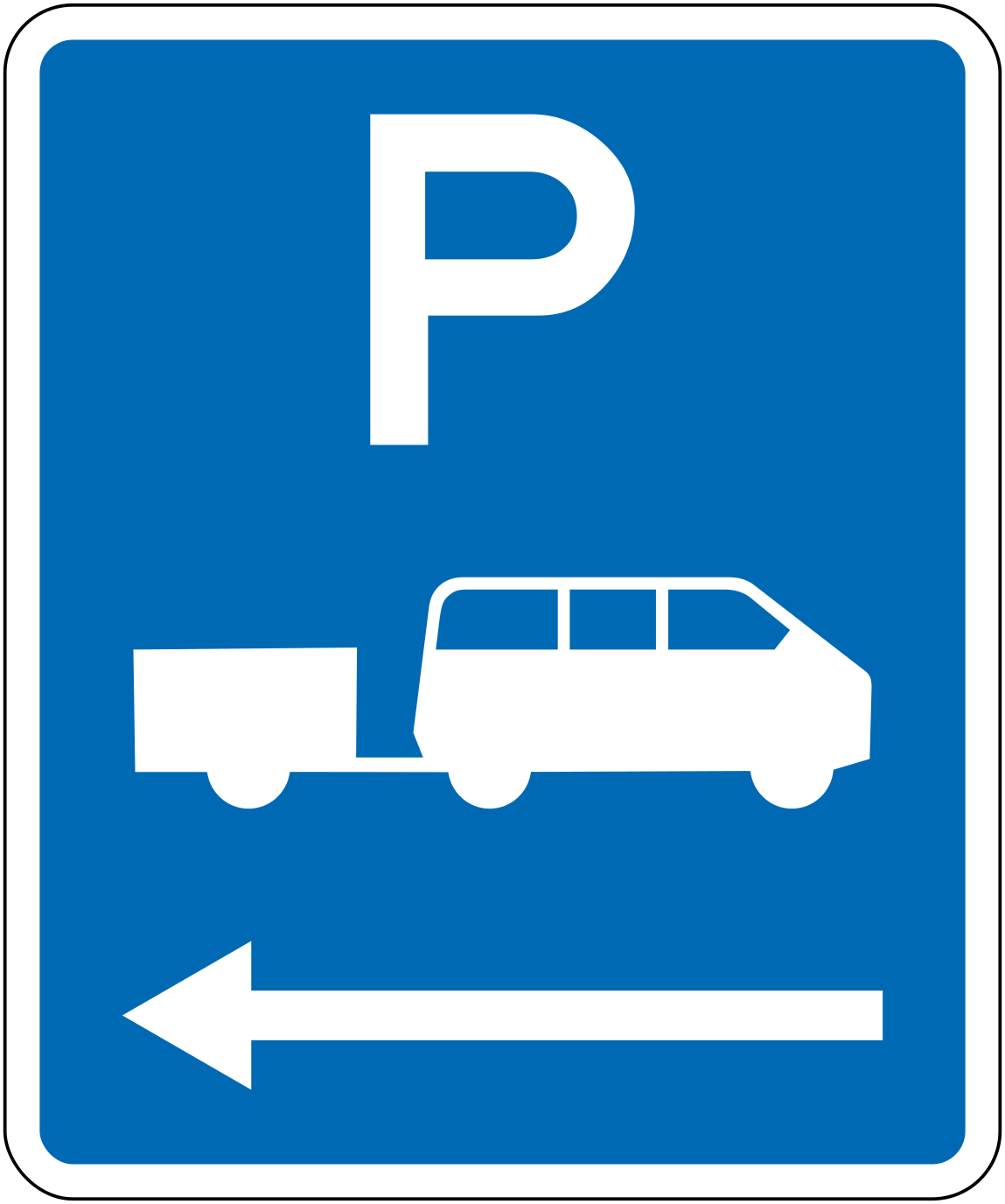 Parking campervan trailer leftCode R6-54.1LParking for campervans or vehicles with trailers, zone extends to the left.
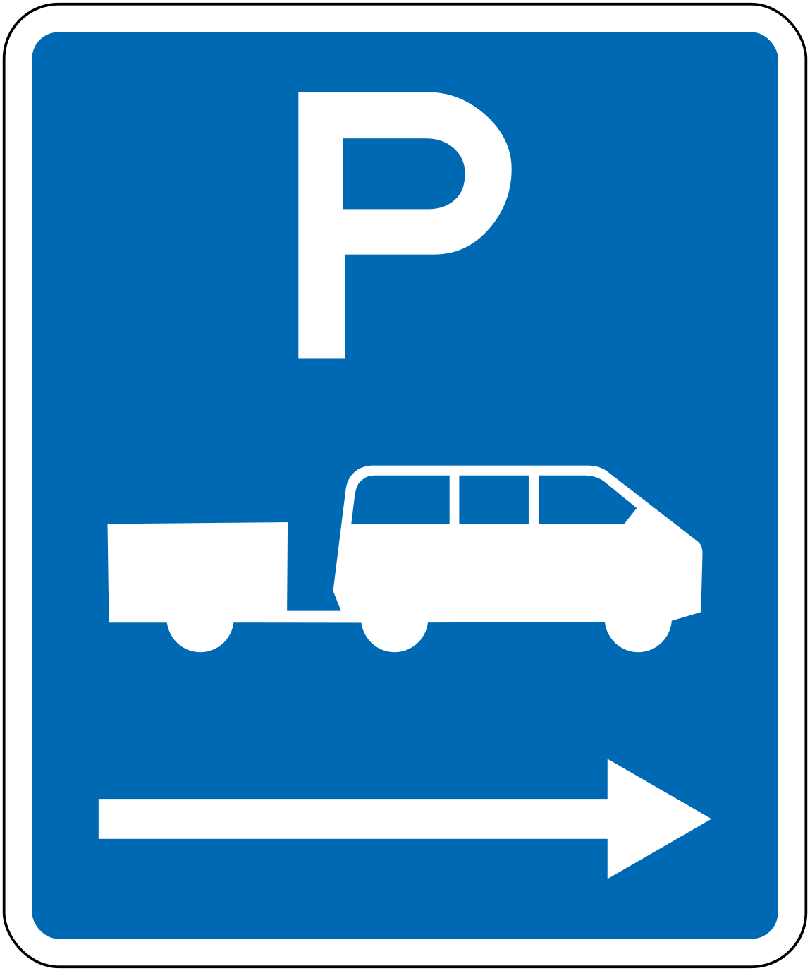 Parking campervan trailer rightCode R6-54.1RParking for campervans or vehicles with trailers, zone extends to the right.
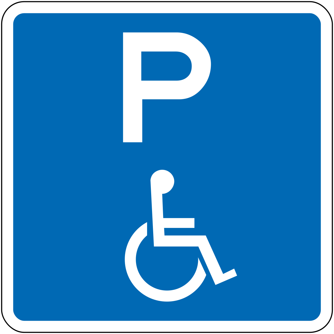 Parking disabledCode R6-55Parking area designated for people with disabilities.
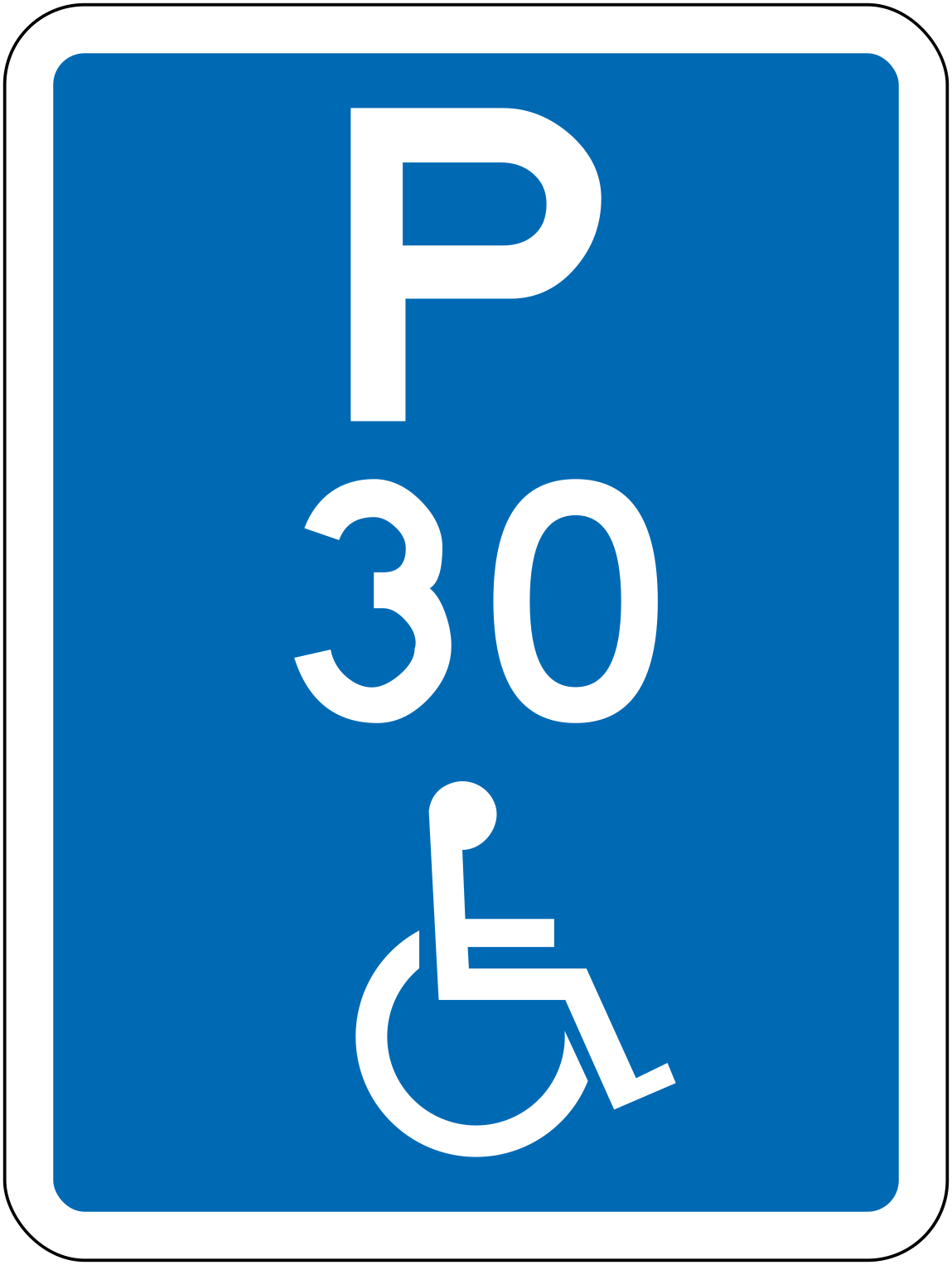 Parking disabled 30minCode R6-55.2-30Parking limited to 30 minutes for people with disabilities.
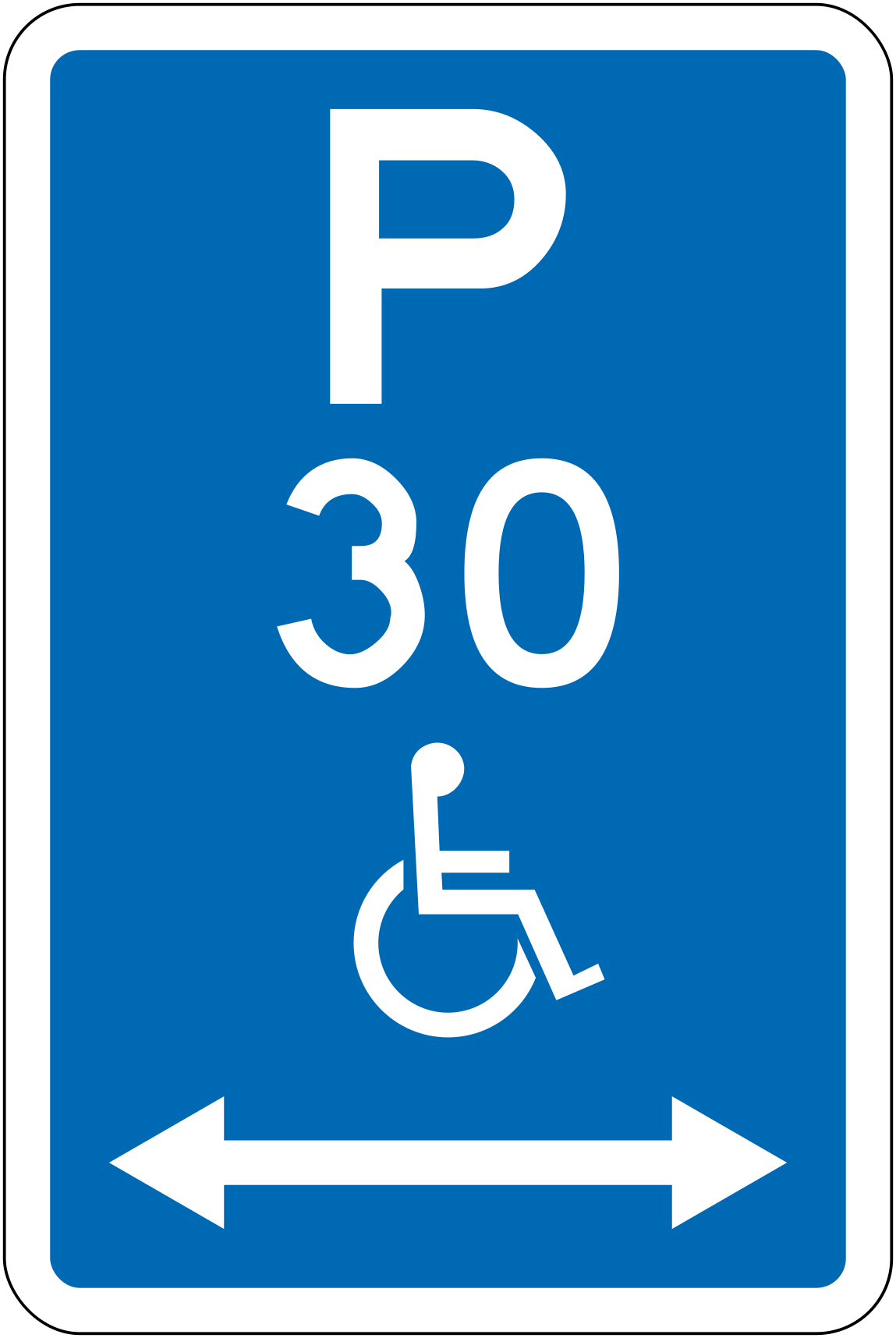 Parking disabled 30min bothCode R6-55.2LR-3030-minute parking for people with disabilities, zone extends in both directions.
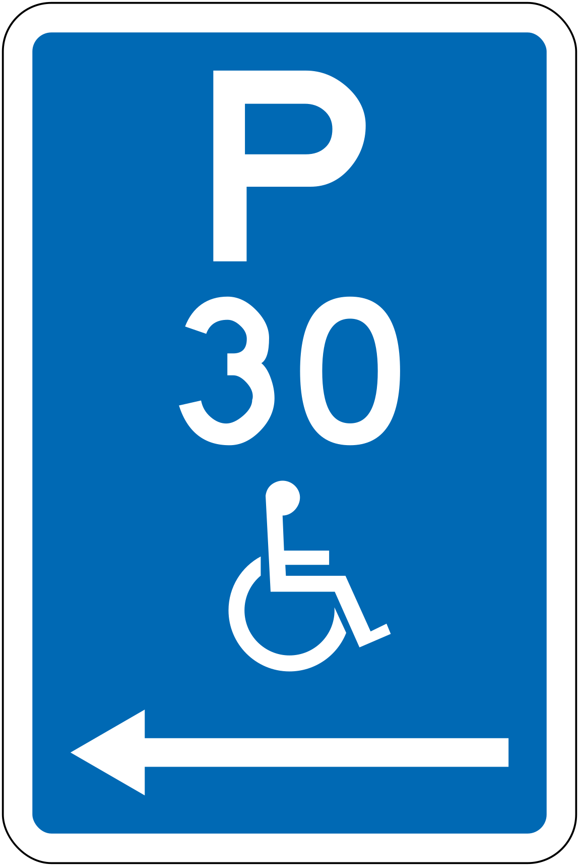 Parking disabled 30min leftCode R6-55.2L-3030-minute parking for people with disabilities, zone extends to the left.
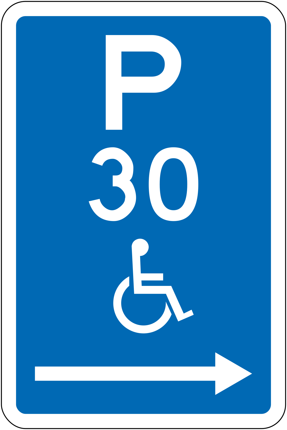 Parking disabled 30min rightCode R6-55.2R-3030-minute parking for people with disabilities, zone extends to the right.
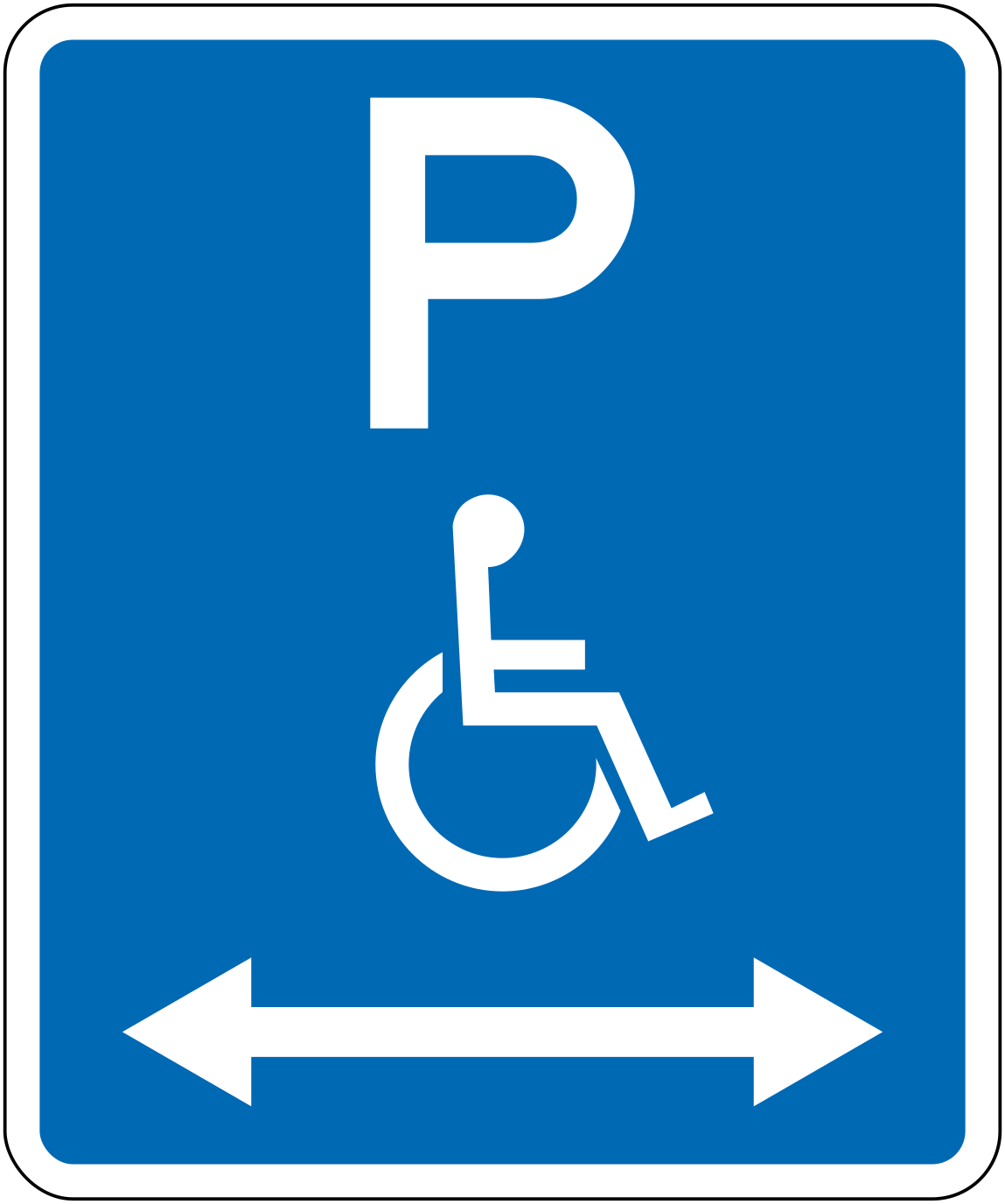 Parking disabled bothCode R6-55.1LRParking for people with disabilities, zone extends in both directions.
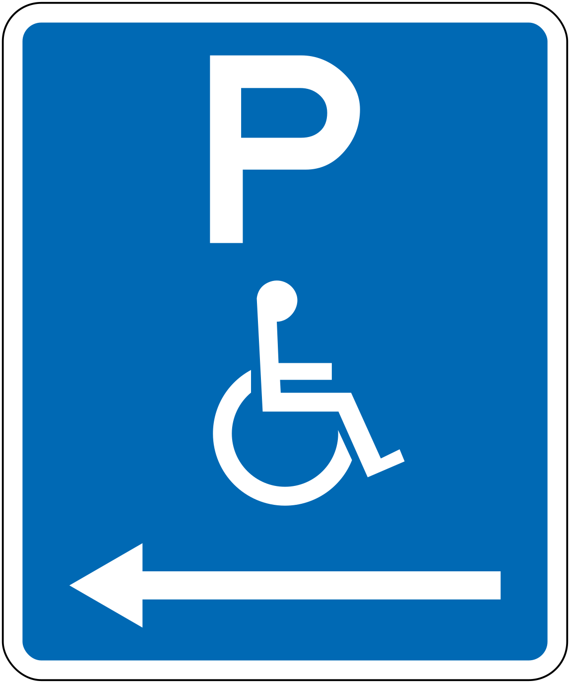 Parking disabled leftCode R6-55.1LParking for people with disabilities, zone extends to the left.
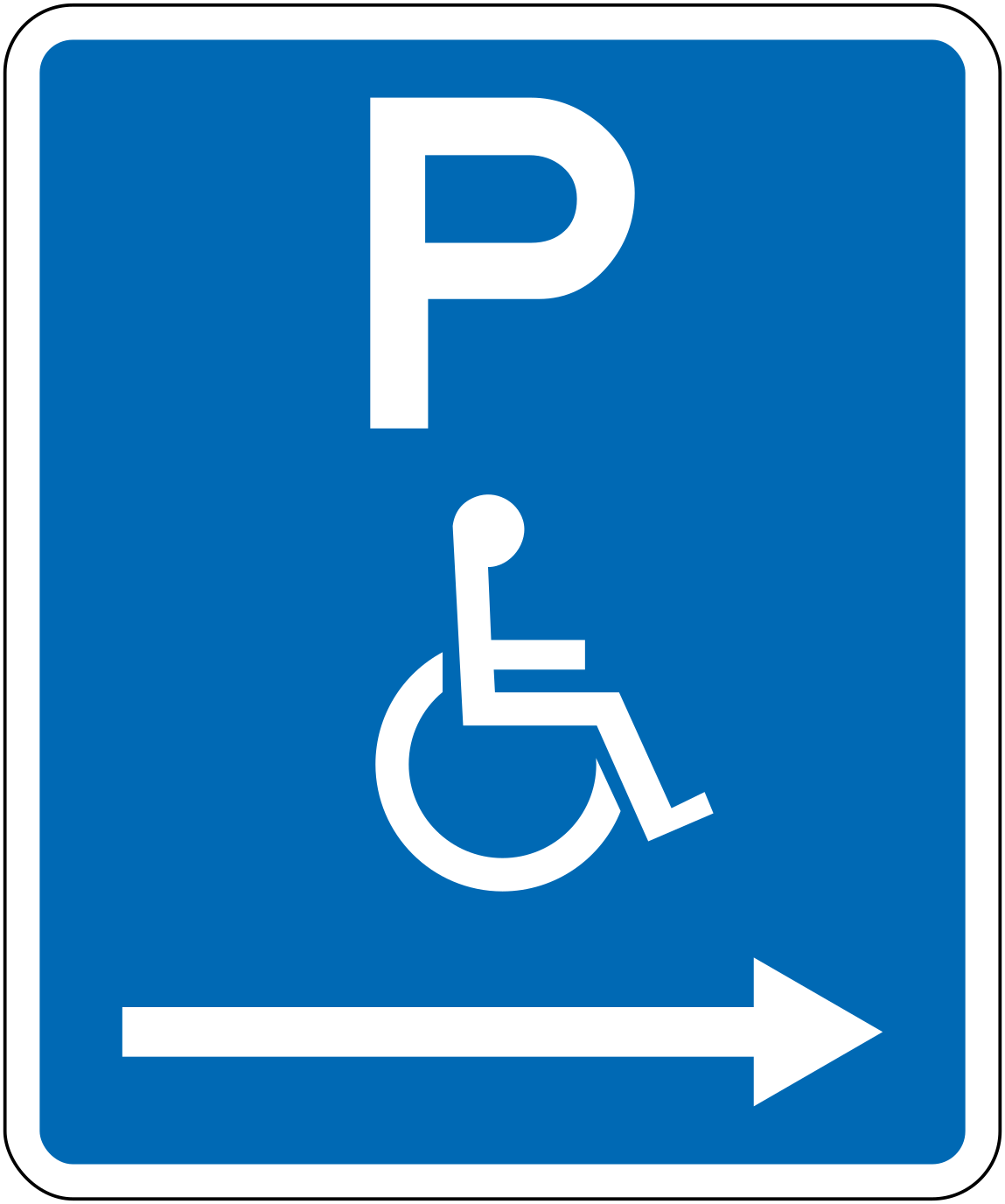 Parking disabled rightCode R6-55.1RParking for people with disabilities, zone extends to the right.
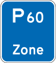 ZoneCode PZ21Signs the entry to a parking zone where the maximum parking time is 60 minutes.
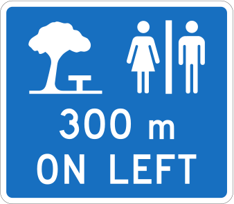
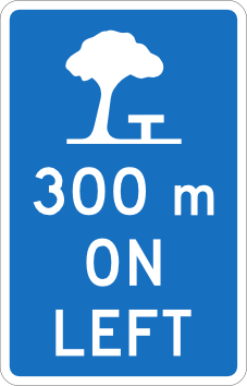 Rest area 300m left blueRest area is located 300 metres ahead on the left side of the road.
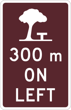 Rest area 300m left brownRest area (brown tourism variant) is located 300 metres ahead on the left side of the road.
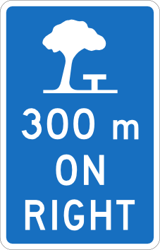 Rest area 300m right blueRest area is located 300 metres ahead on the right side of the road.
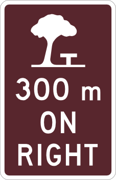 Rest area 300m right brownRest area (brown tourism variant) is located 300 metres ahead on the right side of the road.
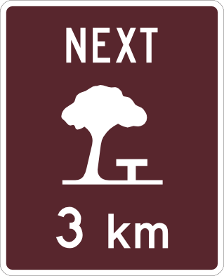 Rest area next 3km brownRest area (brown tourism variant) is available within the next 3 kilometres.
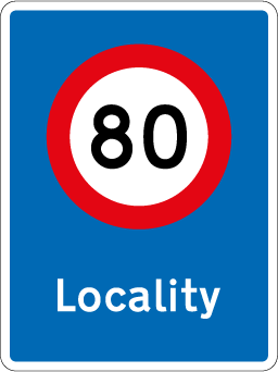 Locality threshold 80Code RS51Urban locality threshold sign indicating entry into a built-up area with an 80 km/h speed limit.
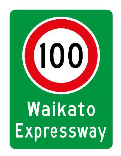 Expressway threshold 100Code RS56Expressway threshold sign indicating entry to the Waikato Expressway with a 100 km/h speed limit.
Direction signs
29 signs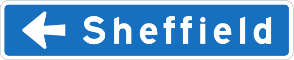 Destination left arrow blueMotorway or expressway directional sign indicating the destination (Sheffield) is reached by turning left.
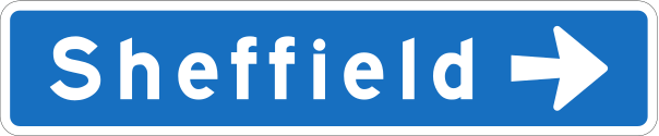 Destination right arrow blueMotorway or expressway directional sign indicating the destination (Sheffield) is reached by turning right.
 Destination veer right arrow blueMotorway or expressway directional sign indicating the destination (Sheffield) is reached by veering right.
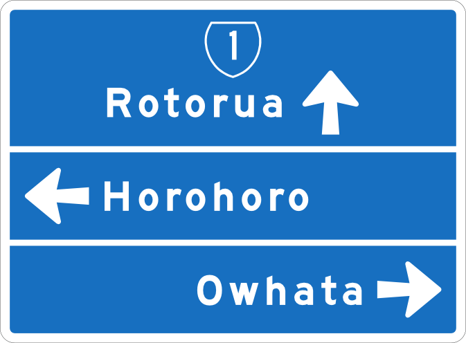 Ads blue highway shieldAdvance directional sign on a state highway showing destinations (Rotorua straight, Horohoro left, Owhata right) with a blue State Highway 1 shield.
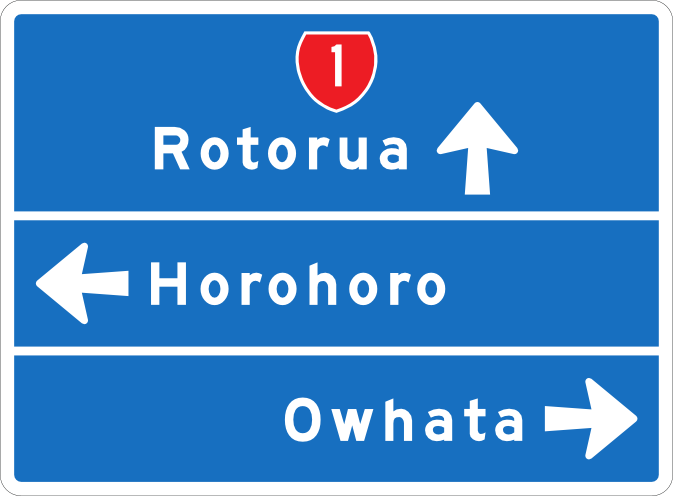 Ads blue red shieldAdvance directional sign on a state highway showing destinations (Rotorua straight, Horohoro left, Owhata right) with a red State Highway 1 shield.
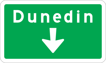 Bgs green destinationGreen background guide sign showing destination Dunedin with a downward arrow indicating the current road leads there.
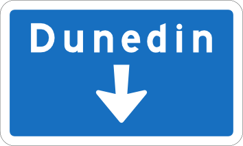 Bgs overhead blueBlue overhead background guide sign showing destination Dunedin with a downward arrow indicating the current road leads there.
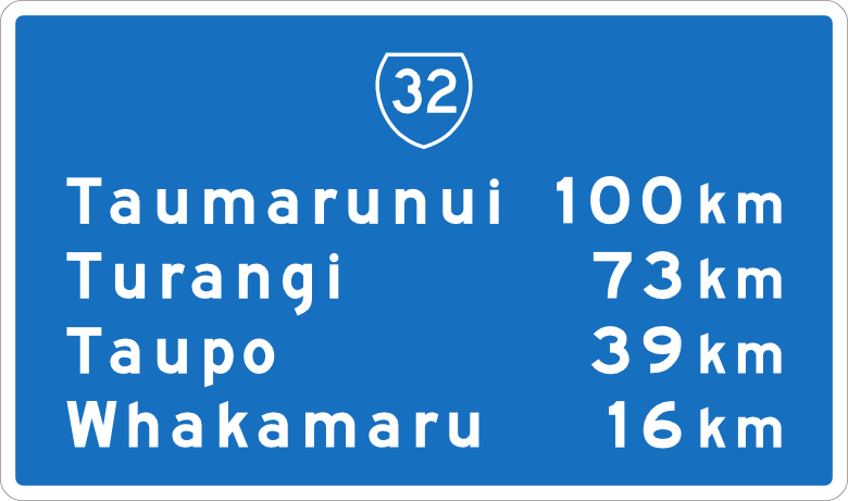 Cds blue shield distancesComprehensive distance sign on State Highway 32 listing distances to Taumarunui (100 km), Turangi (73 km), Taupo (39 km), and Whakamaru (16 km).
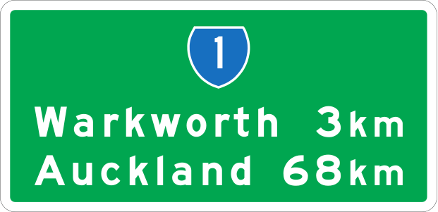 Cds green sh 2linesComprehensive distance sign on State Highway 1 listing distances to Warkworth (3 km) and Auckland (68 km) on two lines.
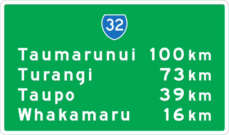 Cds green sh 4linesComprehensive distance sign on State Highway 32 listing distances to four destinations on four lines.
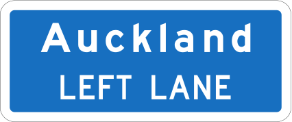 Destination lane blueCode AD-12LAdvance direction sign showing a destination with lane assignment on a blue motorway background.
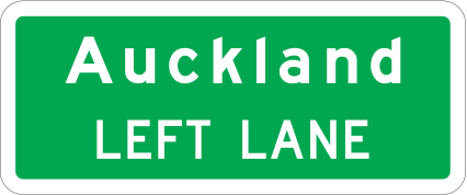 Destination lane greenCode AD-12LAdvance direction sign showing a destination with lane assignment on a green arterial road background.
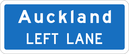 Destination turning lane blueDestination turning lane sign on blue background indicating that the left lane leads to Auckland.
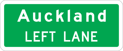 Destination turning lane greenDestination turning lane sign on green background indicating that the left lane leads to Auckland.
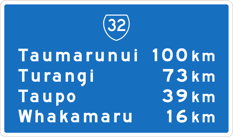 Distance sign blue 2destCode CD-1Confirming distance sign showing distances to two destinations on a blue motorway background.
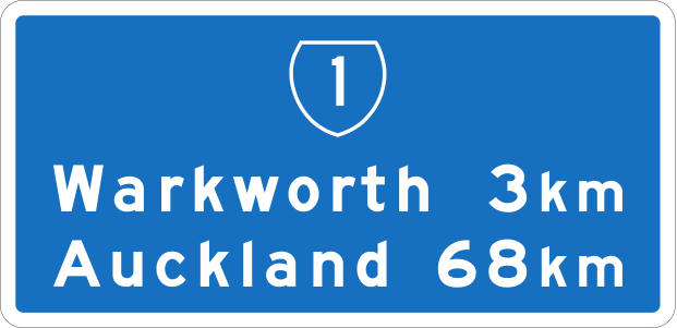 Distance sign blue 4destCode CD-2Confirming distance sign showing distances to four destinations on a blue motorway background.
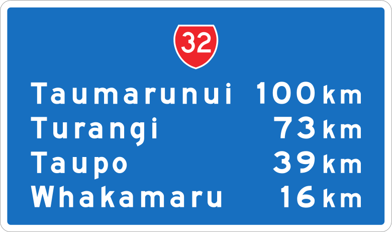 Distance sign blue 4destCode CD-3Confirming distance sign (alternate layout) showing distances to four destinations on a blue motorway background.
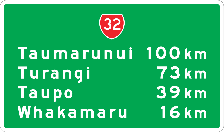 Distance sign green 4destCode CD-3Confirming distance sign showing distances to four destinations on a green arterial road background.
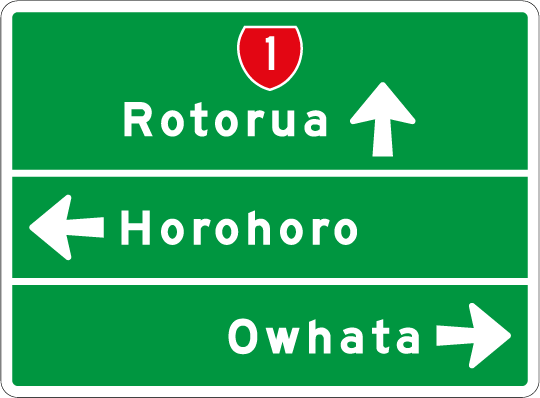 Intersection guideCode GA34Intersection guide sign showing three destinations in different directions including State Highway 1.
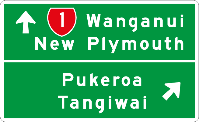 Intersection guideCode GA34-4Intersection guide sign showing two destinations — one straight ahead on State Highway 1 and one diagonally ahead.
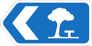 Motorway confirm sign leftCode MC1LMotorway confirming sign with destination and distance shown for a left-side exit.
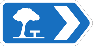 Motorway confirm sign rightCode MC1RMotorway confirming sign with destination and distance shown for a right-side exit.
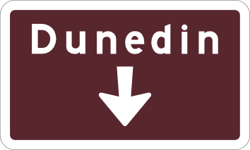 Tourist direction brownTourist destination direction sign indicating Dunedin is straight ahead (brown background indicates heritage/tourist route).
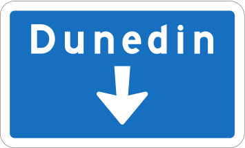 Overhead destination blueOverhead motorway destination sign (blue) indicating the destination (Dunedin) is straight ahead.
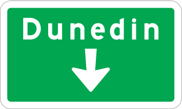 Overhead destination greenOverhead state highway destination sign (green) indicating the destination (Dunedin) is straight ahead.
 Rest area intersection left brownRest area directional blade indicating the rest area is reached by turning left at the upcoming intersection.
 Rest area intersection right brownRest area directional blade indicating the rest area is reached by turning right at the upcoming intersection.
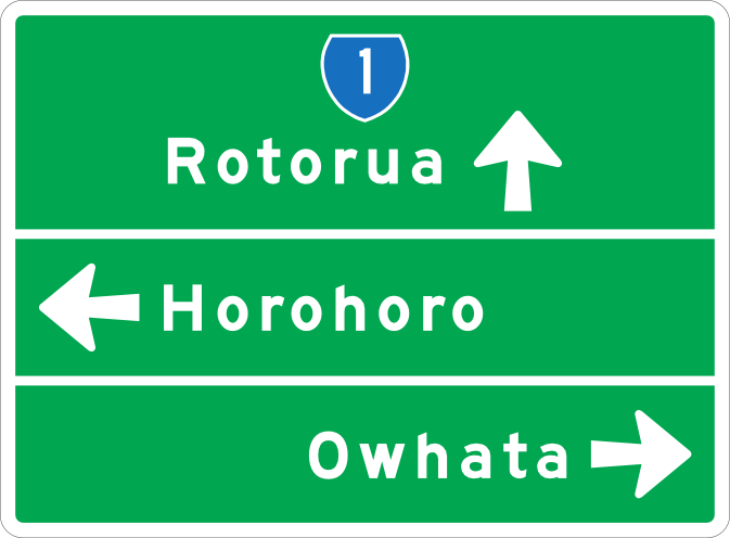 State highway ads junctionAdvance direction sign at a state highway junction showing destinations Rotorua (ahead), Horohoro (left) and Owhata (right) via State Highway 1.
 Skyline gondolaCode TR-4-1Tourist attraction directional sign pointing to Skyline Skyrides Gondola.
Additional panels
28 signs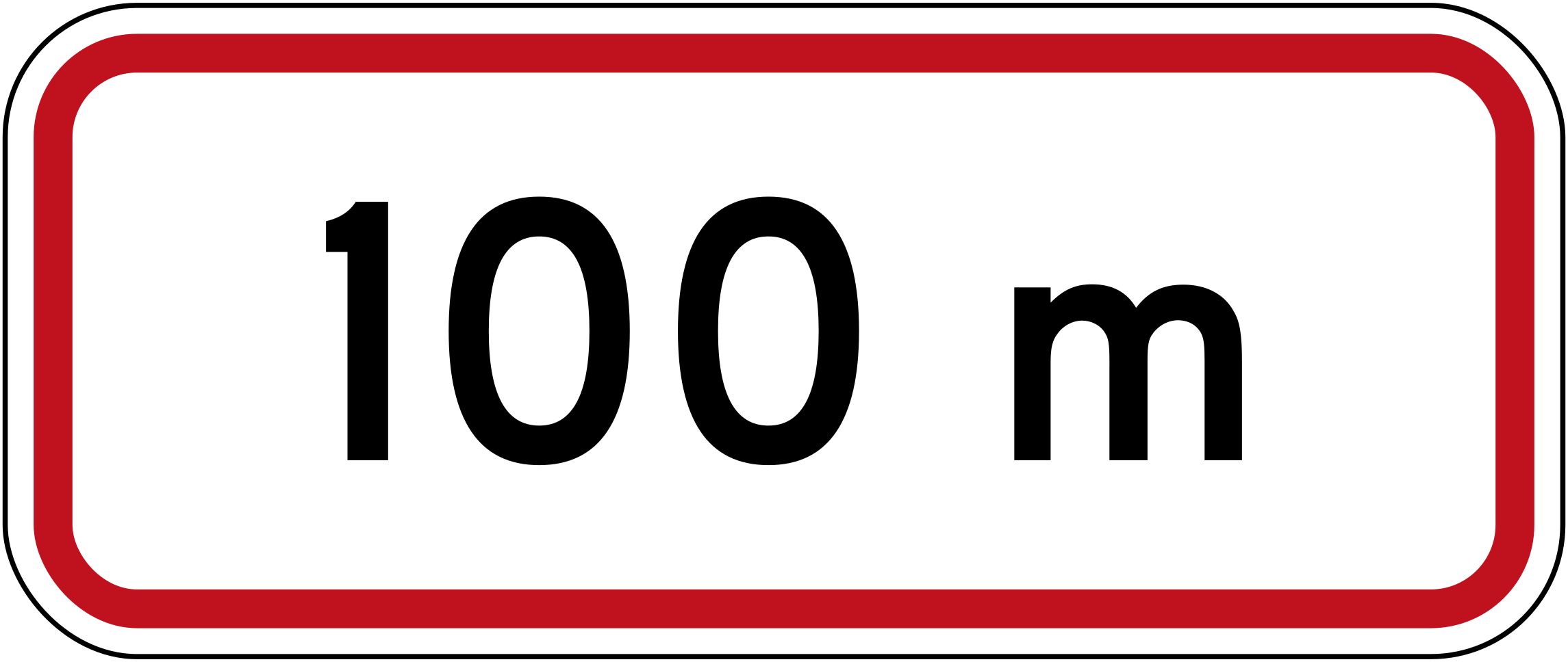 Distance 100mCode R7-2.3Supplementary panel indicating the restriction applies for 100 metres.
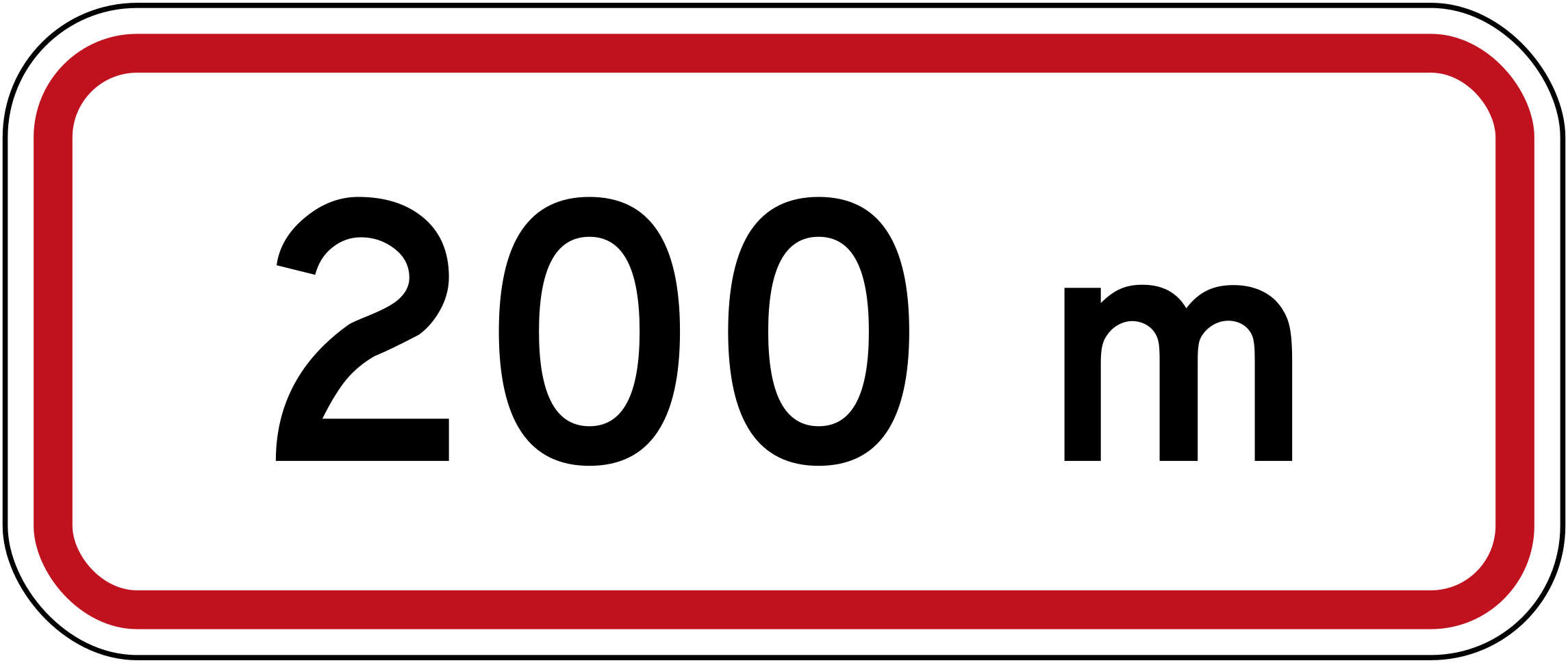 Distance 200mCode R7-2.3Supplementary panel indicating the restriction applies for 200 metres.
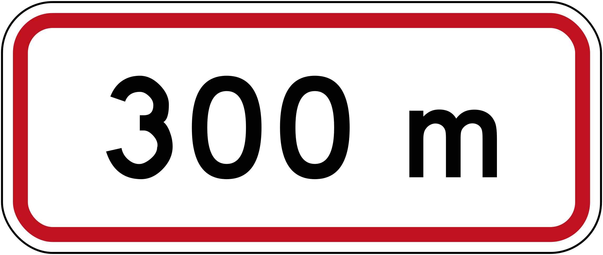 Distance 300mCode R7-2.3Supplementary panel indicating the restriction applies for 300 metres.
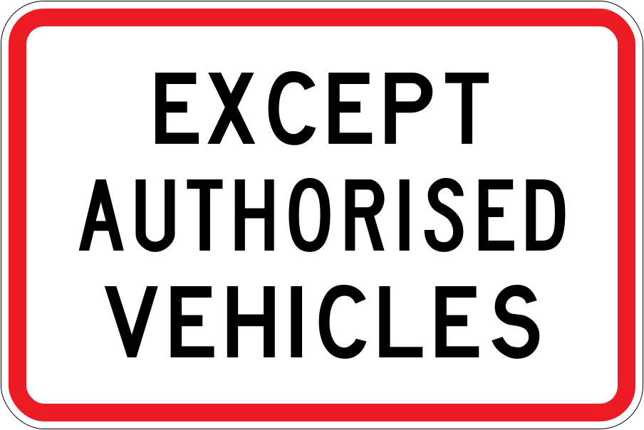 Except authorised vehiclesCode R3-5.3Supplementary panel indicating that authorised vehicles are exempt from the restriction shown on the associated sign (current version).
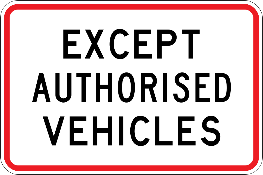 Except authorised vehicles 1989Code R3-5.3Supplementary panel indicating that authorised vehicles are exempt from the restriction shown on the associated sign (1989–2016 version).
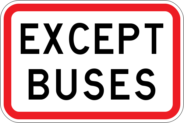 Except busesCode R3-5.1Supplementary panel indicating that buses are exempt from the restriction shown on the associated sign (current version).
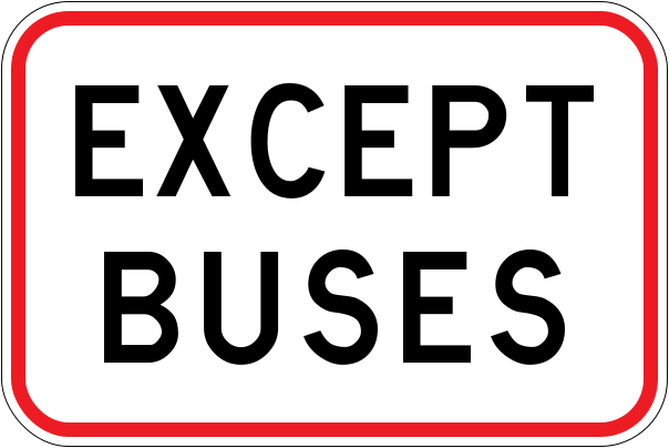 Except buses 1989Code R3-5.1Supplementary panel indicating that buses are exempt from the restriction shown on the associated sign (1989–2016 version).
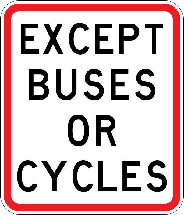 Except buses or cyclesCode R3-5.4X1Supplementary panel indicating that buses or cyclists are exempt from the restriction shown on the associated sign (current version).
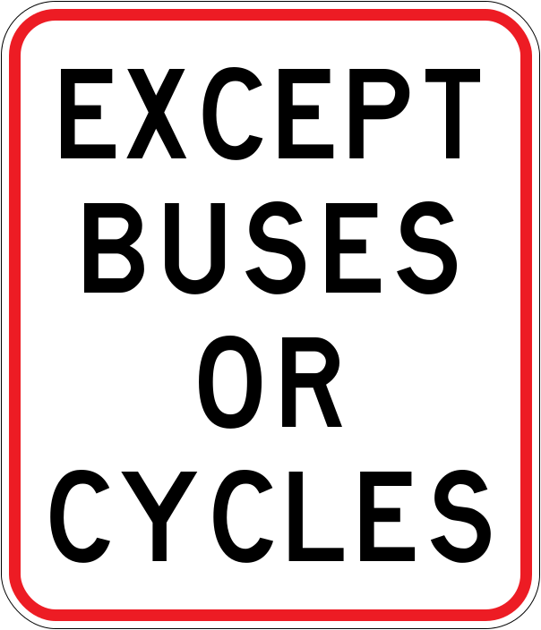 Except buses or cycles 1989Code R3-5.4X1Supplementary panel indicating that buses or cyclists are exempt from the restriction shown on the associated sign (1989–2016 version).
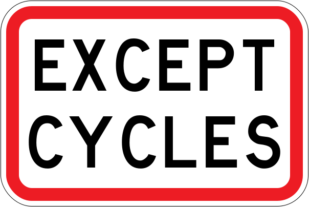 Except cyclesCode R3-5.2Supplementary panel indicating that cyclists are exempt from the restriction shown on the associated sign (current version).
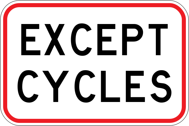 Except cycles 1989Code R3-5.2Supplementary panel indicating that cyclists are exempt from the restriction shown on the associated sign (1989–2016 version).
 ExemptCode W15-10Supplementary panel indicating certain vehicles are exempt from the associated warning or restriction (current version).
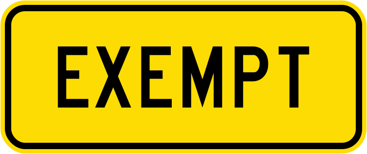 Exempt 2002Code W15-10Supplementary panel indicating certain vehicles are exempt from the associated warning or restriction (2002–2016 version).
 Kmp d markerCode KMP-DKilometre post with direction marker on State Highway 2 showing location reference 962.16D for asset management purposes.
 Kmp markerCode KMPKilometre post on State Highway 1 showing location reference 656.5 for asset management purposes.
 Kura school fyg 2016Code W16-5.1Fluorescent yellow-green KURA SCHOOL supplementary panel used near Māori-medium schools (2016–2022 version).
 Kura school yellow 2016Code W16-5.1Yellow KURA SCHOOL supplementary panel used near Māori-medium schools (2016–2022 version).
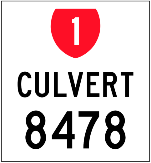 Lrms culvertLinear referencing marker sign for State Highway 1 identifying asset Culvert 8478 for infrastructure management.
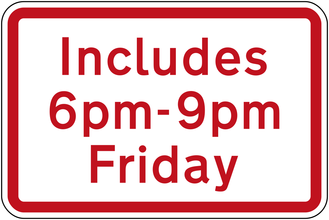 Includes 6pm 9pm fridayCode R6-11.1Supplementary panel (red on white) indicating a restriction also includes Friday 6pm–9pm.
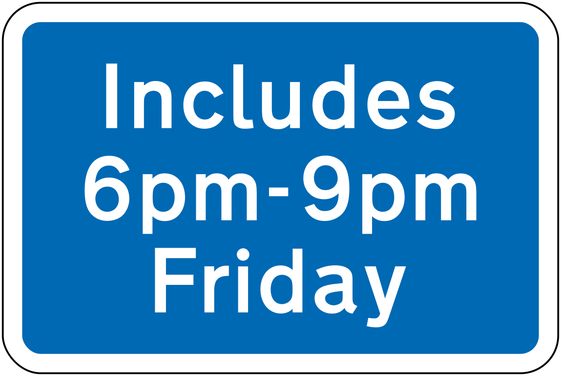
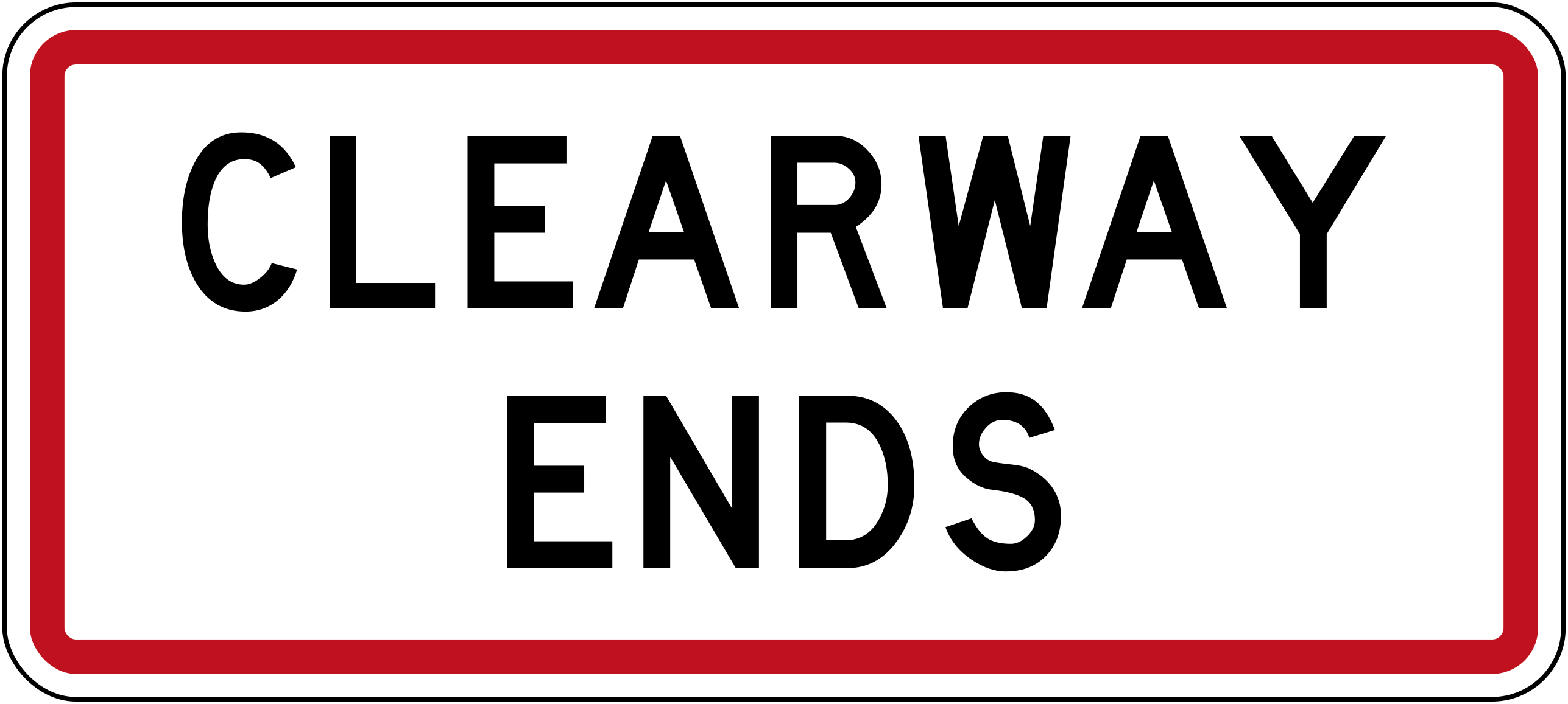 Includes 6pm 9pm friday blueCode R6-12.5Supplementary panel (white on blue) indicating a parking restriction also includes Friday 6pm–9pm.
 School zone fygCode W16-5.1Fluorescent yellow-green SCHOOL supplementary panel used with school-zone warning signs, indicating a school area ahead (current version with FYG background).
 School zone fyg 2001Code W16-5.1Fluorescent yellow-green SCHOOL supplementary panel used with school-zone warning signs (2001–2016 version).
 School zone yellowCode W16-5.1Yellow SCHOOL supplementary panel used with school-zone warning signs (current yellow version).
 School zone yellow 1987Code W16-5.1Yellow SCHOOL supplementary panel used with school-zone warning signs (1987–2016 version).
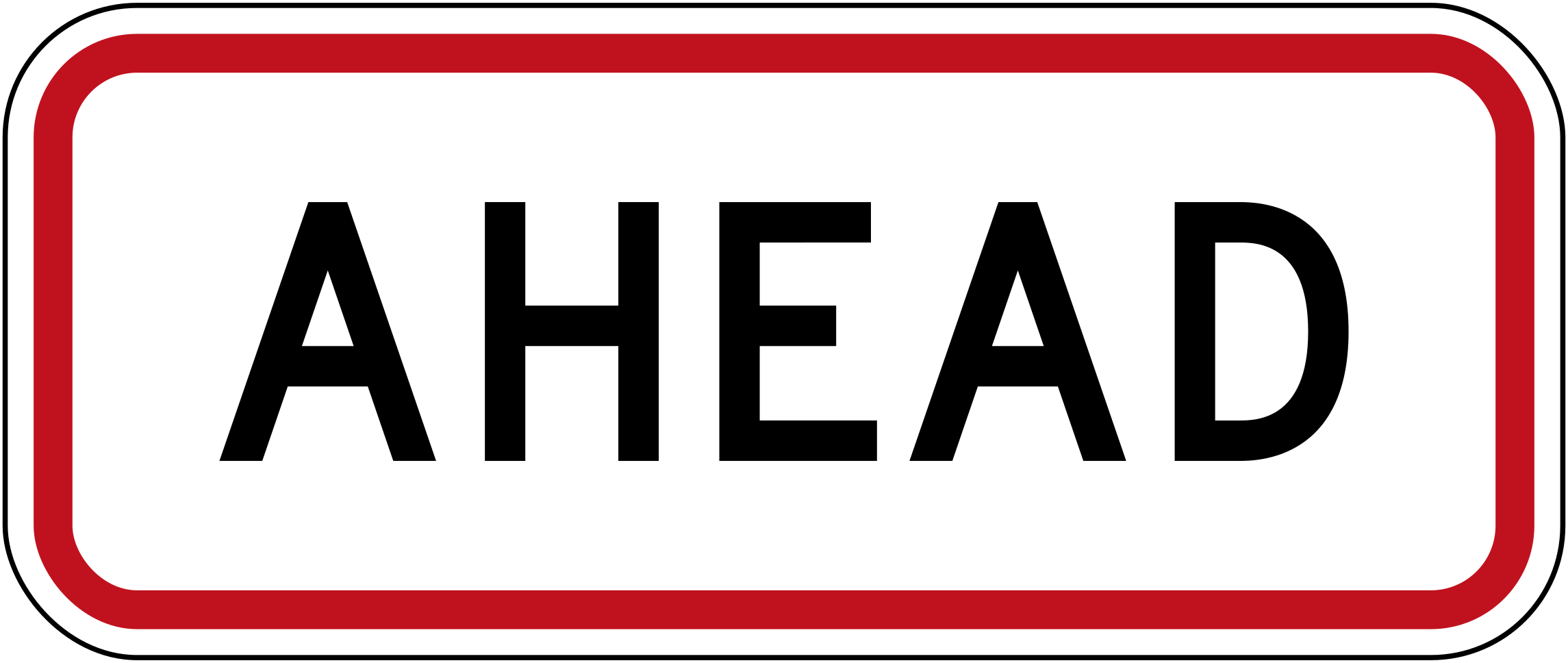 Restriction aheadCode R7-2Supplementary panel indicating the restriction or zone is ahead.
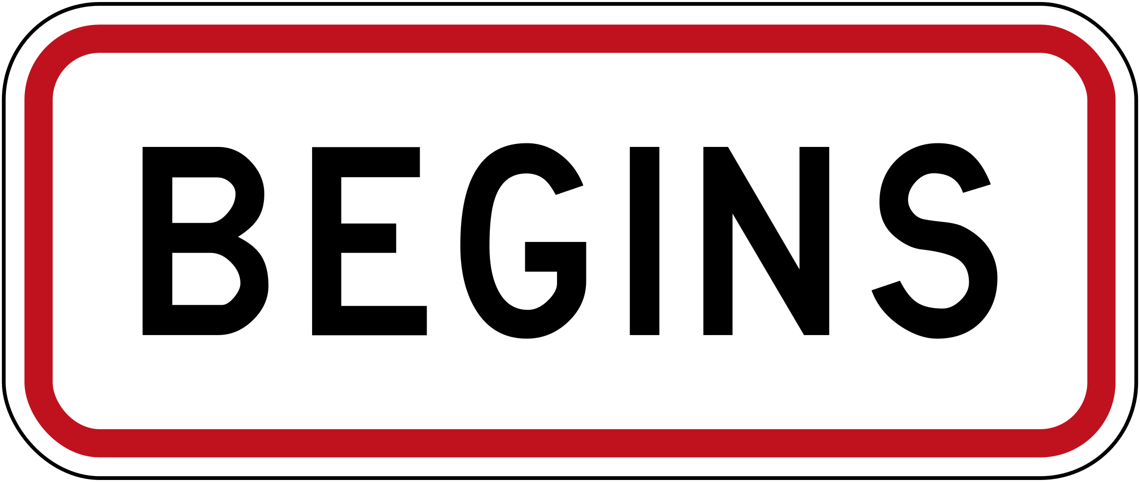 Restriction beginsCode R7-2.1Supplementary panel indicating the restriction or zone begins at this point.
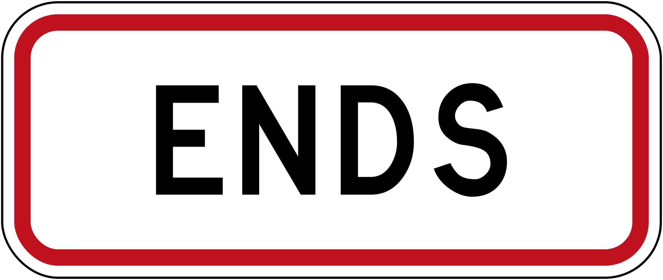 Restriction endsCode R7-2.2Supplementary panel indicating the restriction or zone ends at this point.
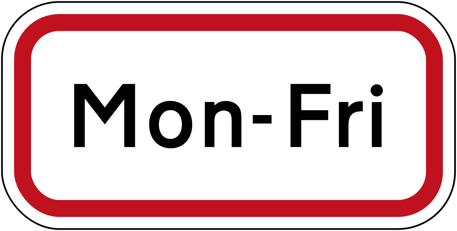 Time period mon friCode RP-3.4Supplementary panel specifying the restriction applies Monday to Friday.
Ready for your New Zealand theory test?
Signs are only part of the exam. Practice full New Zealand mock tests and see which topics you still get wrong.