Road signs in Israel
All 312 road signs used in Israel, grouped by type, with what each one means.
Free to browse, no sign-up required. Every sign with its shape, colors, and meaning.
Every sign in Israel
These are the signs as they appear in Israel, which uses its own sign system.
Warning signs
96 signs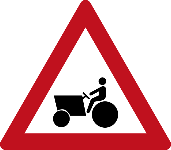 Agricultural vehicle warningCode 147Warning of slow-moving agricultural or farm vehicles on the road ahead.
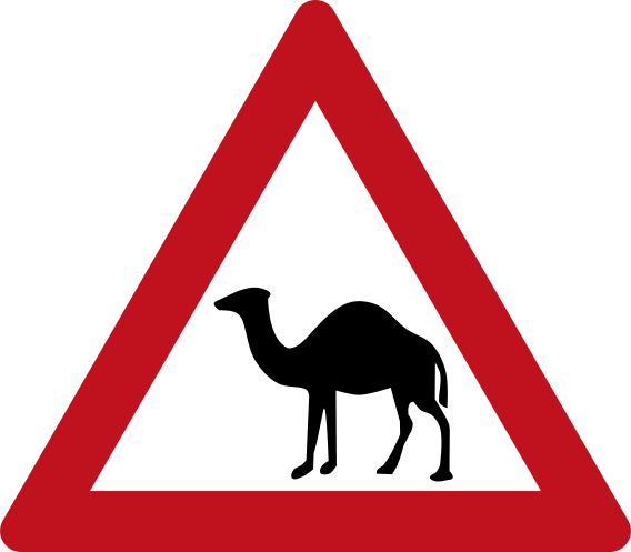 Camel crossing warningCode 146bWarning of camels crossing or being present on the road ahead.
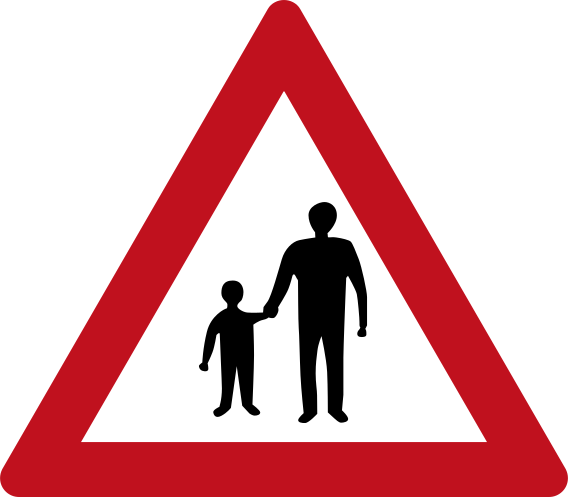 Children crossing warningCode 136Warning of children crossing or a school zone ahead.
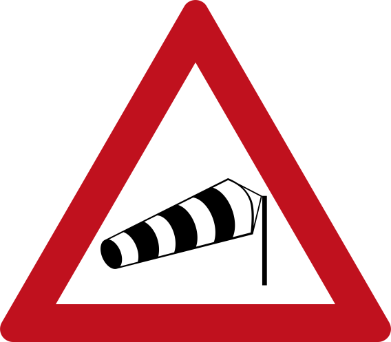 Crosswind from left warningCode 152aWarning of strong crosswinds from the left side of the road.
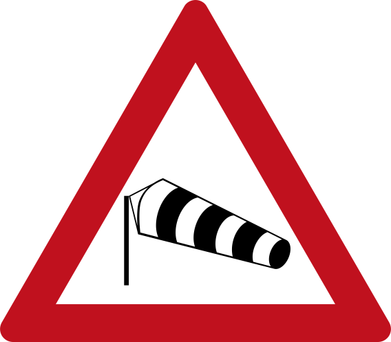 Crosswind from right warningCode 152bWarning of strong crosswinds from the right side of the road.
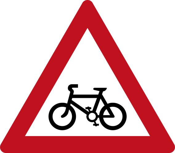 Cyclists crossing warningCode 137Warning of a cyclists crossing or cycle route crossing the road ahead.
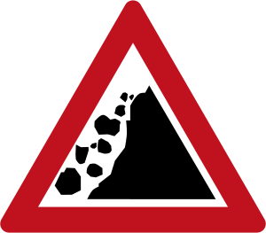 Falling rocks left warningCode 142Warning of falling rocks from the left side of the road.
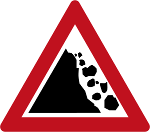 Falling rocks right warningCode 143Warning of falling rocks from the right side of the road.
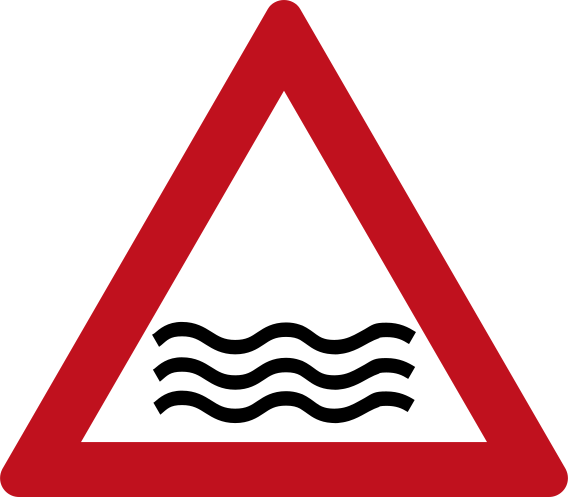 Flood or water on road warningCode 153Warning of flooding or water on the road surface ahead.
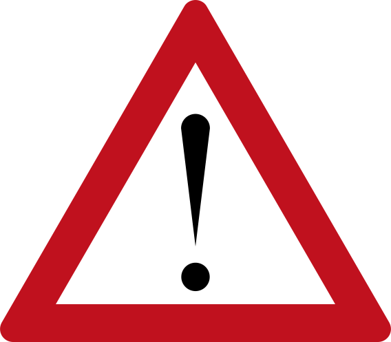 General hazard warningCode 150General danger ahead — used when no specific hazard symbol applies.
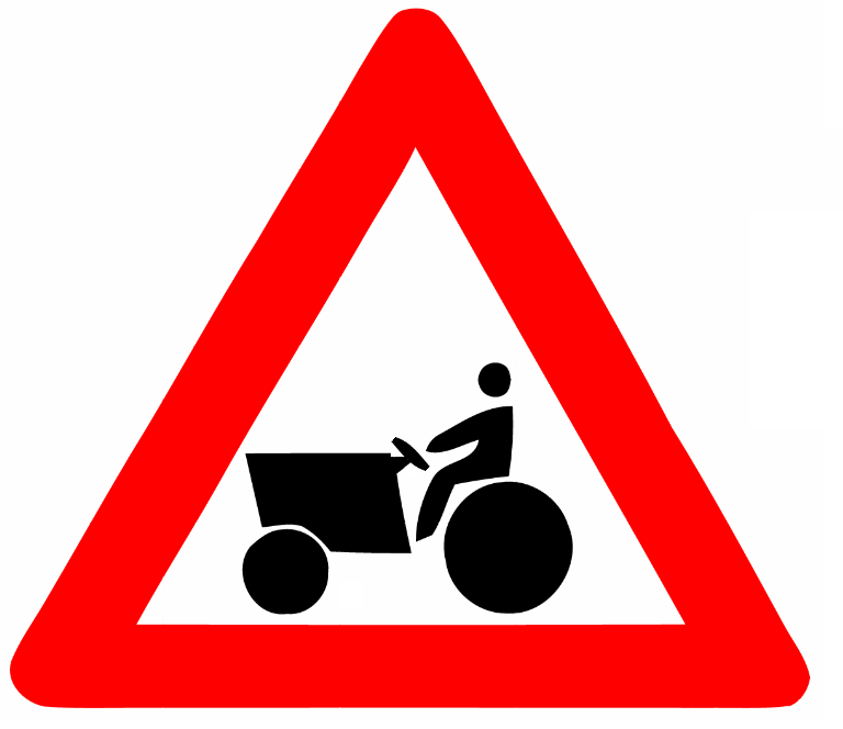 Warning agricultural vehicleWarning: agricultural vehicle (tractor) ahead or crossing.
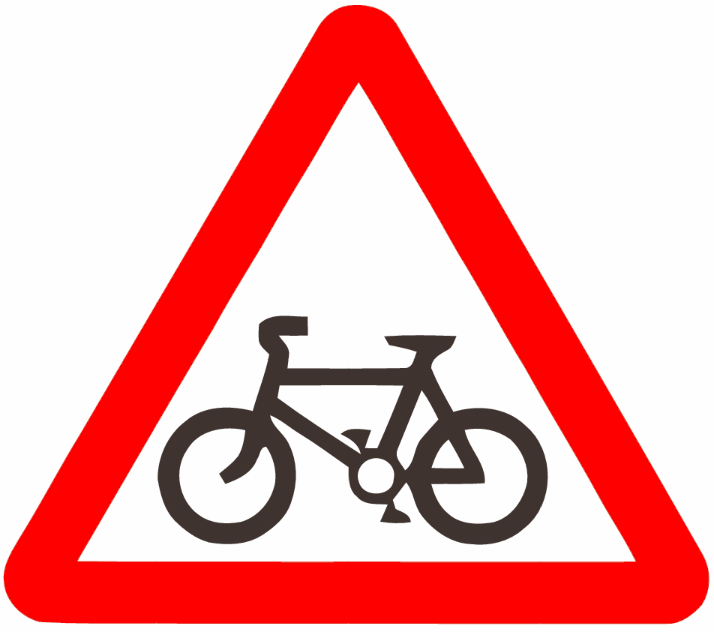 Warning bicycle trafficWarning: bicycle traffic ahead or crossing.
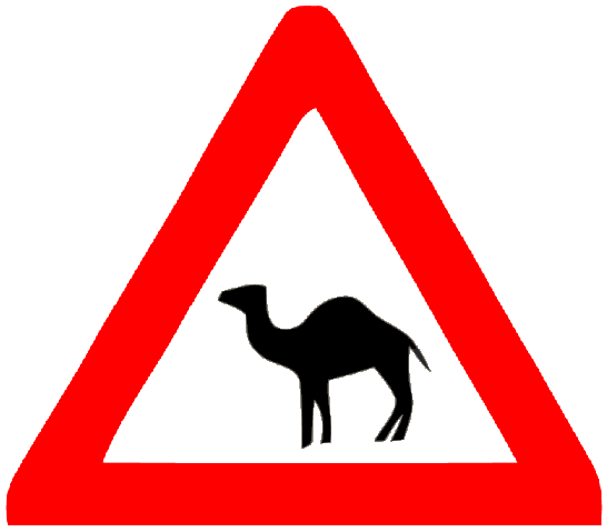 Warning camelWarning: camels may be on or crossing the road ahead.
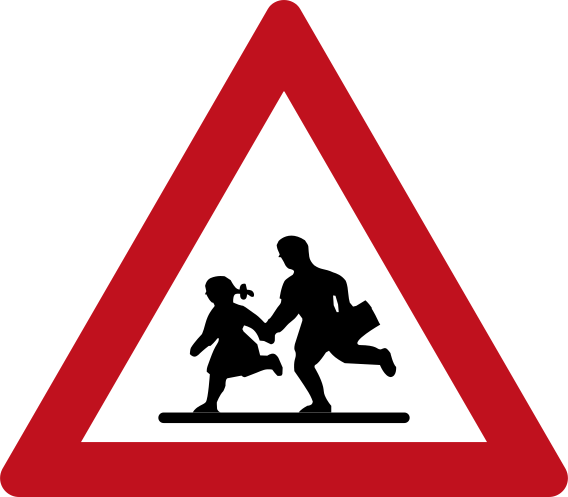 Warning childrenWarning: children near the road — drive with extra caution.
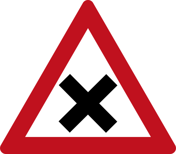 Warning crossroadsCode 114Warning: crossroads (four-way intersection) ahead.
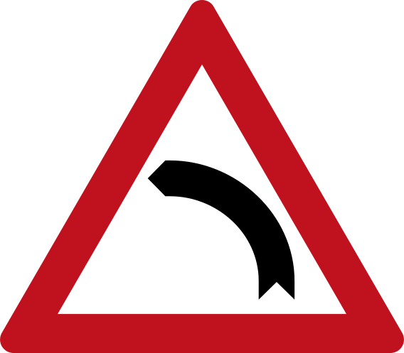 Warning curve leftCode 103Warning: sharp curve to the left ahead.
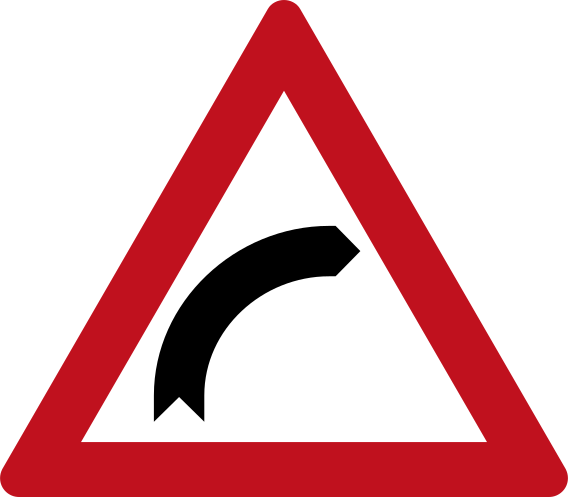 Warning curve rightCode 102Warning: sharp curve to the right ahead.
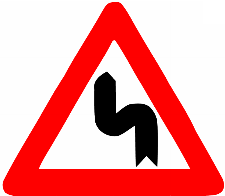 Warning double curve left firstWarning: double bend ahead — first curving to the left then to the right.
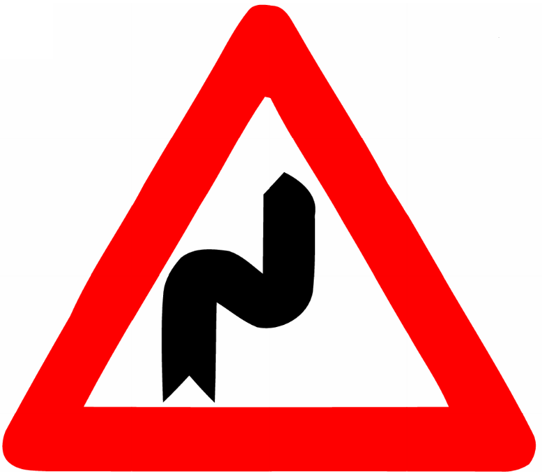 Warning double curve right firstWarning: double bend ahead — first curving to the right then to the left.
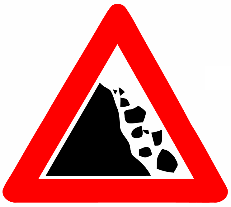 Warning falling rocksWarning: falling rocks — risk of rockfall onto the road.
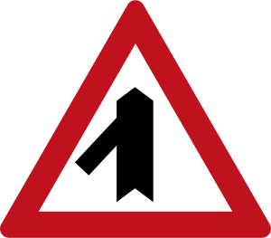 Warning merging traffic leftCode 124Warning: merging traffic joining from the left ahead.
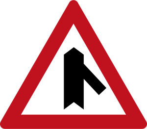 Warning merging traffic rightCode 123Warning: merging traffic joining from the right ahead.
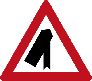 Warning road exits leftCode 126Warning: road diverges — lane exits to the left ahead.
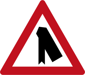 Warning road exits rightCode 125Warning: road diverges — lane exits to the right ahead.
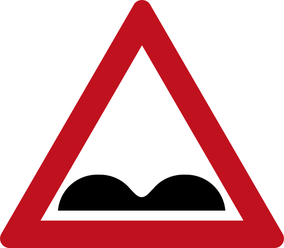 Warning road humpsCode 101Warning: road humps (speed bumps) ahead.
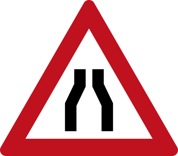 Warning road narrows both sidesCode 109Warning: road narrows ahead from both sides.
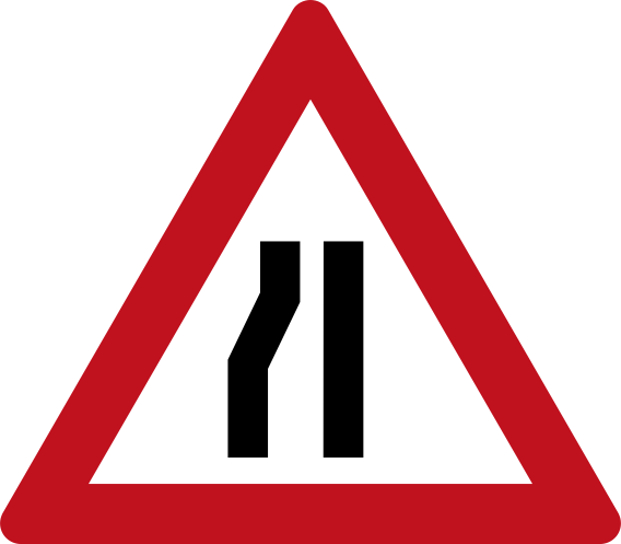 Warning road narrows leftCode 111Warning: road narrows from the left side ahead.
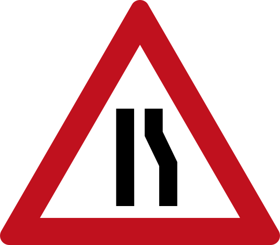 Warning road narrows rightCode 110Warning: road narrows from the right side ahead.
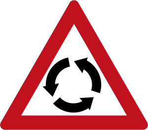 Warning roundaboutCode 121Warning: roundabout ahead.
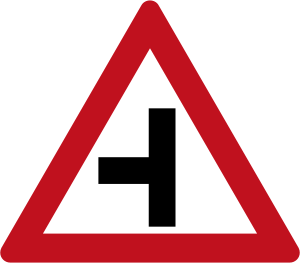 Warning side road leftCode 116Warning: side road joins from the left ahead.
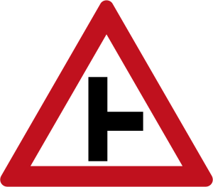 Warning side road rightCode 115Warning: side road joins from the right ahead.
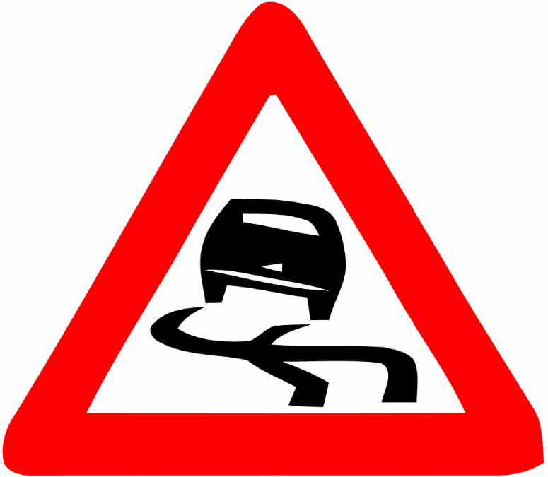 Warning slippery roadWarning: slippery road surface ahead — risk of skidding.
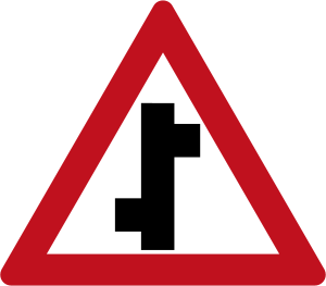 Warning staggered junction left rightCode 120Warning: staggered crossroads ahead — side roads offset left then right.
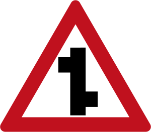 Warning staggered junction right leftCode 119Warning: staggered crossroads ahead — side roads offset right then left.
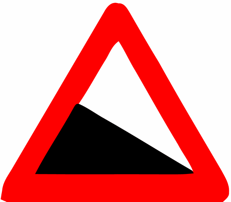 Warning steep descentWarning: steep downhill gradient ahead.
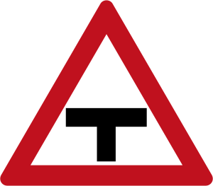 Warning t intersection aheadCode 117Warning: T-intersection ahead — through road crosses at right angles.
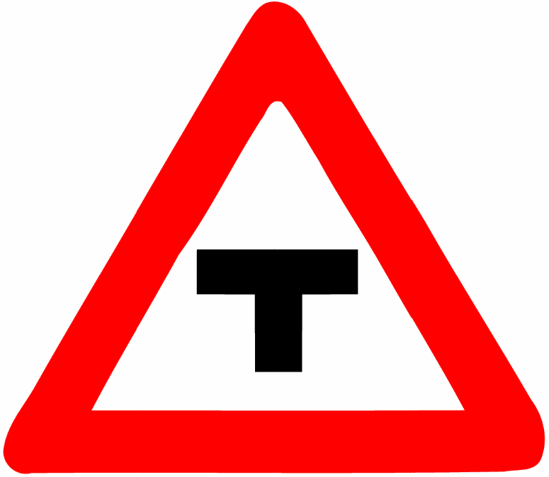 Warning t junctionWarning: T-junction ahead — road ends at a junction with a main road.
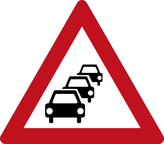 Warning traffic queue dayCode 127aWarning: traffic congestion or queuing likely ahead (daytime / white background variant).
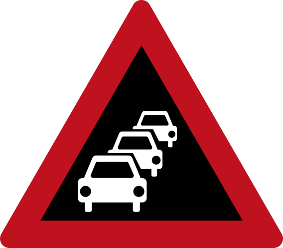 Warning traffic queue nightCode 127bWarning: traffic congestion or queuing likely ahead (night / dark background variant).
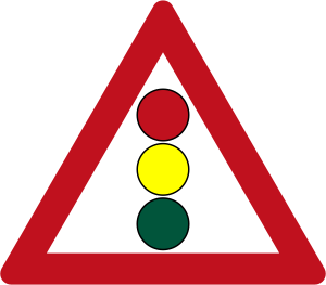 Warning traffic signalsCode 122Warning: traffic signals ahead.
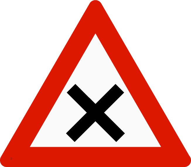 Warning uncontrolled crossroadsWarning: uncontrolled crossroads (four-way intersection) ahead.
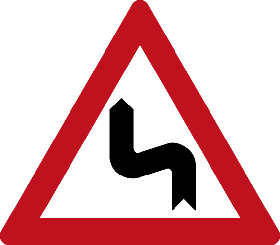 Warning winding road left firstCode 105Warning: winding road ahead with first bend to the left.
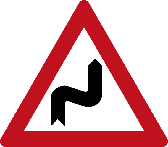 Warning winding road right firstCode 104Warning: winding road ahead with first bend to the right.
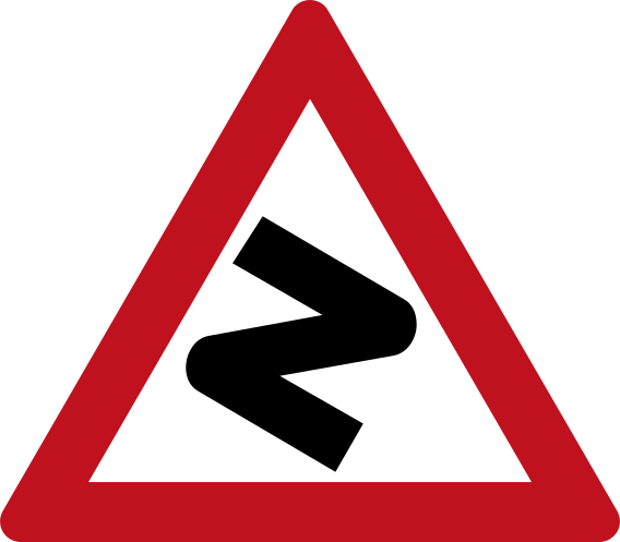 Warning zigzag roadCode 106Warning: series of sharp bends (zigzag road) ahead.
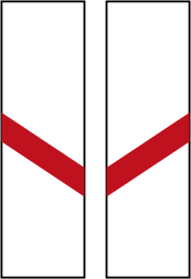 Level crossing advance marker one barCode 132Advance warning of a level crossing: one diagonal red-and-white bar indicating the crossing is 50 m ahead.
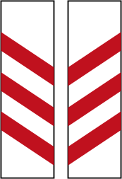 Level crossing advance marker three barsCode 130Advance warning of a level crossing: three diagonal red-and-white bars indicating the crossing is 150 m ahead.
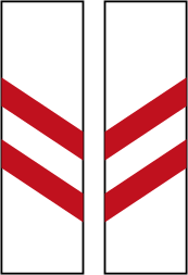 Level crossing advance marker two barsCode 131Advance warning of a level crossing: two diagonal red-and-white bars indicating the crossing is 100 m ahead.
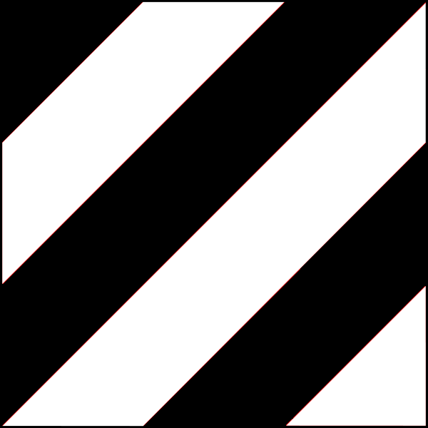 Level crossing advance warning rightAdvance warning of a level crossing ahead; diagonal black and white stripes indicate proximity to the crossing (right-hand variant).
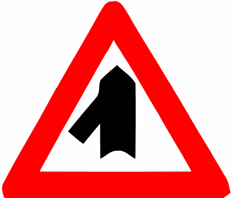 Merging road from leftWarning: a road of equal width merges into the main road from the left.
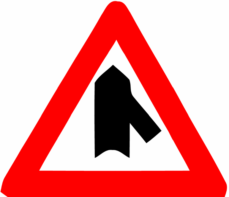 Merging road from rightWarning: a road of equal width merges into the main road from the right.
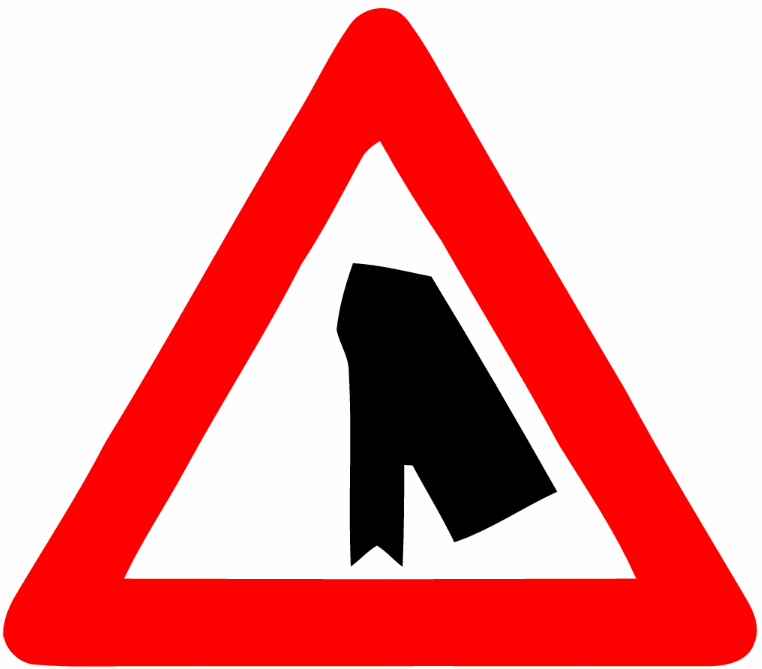 Merging smaller road from leftWarning: a smaller (minor) road merges into the main road from the left.
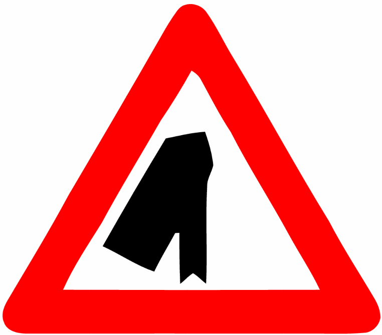 Merging smaller road from rightWarning: a smaller (minor) road merges into the main road from the right.
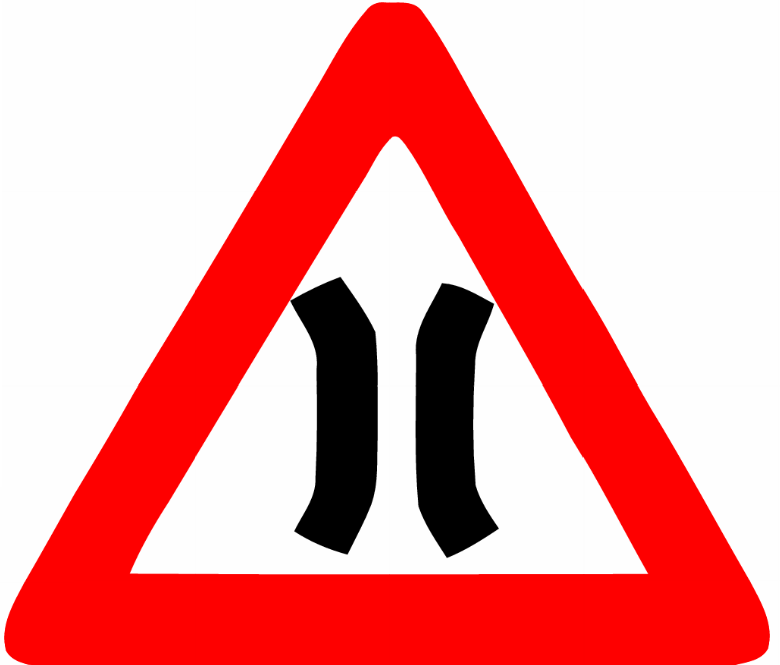 Narrow bridgeWarning: narrow bridge ahead where the road width is reduced.
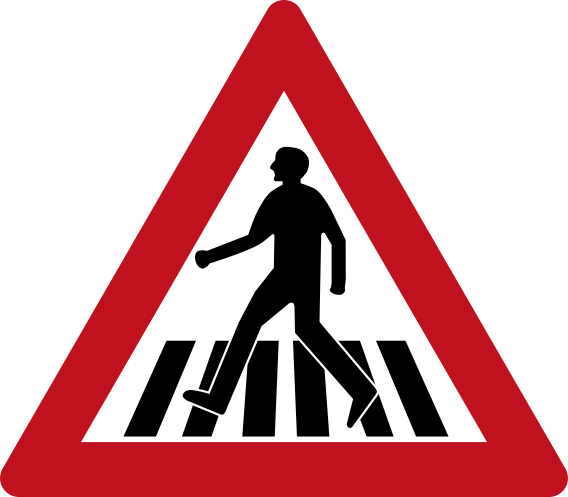 Pedestrian crossing warningCode 135Warning of a pedestrian crossing ahead.
 Railway crossing multiple tracksCode 134Level crossing with multiple railway tracks — a double X-shaped St. Andrew's cross marks the crossing.
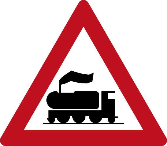 Railway crossing no barrierCode 129aWarning of an unguarded railway level crossing ahead.
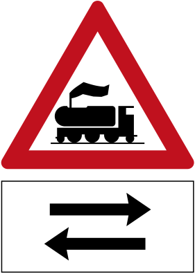 Railway crossing no barrier two way panelCode 129bWarning of an unguarded railway level crossing ahead with trains running in both directions.
 Railway crossing single trackCode 133Level crossing with a single railway track — an X-shaped St. Andrew's cross marks the crossing.
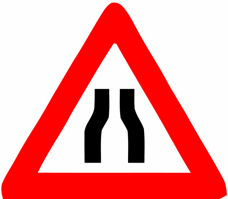 Road narrowsWarning: the road narrows ahead on both sides.
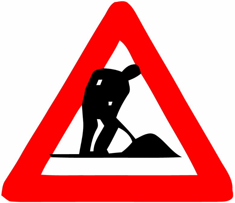 Road works aheadWarning of road works or construction activity ahead.
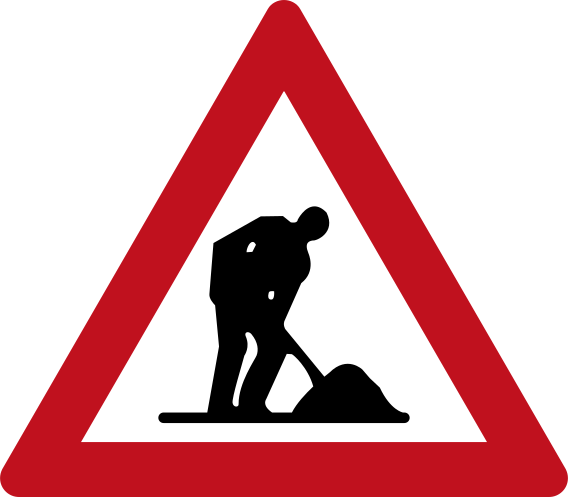 Roadwork ahead warningCode 901Roadwork ahead warning sign indicating construction or maintenance work on the road.
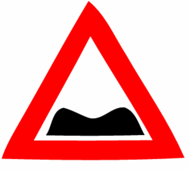 Rough roadWarning: rough or uneven road surface ahead.
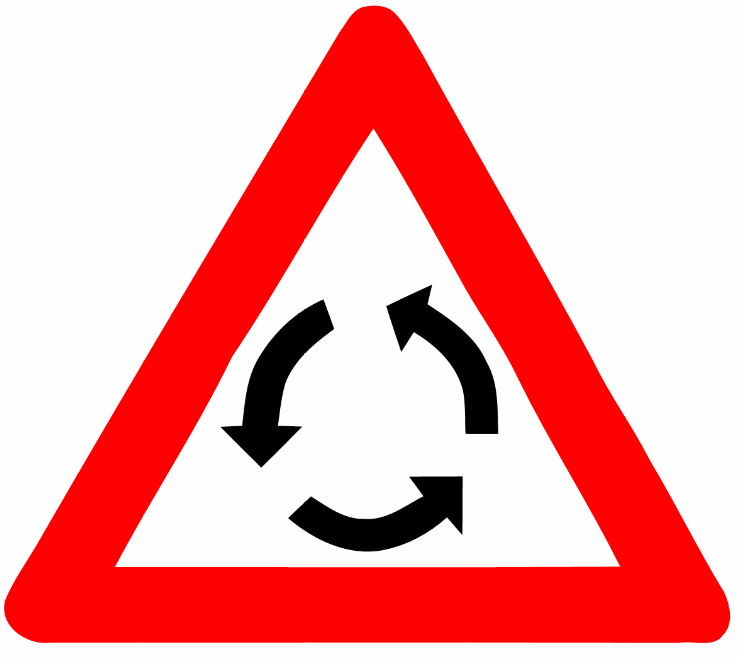 Roundabout aheadWarning: roundabout ahead.
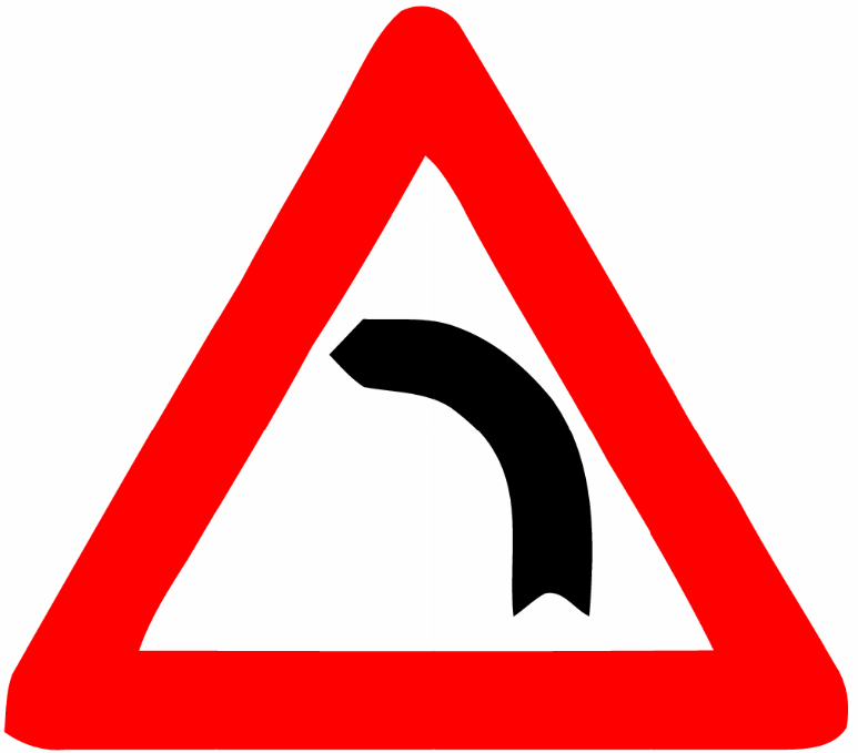 Sharp left curveWarning: sharp curve to the left ahead.
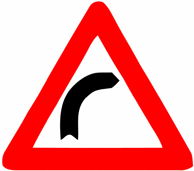 Sharp right curveWarning: sharp curve to the right ahead.
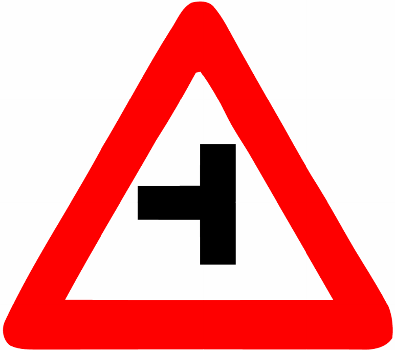 Side road leftWarning: a side road joins from the left ahead.
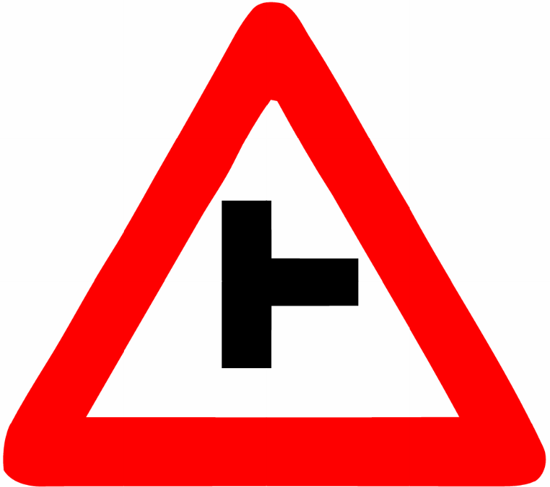 Side road rightWarning: a side road joins from the right ahead.
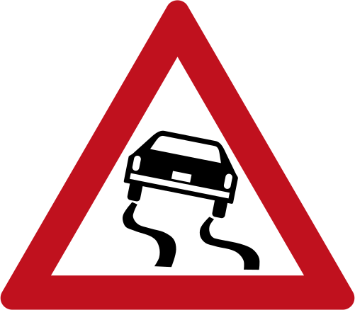 Slippery road warningCode 141Warning of a slippery road surface ahead.
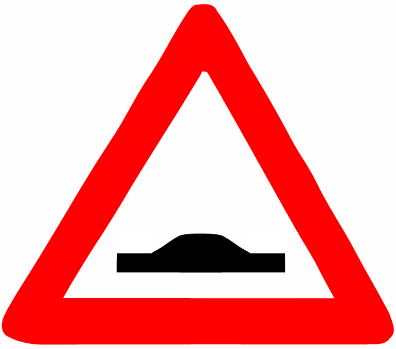 Speed bumpWarning of a speed bump (road hump) ahead.
 Speed bump warningCode 144Warning of a speed bump or road hump ahead.
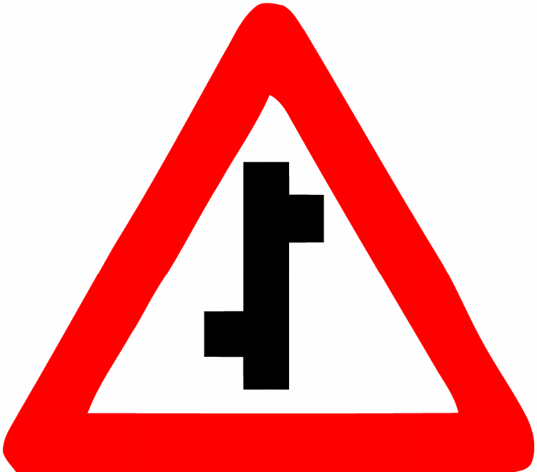 Staggered junction left then rightWarning: staggered crossroads ahead — first junction on the left, then one on the right.
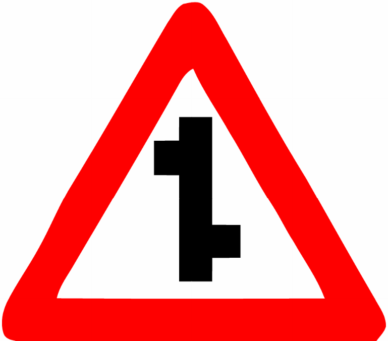 Staggered junction right then leftWarning: staggered crossroads ahead — first junction on the right, then one on the left.
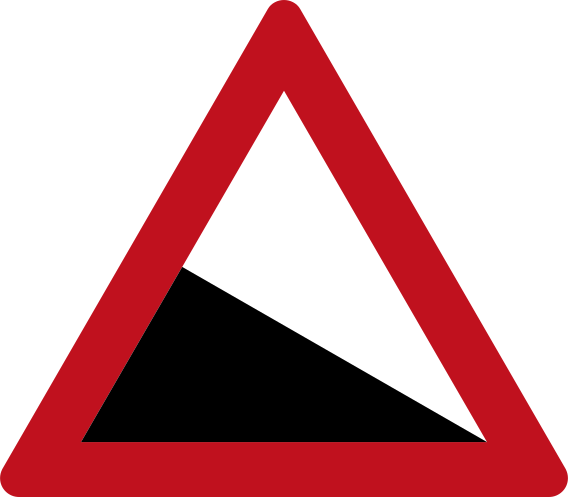 Steep ascent warningCode 140Warning of a steep uphill gradient ahead.
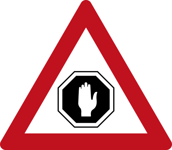 Stop ahead warningCode 139Warning that a mandatory stop sign is ahead.
 Temporary channelling deviceCode 904Temporary channelling marker showing a central diamond with left and right chevrons, used to guide traffic around an obstruction.
 Temporary chevron rightCode 903Temporary road-works chevron board directing traffic to the right, used to delineate a work zone.
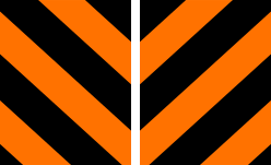 Temporary end of road barrierCode 908Temporary road-works end-of-road barrier with alternating orange and black diagonal stripes, indicating a road closure or dead-end ahead.
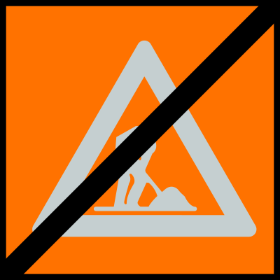 Temporary falling rocks cancelledCode 902Temporary sign indicating that a previously warned falling rocks hazard no longer applies (cancelled).
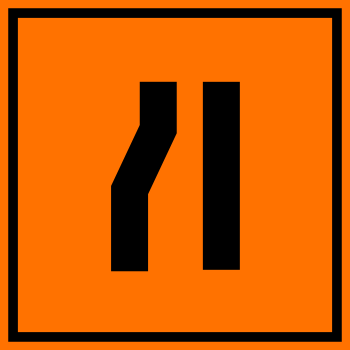 Temporary left lane closesCode 907Temporary road-works sign indicating the left lane closes ahead; traffic must merge right.
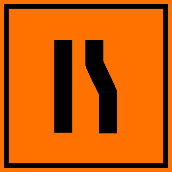 Temporary right lane closesCode 906Temporary road-works sign indicating the right lane closes ahead; traffic must merge left.
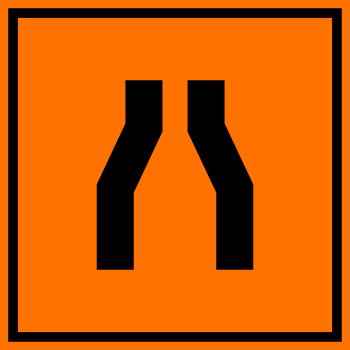 Temporary road narrowsCode 905Temporary road-works sign indicating road narrows ahead at a construction site.
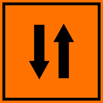 Temporary two way trafficCode 909Temporary road-works sign indicating two-way traffic operates ahead on what may normally be a one-way road.
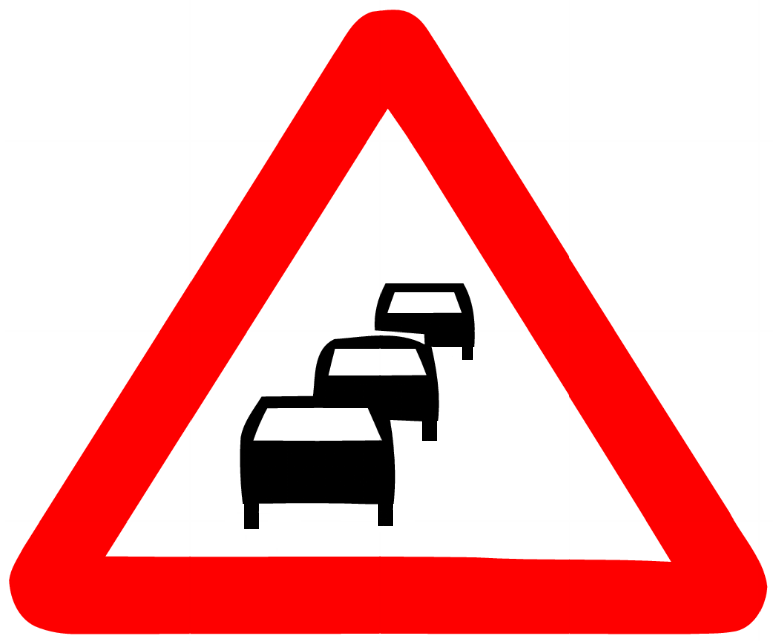 Traffic congestion aheadWarning of traffic congestion or a queue of vehicles ahead.
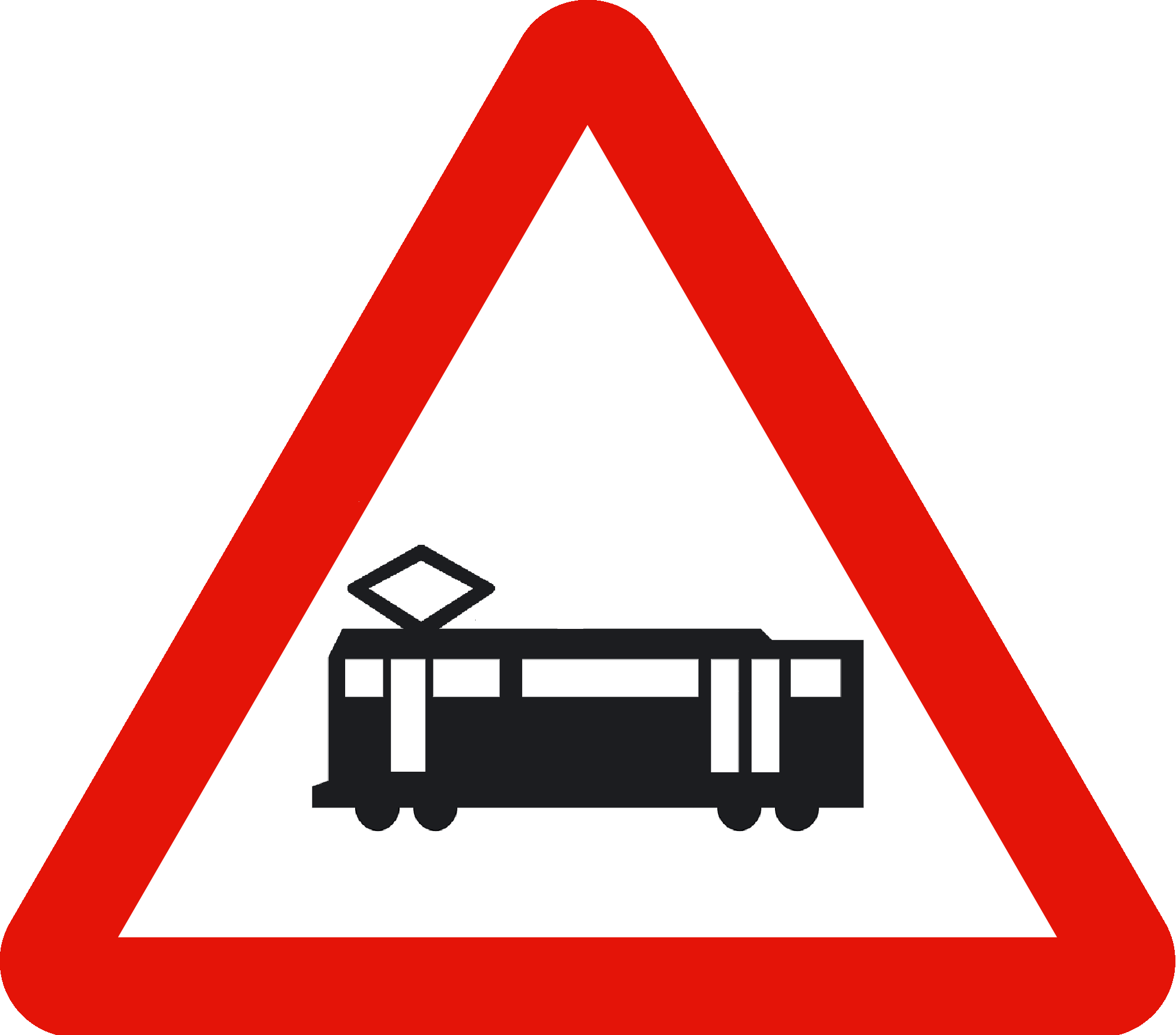 Tram crossing aheadWarning of a tram line crossing or tram traffic ahead.
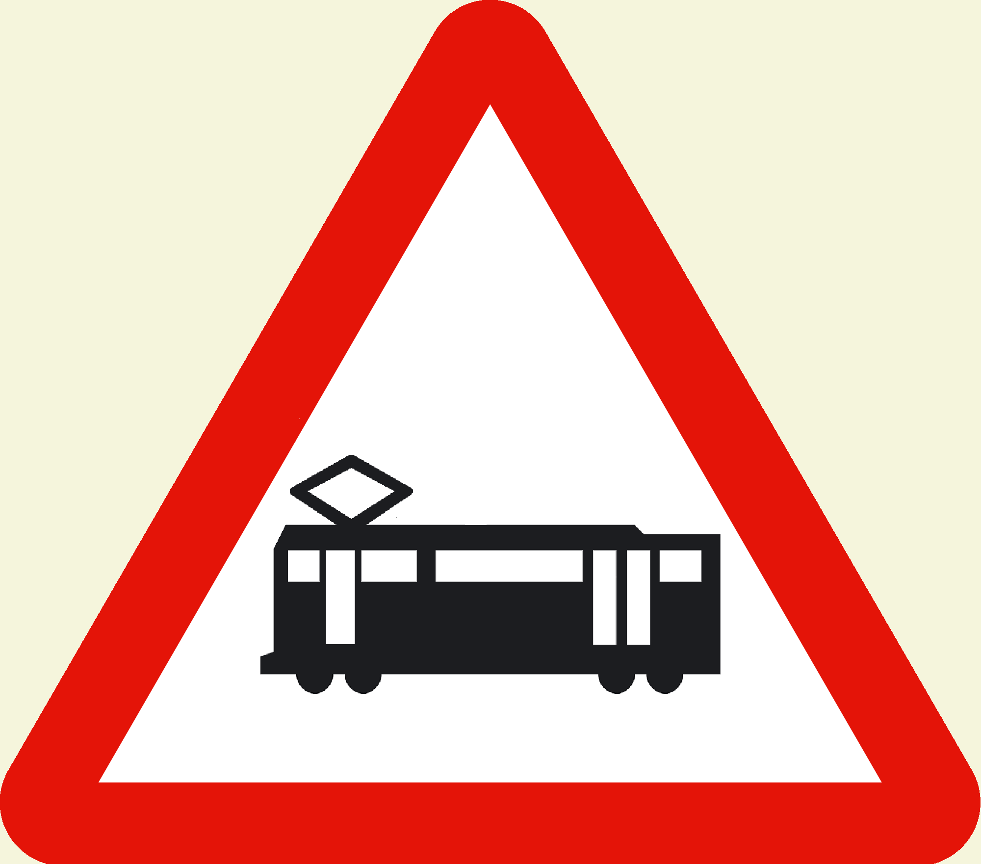 Tram crossing ahead beigeWarning of a tram line crossing or tram traffic ahead (variant with beige/cream background).
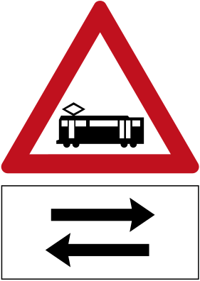 Tram crossing two way panelCode 128bWarning of a tram crossing ahead where trams travel in both directions.
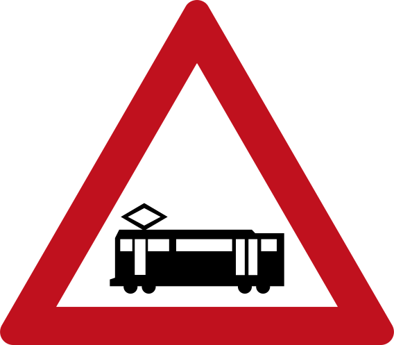 Tram crossing warningCode 128aWarning of a tram crossing ahead.
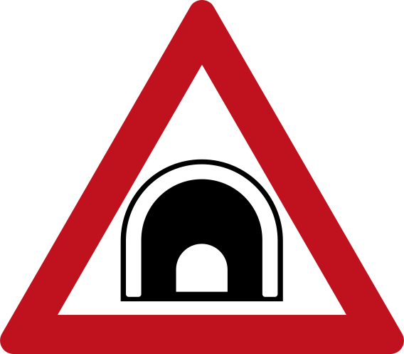 Tunnel ahead warningCode 138Warning of a tunnel ahead.
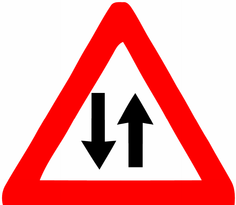 Two way trafficWarning of two-way traffic ahead; vehicles travel in both directions on the same road.
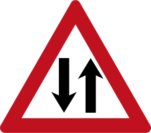 Two way traffic warningCode 145Warning of two-way traffic ahead on a road that was previously one-way.
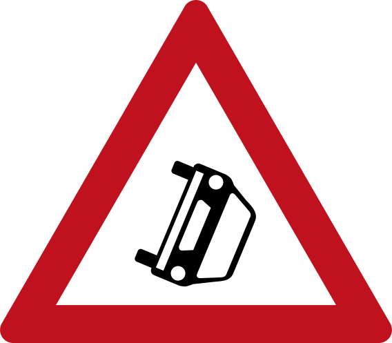 Vehicle rollover risk warningCode 151Warning of a risk of vehicle rollover on the road ahead.
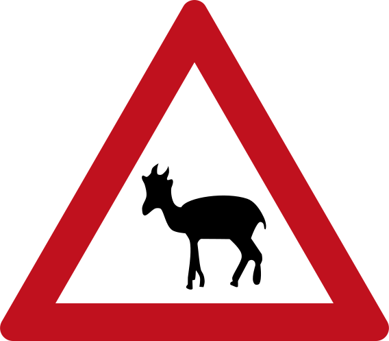 Wild animals warningCode 146aWarning of wild animals (deer/gazelle) crossing the road ahead.
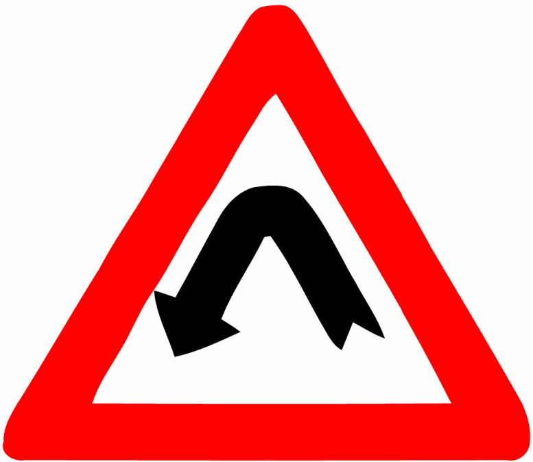 Winding left curveWarning of a double bend or winding road ahead, first curving to the left.
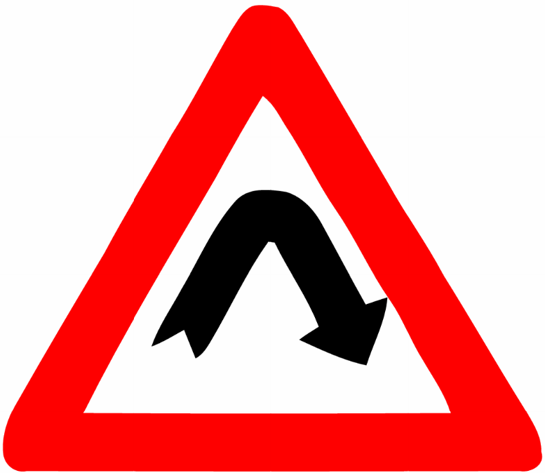 Winding right curveWarning of a double bend or winding road ahead, first curving to the right.
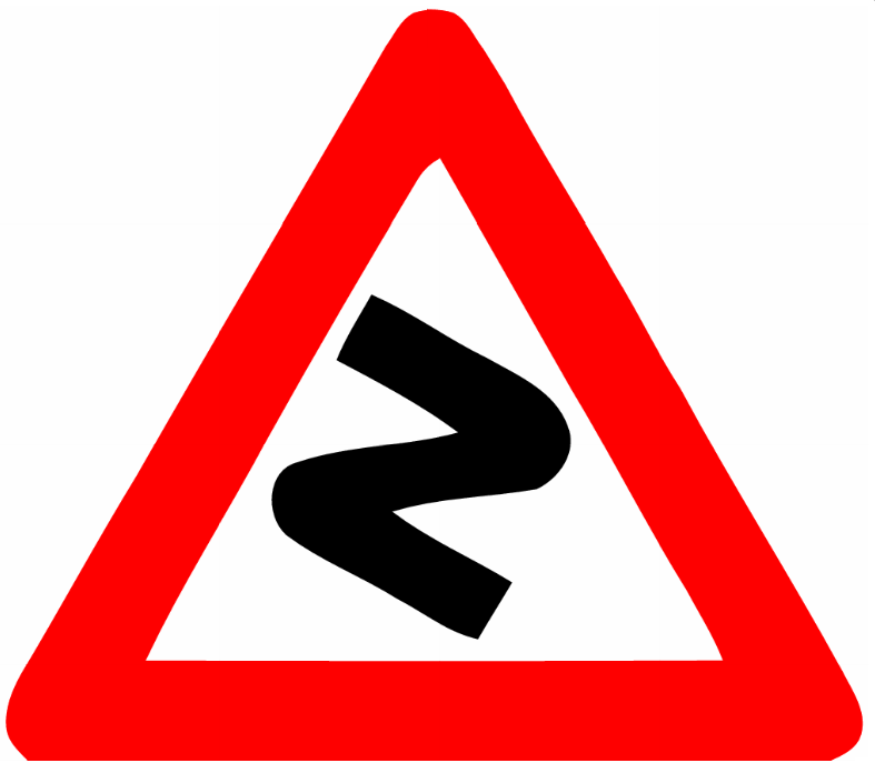 Winding road left firstWarning of a series of bends or a winding road ahead, with multiple curves.
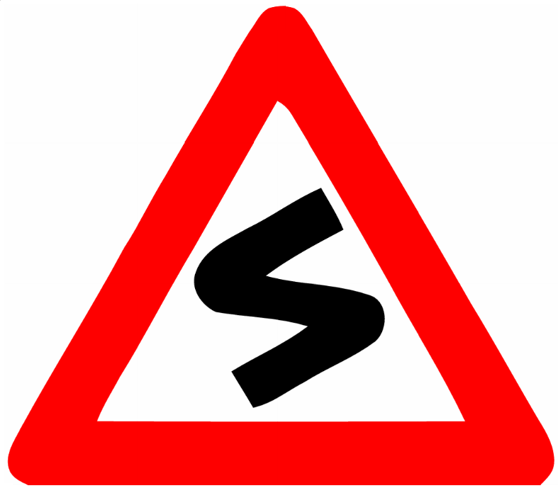 Winding road right firstWarning of a series of bends or a winding road ahead, with multiple curves (inverted/mirror variant, right curve first).
Priority signs
9 signs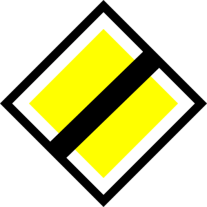 End priority roadCode 310End of priority road — right of way over side roads no longer applies.
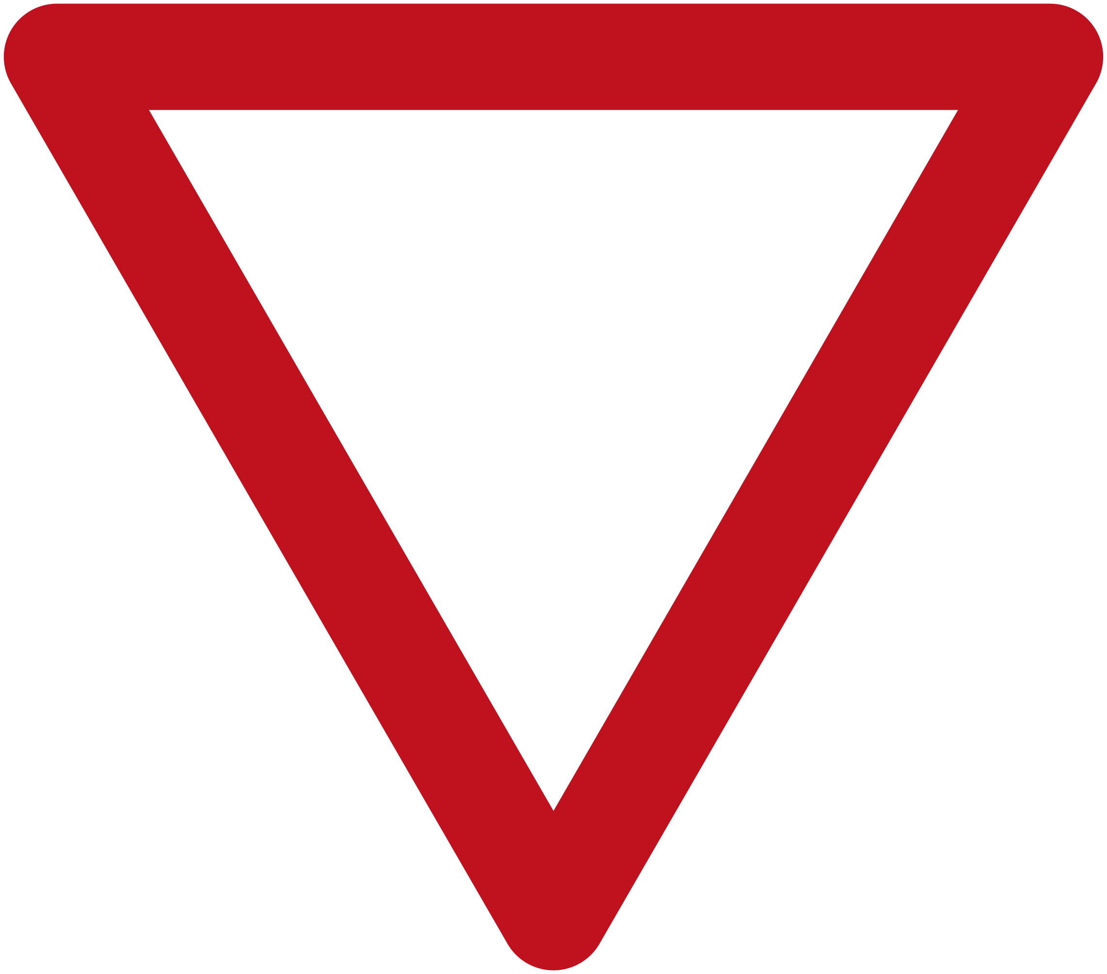 Give wayCode 301Give way — yield to traffic on the road you are entering.
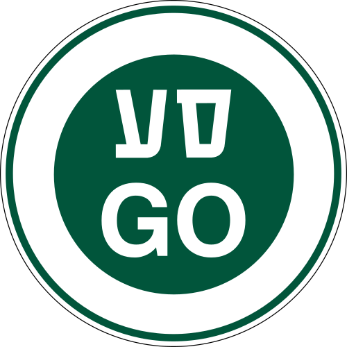 GoCode 305Go — proceed as directed by an authorised officer (Hebrew 'עבור' and 'GO').
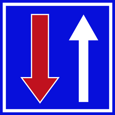 Priority over oncomingCode 308You have priority over oncoming traffic on a narrow road.
 Priority roadCode 309Priority road — you have right of way over traffic on side roads.
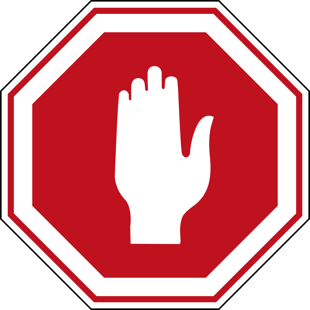 StopCode 302Stop — come to a complete halt and give way before proceeding.
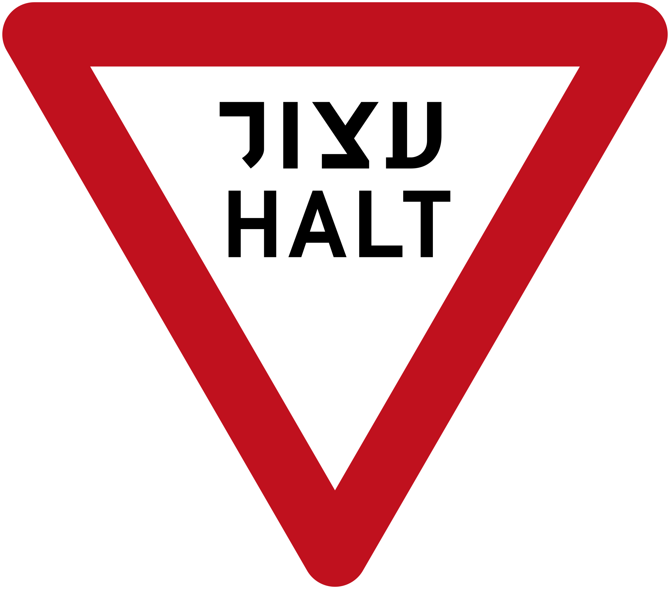 Stop historicCode 302Stop (historic variant) — come to a complete halt and give way; shows Hebrew 'עצור' and 'HALT'.
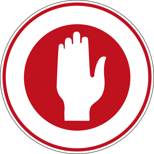 Stop policeCode 304Stop for police or authorised officer — come to a complete halt when directed.
 Stop handStop: all vehicles must come to a complete stop (Israeli stop sign showing a raised white hand on red octagon).
Prohibition signs
57 signs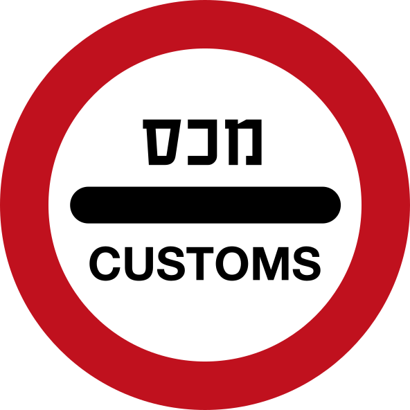 CustomsCode 438Customs checkpoint ahead — vehicles must stop for inspection.
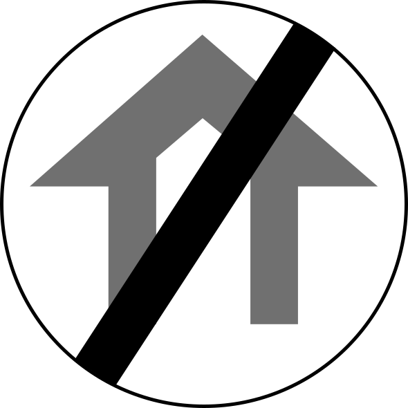 End height limit passageCode 425End of the height restriction for vehicles (cancels sign 424).
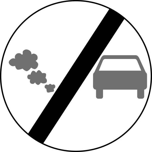 End no entry polluting vehiclesCode 441End of the prohibition on entry for polluting vehicles.
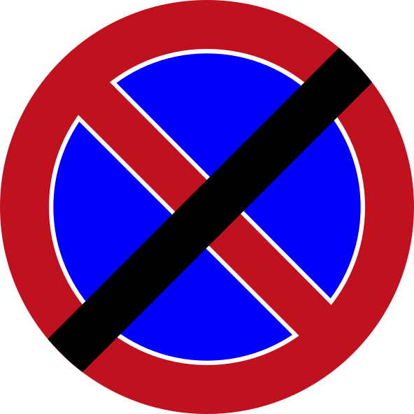 End no stoppingCode 434End of the no-stopping restriction.
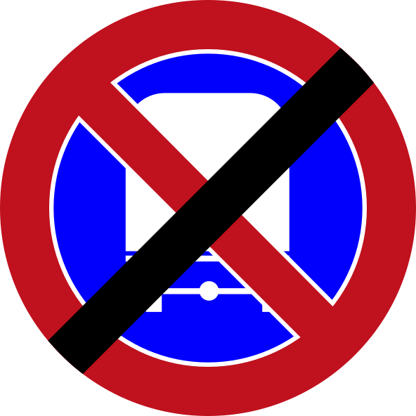 End no stopping trucksCode 436End of the no-stopping restriction for trucks and heavy vehicles.
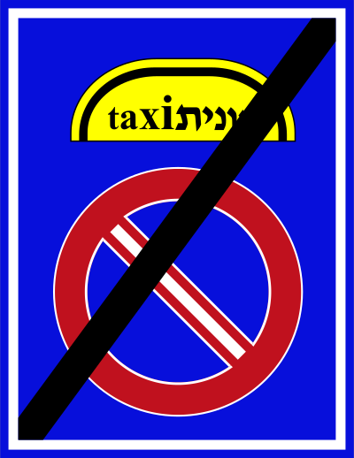 End no taxi stoppingCode 508End of the prohibition on taxi stopping.
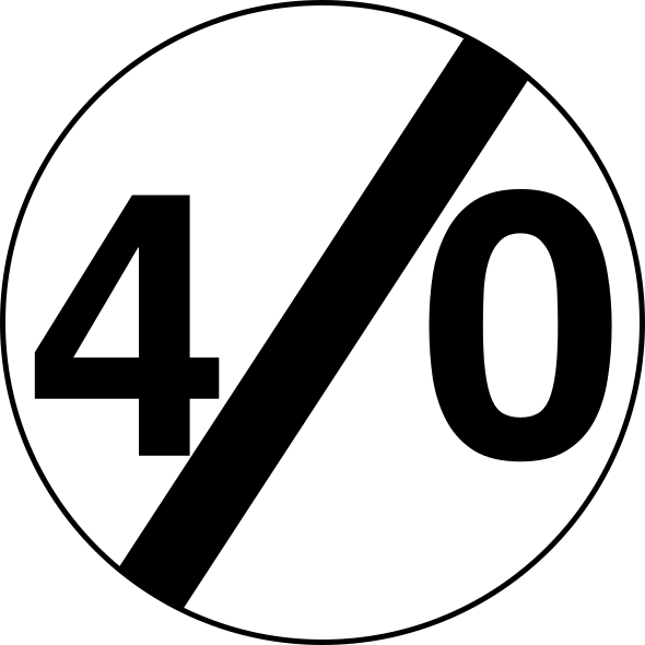 End speed limit 40Code 427-40End of the 40 km/h speed limit zone.
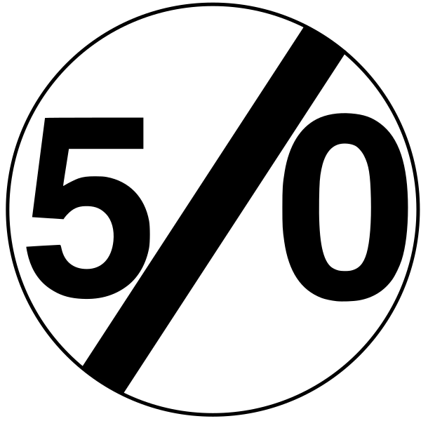 End speed limit 50Code 427-50End of the 50 km/h speed limit zone.
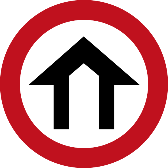 Height limit passageCode 424Entry prohibited to vehicles exceeding the indicated height (shown by the arch symbol).
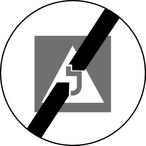 End learner driver zoneCode 419End of zone restricted to learner drivers.
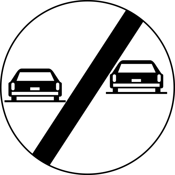 End no overtakingCode 421End of no-overtaking restriction for motor vehicles.
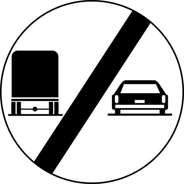 End no overtaking trucksCode 423End of no-overtaking restriction for trucks.
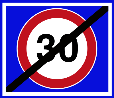 End speed limit 30Code 223End of the 30 km/h maximum speed limit zone.
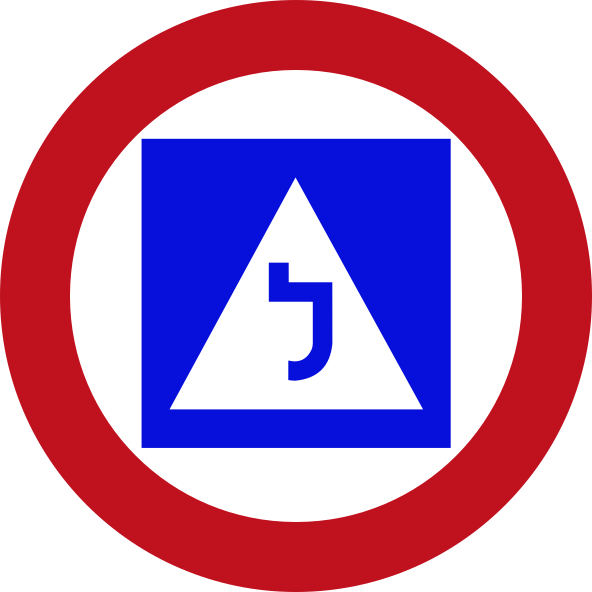 Learner driver zoneCode 418No entry for learner drivers — area restricted to experienced drivers only (Hebrew letter lamed indicating learner).
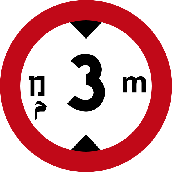 Max height 3m historicCode 416No entry for vehicles exceeding 3 metres in height (historic variant with Hebrew and Latin units).
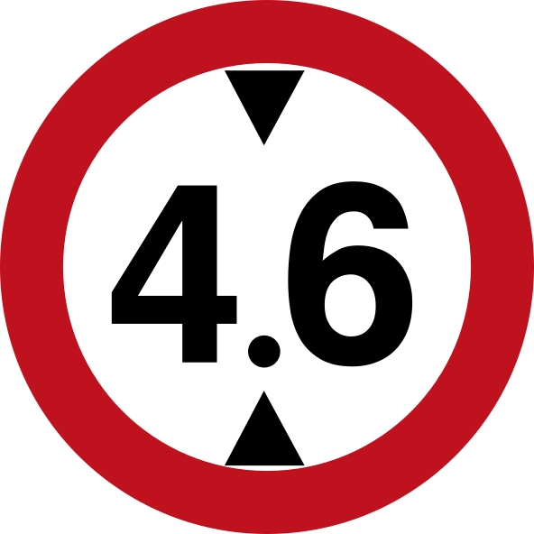 Max height 4 6mCode 416No entry for vehicles exceeding 4.6 metres in height.
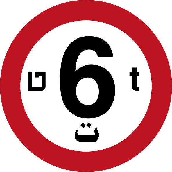 Max weight 6tCode 415No entry for vehicles whose gross weight exceeds 6 tonnes.
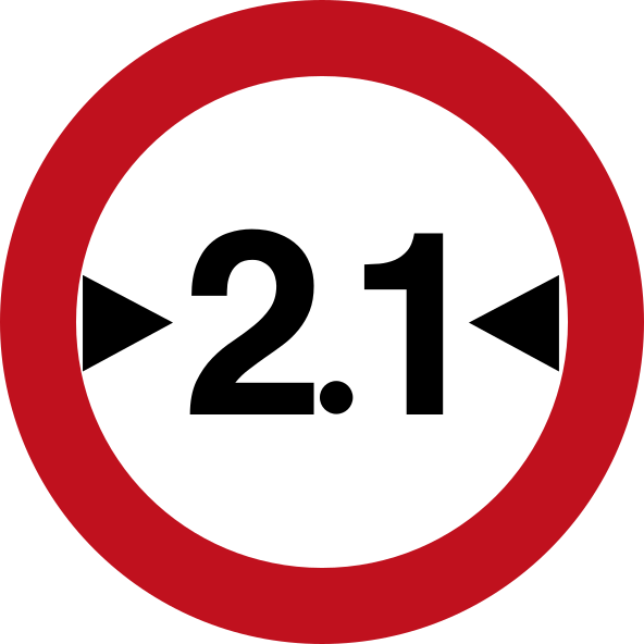 Max width 2 1mCode 417No entry for vehicles exceeding 2.1 metres in width.
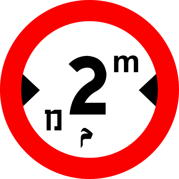 Max width 2m historicCode 417No entry for vehicles exceeding 2 metres in width (historic variant with Hebrew and Latin units).
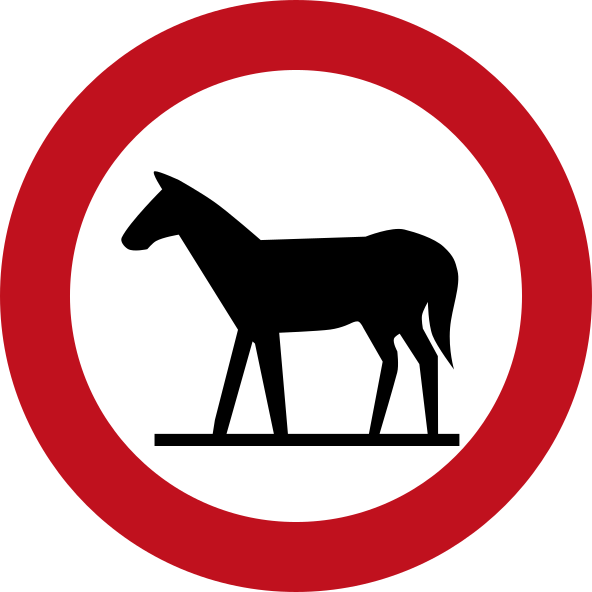 No animalsCode 411No entry for animals or animal-drawn vehicles.
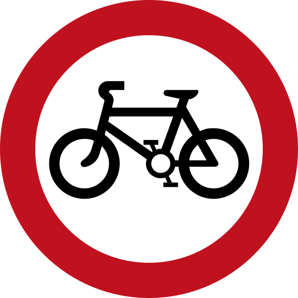 No bicyclesCode 412No entry for bicycles.
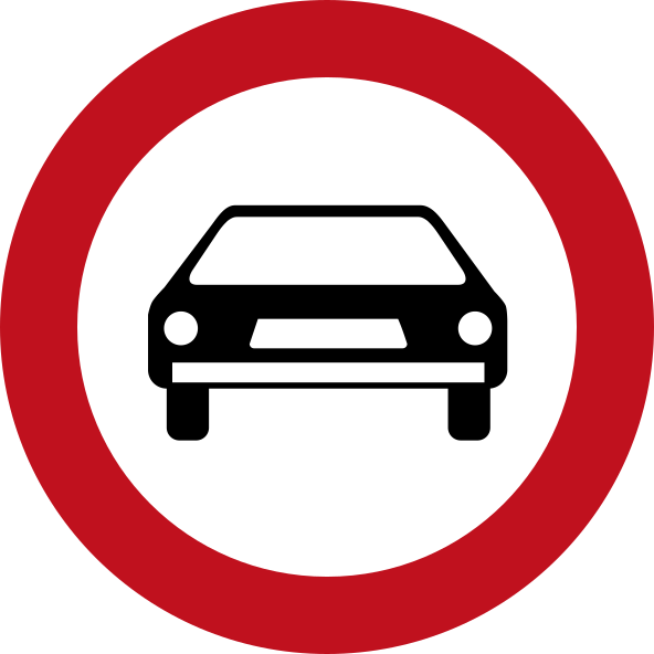 No carsCode 408No entry for private cars.
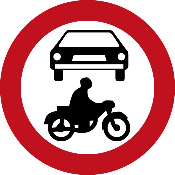 No cars motorcyclesCode 405No entry for motor vehicles (cars and motorcycles).
 No entry all vehiclesCode 401No entry for all vehicles in both directions.
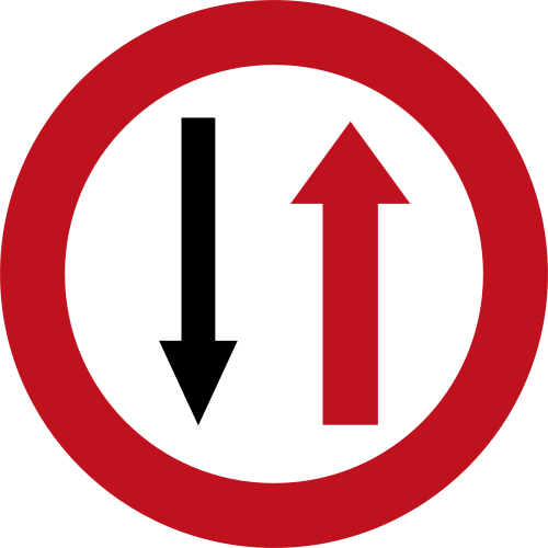 No entry oncomingCode 307Give priority to oncoming traffic — you must wait and let vehicles coming from the opposite direction pass first.
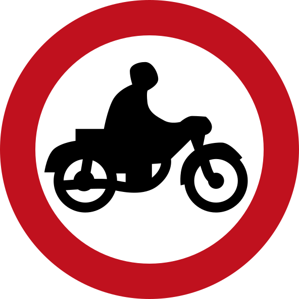 No motorcyclesCode 409No entry for motorcycles.
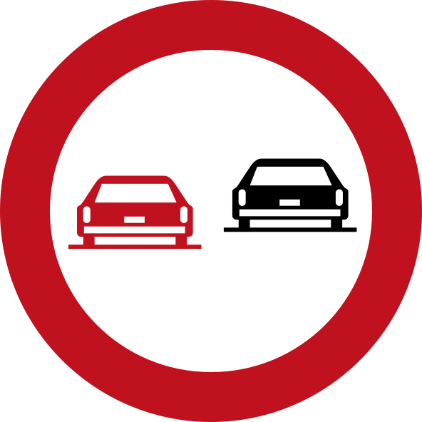 No overtakingCode 420No overtaking — motor vehicles must not overtake other motor vehicles.
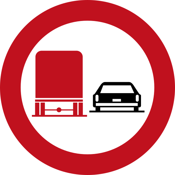 No overtaking trucksCode 422No overtaking by trucks — heavy goods vehicles must not overtake other motor vehicles.
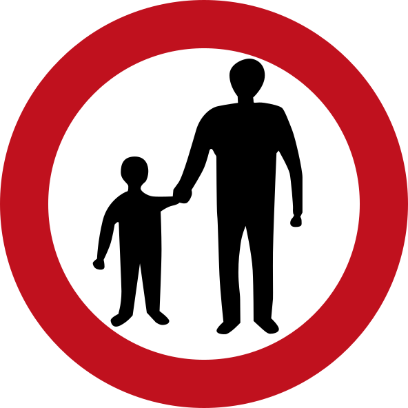 No pedestriansCode 413No entry for pedestrians.
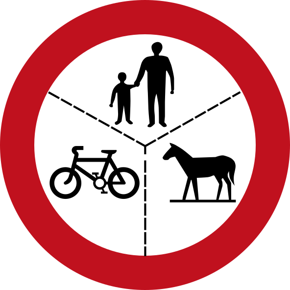 No pedestrians cycles animalsCode 414No entry for pedestrians, cyclists, and animals.
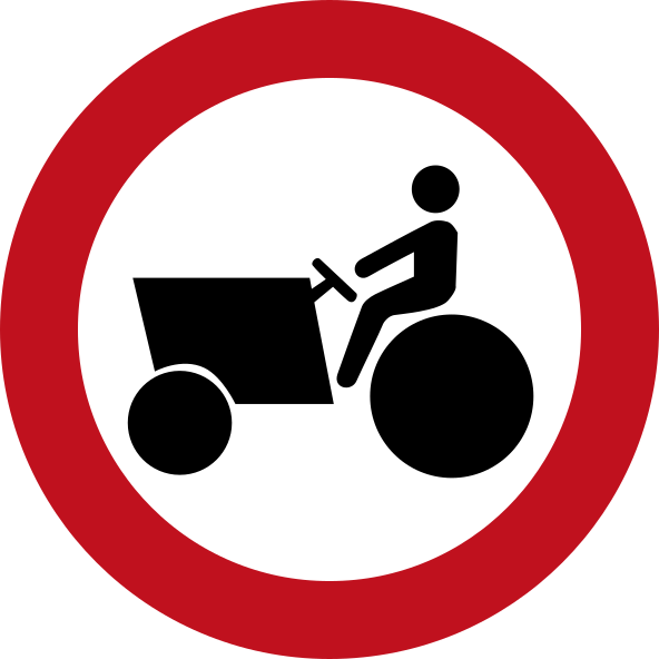 No tractorsCode 410No entry for tractors and agricultural machinery.
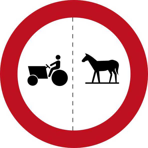 No tractors animalsCode 414aNo entry for tractors and animals.
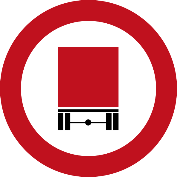 No trailersCode 407No entry for vehicles towing a trailer or semi-trailer.
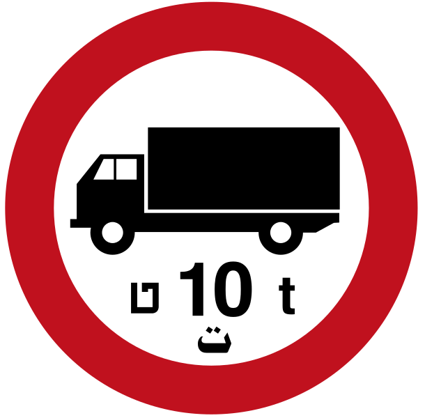 No trucks over 10tCode 406No entry for trucks exceeding 10 tonnes gross weight.
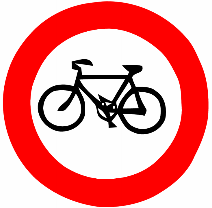 Prohibitory bicyclesBicycles are prohibited from entering or using this road.
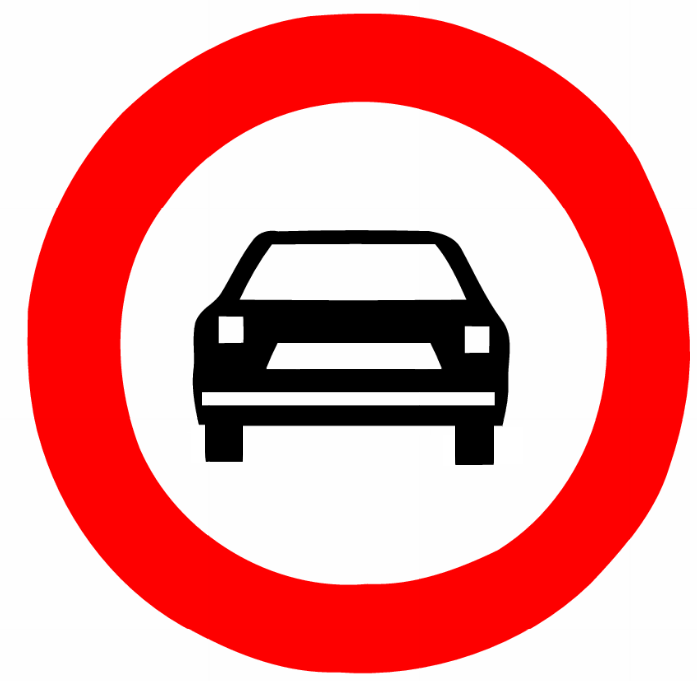 Prohibitory motor vehiclesMotor vehicles (cars) are prohibited from entering this road.
 Road closed barrier redCode 403Road closed — diagonal red-and-white striped barrier panel indicating road ahead is blocked.
 Road closed barrier whiteCode 404Road closed — red and white horizontal striped barrier panel indicating road ahead is blocked.
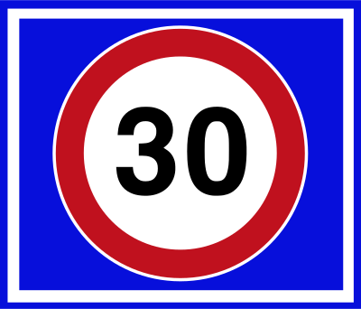 Speed limit 30Code 222Maximum speed limit of 30 km/h.
 Wrong wayCode 402No entry — one-way road, do not enter from this direction.
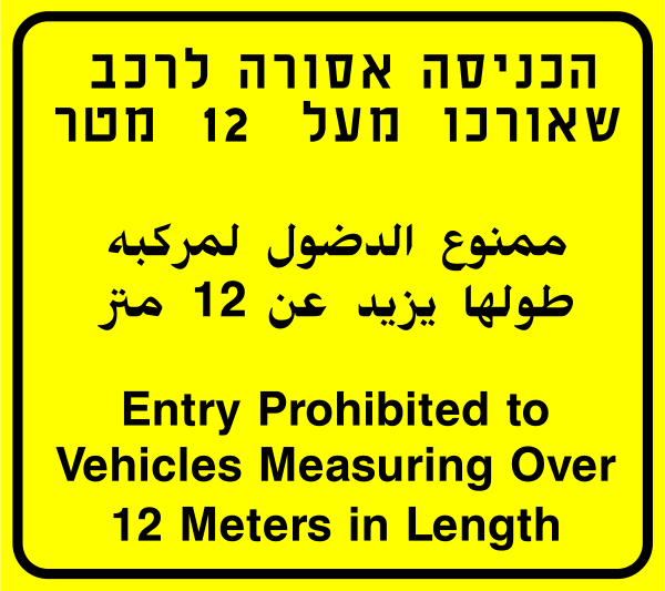 No entry over 12m lengthCode 439Entry prohibited to vehicles measuring over 12 metres in length.
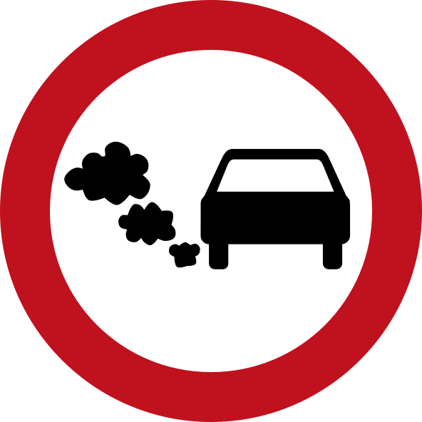 No entry polluting vehiclesCode 440Entry prohibited to vehicles emitting excessive exhaust pollution.
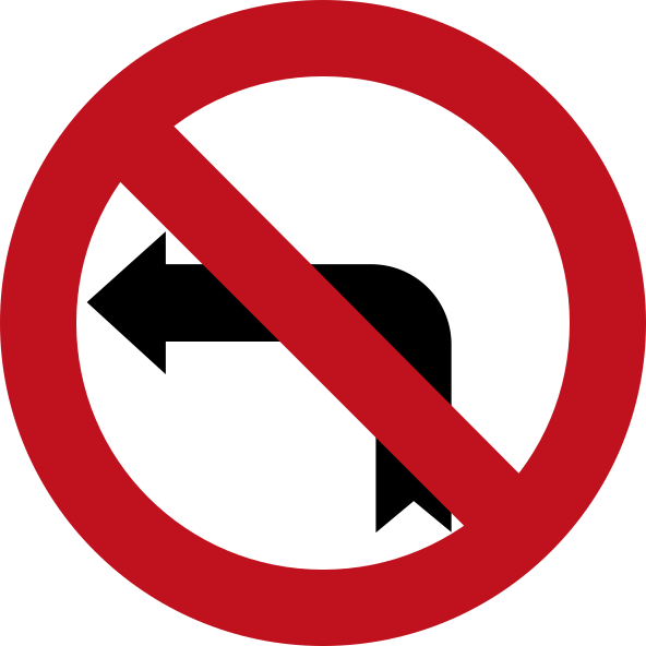 No left turnCode 429Turning left is prohibited.
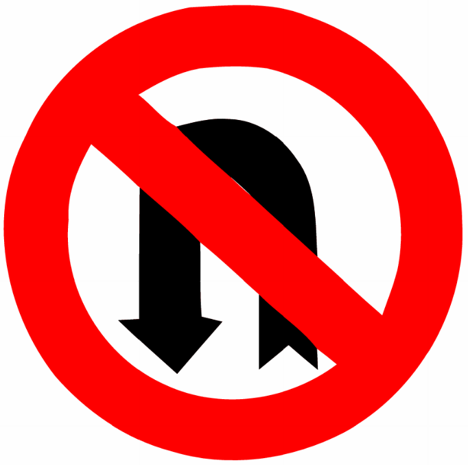 No left u turnU-turns to the left are prohibited.
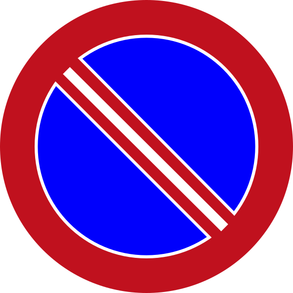 No parkingCode 433Parking of vehicles is prohibited.
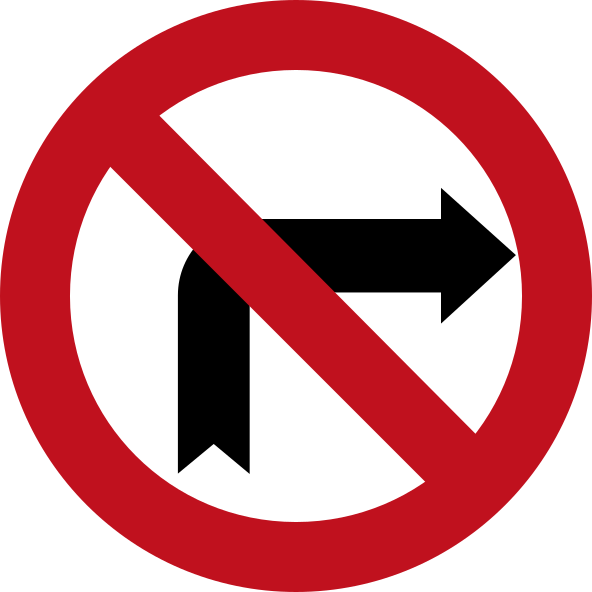 No right turnCode 428Turning right is prohibited.
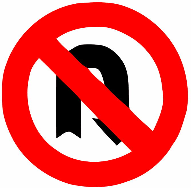 No right u turnU-turns to the right are prohibited.
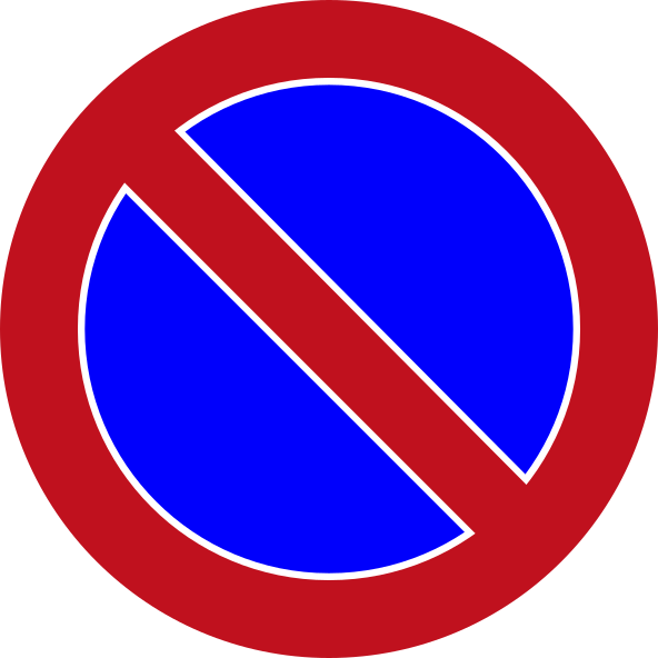 No stoppingCode 432Stopping of vehicles is prohibited.
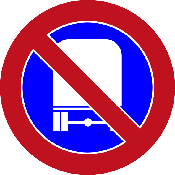 No stopping trucksCode 435Stopping of trucks and heavy vehicles is prohibited.
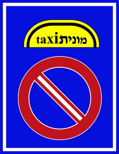 No taxi stoppingCode 507Stopping or standing of taxis (sherut/monit) is prohibited in this area.
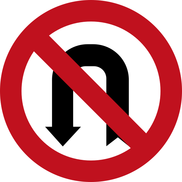 No u turn leftCode 431U-turn to the left is prohibited.
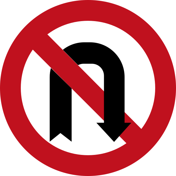 No u turn rightCode 430U-turn to the right is prohibited.
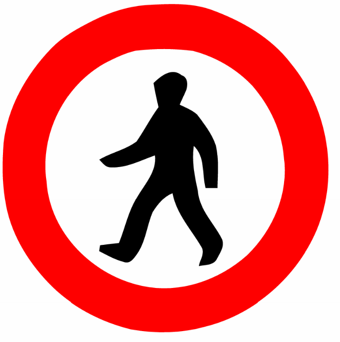 Pedestrians prohibitedPedestrians are not permitted to use this road or path.
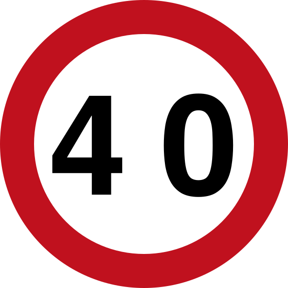 Speed limit 40Code 426-40Maximum speed limit is 40 km/h.
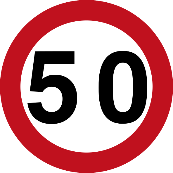 Speed limit 50Code 426-50Maximum speed limit is 50 km/h.
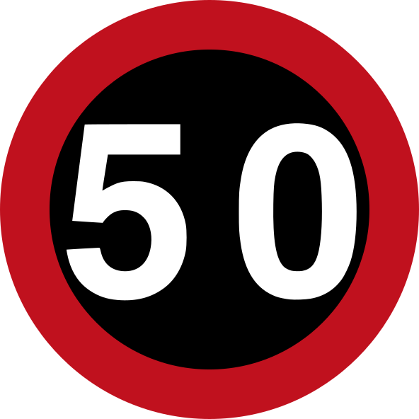 Speed limit 50 blackCode 4_26-50Maximum speed limit is 50 km/h (variant with black background).
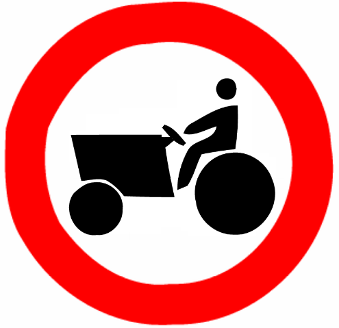 Tractors prohibitedTractors and agricultural work vehicles are prohibited from entering.
Mandatory signs
30 signs Go straight or turn leftCode 202Drivers must go straight ahead or turn left.
 Go straight or turn rightCode 201Drivers must go straight ahead or turn right.
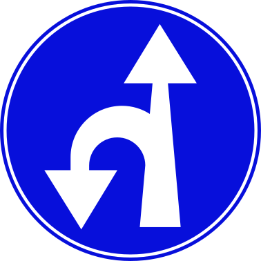 Go straight or u turn leftCode 210Drivers must go straight ahead or make a U-turn to the left.
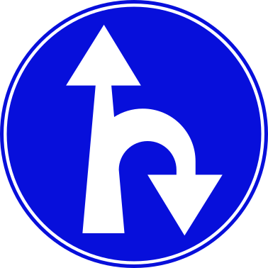 Go straight or u turn rightCode 209Drivers must go straight ahead or make a U-turn to the right.
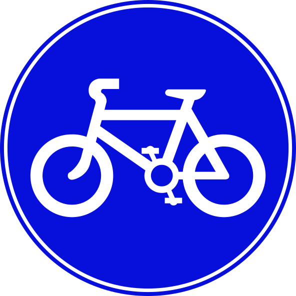 Bicycle pathCode 227Mandatory path for cyclists only.
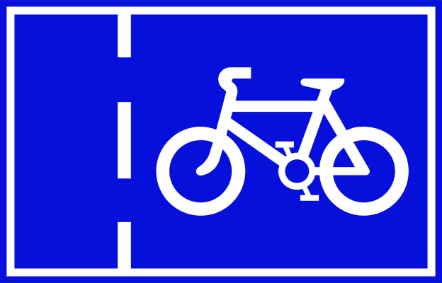 Cycle laneCode 224Mandatory cycle lane — bicycles must use this lane.
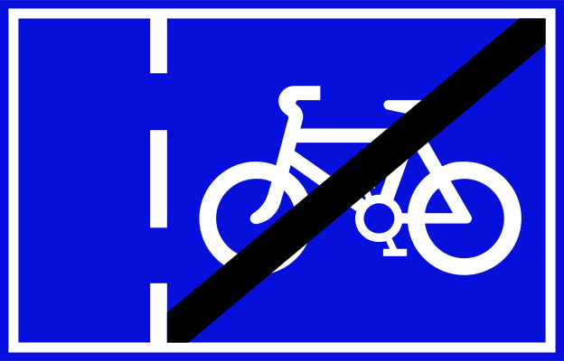 End cycle laneCode 225End of mandatory cycle lane.
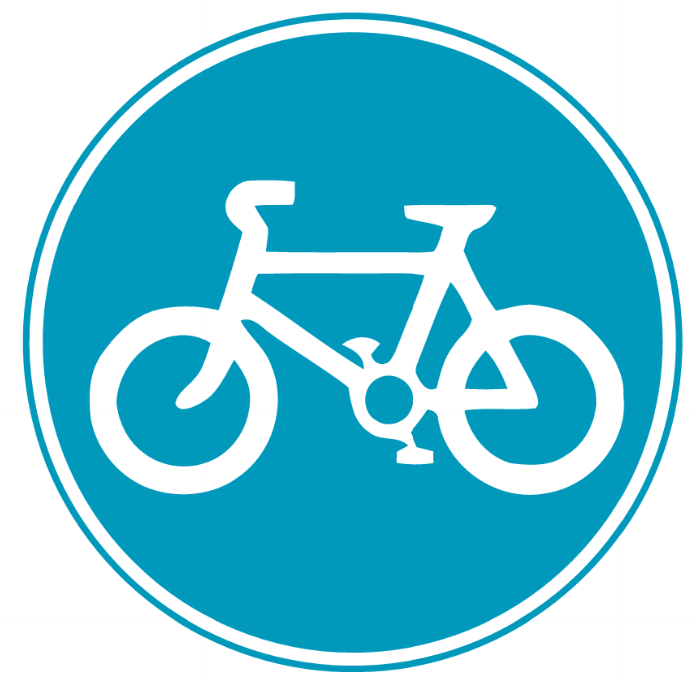 Mandatory bicycle pathMandatory bicycle path — only cyclists may use this route.
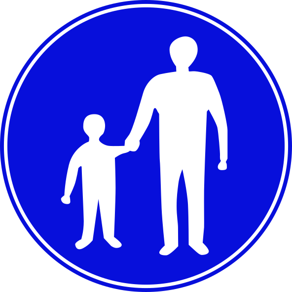 Pedestrian pathCode 226Mandatory path for pedestrians only.
 RoundaboutCode 303Roundabout ahead — traffic circulates anti-clockwise; give way to vehicles already in the roundabout.
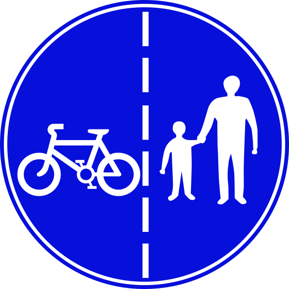 Segregated pedestrian cycle pathCode 229Segregated path with separate lanes for cyclists and pedestrians side by side.
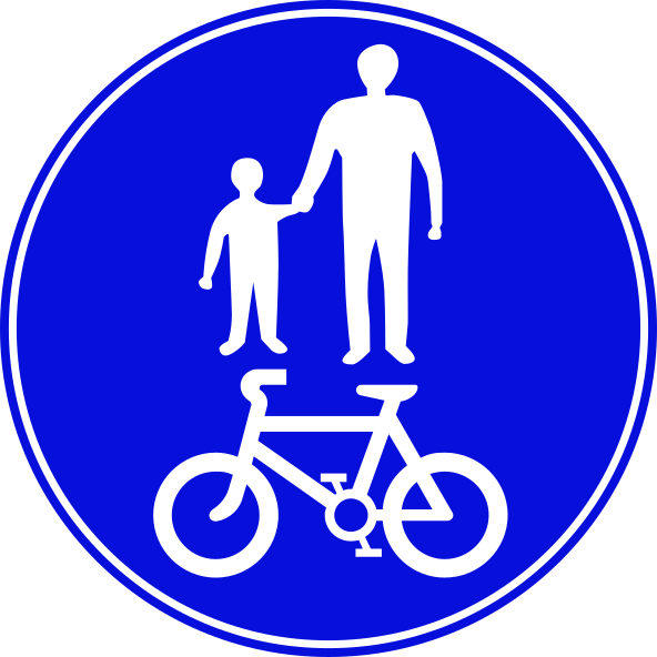 Shared pedestrian cycle pathCode 228Mandatory shared path for both pedestrians and cyclists.
 Keep leftCode 215Drivers must keep to the left of the obstacle or island.
 Keep rightCode 214Drivers must keep to the right of the obstacle or island.
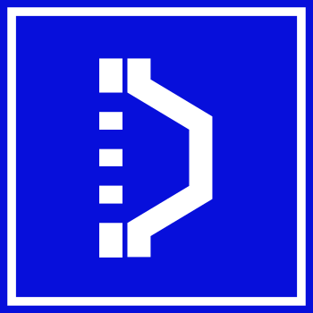 Keep right of islandCode 637Sign indicating drivers must keep to the right of a traffic island or channelling device.
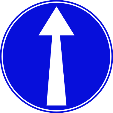 Mandatory straight aheadCode 203Drivers must continue straight ahead only.
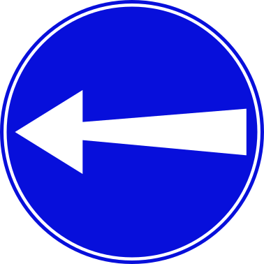 Mandatory turn leftCode 205Drivers must turn left.
 Mandatory turn left aheadCode 207Drivers must turn left at the junction ahead.
 Mandatory turn left or rightCode 208Drivers must turn either left or right — no straight-ahead movement permitted.
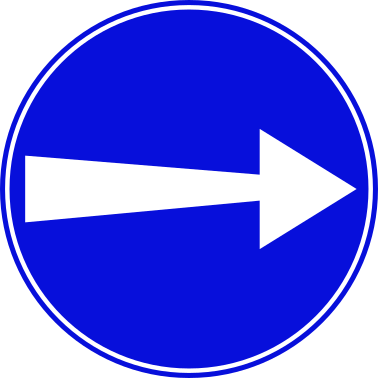 Mandatory turn rightCode 204Drivers must turn right.
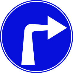 Mandatory turn right aheadCode 206Drivers must turn right at the junction ahead.
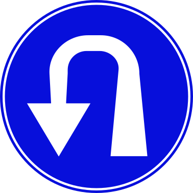 Mandatory u turn leftCode 212Drivers must make a U-turn to the left.
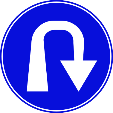 Mandatory u turn rightCode 211Drivers must make a U-turn to the right.
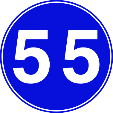 Minimum speed 55Code 218Minimum speed limit of 55 km/h — vehicles must not travel slower than this speed.
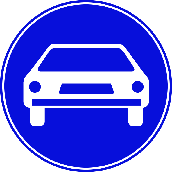 Motor vehicles onlyCode 219Road is reserved for motor vehicles only — non-motorised vehicles are prohibited.
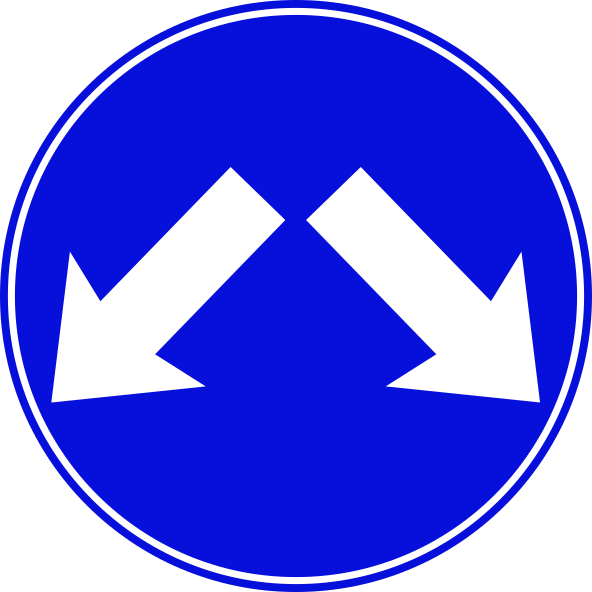 Pass either sideCode 213Drivers may pass the obstacle on either side.
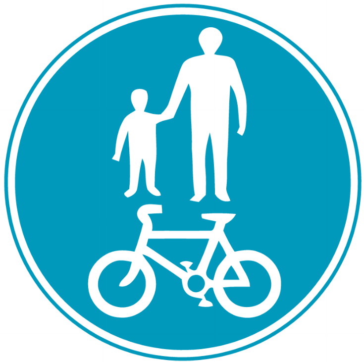 Pedestrians and bicycles zoneZone shared by pedestrians and cyclists; both are permitted and must share the path.
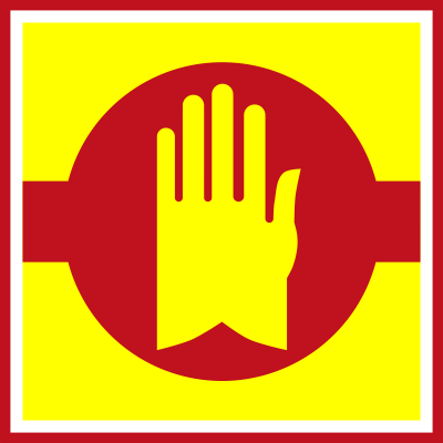 Stop checkpointCode 510All vehicles must stop at this point (police or security checkpoint).
 U turn left or straight aheadDrivers may make a U-turn to the left or continue straight ahead.
 U turn right or straight aheadDrivers may make a U-turn to the right or continue straight ahead.
Special regulation signs
28 signs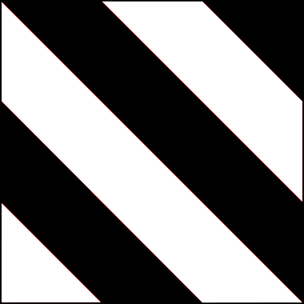 Delineator board black white stripes leftDelineator board with diagonal black and white stripes indicating an obstacle or road edge to be passed on the left.
 Delineator postCode 149Roadside delineator post marking the edge of the road or a hazard.
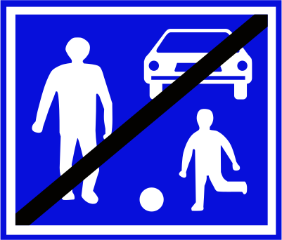 End shared zoneCode 221End of shared zone where pedestrians and vehicles share the same space.
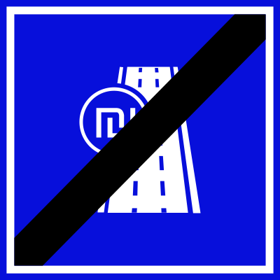 End toll roadCode 231aEnd of toll road.
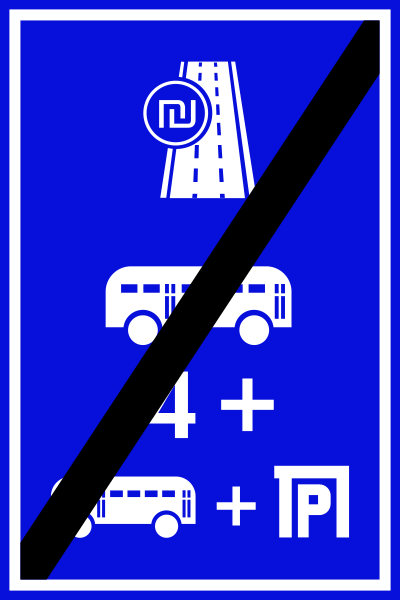 End toll road hovCode 231bEnd of toll-road HOV / bus section.
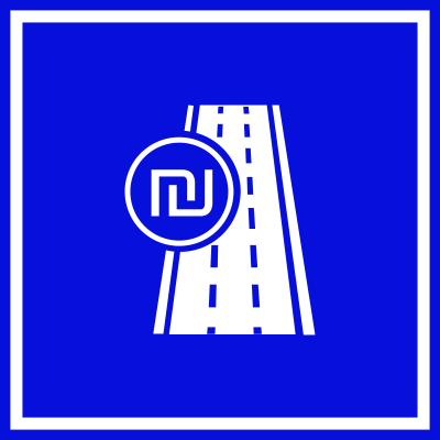 Toll roadCode 230aBegin toll road (requires payment — Israeli shekel symbol shown).
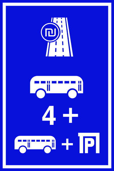 Toll road hovCode 230bToll road with HOV / bus lane — free for buses with 4+ passengers and minibuses; others pay.
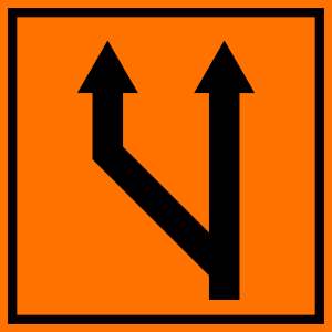 Lane merge left from two lanesCode 911Road works lane configuration: two lanes continue ahead with the left lane merging into the right.
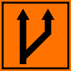 Lane merge right from two lanesCode 910Road works lane configuration: two lanes continue ahead with the right lane merging into the left.
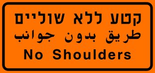 No shouldersCode 915cWarning: this road section has no shoulders (no road margin available for stopping).
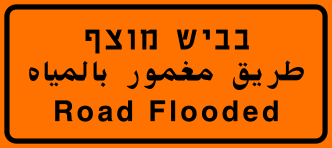 Road floodedCode 915dWarning: the road ahead is flooded.
 Roadworks diagonal stripe panelCode 929Road works hazard delineator panel with diagonal orange and black stripes used to mark obstructions.
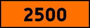 Roadworks distance 2500mCode 916Road works zone distance marker indicating 2500 metres (used as an advance distance panel).
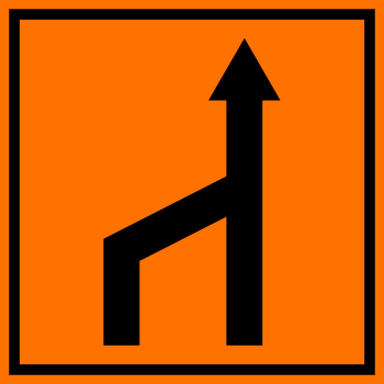 Roadworks exit leftCode 913Road works lane configuration: one lane continues ahead with an exit diverging to the left.
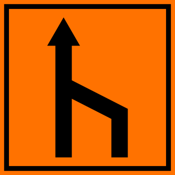 Roadworks exit rightCode 912Road works lane configuration: one lane continues ahead with an exit diverging to the right.
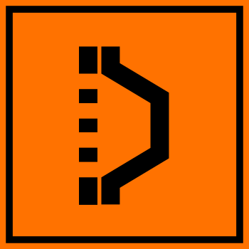 Roadworks lane channeliserCode 935Road works lane channeliser sign indicating a lane boundary or delineator directing traffic to the right.
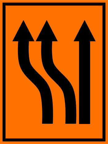 Roadworks three lanes shift leftCode 914aRoad works: three lanes shift to the left ahead.
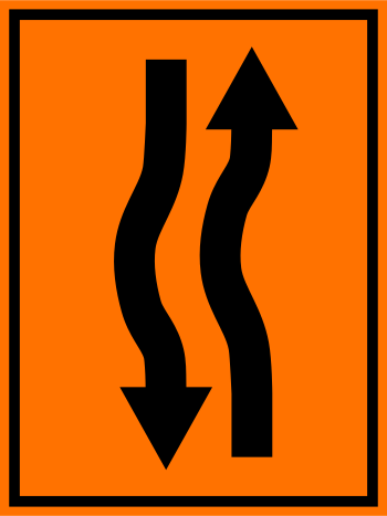 Roadworks two way lane shiftCode 914bRoad works: two-way traffic with lanes shifted; opposing traffic uses shifted lane configuration.
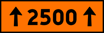 Roadworks zone length 2500mCode 917Road works zone length panel: the works zone extends for 2500 metres (arrows at both ends indicate zone span).
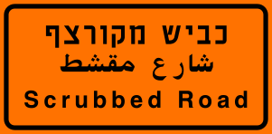 Scrubbed roadCode 915eWarning: the road surface has been scraped/scrubbed (rough surface condition ahead).
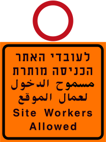 Site workers allowedCode 915kEntry is permitted for construction site workers only (used with a no-entry sign above).
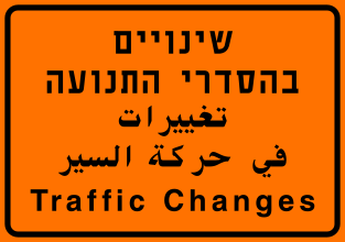 Traffic changesCode 915jWarning: traffic pattern changes ahead (road works affecting traffic flow).
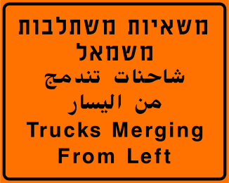 Trucks merging from leftCode 915bWarning: trucks are merging into traffic from the left side ahead.
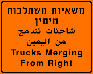 Trucks merging from rightCode 915aWarning: trucks are merging into traffic from the right side ahead.
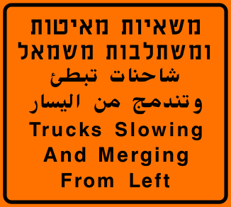 Trucks slowing and merging from leftCode 915hWarning: trucks are slowing and merging into traffic from the left ahead.
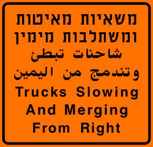 Trucks slowing and merging from rightCode 915iWarning: trucks are slowing and merging into traffic from the right ahead.
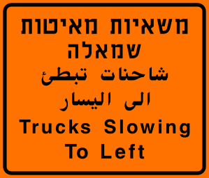 Trucks slowing to leftCode 915fWarning: slow-moving trucks are pulling to the left lane ahead.
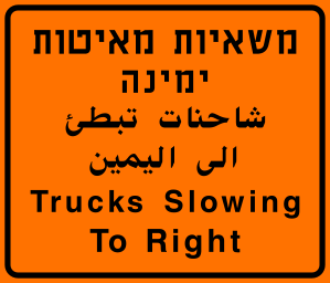 Trucks slowing to rightCode 915gWarning: slow-moving trucks are pulling to the right lane ahead.
Information signs
43 signs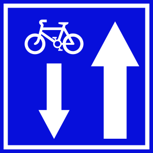 Bicycle contraflow laneCode 636Sign indicating a contraflow bicycle lane; cyclists travel in the opposite direction to motor traffic on a one-way street.
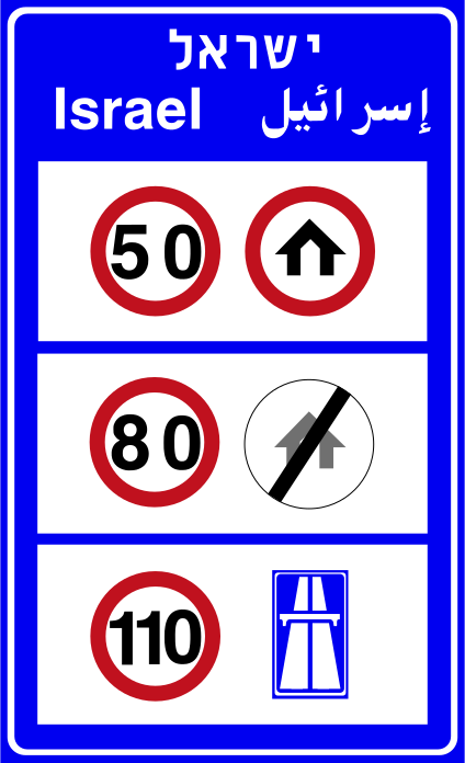 Border entry israelBorder entry panel for Israel showing the country name in Hebrew, Arabic, and English with speed limits (50, 80, 110 km/h) and applicable traffic rules.
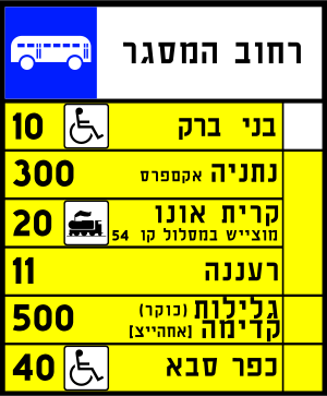 Bus route info panelCode 505Bus route information panel showing route numbers, destinations, and stops served.
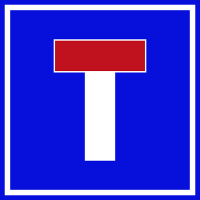 Dead end roadCode 623Dead-end road sign indicating the road ahead has no through route.
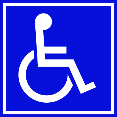 Disabled parkingCode 437Parking area reserved for vehicles displaying a valid disabled (handicapped) permit.
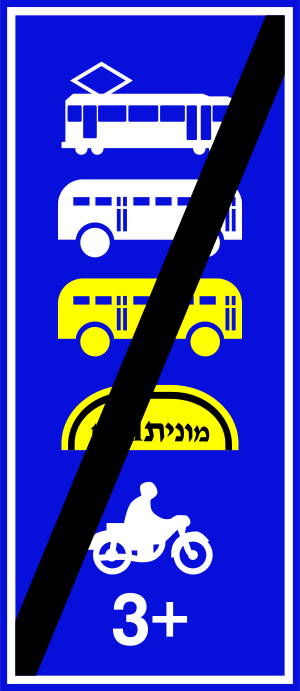 End hov laneCode 502End of the lane reserved for high-occupancy vehicles.
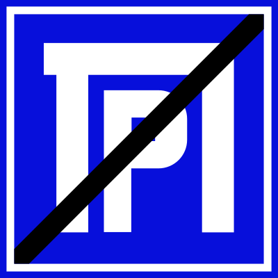 End of parking areaCode 628End of parking area sign indicating the parking zone ends here.
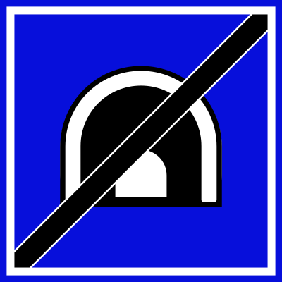 End of tunnelCode 634End-of-tunnel sign indicating the tunnel ends here.
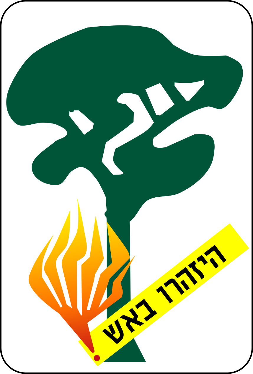 Fire hazard forestCode 635Forest fire hazard sign warning drivers to beware of fire risk in forested area, showing a tree with flames and a Hebrew/yellow warning banner.
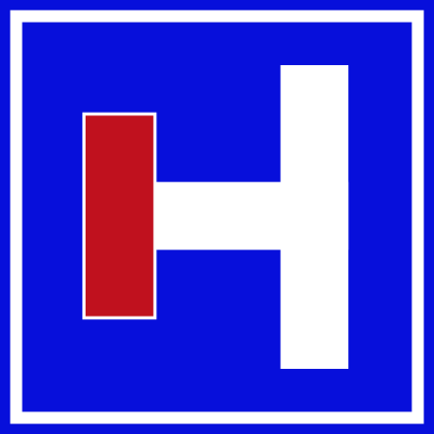 Hospital leftCode 625Hospital sign indicating a hospital is located to the left.
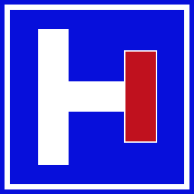 Hospital rightCode 624Hospital sign indicating a hospital is located to the right.
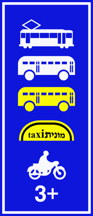 Hov lane permitted vehiclesCode 501Lane reserved for high-occupancy vehicles: trams, buses, minibuses (sherut taxis), motorcycles, and vehicles with 3 or more occupants.
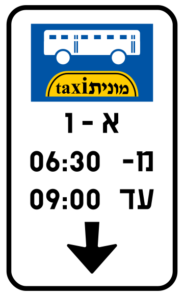 Information bus lineBus and shared-taxi (monit) line sign showing route number and operating hours.
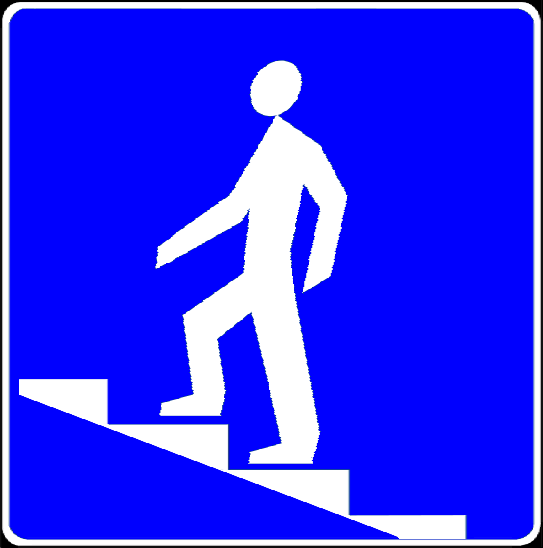 Information pedestrian bridgePedestrian underpass or overpass (footbridge) available here.
 Information toll roadToll road ahead — payment required to use this road (Israeli shekel symbol shown).
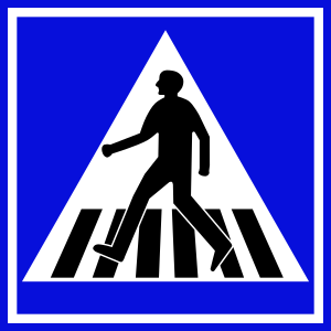 Pedestrian crossingCode 306Pedestrian crossing — drivers must yield to pedestrians on or waiting at this crossing.
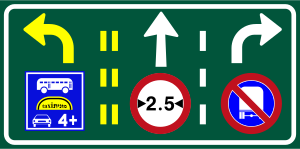 Lane control bus straight right with restrictionsCode 613cLane use sign showing left lane reserved for buses and carpools (4+ occupants), centre lane straight ahead with a 2.5 t weight limit, right lane turns right with no-stopping restriction.
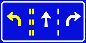 Lane control left straight rightCode 613bLane use sign indicating three lanes: left lane turns left, centre lane goes straight ahead, right lane turns right.
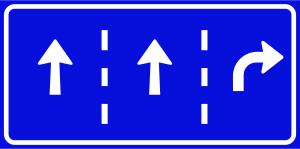 Lane control straight straight rightCode 613aLane use sign indicating three lanes: left and centre lanes go straight ahead, right lane turns right.
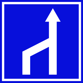 Lane left merge singleCode 622Lane configuration sign showing the left lane merging into a single continuing lane ahead.
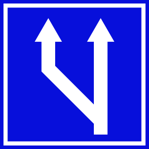 Lane merge left into twoCode 620Lane configuration sign showing a left-side lane merging into two continuing lanes ahead.
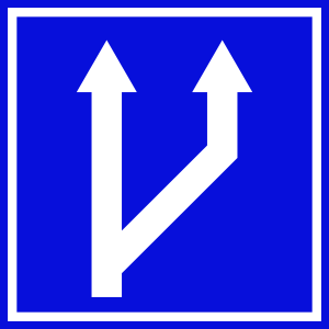 Lane merge right into twoCode 619Lane configuration sign showing a right-side lane merging into two continuing lanes ahead.
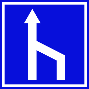 Lane right merge singleCode 621Lane configuration sign showing the right lane merging into a single continuing lane ahead.
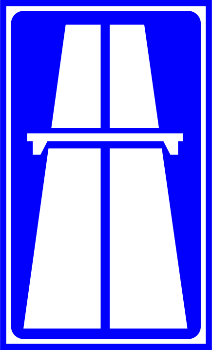 Motorway beginCode 216Start of a motorway (expressway) with full motorway regulations in effect.
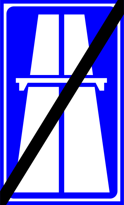 Motorway endCode 217End of motorway — motorway regulations no longer apply beyond this point.
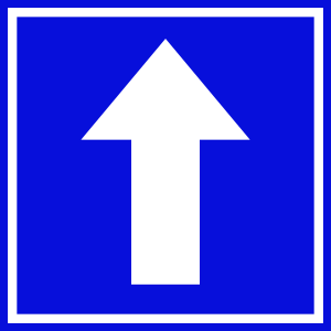 One way roadCode 618One-way road sign; traffic must proceed in the direction of the arrow (straight ahead).
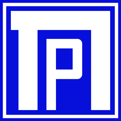 ParkingParking area: indicates a place where vehicles may park (Israeli parking sign with Hebrew letter Tet-Peh / 'P' symbol).
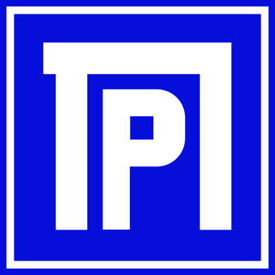 Parking areaCode 626Parking area sign indicating a public parking facility.
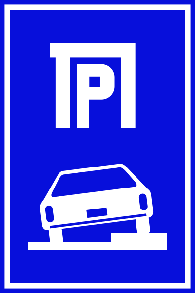 Parking area with carCode 627Parking area sign with a car pictogram indicating a vehicle parking facility.
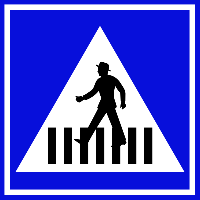 Pedestrian crossing indicationIndicates the location of a pedestrian crossing (zebra crossing marker sign).
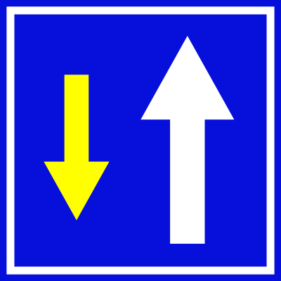 Priority road ahead bidirectionalCode 504Indicates a road with priority in both directions; oncoming traffic has equal right of way.
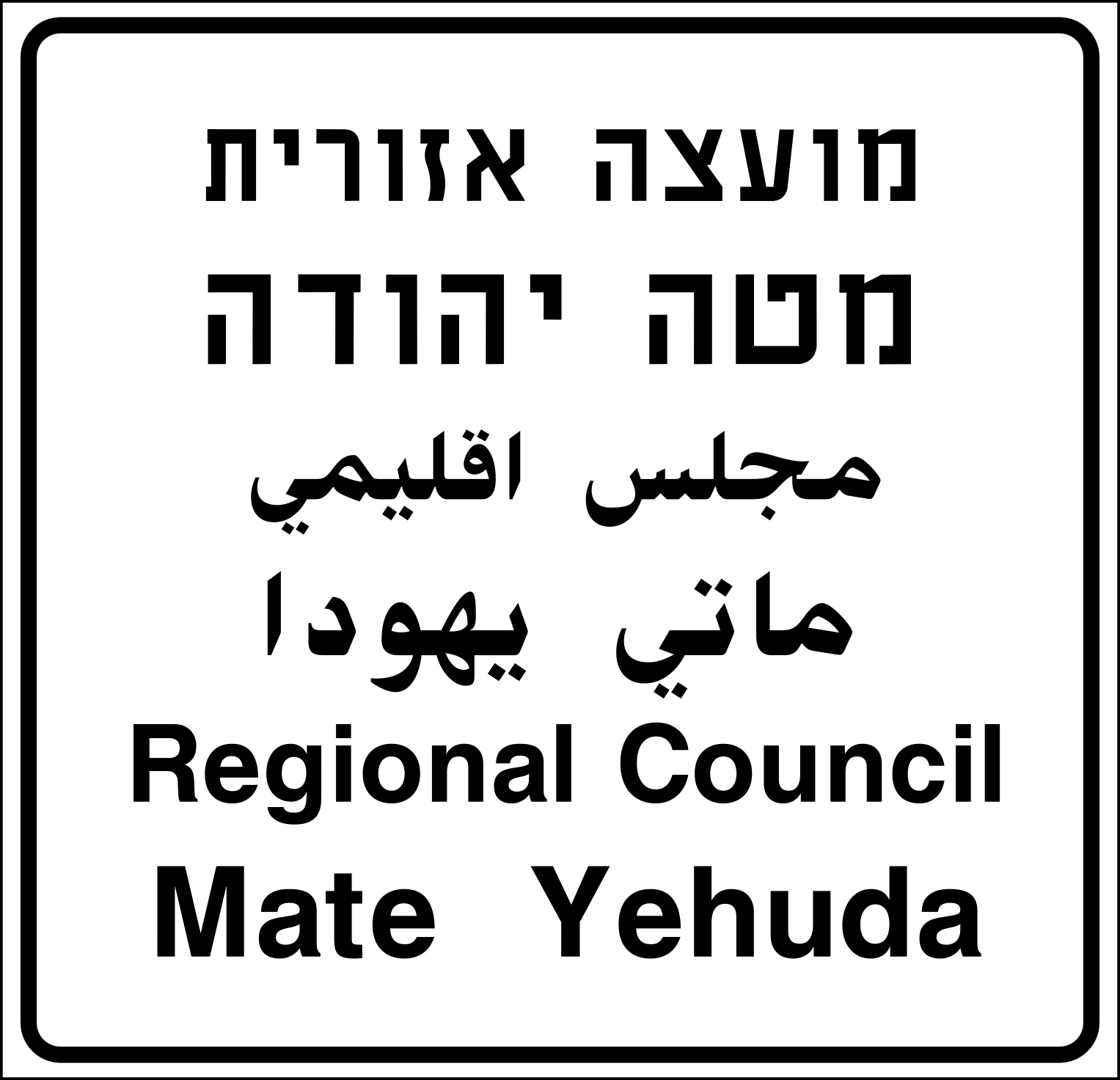 Regional council boundaryCode 601dMunicipal boundary sign indicating entry into the Mate Yehuda Regional Council area.
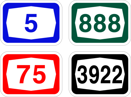 Road number shieldsCode 611Road number shield panel showing four route number styles: blue (motorway), green (national), red (regional) and black (local).
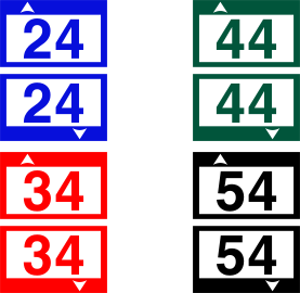 Route number marker variantsCode 612Route number markers with up/down arrows showing the numbering system for roads in different categories (motorway, national, regional and local).
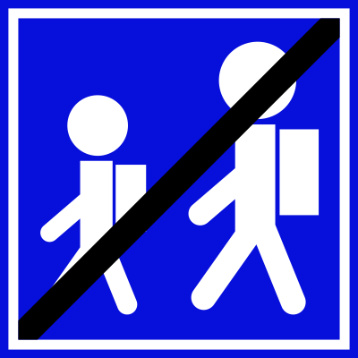 School zone endCode 640End of school zone sign indicating the school area ends here.
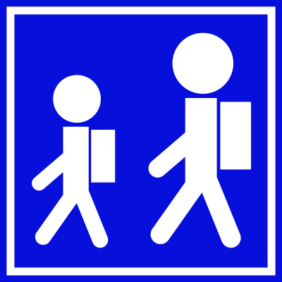 School zone startCode 639School zone sign indicating the beginning of a school area where children may be crossing.
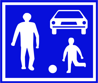 Shared zone pedestrians and vehiclesCode 220Shared zone where pedestrians (including children playing) and vehicles share the road under special rules.
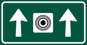 Speed camera aheadCode 616bAdvance warning sign indicating a speed camera is operating on this road, with two straight-ahead arrows flanking a camera symbol.
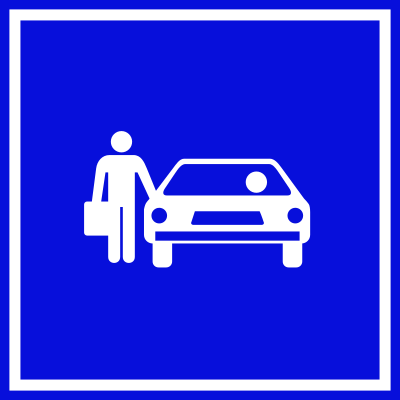 Taxi rankCode 638Taxi rank sign indicating a designated area where taxis wait for passengers.
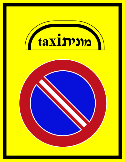 Taxi standCode 509Designated taxi (sherut/monit) stand — taxis may park and wait here.
 Toll roadIndicates the start of a toll road where a fee (shown by the shekel symbol) is charged for use.
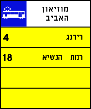 Tram route info panelCode 506Tram/light-rail route information panel showing route numbers and destinations served.
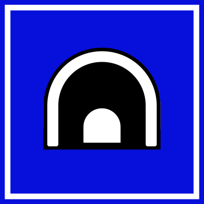 Tunnel aheadCode 633Tunnel sign indicating the start of a tunnel ahead.
Direction signs
33 signs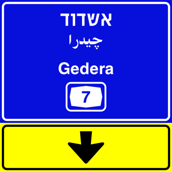 Direction ashdod gedera exitCode 607bExit direction sign for Ashdod and Gedera via road 7, with yellow panel indicating the exit below.
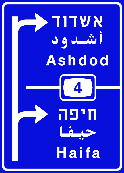 Direction ashdod haifa urbanCode 605bUrban direction sign on a blue background showing Ashdod and Haifa with road 4 and directional arrows.
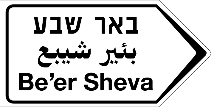 Direction beer sheva non urbanCode 617bNon-urban directional arrow sign pointing right to Be'er Sheva, with text in Hebrew, Arabic and English.
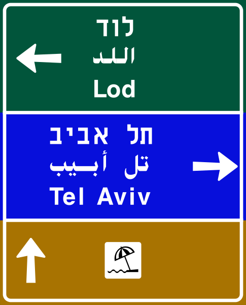 Direction lod tel avivCode 614bUrban direction sign indicating the route to Lod (left), Tel Aviv (right) and a straight-ahead service destination with beach symbol.
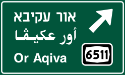 Direction or aqiva diagonalCode 606bDirection sign indicating Or Aqiva via road 6511, with a diagonal arrow pointing upper-right.
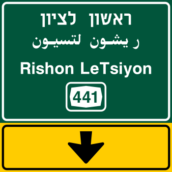 Direction rishon lezion exitCode 607aExit direction sign for Rishon LeTsiyon via road 441, with yellow panel indicating the exit below.
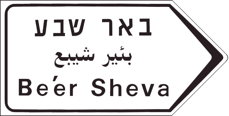 Direction sign beer shevaDirection sign pointing to Be'er Sheva, displayed in Hebrew, Arabic, and English.
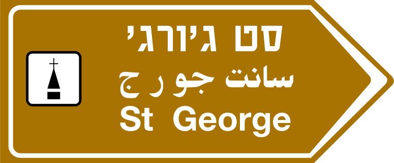 Direction st george touristCode 617cTourist/heritage directional arrow sign pointing right to St George, with a heritage site symbol and text in Hebrew, Arabic and English.
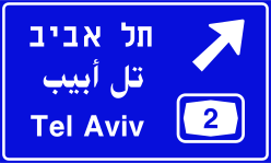 Direction tel aviv diagonalCode 606aDirection sign indicating Tel Aviv via road 2, with a diagonal arrow pointing upper-right.
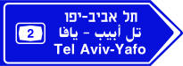 Direction tel aviv yafo road 2Code 617aDirectional arrow sign pointing right to Tel Aviv-Yafo via road number 2, with text in Hebrew, Arabic and English.
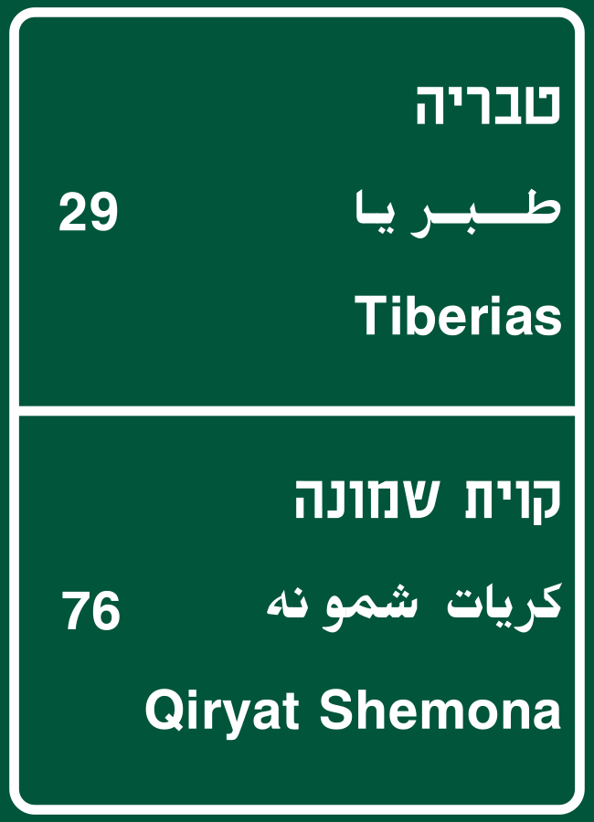 Direction tiberias qiryat shemonaCode 610bDirection sign on a non-urban road indicating routes to Tiberias (29) and Qiryat Shemona (76), with text in Hebrew, Arabic and English.
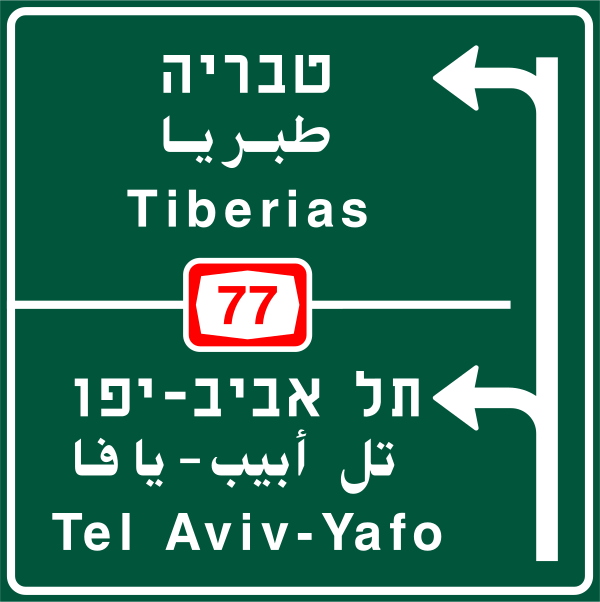 Direction tiberias tel avivCode 605aDirection sign at junction showing Tiberias to the upper left (road 77) and Tel Aviv-Yafo to the lower left (road 77).
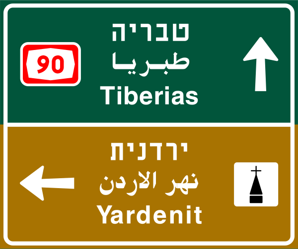 Direction tiberias yardenitCode 604b2Direction sign showing Tiberias ahead (road 90) and Yardenit (baptism site) to the left.
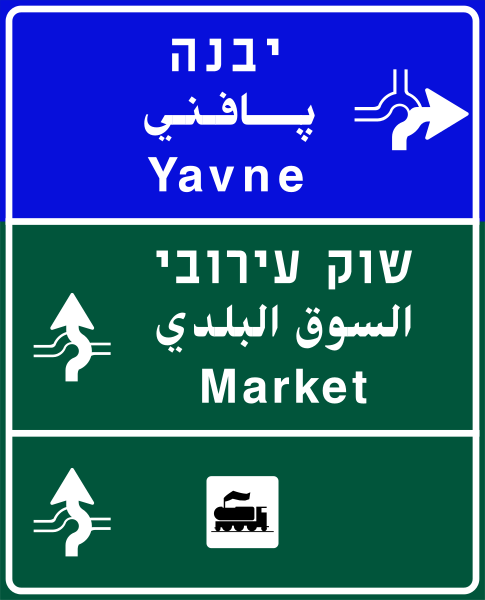 Direction yavne marketCode 614aUrban direction sign indicating the route to Yavne (right) and to the Market (straight ahead), with service/attraction symbols.
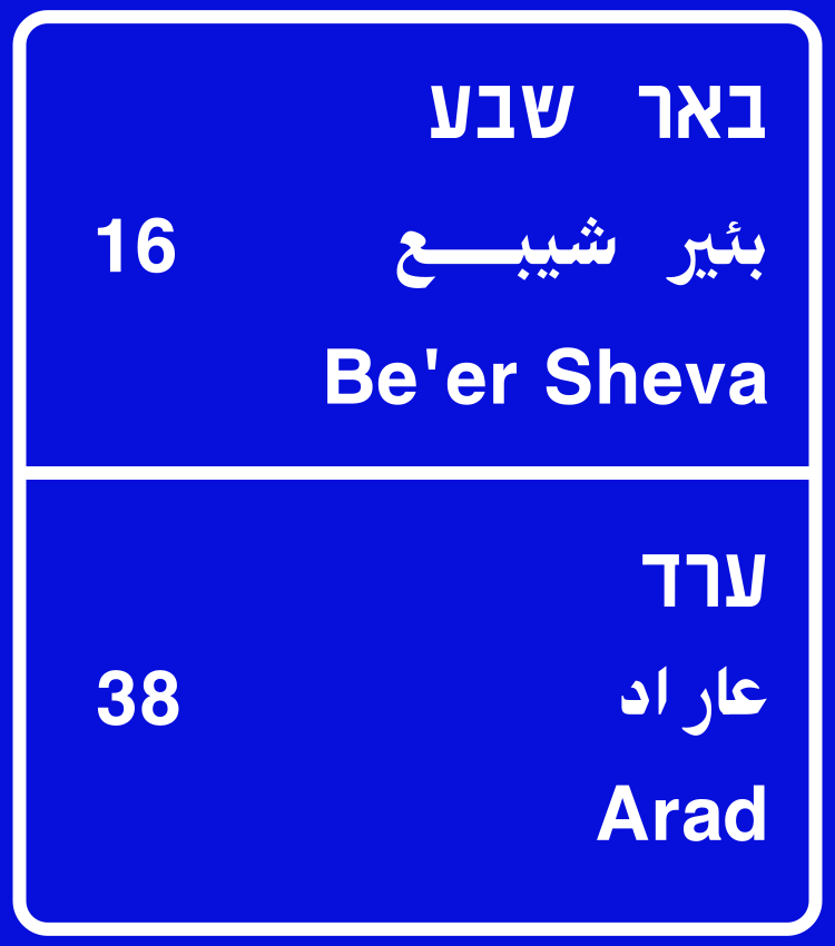 Distance panel beer sheva aradCode 610aDistance information panel showing Be'er Sheva is 16 km ahead and Arad is 38 km ahead.
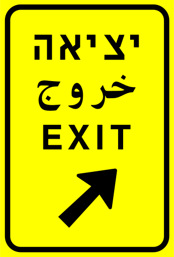 Exit signCode 608Exit sign indicating the exit point from the road ahead to the right.
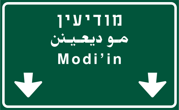 Exit sign modiin belowCode 615bOverhead exit direction sign with two downward arrows indicating exits to Modi'in.
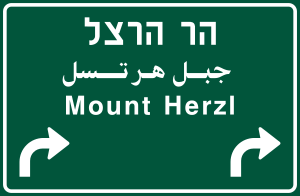 Exit sign mount herzl rightCode 616aDirection sign with two right-curve arrows indicating exits to Mount Herzl.
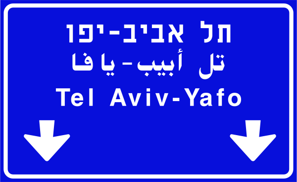 Exit sign tel aviv yafo belowCode 615aOverhead exit direction sign with two downward arrows indicating exits to Tel Aviv-Yafo.
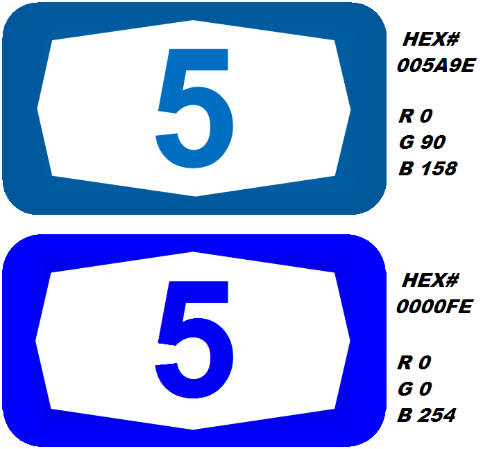 Direction highway route blueIsraeli highway (expressway) route number marker — blue background variant showing the octagonal badge shape used on Israeli route signs.
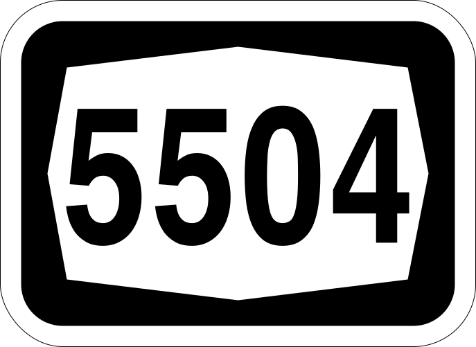 Direction route 5504Code 5504Israeli road route number 5504 marker sign.
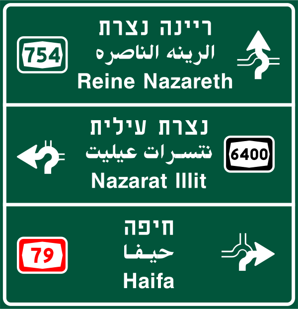 Interchange guide three exitsCode 604aAdvance interchange guide sign showing exits to Reine Nazareth (road 754), Nazarat Illit (road 6400), and Haifa (road 79) with directional arrows.
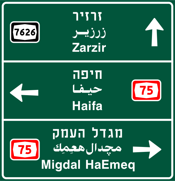 Interchange guide three roadsCode 604bAdvance interchange guide sign showing exits to Zarzir (road 7626), Haifa (road 75), and Migdal HaEmeq (road 75) with directional arrows.
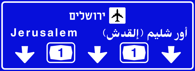 Junction direction airportCode 602bDirection sign showing Jerusalem with airport symbol ahead via Road 1 (in two directions).
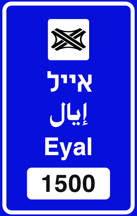 Junction direction blue townCode 601bAdvance direction sign on an urban road indicating a named town (Eyal) ahead, with the railway-crossing or interchange symbol and distance 1500 m.
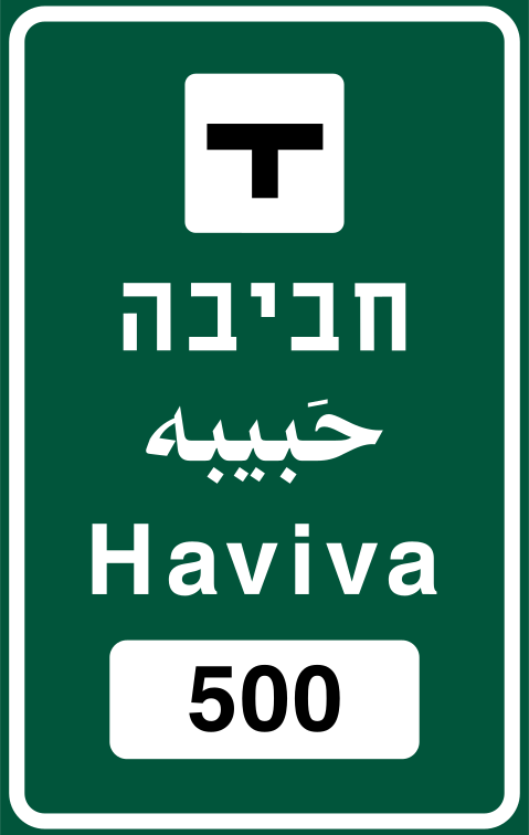 Junction direction green townCode 601aAdvance direction sign on an interurban road indicating a named town (Haviva) ahead, with the interchange/junction symbol and distance 500 m.
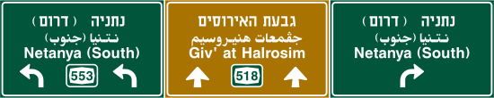 Junction direction three destinationsCode 603Multi-destination direction sign at interchange showing routes to Netanya, Giv'at HaRosim, and Netanya South on roads 532 and 519.
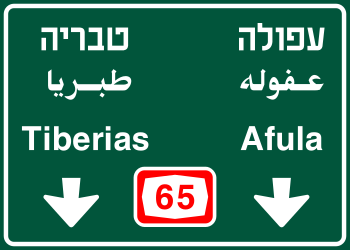 Junction direction two townsCode 602aDirection sign at a junction showing two destinations (Tiberias and Afula) both ahead with road number 65.
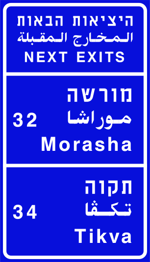 Next exits morasha tikvaCode 609bAdvance sign showing the next exits: Morasha (exit 32) and Tikva (exit 34).
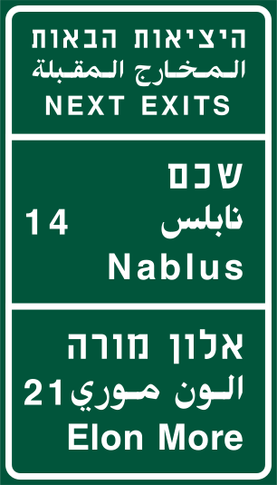 Next exits nablus elon moreCode 609aAdvance sign showing the next exits: Nablus (exit 14) and Elon More (exit 21).
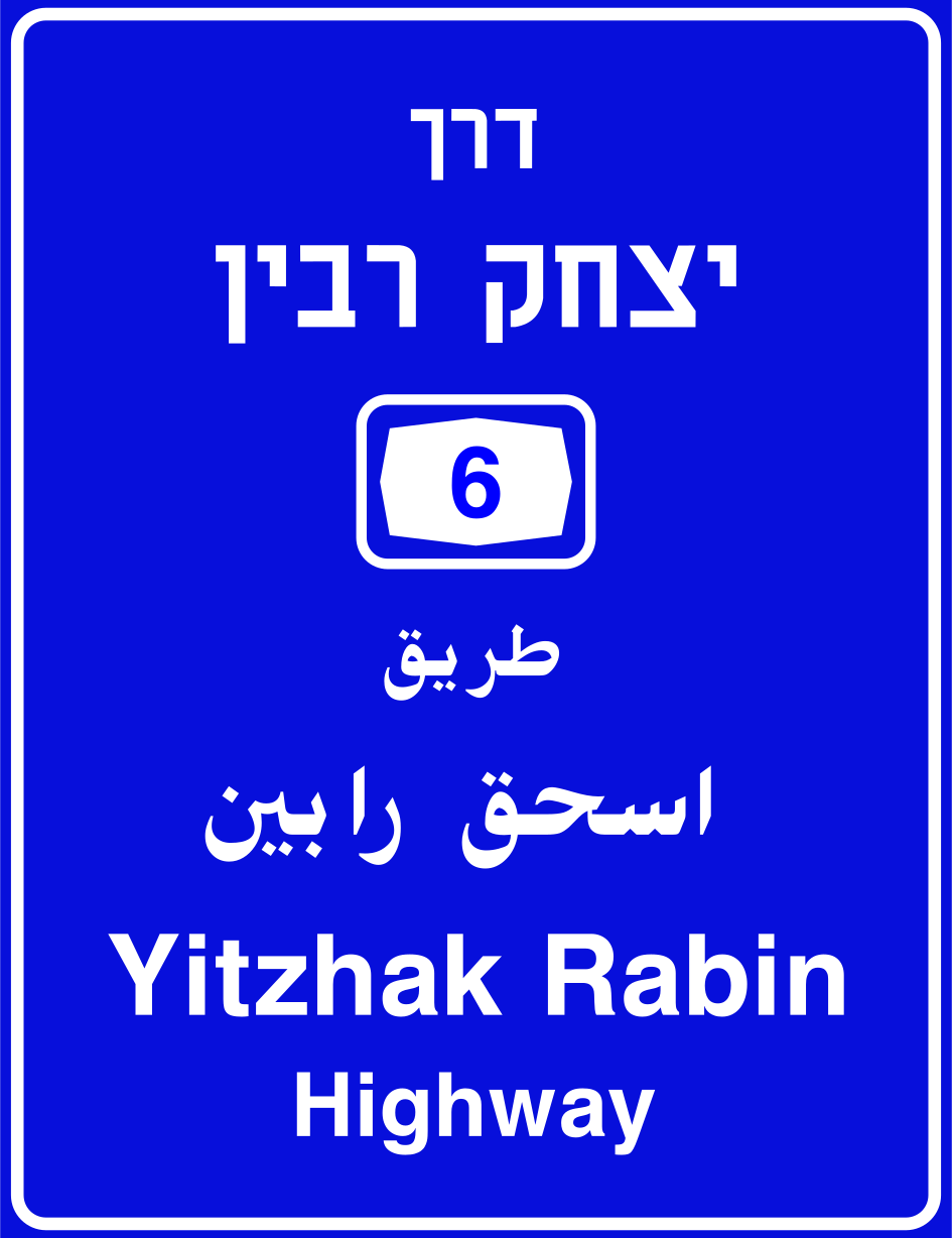 Road name yitzhak rabin highwayCode 601cRoad name sign identifying the route as Yitzhak Rabin Highway (Road 6).
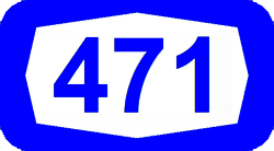 Route number 471 blueRoute marker for Israeli national road number 471 (blue shield indicates an inter-urban route).
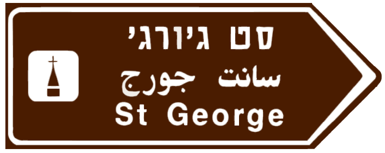 Tourist landmark st georgeBrown tourist direction sign pointing to St George (landmark/religious site), with church icon, in Hebrew, Arabic, and English.
Additional panels
16 signs Panel chevron leftDelineator chevron panel indicating a bend to the left.
 Panel chevron rightDelineator chevron panel indicating a bend to the right.
 Panel delineator chevron leftCode 107Supplementary delineator board with left-pointing chevrons indicating road bends to the left.
 Panel delineator chevron rightCode 108Supplementary delineator board with right-pointing chevrons indicating road bends to the right.
 Panel delineator diamondCode 118Supplementary delineator panel with diamond and chevron arrows indicating an obstacle to pass on both sides.
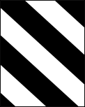 Panel diagonal stripes leftCode 112LObstacle/hazard delineator board with diagonal stripes — left-hand variant directing traffic to the right.
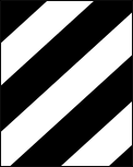 Panel diagonal stripes rightCode 112RObstacle/hazard delineator board with diagonal stripes — right-hand variant directing traffic to the left.
 Panel rumble stripsCode 113Supplementary panel indicating rumble strips or a series of transverse markings ahead.
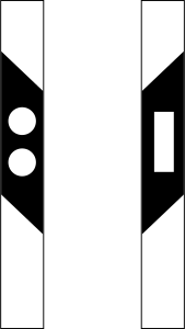 Road narrows both sides panelCode 148Supplementary panel indicating the road narrows from both sides ahead.
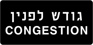 Supplementary congestionCode 629pSupplementary panel reading 'Congestion' in Hebrew and English, indicating traffic congestion ahead.
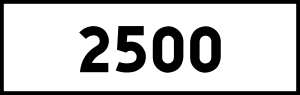 Supplementary distance 2500Code 630Supplementary panel showing '2500' indicating a distance of 2,500 metres to a feature ahead.
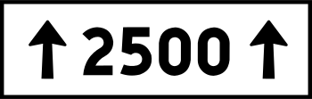 Supplementary distance 2500 arrowsCode 631Supplementary panel showing '2500' flanked by upward arrows indicating a distance of 2,500 metres applies in the forward direction.
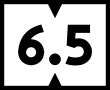 Supplementary distance 6 5Code 629cSupplementary distance panel showing 6.5 (km) with notched top and bottom indicating the distance to a feature.
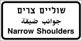 Supplementary narrow shouldersCode 629aSupplementary panel reading 'Narrow Shoulders' warning drivers that road shoulders are narrow.
 Supplementary turn rightCode 632Supplementary arrow panel indicating a turn to the right.
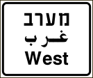 Supplementary westCode 629bSupplementary cardinal direction panel reading 'West' in Hebrew, Arabic and English.
Ready for your Israel theory test?
Signs are only part of the exam. Practice full Israel mock tests and see which topics you still get wrong.