
Road signs in Norway
All 179 road signs used in Norway, grouped by type, with what each one means.
Free to browse, no sign-up required. Every sign with its shape, colors, and meaning.
Every sign in Norway
Norway follows the Vienna Convention, so its signs match most of Europe.
Warning signs
42 signs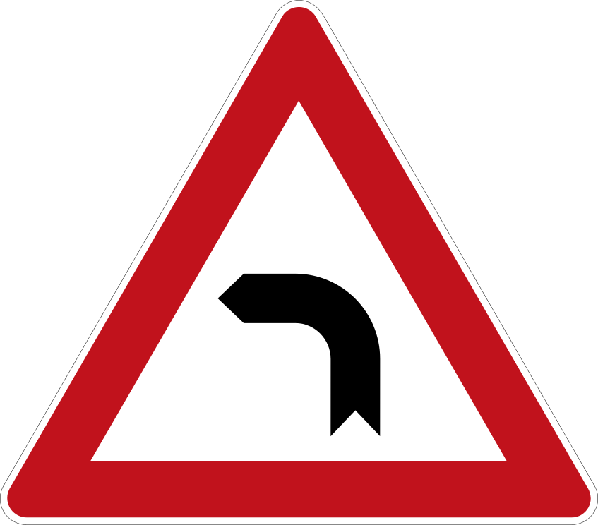 Bend leftCode A,1bWarns that there is a single sharp bend or curve in the road ahead, curving to the left.
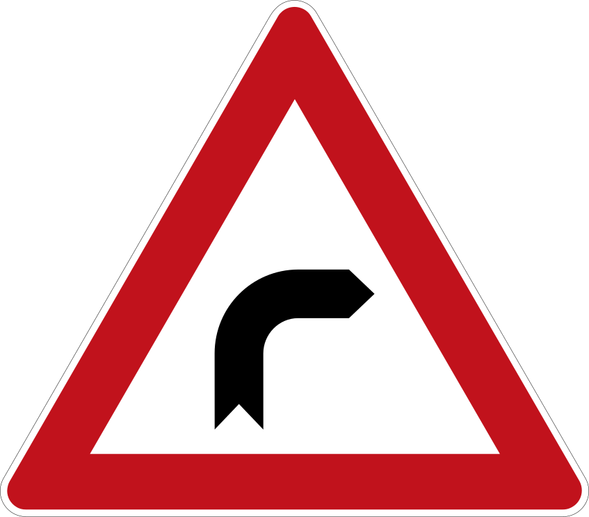 Bend rightCode A,1aWarns that there is a single sharp bend or curve in the road ahead, curving to the right.
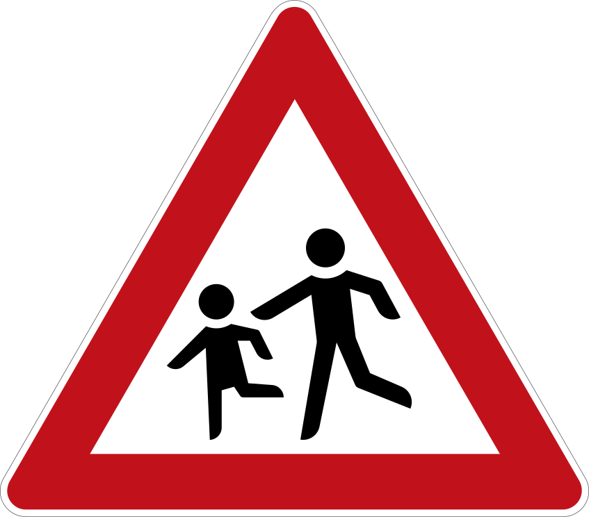 ChildrenCode A,13Warns of an area frequented by children, such as a school, playground or residential zone.
 Crossroads equal priorityCode A,18aWarns of an intersection ahead where the give-way-to-the-right (or other general) priority rule applies.
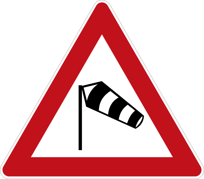 CrosswindCode A,31Warns that the road ahead is subject to strong crosswinds or sudden gusts.
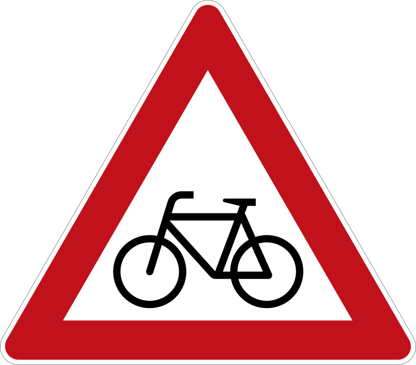 CyclistsCode A,14Warns of a point where cyclists frequently cross or enter the road, or where a cycle path crosses.
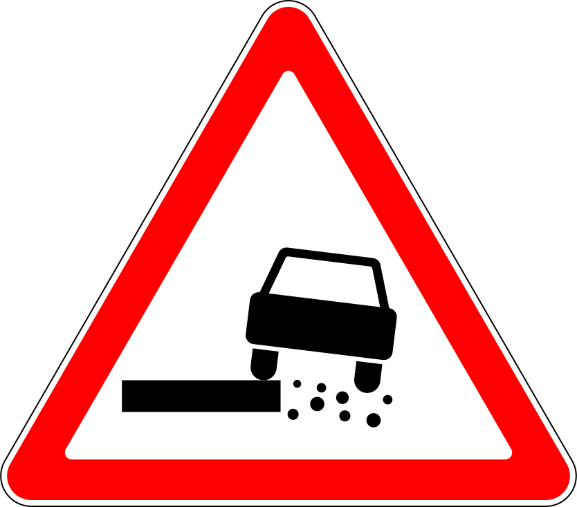 Dangerous shoulderCode A,8Warns that the soft or weak verge/shoulder of the road is dangerous to drive onto.
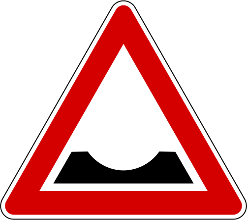 DipCode A,7cWarns of a dip, depression or sudden drop in the road surface ahead.
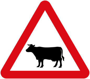 Domestic animalsCode A,15aWarns of the possible presence of domestic animals (cattle, livestock) on the road ahead.
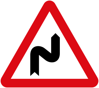 Double bend left firstCode A,1dWarns of a double bend (a series of two or more bends ahead), the first of which curves to the left.
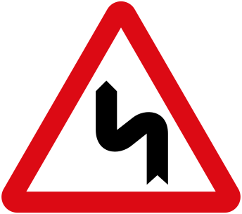 Double bend right firstCode A,1cWarns of a double bend (a series of two or more bends ahead), the first of which curves to the right.
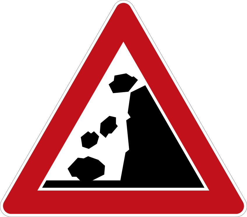 Falling rocksCode A,11Warns of the danger of falling or fallen rocks and resulting debris on the carriageway.
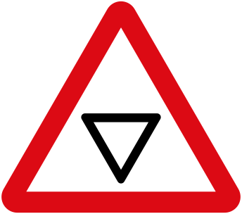 Give way aheadCode A,20Advance warning that a Give Way (yield) sign is located on the road ahead.
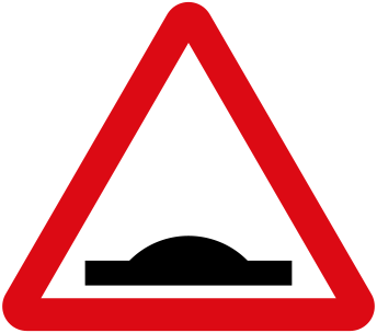 Hump bumpCode A,7bWarns of a sharp rise, ridge, hump or speed-regulating bump (speed table) in the road ahead.
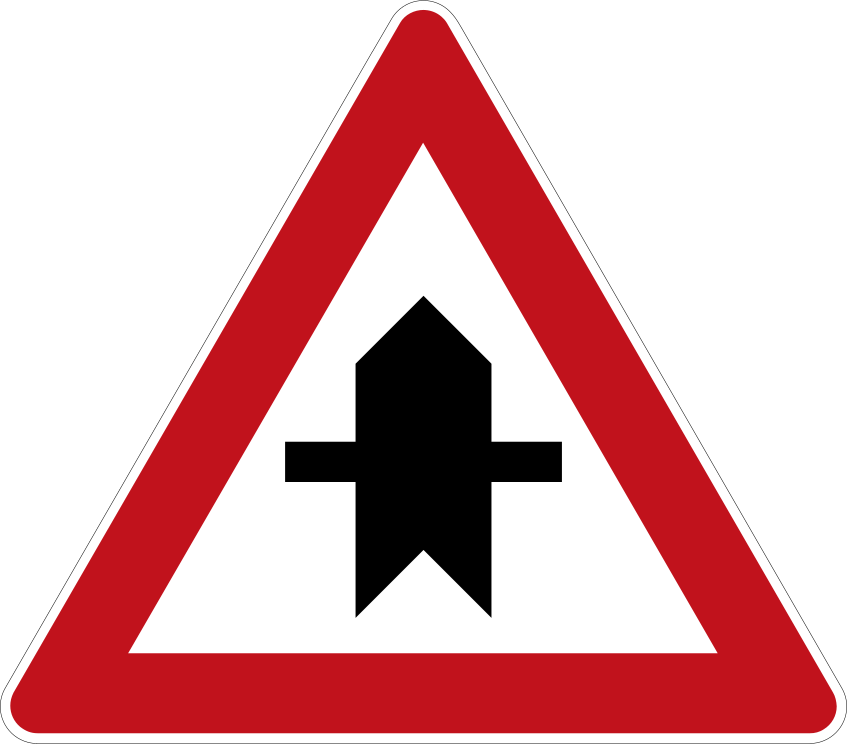 Intersection with non priority roadCode A,19Warns that the road ahead is a priority road and crosses a minor road whose traffic must give way.
 Level crossing countdown markersCode A,29Distance countdown panels placed in series before a railway level crossing, indicating the approach distance.
 Level crossing marker multiple tracksCode A,28bMarks the exact location of a railway level crossing with two or more tracks (doubled St Andrew's cross).
 Level crossing marker single trackCode A,28aMarks the exact location of a railway level crossing with a single track (St Andrew's cross).
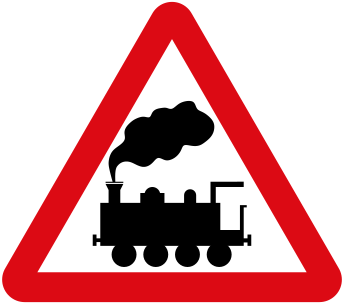 Level crossing no barriersCode A,26Warns of a railway level crossing ahead that is not protected by gates or barriers.
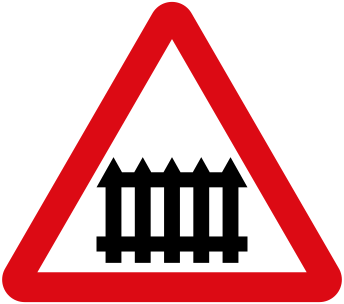 Level crossing with barriersCode A,25Warns of a railway level crossing ahead that is protected by gates or barriers.
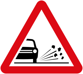 Loose chippings gravelCode A,10Warns of loose gravel or chippings on the road that may be thrown up by vehicles.
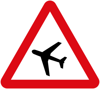 Low flying aircraftCode A,30Warns that the road ahead is near an airfield where aircraft may fly low overhead, so drivers should not be alarmed.
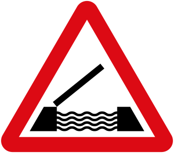 Opening bridgeCode A,5Warns of a movable or opening (swing/bascule) bridge ahead that may interrupt traffic.
 Other dangerCode A,32Warns of a danger ahead for which no specific symbolic warning sign exists.
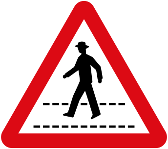 Pedestrian crossing aheadCode A,12Warns of a pedestrian crossing ahead where pedestrians have priority.
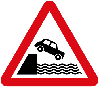 Road leads to quayCode A,6Warns that the road leads onto an unprotected quay, riverbank or ferry berth where the vehicle could enter water.
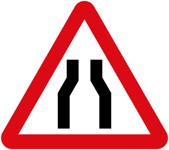 Road narrows both sidesCode A,4aWarns that the carriageway ahead narrows on both sides, reducing the available road width.
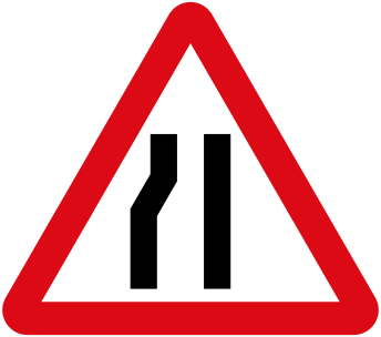 Road narrows one sideCode A,4bWarns that the carriageway ahead narrows on one side only.
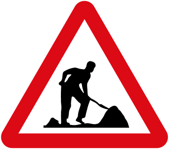 RoadworksCode A,16Warns of road works or construction ahead, with workers and equipment possibly on the carriageway.
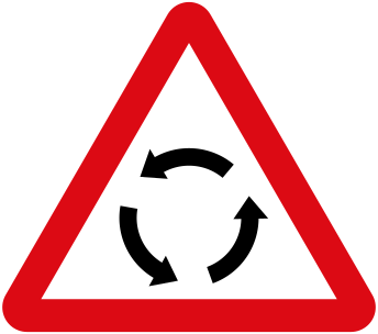 Roundabout aheadCode A,22Warns that there is a roundabout ahead where all traffic circulates in one direction around a central island.
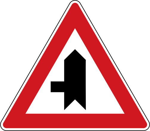 Side road junction leftCode A,18cWarns of a side-road junction ahead where a minor road joins from the left, with general priority rules applying.
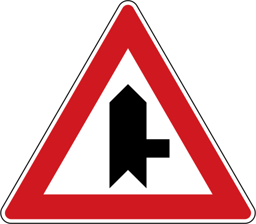 Side road junction rightCode A,18bWarns of a side-road junction ahead where a minor road joins from the right, with general priority rules applying.
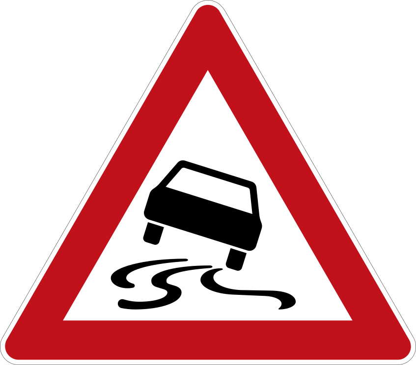 Slippery roadCode A,9Warns that the road ahead is, or may become, slippery (ice, mud, water or loose surface) and traction is reduced.
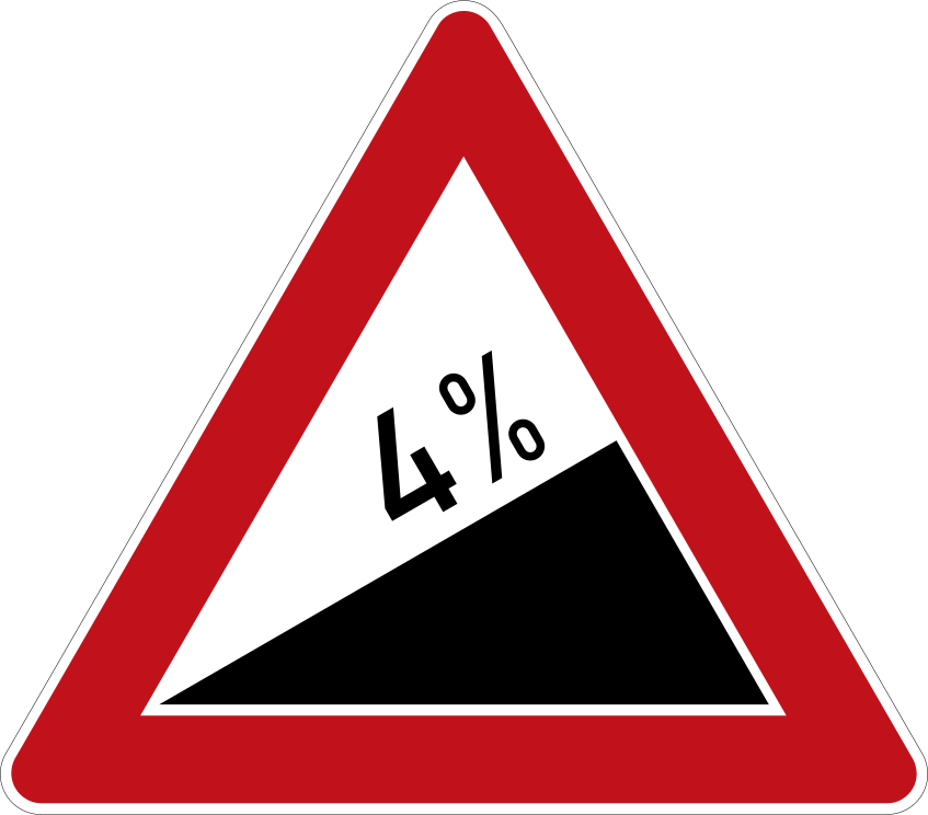 Steep ascentCode A,3Warns of a steep uphill gradient ahead; the gradient figure indicates how steep the ascent is.
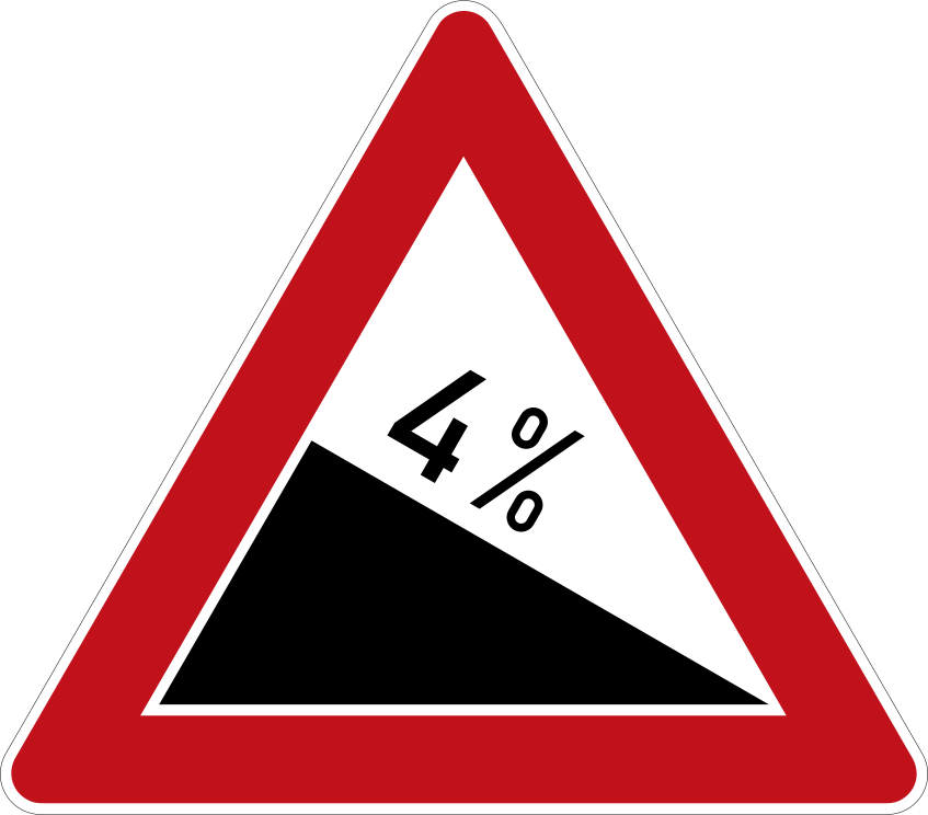 Steep descentCode A,2Warns of a steep downhill gradient ahead; the gradient figure indicates how steep the descent is.
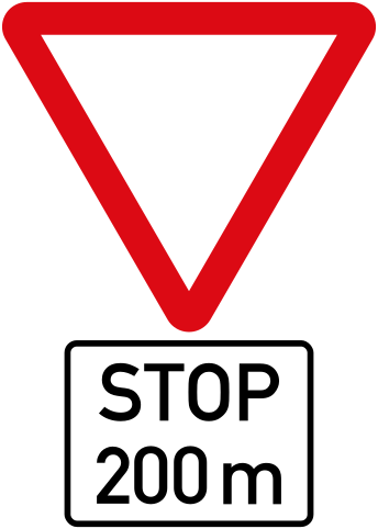 Stop aheadCode A,21Advance warning that a compulsory STOP sign is located on the road ahead.
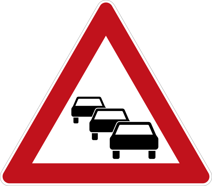 Traffic congestionCode A,24Warns of likely traffic congestion or queues (tailbacks) on the road ahead.
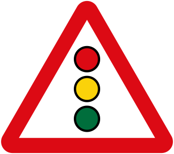 Traffic signals aheadCode A,17Warns that traffic ahead is controlled by traffic light signals.
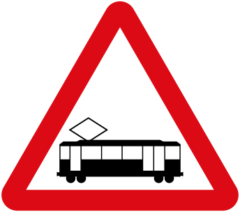 Tramway crossingCode A,27Warns that a tramway (streetcar line) crosses or shares the road ahead.
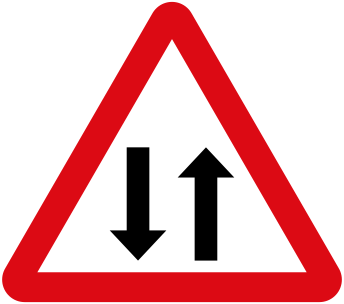 Two way trafficCode A,23Warns that the road ahead carries undivided two-way traffic, often after a dual carriageway or one-way section ends.
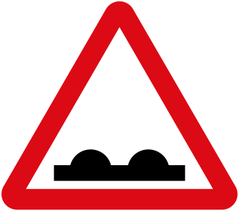 Uneven roadCode A,7aWarns of a stretch of road in poor condition with bumps, dips, ridges or other surface deformities.
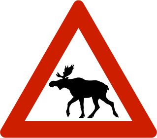 Wild animalsCode A,15bWarns of the possible presence of wild animals crossing the road ahead.
Priority signs
8 signs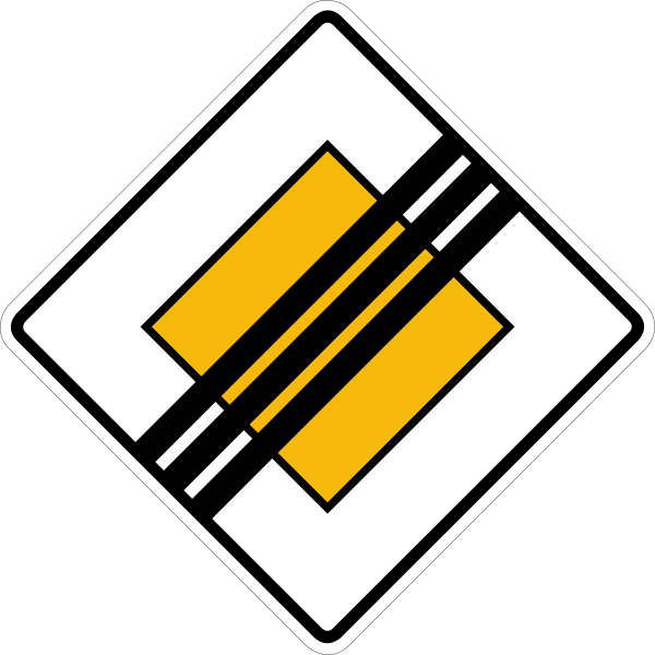 End of priority roadCode B,4The priority road ends here; normal priority rules (or signed priority) apply at intersections from this point on.
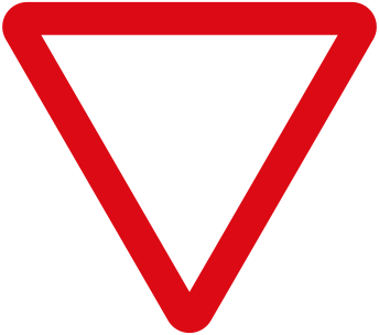 Give wayCode B,1Give way (yield) to traffic on the road you are about to enter or cross; you need not stop if the way is clear.
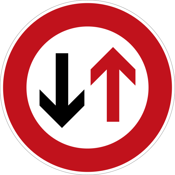 Priority for oncoming trafficCode B,5Give way to oncoming traffic in the narrow section ahead; do not enter until you can pass without forcing oncoming vehicles to stop.
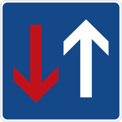 Priority over oncoming trafficCode B,6You have priority over oncoming traffic in the narrow section ahead; oncoming vehicles must give way to you.
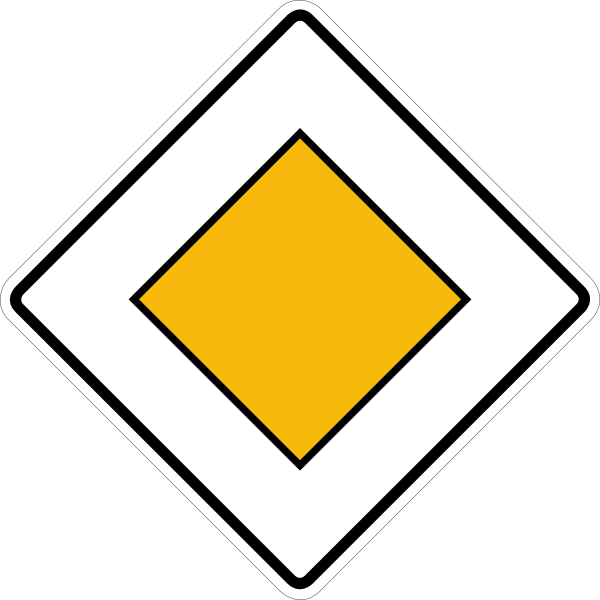 Priority roadCode B,3You are on a priority road and have right of way at the intersections ahead until the priority is cancelled.
 StopCode B,2aStop completely at the marked line (or before entering the intersection) and give way to all traffic before proceeding.
 Stop alternativeCode B,2bStop completely and give way to all traffic before proceeding — alternative model of the STOP sign.
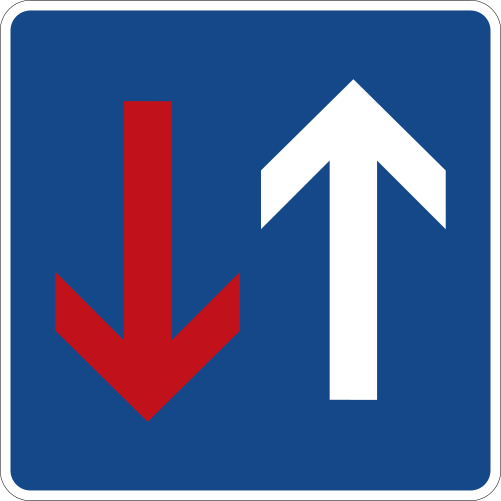 Priority over oncomingCode B,6On a narrow stretch, the driver facing this sign has priority over oncoming traffic.
Prohibition signs
52 signs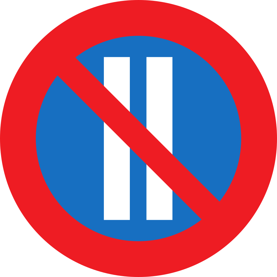 Alternate parking even datesCode C,20bParking on this side is prohibited on even-numbered dates of the month (alternate-side parking scheme).
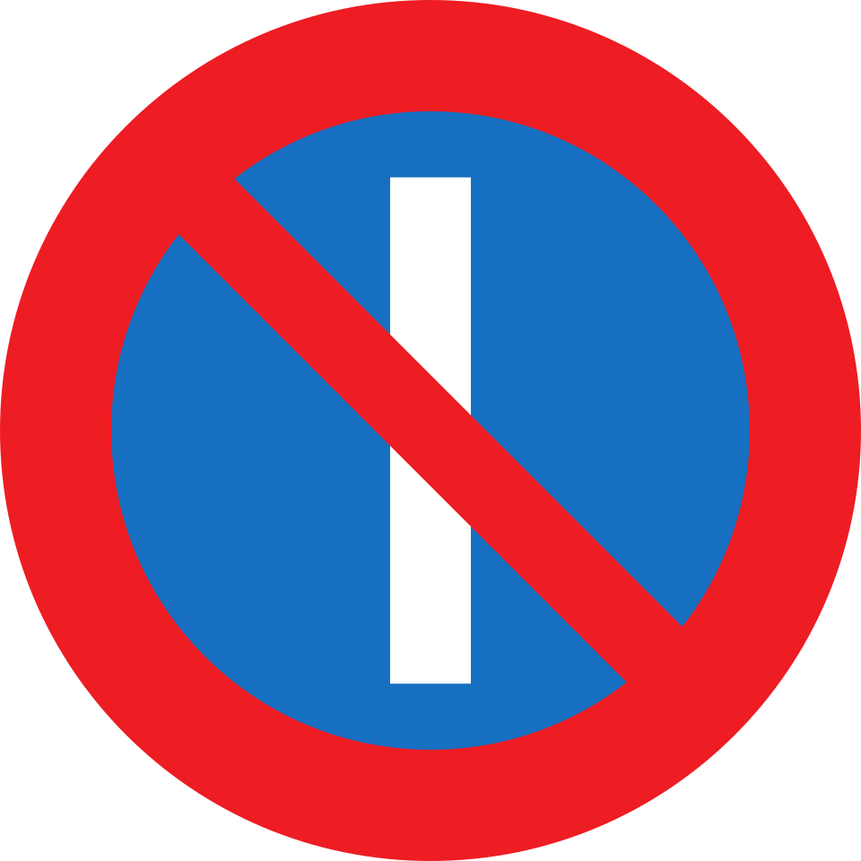 Alternate parking odd datesCode C,20aParking on this side is prohibited on odd-numbered dates of the month (alternate-side parking scheme).
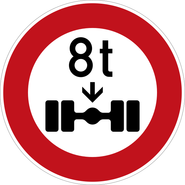 Axle weight limitCode C,8No entry for vehicles with a mass on any one axle exceeding the indicated figure in tonnes.
 Closed to all vehicles both directionsCode C,2The road is closed to all vehicles in both directions of travel.
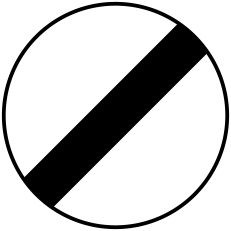 End of all restrictionsCode C,17aEnd of all local prohibitions imposed on moving vehicles by previous prohibitory signs.
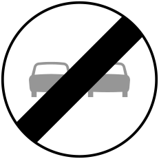 End of no overtakingCode C,17cEnd of the prohibition of overtaking.
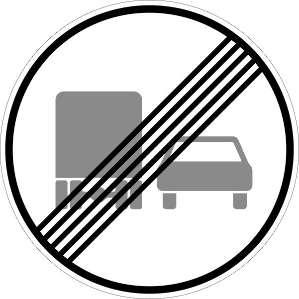 End of no overtaking by goods vehiclesCode C,17dEnd of the prohibition of overtaking for goods vehicles.
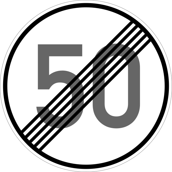 End of speed limitCode C,17bEnd of the speed limit previously imposed.
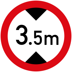 Height limitCode C,6No entry for vehicles higher than the indicated overall height (including load).
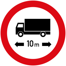 Length limitCode C,9No entry for vehicles or vehicle combinations exceeding the indicated overall length in metres.
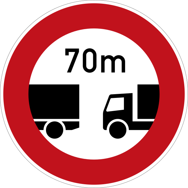 Minimum distance between vehiclesCode C,10Driving of vehicles less than the indicated distance apart is prohibited; keep at least that gap to the vehicle ahead.
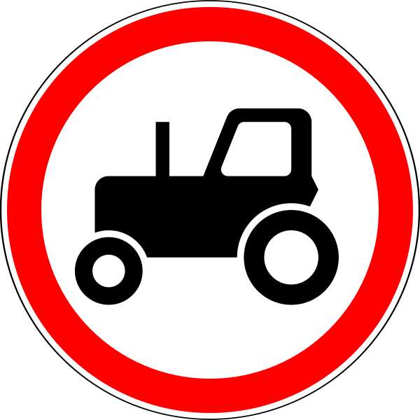 No agricultural vehiclesCode C,3lNo entry for power-driven agricultural vehicles.
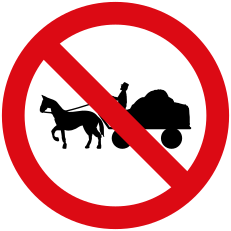 No animal drawn vehiclesCode C,3jNo entry for animal-drawn vehicles.
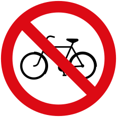 No bicyclesCode C,3cNo entry for cycles (bicycles).
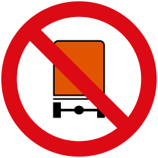 No dangerous goods vehiclesCode C,3hNo entry for vehicles carrying dangerous goods for which special hazard plating is prescribed.
 No entryCode C,1Entry is prohibited to all vehicles; do not drive past this sign.
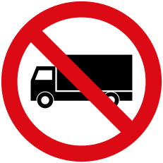 No goods vehiclesCode C,3eNo entry for goods vehicles (trucks); when a tonnage figure is shown, the ban applies only to goods vehicles exceeding that laden mass.
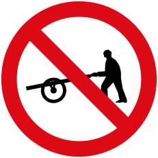 No handcartsCode C,3kNo entry for handcarts.
 No hornCode C,15Use of audible warning devices (the horn) is prohibited except to avoid an accident.
 No left turnCode C,11aTurning left is prohibited at the next intersection.
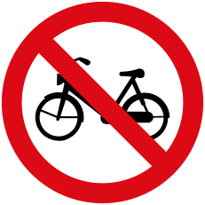 No mopedsCode C,3dNo entry for mopeds.
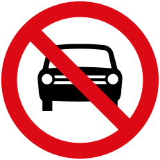 No motor vehiclesCode C,3aNo entry for power-driven vehicles except two-wheeled motorcycles without a sidecar.
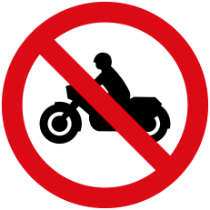 No motorcyclesCode C,3bNo entry for motorcycles.
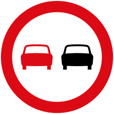 No overtakingCode C,13aOvertaking of moving motor vehicles (other than two-wheelers) is prohibited.
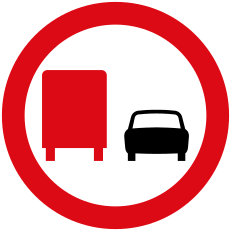 No overtaking by goods vehiclesCode C,13bOvertaking by goods vehicles (above a stated mass) is prohibited.
 No parkingCode C,18Parking is prohibited; brief stops to set down or pick up passengers or goods remain allowed.
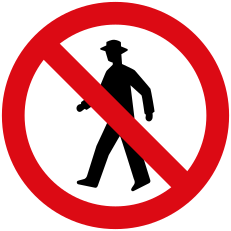 No pedestriansCode C,3iNo entry for pedestrians.
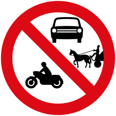 No power driven or animal drawn vehiclesCode C,4bNo entry for power-driven vehicles together with animal-drawn vehicles.
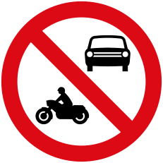 No power driven vehicles combinedCode C,4aNo entry for several specified categories of power-driven vehicle shown together on one sign.
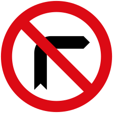 No right turnCode C,11bTurning right is prohibited at the next intersection.
 No stoppingCode C,19Standing and stopping are prohibited — you may neither stop nor park, except as forced by traffic conditions.
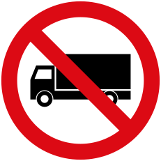 No trucks over weightCode C,3eNo entry for goods vehicles exceeding the laden mass shown on the lorry symbol.
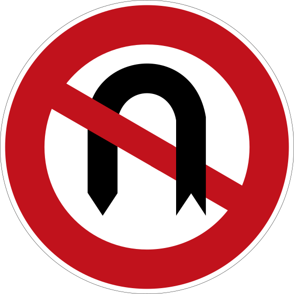 No u turnCode C,12U-turns (turning to reverse direction) are prohibited.
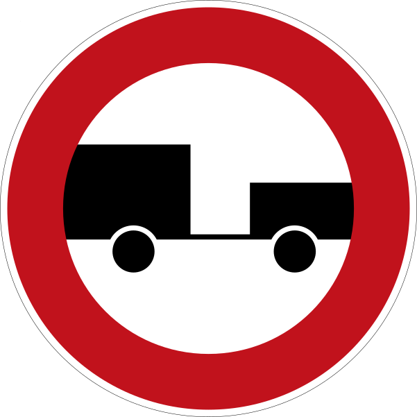 No vehicles with trailerCode C,3gNo entry for any power-driven vehicle drawing a trailer.
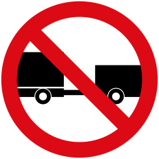 No vehicles with trailer restrictedCode C,3fNo entry for any power-driven vehicle drawing a trailer, other than a semi-trailer or a single-axle trailer.
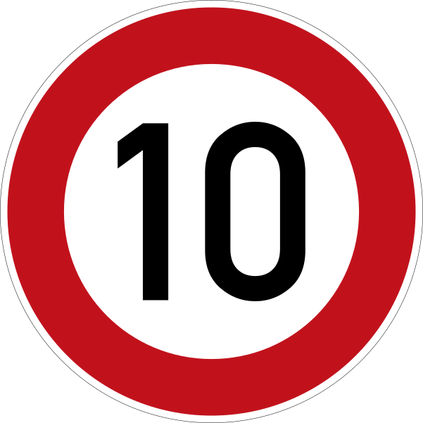 Speed limit 10Code C,14Maximum speed limited to 10 km/h.
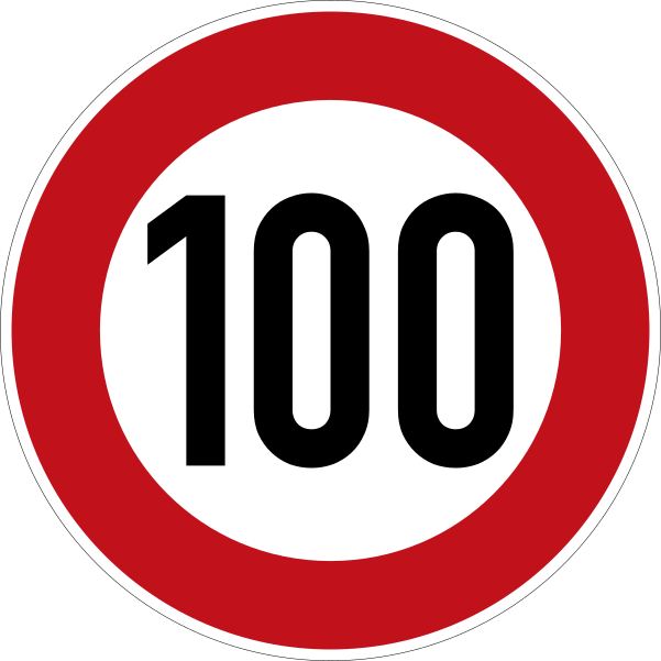 Speed limit 100Code C,14Maximum speed limited to 100 km/h.
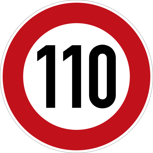 Speed limit 110Code C,14Maximum speed limited to 110 km/h.
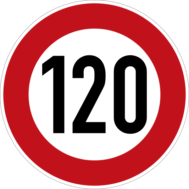 Speed limit 120Code C,14Maximum speed limited to 120 km/h.
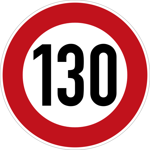 Speed limit 130Code C,14Maximum speed limited to 130 km/h.
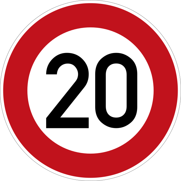 Speed limit 20Code C,14Maximum speed limited to 20 km/h.
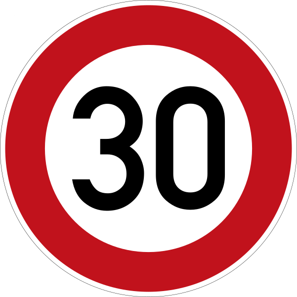 Speed limit 30Code C,14Maximum speed limited to 30 km/h.
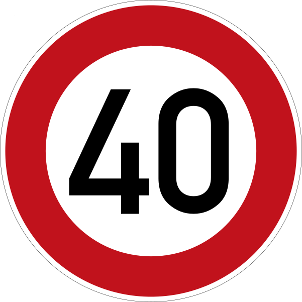 Speed limit 40Code C,14Maximum speed limited to 40 km/h.
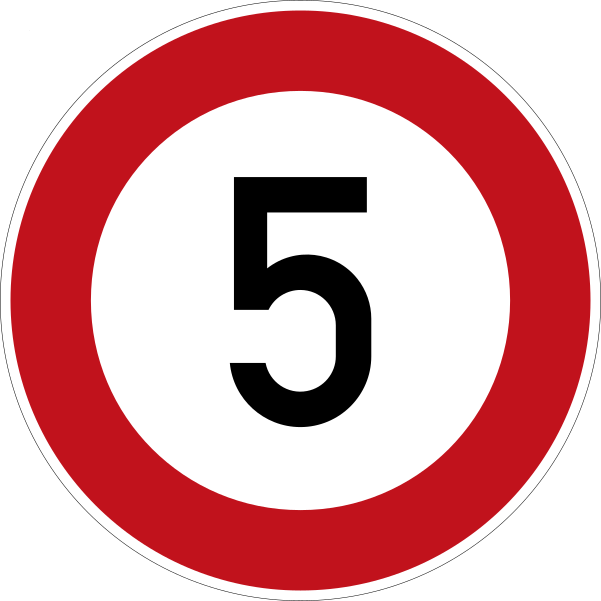 Speed limit 5Code C,14Maximum speed limited to 5 km/h.
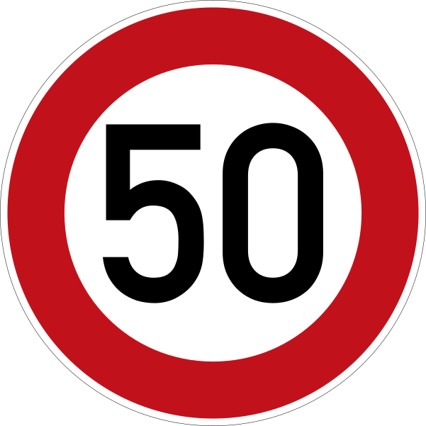 Speed limit 50Code C,14Maximum speed limited to 50 km/h.
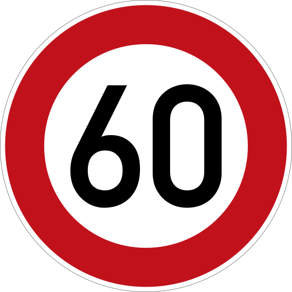 Speed limit 60Code C,14Maximum speed limited to 60 km/h.
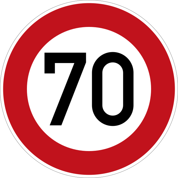 Speed limit 70Code C,14Maximum speed limited to 70 km/h.
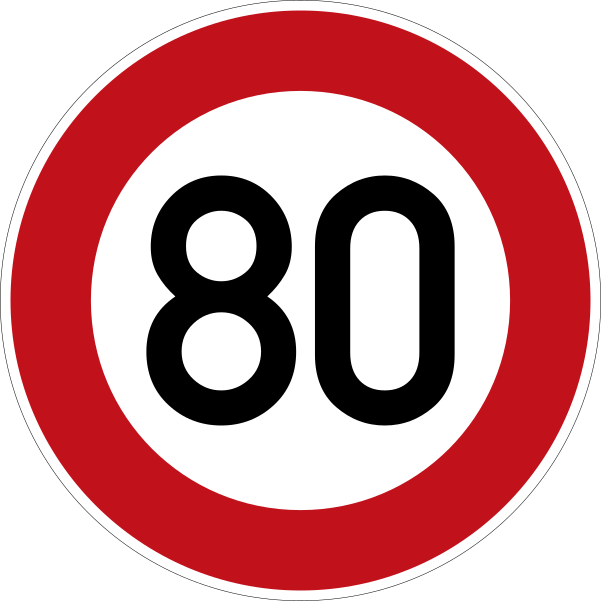 Speed limit 80Code C,14Maximum speed limited to 80 km/h.
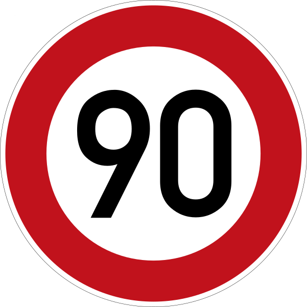 Speed limit 90Code C,14Maximum speed limited to 90 km/h.
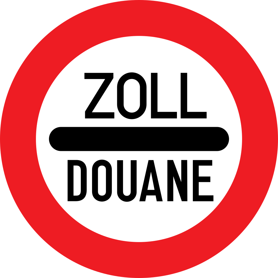 Stop at customs checkpointCode C,16Passing without stopping is prohibited — you must stop, e.g. at customs, a police post, a toll or a frontier.
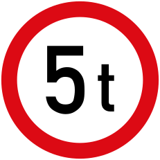 Weight limitCode C,7No entry for vehicles exceeding the indicated laden mass in tonnes.
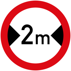 Width limitCode C,5No entry for vehicles wider than the indicated overall width (including load).
Mandatory signs
18 signs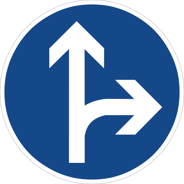 Combined mandatory directionsCode D,11A combination sign grouping two or more mandatory directions or path obligations on a single panel.
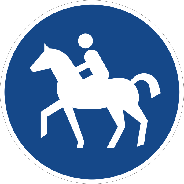 Compulsory bridle pathCode D,6The track is reserved for riders on horseback, who must use it; other road users are prohibited from using it.
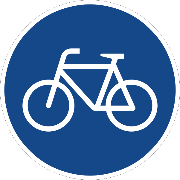 Compulsory cycle trackCode D,4The track is reserved for pedal cyclists, who must use it; other vehicles are prohibited from using it.
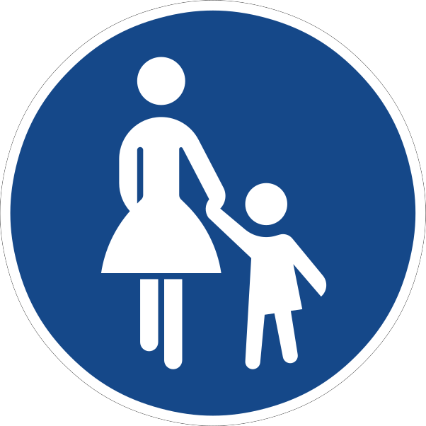 Compulsory footpathCode D,5The path is reserved for pedestrians, who must use it; other road users are prohibited from using it.
 Compulsory roundaboutCode D,3Drivers must follow the direction of circulation around the roundabout (i.e. travel clockwise or anticlockwise as the arrows show).
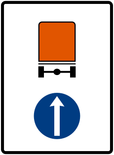 Dangerous goods directionCode D,10Vehicles carrying dangerous goods must proceed in the direction indicated by the arrow.
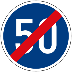 End of minimum speedCode D,8Marks the end of the compulsory minimum speed imposed by sign D,7.
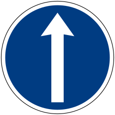 Mandatory ahead onlyCode D,1aDrivers must proceed straight ahead only.
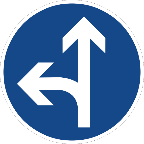 Mandatory ahead or leftCode D,1aDrivers must proceed either straight ahead or turn left.
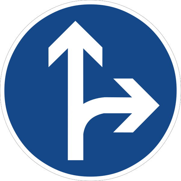 Mandatory ahead or rightCode D,1aDrivers must proceed either straight ahead or turn right.
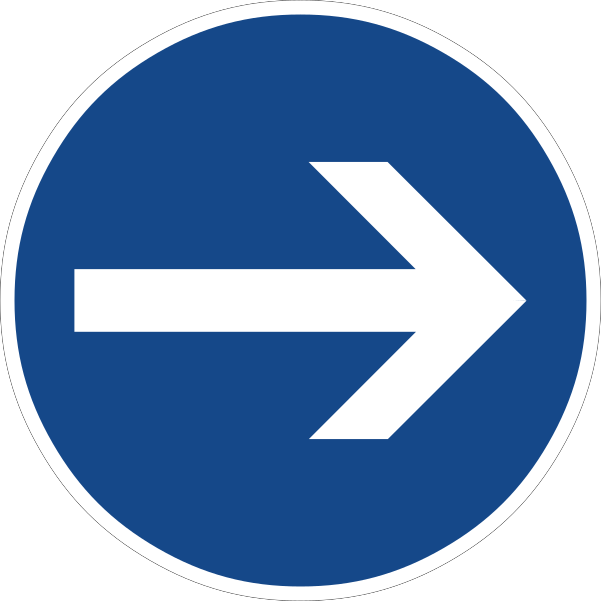 Mandatory direction hereCode D,1bVehicles must proceed only in the direction indicated by the arrow, with the obligation taking effect at the sign itself.
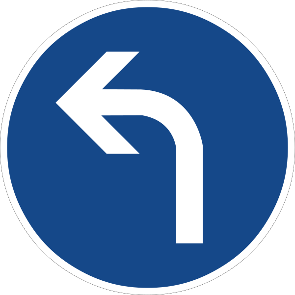 Mandatory turn leftCode D,1aDrivers must turn left at the point where the sign is placed.
 Mandatory turn left or rightCode D,1aDrivers must turn either left or right; proceeding straight ahead is prohibited.
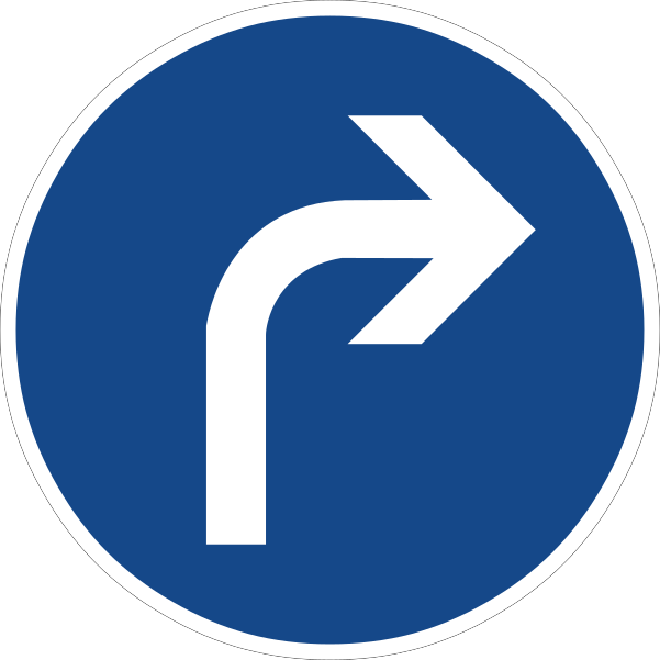 Mandatory turn rightCode D,1aDrivers must turn right at the point where the sign is placed.
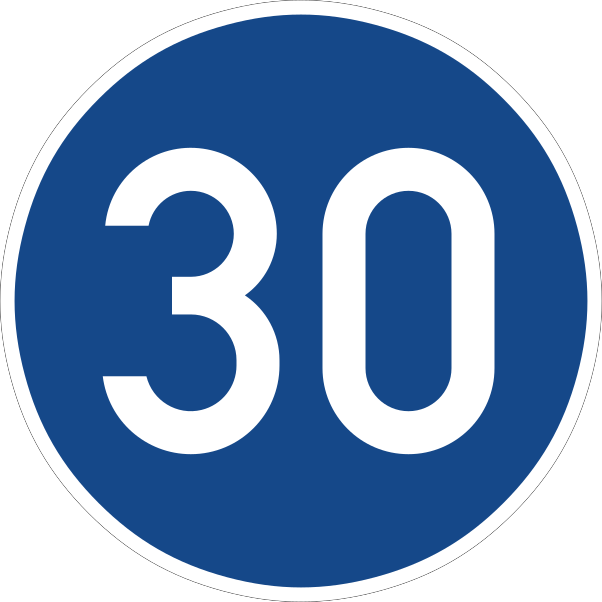 Minimum speedCode D,7Drivers must not travel at a speed lower than the figure shown.
 Pass either sideCode D,2Drivers must pass the obstruction or traffic island on the side indicated by the arrow(s).
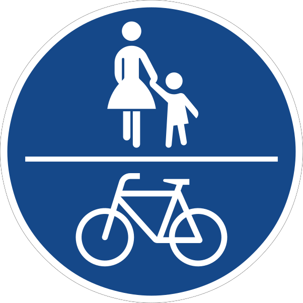 Shared pedestrian cycle pathCode D,4The path is reserved for shared use by both pedestrians and pedal cyclists, who must use it.
 Snow chains compulsoryCode D,9At least two driving wheels of the vehicle must be fitted with snow chains.
Special regulation signs
19 signs Built up area beginCode E,9aMarks the start of a built-up area (town or village), where built-up-area traffic rules and the urban speed limit apply.
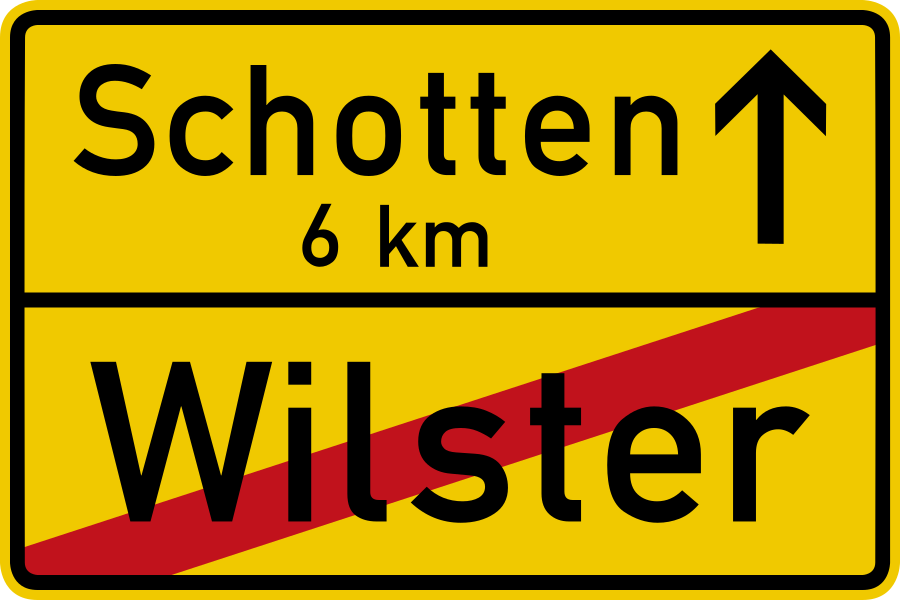 Built up area endCode E,9bMarks the end of a built-up area; built-up-area rules and the urban speed limit cease to apply.
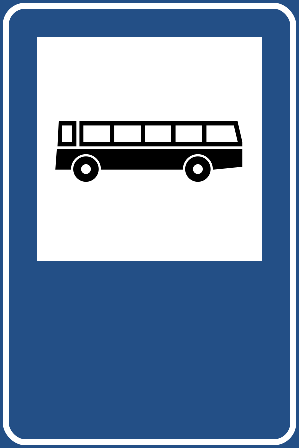 Bus stopCode E,15Indicates a stopping place for buses (and trolleybuses).
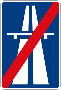 End of motorwayCode E,6Marks the end of a motorway and of the special rules that applied on it.
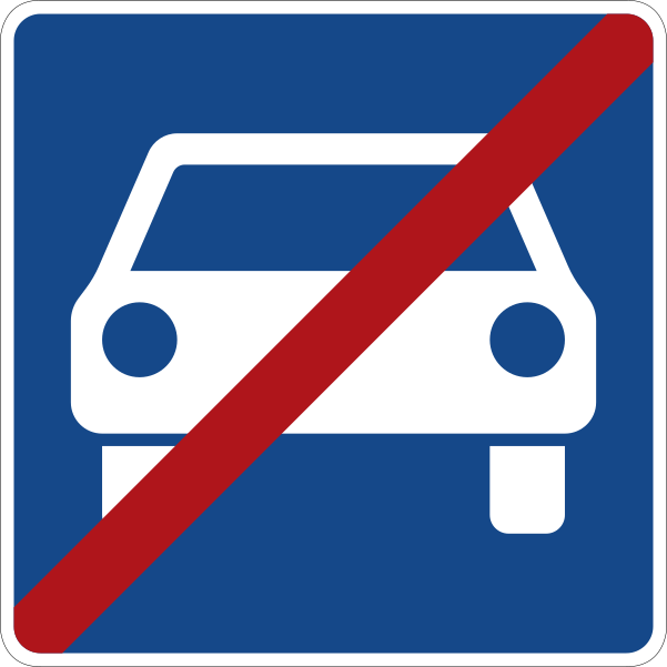 End of road for motor vehiclesCode E,8Marks the end of the road reserved for motor vehicles.
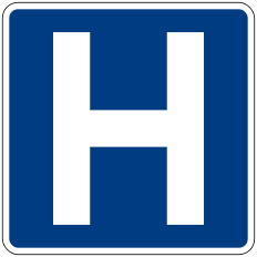 HospitalCode E,13aIndicates a hospital; asks drivers to reduce noise and avoid unnecessary horn use.
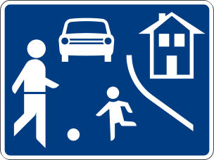 Living street beginCode E,17aMarks the start of a living/residential zone where pedestrians have priority, play is allowed in the street and vehicles must travel at walking pace.
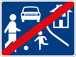 Living street endCode E,17bMarks the end of the living/residential zone and its special rules.
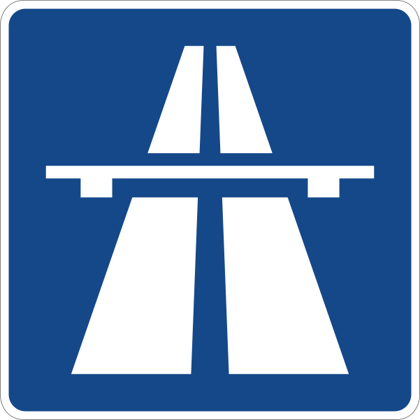 MotorwayCode E,5Marks the beginning of a motorway, where special motorway traffic rules apply.
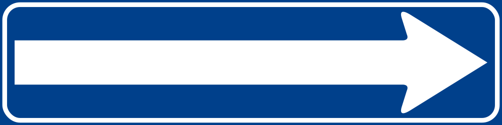 One way traffic arrowCode E,3bIndicates that the street is one-way, with traffic flowing in the horizontal direction shown by the arrow.
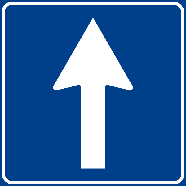 One way traffic straightCode E,3aIndicates a one-way street; traffic on it flows in one direction only (towards the viewer's far side).
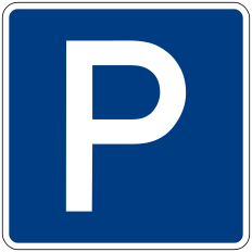 ParkingCode E,14aIndicates a place where parking is permitted.
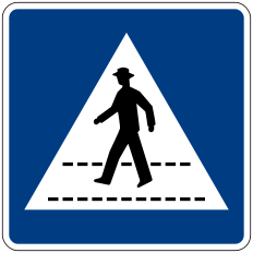 Pedestrian crossingCode E,12aIndicates the location of a pedestrian crossing on the carriageway.
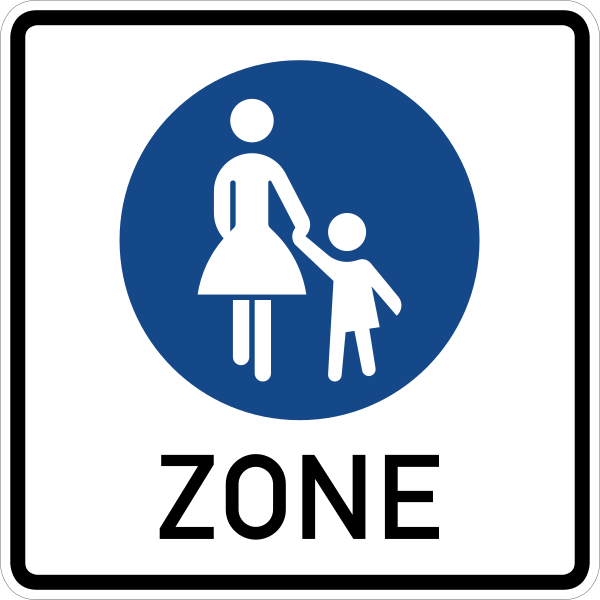 Pedestrian zone beginCode E,18aMarks the start of a pedestrian zone where vehicle traffic is generally prohibited.
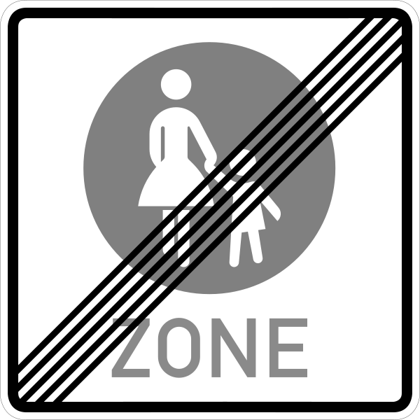 Pedestrian zone endCode E,18bMarks the end of the pedestrian zone.
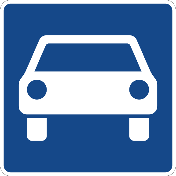 Road for motor vehiclesCode E,7Marks the beginning of a road reserved for motor vehicles (an expressway), with motorway-like rules but not a full motorway.
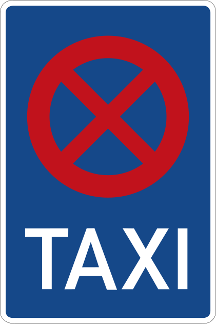 Taxi standCode E,15Indicates a taxi rank reserved for taxis waiting for passengers.
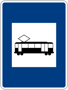 Tram stopCode E,16Indicates a stopping place for trams (streetcars).
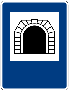 TunnelCode E,11aMarks a road tunnel, where special tunnel rules apply (use of dipped headlights, no stopping, no U-turns).
Information signs
21 signs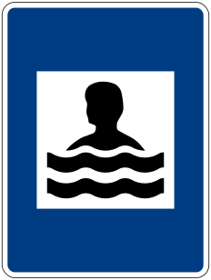 Beach or swimming poolCode F,16Indicates the location of, or route to, a beach or public swimming facility.
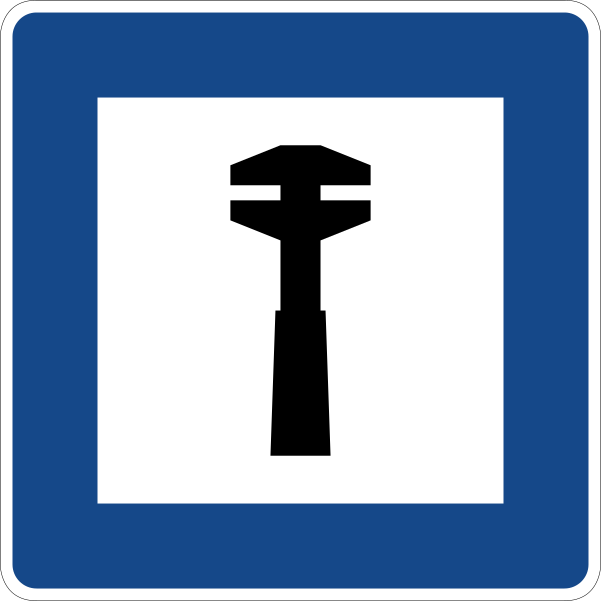 Breakdown serviceCode F,2Indicates the location of, or route to, a vehicle breakdown / repair service.
 Camping and caravan siteCode F,12Indicates a site permitted for both tent camping and caravans.
 Camping siteCode F,10Indicates a site permitted for tent camping.
 Caravan siteCode F,11Indicates a site permitted for caravans and motor caravans.
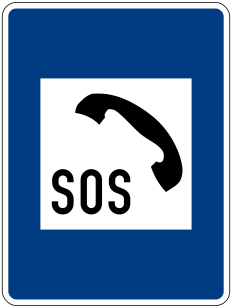 Emergency telephoneCode F,17Indicates the location of an emergency telephone for calling assistance.
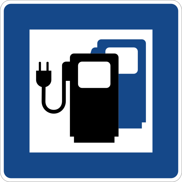 Ev charging stationCode F,?Indicates the location of, or route to, an electric vehicle charging point.
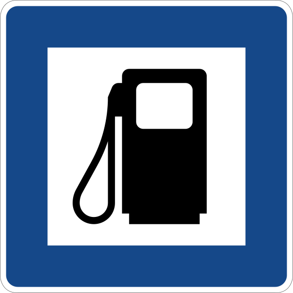 Filling stationCode F,4Indicates the location of, or route to, a fuel (petrol) filling station.
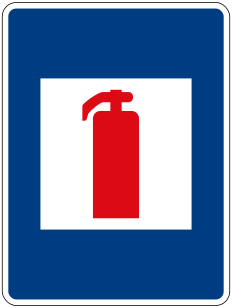 Fire extinguisherCode F,18Indicates the location of a fire extinguisher.
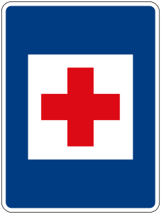 First aid postCode F,1aIndicates the location of, or route to, the nearest first-aid post.
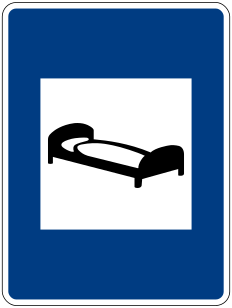 Hotel or motelCode F,5Indicates the location of, or route to, a hotel or motel.
 Information pointCode F,?Indicates a tourist or traffic information point or office.
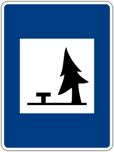 Picnic siteCode F,8Indicates a picnic site or area equipped with tables for travellers.
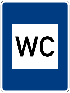 Public lavatoryCode F,15Indicates the location of public toilet facilities.
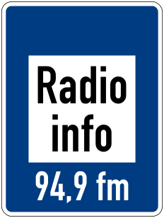 Radio traffic informationCode F,14Informs drivers of the radio frequency on which local traffic information is broadcast.
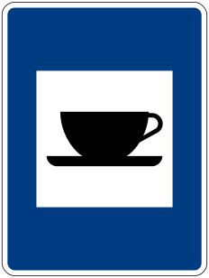 RefreshmentsCode F,7Indicates the location of, or route to, a cafe or place serving refreshments and light meals.
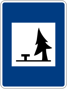 Rest areaCode F,8Indicates a rest area or layby where drivers can stop and rest off the carriageway.
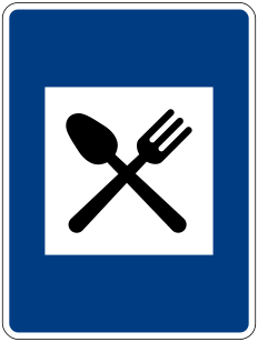 RestaurantCode F,6Indicates the location of, or route to, a restaurant.
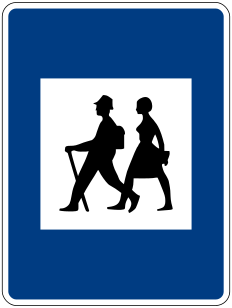 Starting point for walksCode F,9Indicates a starting point for walking or hiking routes.
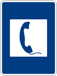 TelephoneCode F,3Indicates the location of a public telephone.
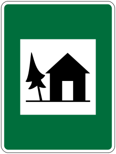 Youth hostelCode F,13Indicates the location of, or route to, a youth hostel.
Direction signs
11 signs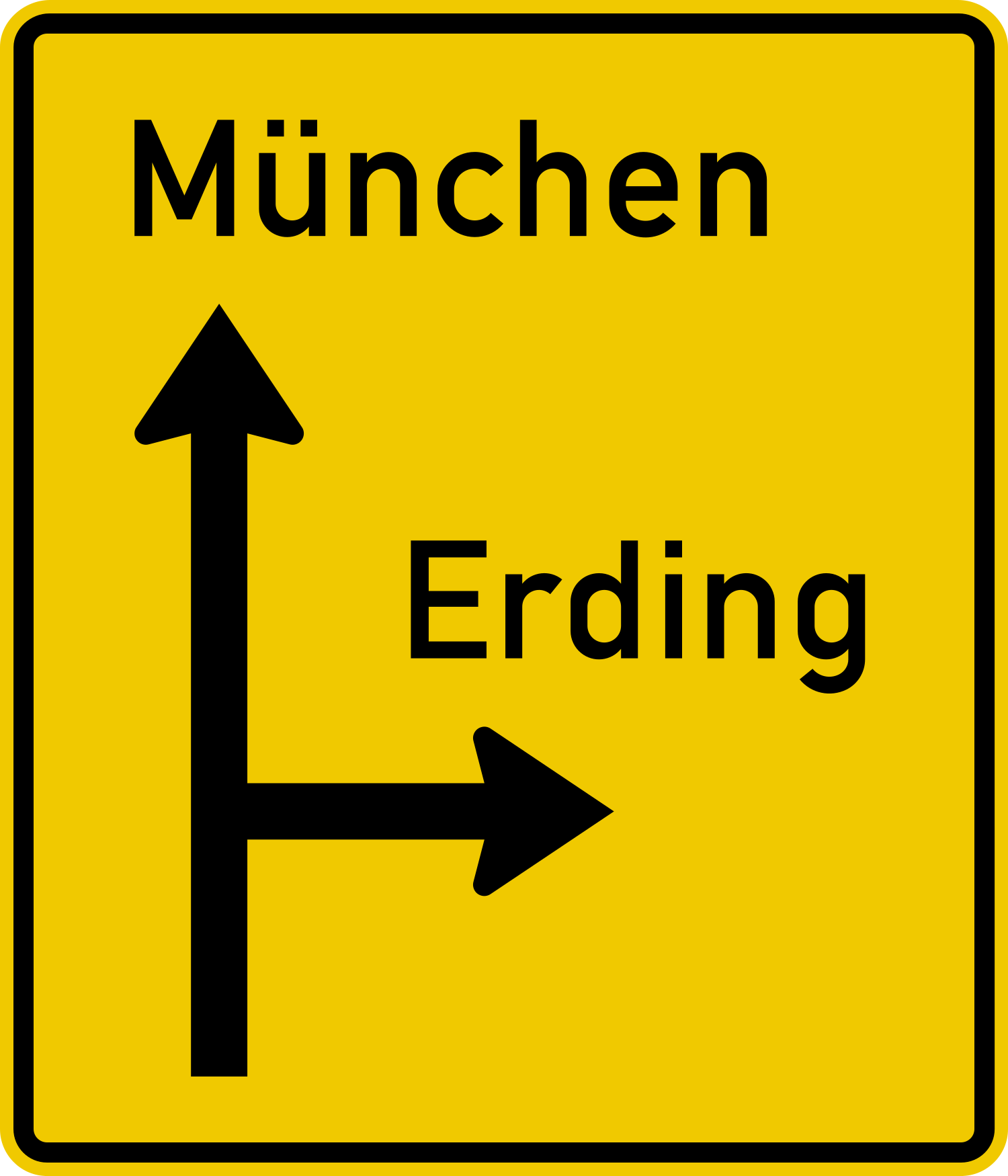 Advance direction signCode G,1Gives advance notice, before a junction, of the destinations reachable and the direction to each.
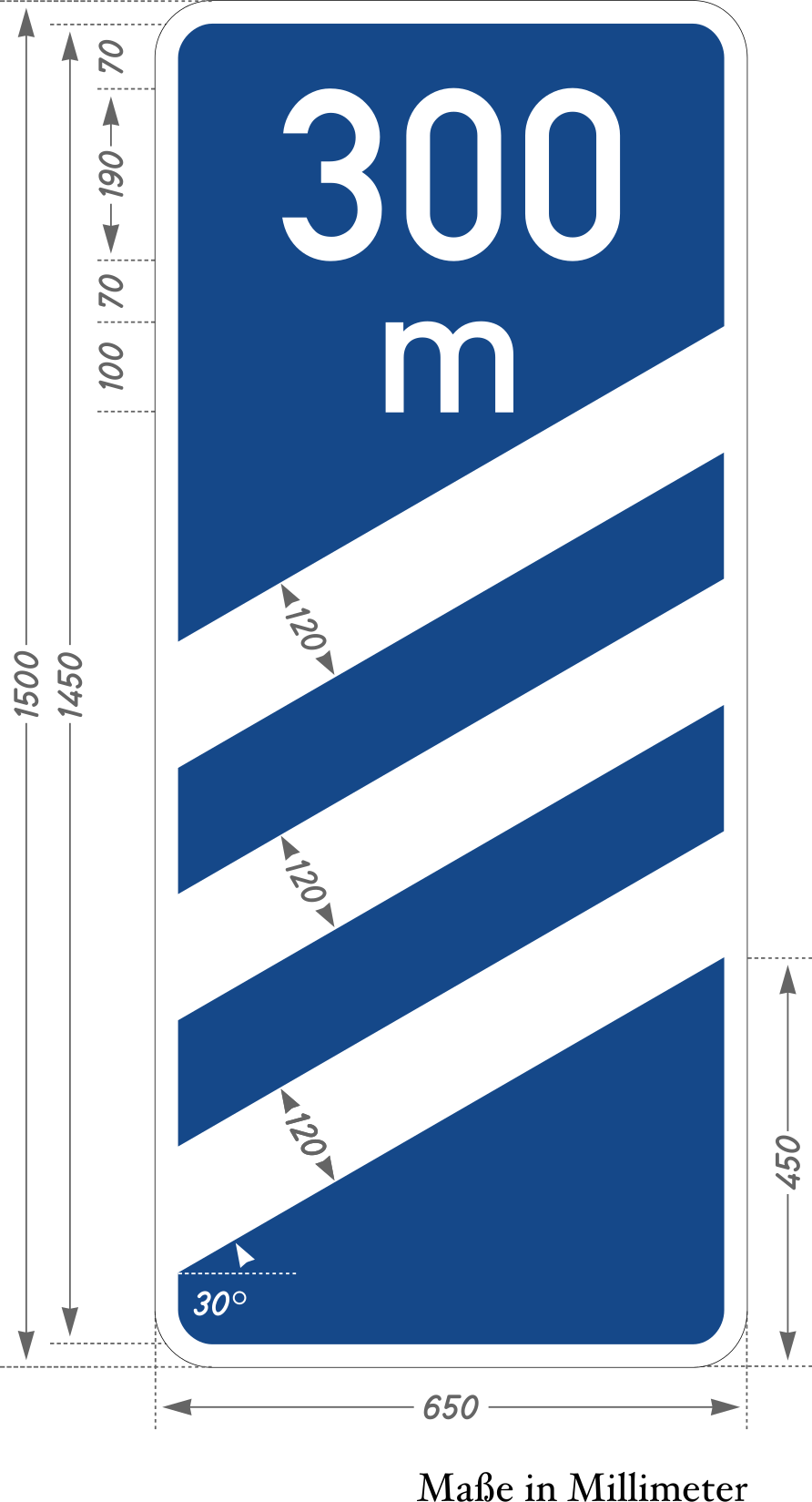 Countdown markersCode G,22Countdown beacons indicating the approach to a motorway exit, typically at 300, 200 and 100 metres.
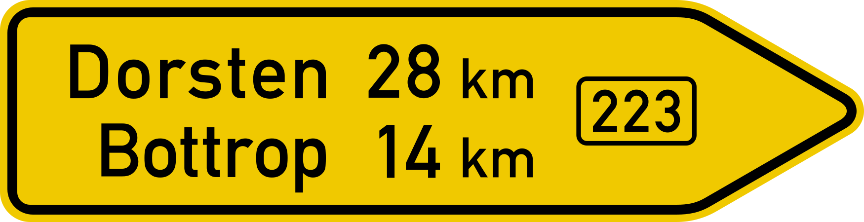 Direction sign arrowheadCode G,2Indicates, at a junction, the direction to a named destination.
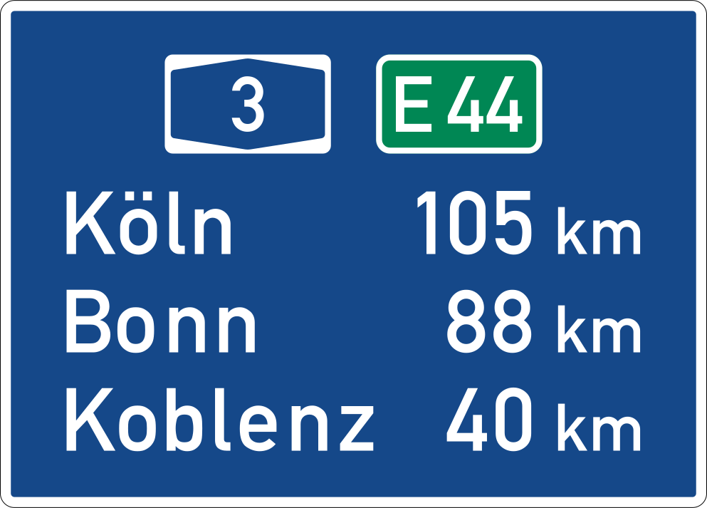 Distance markerCode G,6Indicates the distance, in kilometres, to a destination or the cumulative distance along a route.
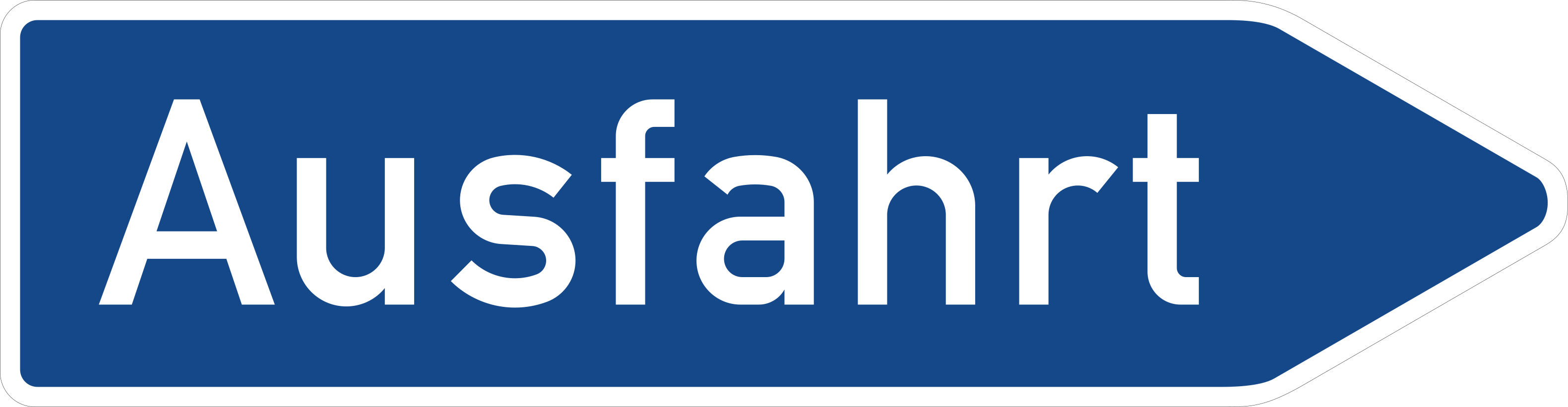 Exit signCode G,5Indicates an exit from a motorway or expressway and the destinations served by it.
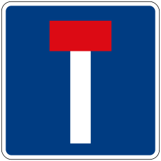 No through road indicationCode G,13Advises that the road or one of its branches is a no-through road (dead end).
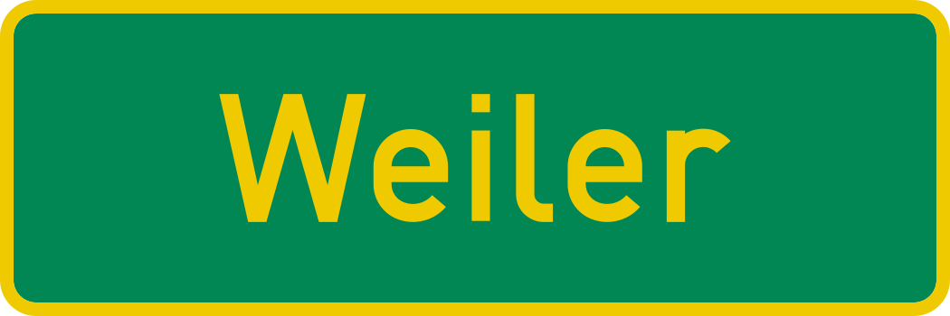 Place identificationCode G,3Identifies a geographic feature such as a town, river, region or boundary being entered.
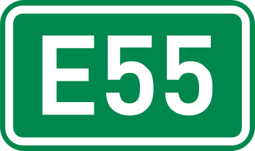 Road number plateCode G,7Identifies a road by its official route number (national, regional or European E-road).
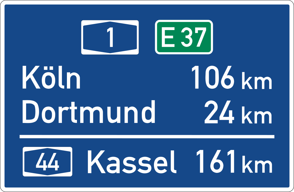 Route confirmationCode G,4Confirms, after a junction, the route being followed and lists onward destinations with their distances.
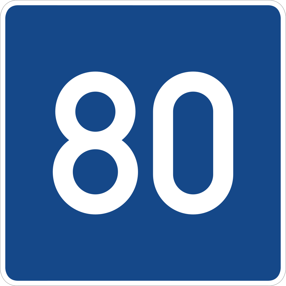 Advisory speedCode G,17Indicates a recommended (advisory) speed for a section of road, not a legally binding limit.
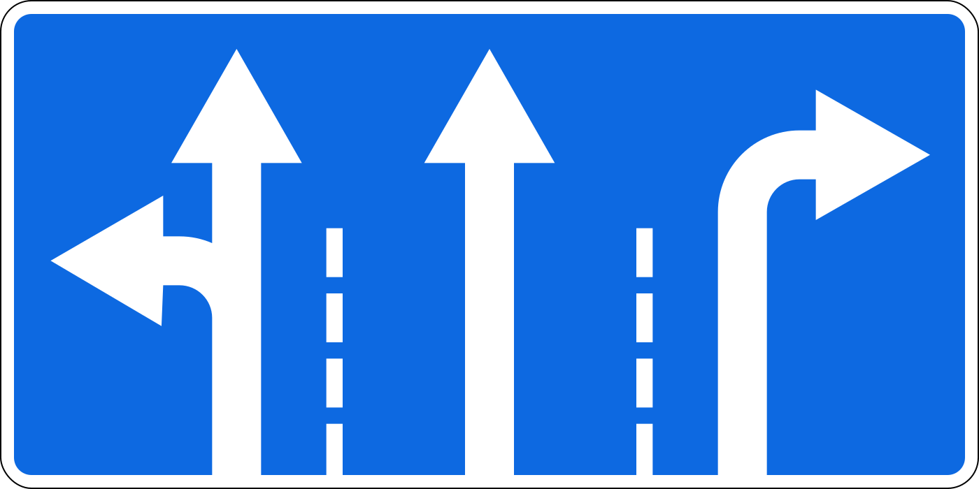 Lane control arrowsCode G,11Shows the number of lanes and the permitted or recommended direction of travel for each lane on the road ahead.
Additional panels
8 signs Panel directional arrowCode H,3Shows the direction in which the main sign's restriction, hazard or facility lies.
 Panel distance to hazardCode H,1States the distance from the sign to the start of the hazard or zone to which the main sign refers.
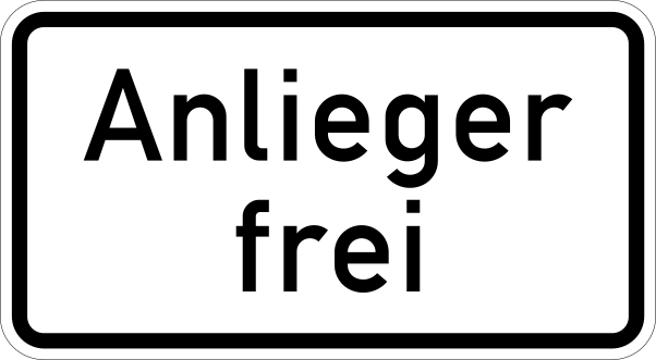 Panel except residentsCode H,6Exempts a specified group — such as residents, permit holders or service vehicles — from the main sign's restriction.
 Panel extent applies from hereCode H,8Indicates that the regulation of the main sign begins at this point (start of zone).
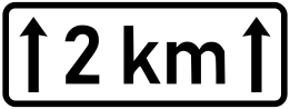 Panel length of zoneCode H,2States the length of the road section over which the main sign's hazard or restriction applies.
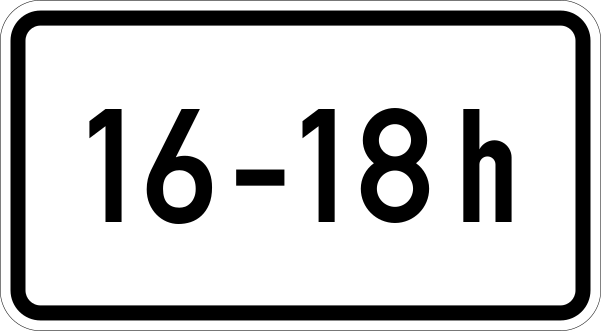 Panel time of applicationCode H,4States the times, days or periods during which the main sign's regulation is in force.
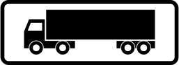 Panel vehicle categoryCode H,5Restricts the main sign's regulation to (or exempts) a specified category of vehicle.
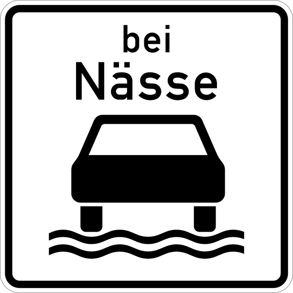 Panel wet conditionsCode H,7Restricts the main sign's regulation to wet road conditions (rain or a wet carriageway).
Ready for your Norway theory test?
Signs are only part of the exam. Practice full Norway mock tests and see which topics you still get wrong.